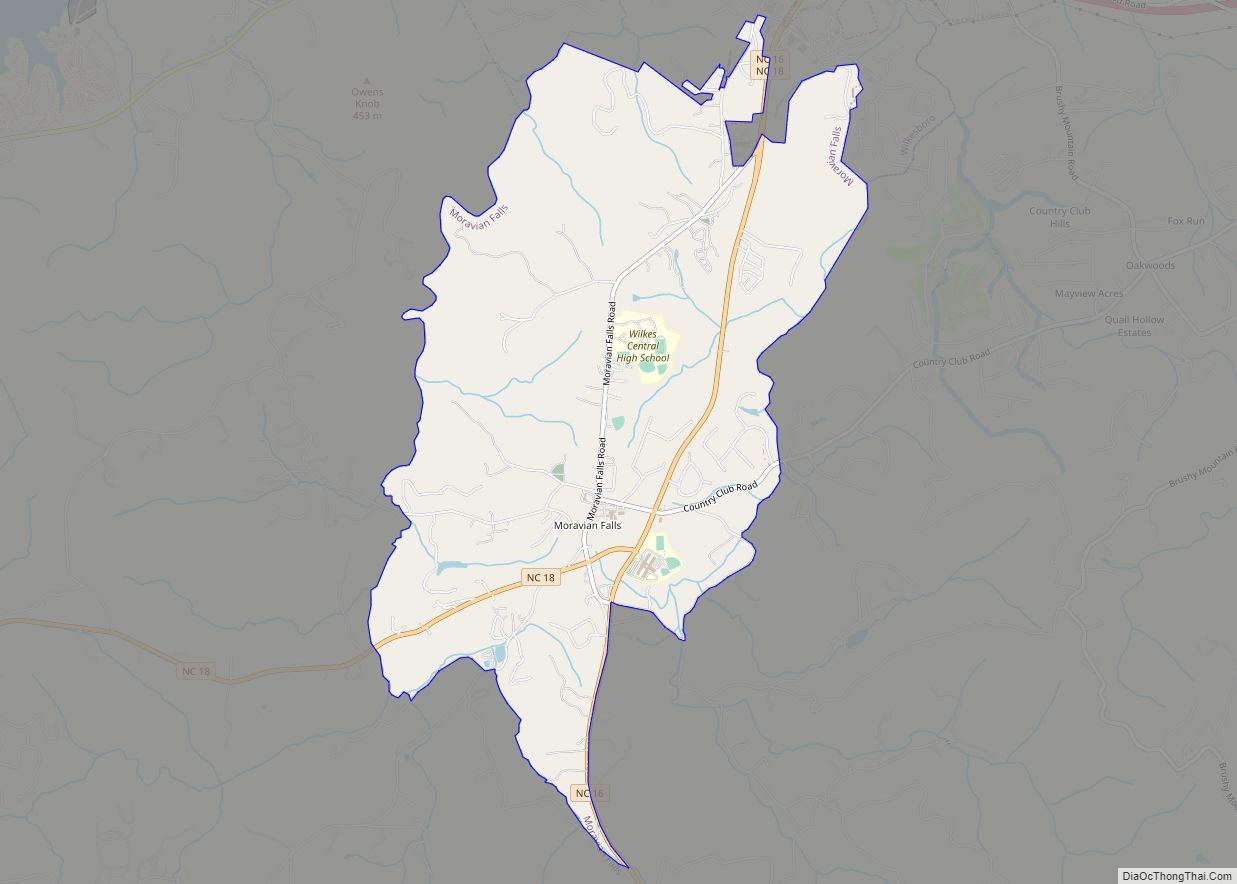
Moravian Falls (formerly, Petersburg and Forks of the Road) is a census-designated place (CDP) in Wilkes County, North Carolina, United States. The population was 1,802 as of the 2020 census.
| Name: | Moravian Falls CDP |
|---|---|
| LSAD Code: | 57 |
| LSAD Description: | CDP (suffix) |
| State: | North Carolina |
| County: | Wilkes County |
| Elevation: | 1,194 ft (364 m) |
| Total Area: | 5.14 sq mi (13.32 km²) |
| Land Area: | 5.13 sq mi (13.30 km²) |
| Water Area: | 0.01 sq mi (0.02 km²) |
| Total Population: | 1,712 |
| Population Density: | 333.40/sq mi (128.72/km²) |
| ZIP code: | 28654 |
| Area code: | 336/743 |
| FIPS code: | 3744280 |
| GNISfeature ID: | 0990215 |
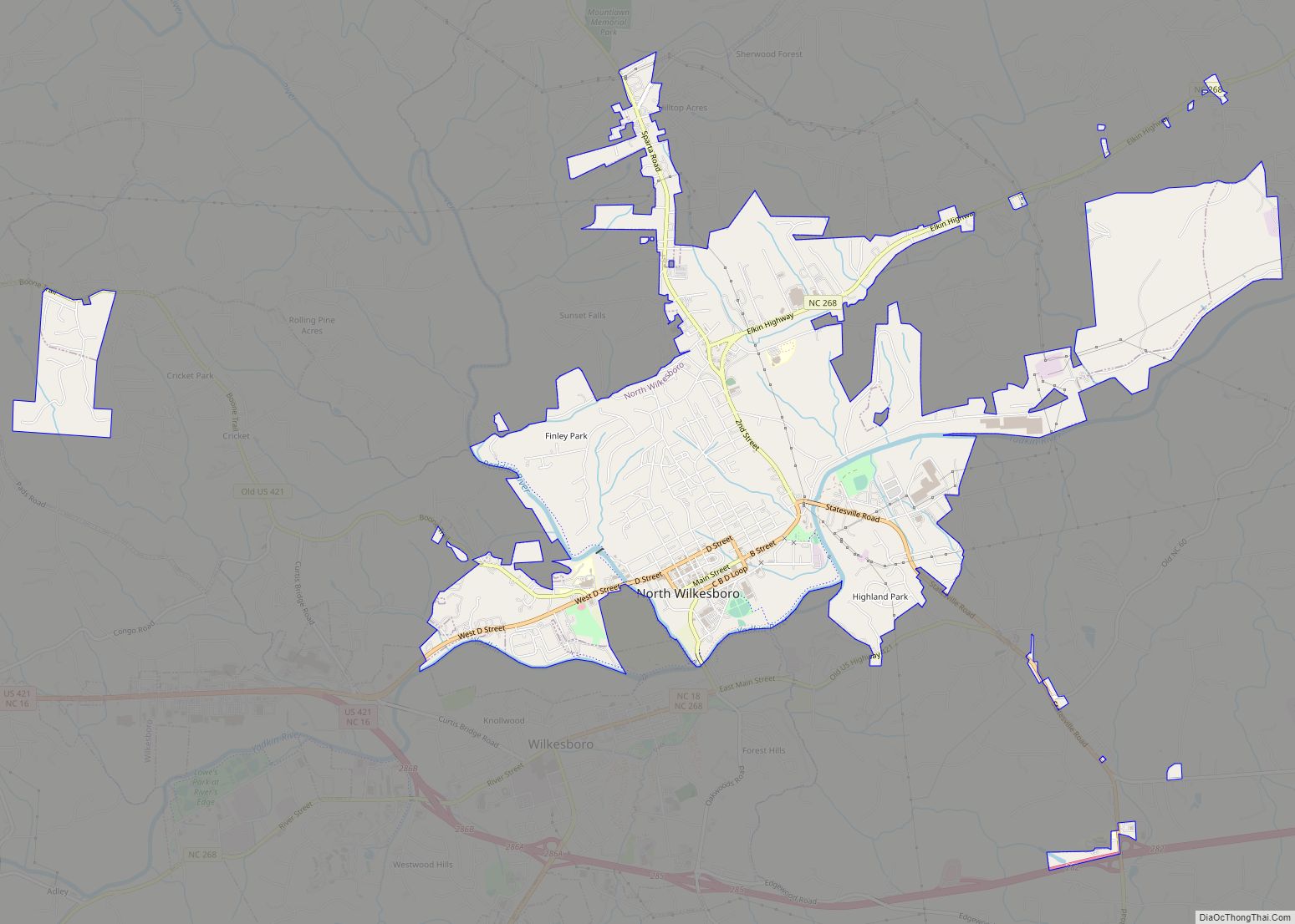
Online Interactive Map
Click on ![]() to view map in "full screen" mode.
to view map in "full screen" mode.
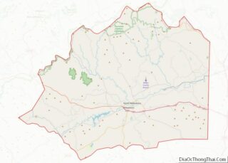
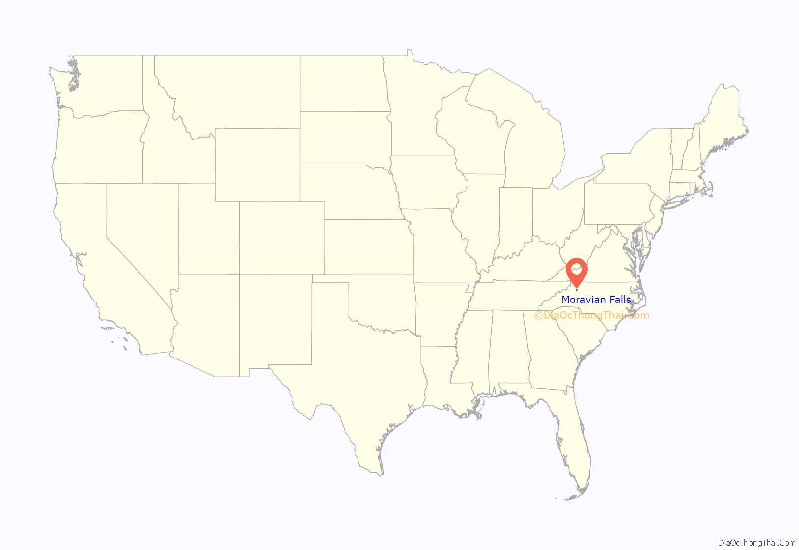
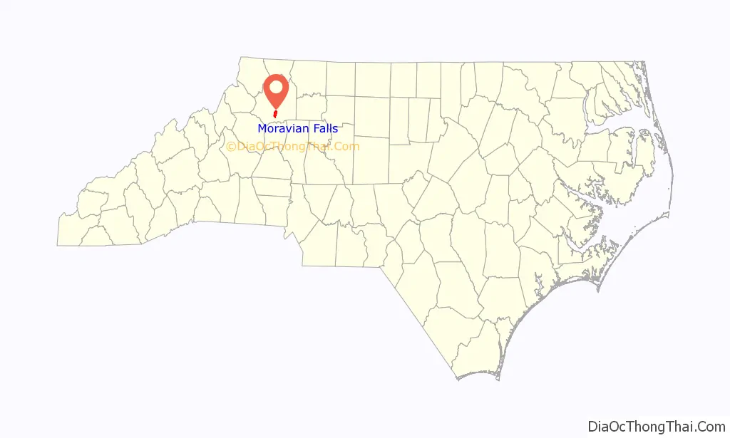
Moravian Falls location map. Where is Moravian Falls CDP?
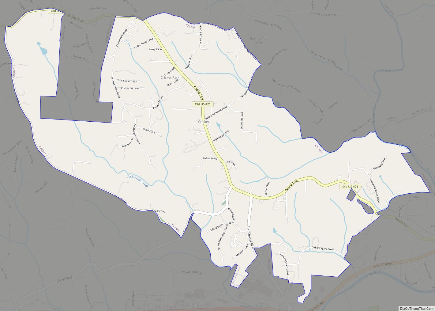
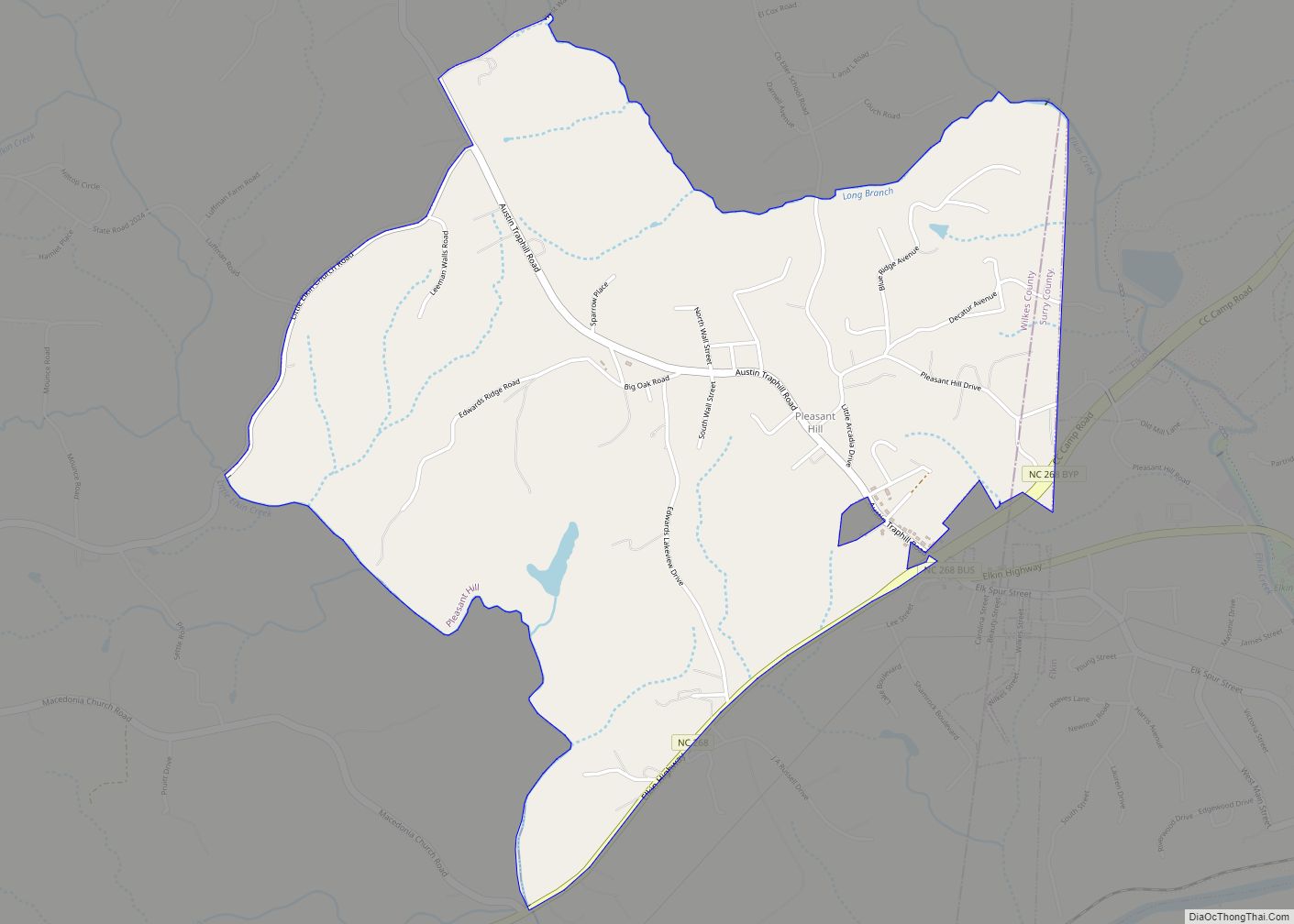
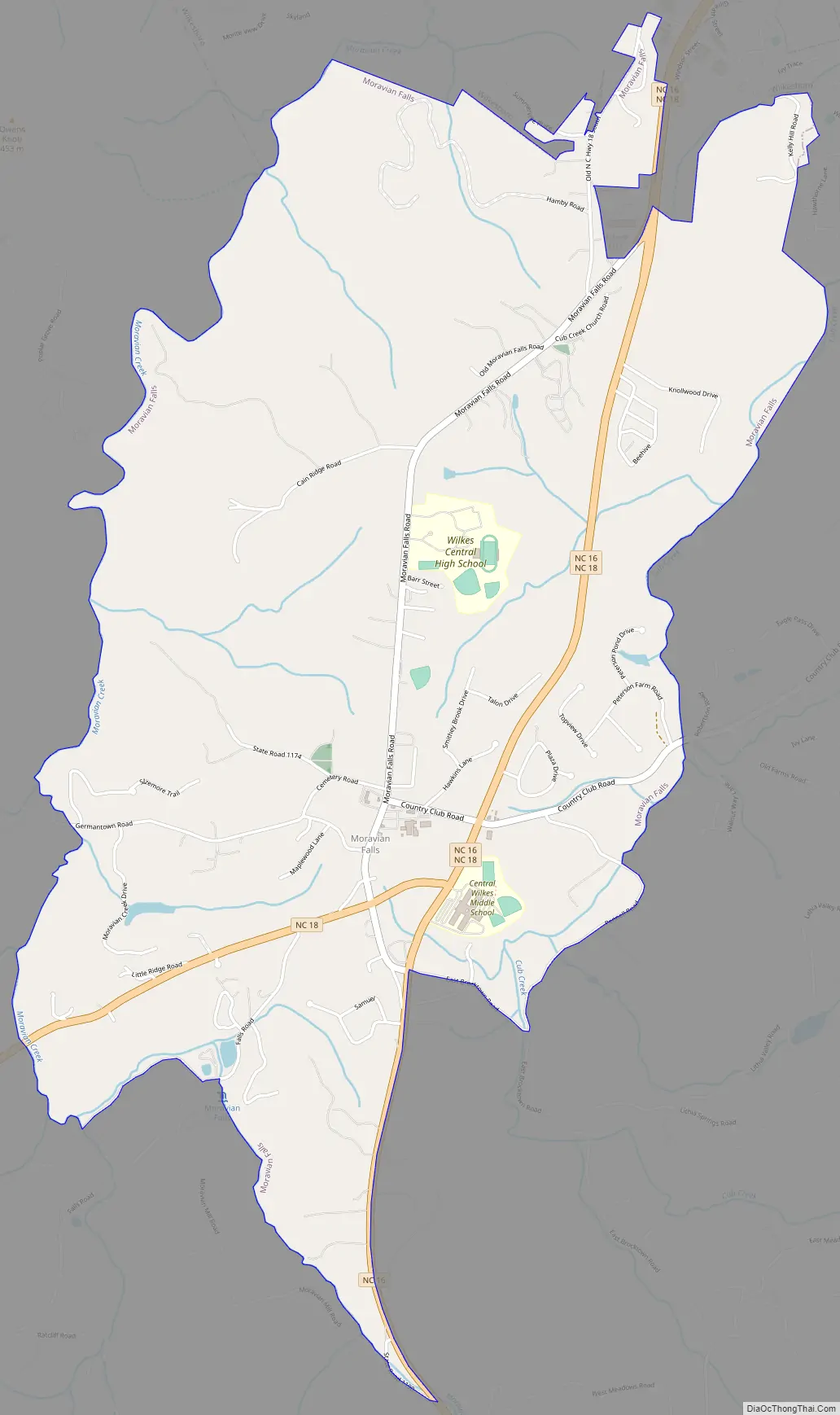
Moravian Falls Road Map
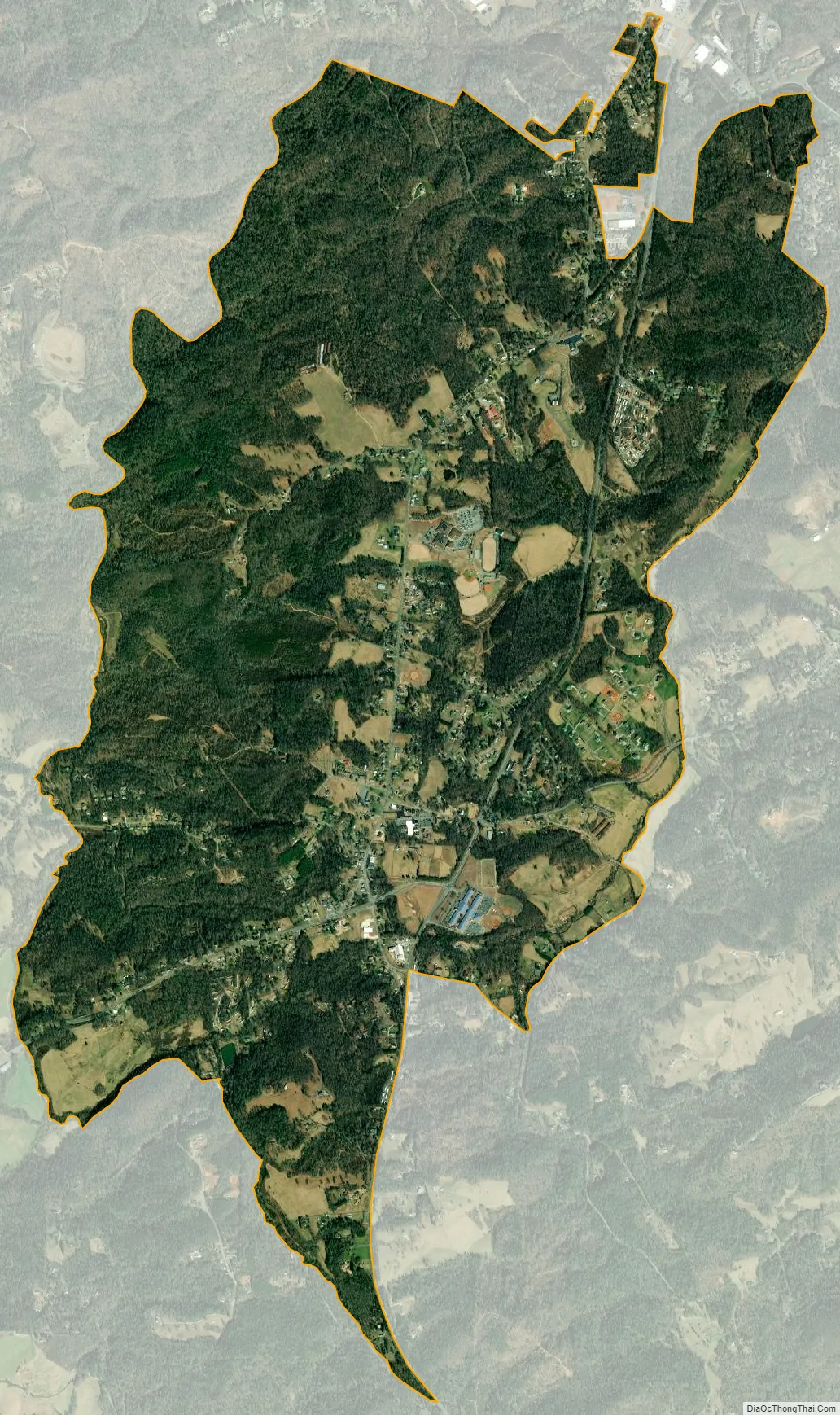
Moravian Falls city Satellite Map
Geography
Moravian Falls is located at 36°6′22″N 81°10′34″W / 36.10611°N 81.17611°W / 36.10611; -81.17611 (36.106113, -81.176105) at an elevation of 1,194 feet above mean sea level. According to the United States Census Bureau, the CDP has a total area of 5.1 square miles (13 km), of which, 5.1 square miles (13 km) is land and 0.20% is water. Moravian Falls is located in the foothills of the Brushy Mountains, which rise to the south of the community. Pores Knob, the highest point in the Brushy Mountains, is located in Moravian Falls.
See also
Map of North Carolina State and its subdivision:- Alamance
- Alexander
- Alleghany
- Anson
- Ashe
- Avery
- Beaufort
- Bertie
- Bladen
- Brunswick
- Buncombe
- Burke
- Cabarrus
- Caldwell
- Camden
- Carteret
- Caswell
- Catawba
- Chatham
- Cherokee
- Chowan
- Clay
- Cleveland
- Columbus
- Craven
- Cumberland
- Currituck
- Dare
- Davidson
- Davie
- Duplin
- Durham
- Edgecombe
- Forsyth
- Franklin
- Gaston
- Gates
- Graham
- Granville
- Greene
- Guilford
- Halifax
- Harnett
- Haywood
- Henderson
- Hertford
- Hoke
- Hyde
- Iredell
- Jackson
- Johnston
- Jones
- Lee
- Lenoir
- Lincoln
- Macon
- Madison
- Martin
- McDowell
- Mecklenburg
- Mitchell
- Montgomery
- Moore
- Nash
- New Hanover
- Northampton
- Onslow
- Orange
- Pamlico
- Pasquotank
- Pender
- Perquimans
- Person
- Pitt
- Polk
- Randolph
- Richmond
- Robeson
- Rockingham
- Rowan
- Rutherford
- Sampson
- Scotland
- Stanly
- Stokes
- Surry
- Swain
- Transylvania
- Tyrrell
- Union
- Vance
- Wake
- Warren
- Washington
- Watauga
- Wayne
- Wilkes
- Wilson
- Yadkin
- Yancey
- Alabama
- Alaska
- Arizona
- Arkansas
- California
- Colorado
- Connecticut
- Delaware
- District of Columbia
- Florida
- Georgia
- Hawaii
- Idaho
- Illinois
- Indiana
- Iowa
- Kansas
- Kentucky
- Louisiana
- Maine
- Maryland
- Massachusetts
- Michigan
- Minnesota
- Mississippi
- Missouri
- Montana
- Nebraska
- Nevada
- New Hampshire
- New Jersey
- New Mexico
- New York
- North Carolina
- North Dakota
- Ohio
- Oklahoma
- Oregon
- Pennsylvania
- Rhode Island
- South Carolina
- South Dakota
- Tennessee
- Texas
- Utah
- Vermont
- Virginia
- Washington
- West Virginia
- Wisconsin
- Wyoming