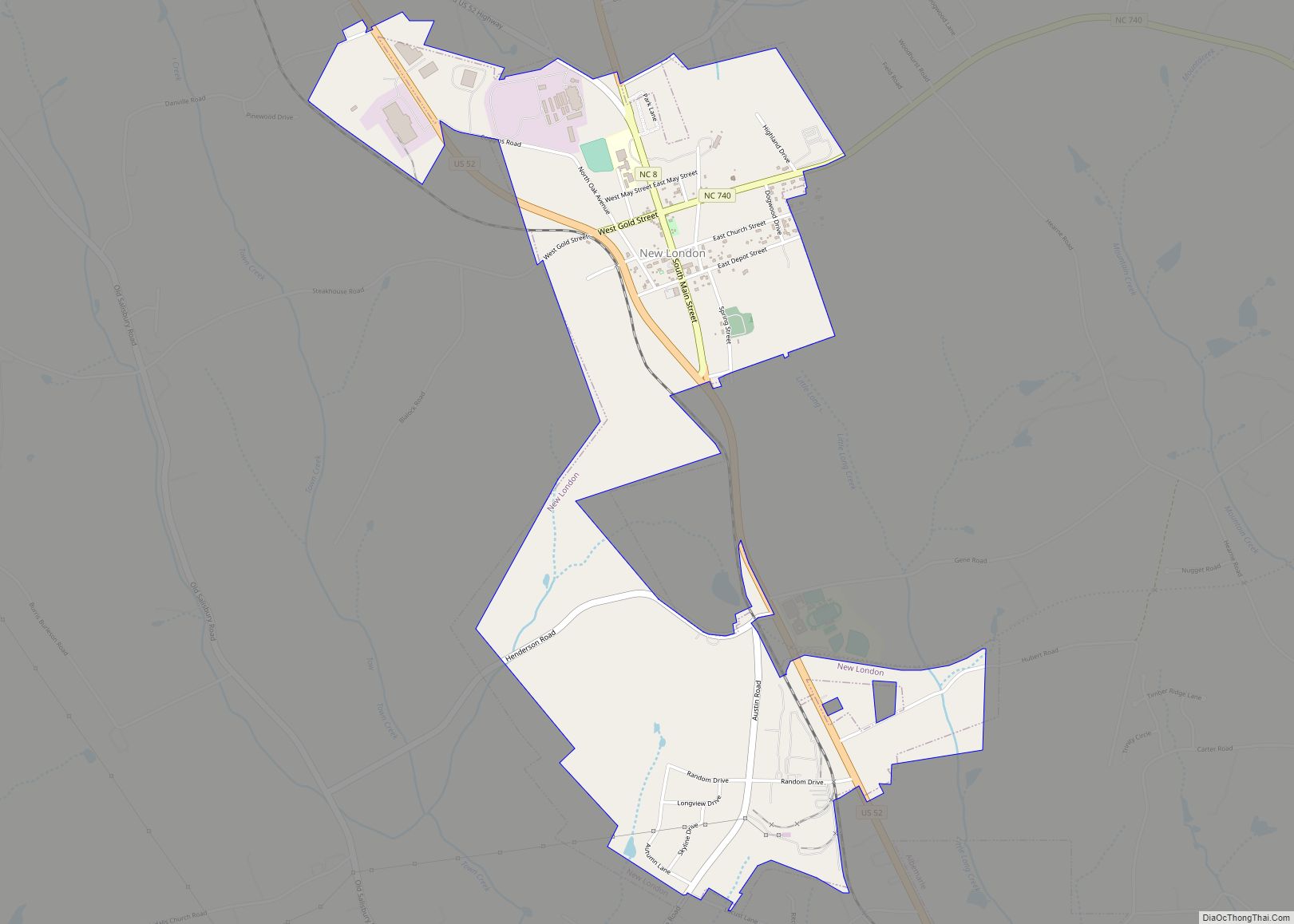
New London is a town in Stanly County, North Carolina, United States. The population was 600 at the 2010 census, and was estimated to be 724 as of 2019. The town lies between Albemarle and Richfield along U.S. 52 in the southern Piedmont region of the state, approximately 45 miles (72 km) east-northeast of Charlotte. It was the site of a gold mine, which was active during periods of the mid-1800s and early 1900s.
| Name: | New London town |
|---|---|
| LSAD Code: | 43 |
| LSAD Description: | town (suffix) |
| State: | North Carolina |
| County: | Stanly County |
| Elevation: | 732 ft (223 m) |
| Total Area: | 1.98 sq mi (5.12 km²) |
| Land Area: | 1.98 sq mi (5.12 km²) |
| Water Area: | 0.00 sq mi (0.00 km²) |
| Total Population: | 607 |
| Population Density: | 307.34/sq mi (118.64/km²) |
| ZIP code: | 28127 |
| Area code: | 704 |
| FIPS code: | 3746820 |
| GNISfeature ID: | 1013929 |
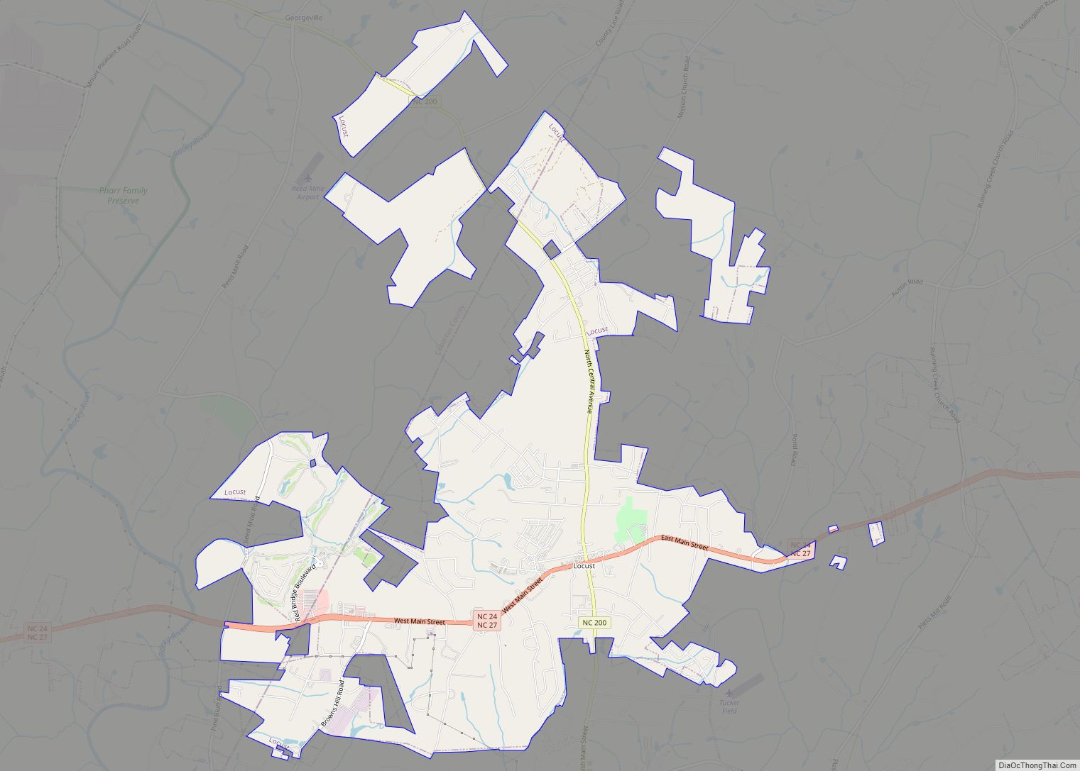
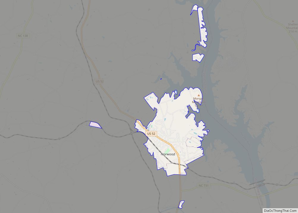
Online Interactive Map
Click on ![]() to view map in "full screen" mode.
to view map in "full screen" mode.
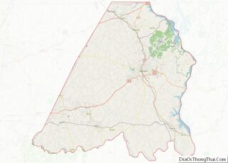
New London location map. Where is New London town?


History
New London was founded as the unincorporated settlement of Bilesville, north of Albemarle, circa 1830, and named after Thomas “Uncle Tommy” Biles, a local landowner and farmer. At the time, the land was part of Montgomery County until Stanly County was formed in 1841. Near the area where the first Carolina Gold Rush took place, gold was found near Bilesville and the first mine was opened in 1859, though it closed during the Civil War. When the New London & States Company purchased the mine to reopen it in the early 1870s, and at the suggestion of company executive W. A. Judd, the settlement voted to rename itself after the company. The settlement became officially incorporated as a town on March 25, 1891. The main gold mine, known as the Parker Mine (after the farmer on whose land it was discovered) ceased operation in 1894, though several other local industries continued to provide employment for the town, including a cordage mill, a lumber mill, a brick mill, and a livery stable. In 1923, less than three years after the adoption of the Nineteenth Amendment granting women the right to vote, the town elected Mrs. T. V. Staton as their mayor, becoming the first female mayor, as well as the first female to serve in municipal government in the state. The mine was reopened for a time starting in 1934, and throughout the 1920s and 1930s, modern amenities such as telephone service, electrical service, paved roads, and a state highway were built in town. Town sewer and water service was completed in 2002.
New London Road Map

New London city Satellite Map

Geography
New London is located at 35°26′41″N 80°13′7″W / 35.44472°N 80.21861°W / 35.44472; -80.21861 (35.444859, -80.218723).
According to the United States Census Bureau, the town has a total area of 0.6 square miles (1.6 km), all land.
See also
Map of North Carolina State and its subdivision:- Alamance
- Alexander
- Alleghany
- Anson
- Ashe
- Avery
- Beaufort
- Bertie
- Bladen
- Brunswick
- Buncombe
- Burke
- Cabarrus
- Caldwell
- Camden
- Carteret
- Caswell
- Catawba
- Chatham
- Cherokee
- Chowan
- Clay
- Cleveland
- Columbus
- Craven
- Cumberland
- Currituck
- Dare
- Davidson
- Davie
- Duplin
- Durham
- Edgecombe
- Forsyth
- Franklin
- Gaston
- Gates
- Graham
- Granville
- Greene
- Guilford
- Halifax
- Harnett
- Haywood
- Henderson
- Hertford
- Hoke
- Hyde
- Iredell
- Jackson
- Johnston
- Jones
- Lee
- Lenoir
- Lincoln
- Macon
- Madison
- Martin
- McDowell
- Mecklenburg
- Mitchell
- Montgomery
- Moore
- Nash
- New Hanover
- Northampton
- Onslow
- Orange
- Pamlico
- Pasquotank
- Pender
- Perquimans
- Person
- Pitt
- Polk
- Randolph
- Richmond
- Robeson
- Rockingham
- Rowan
- Rutherford
- Sampson
- Scotland
- Stanly
- Stokes
- Surry
- Swain
- Transylvania
- Tyrrell
- Union
- Vance
- Wake
- Warren
- Washington
- Watauga
- Wayne
- Wilkes
- Wilson
- Yadkin
- Yancey
- Alabama
- Alaska
- Arizona
- Arkansas
- California
- Colorado
- Connecticut
- Delaware
- District of Columbia
- Florida
- Georgia
- Hawaii
- Idaho
- Illinois
- Indiana
- Iowa
- Kansas
- Kentucky
- Louisiana
- Maine
- Maryland
- Massachusetts
- Michigan
- Minnesota
- Mississippi
- Missouri
- Montana
- Nebraska
- Nevada
- New Hampshire
- New Jersey
- New Mexico
- New York
- North Carolina
- North Dakota
- Ohio
- Oklahoma
- Oregon
- Pennsylvania
- Rhode Island
- South Carolina
- South Dakota
- Tennessee
- Texas
- Utah
- Vermont
- Virginia
- Washington
- West Virginia
- Wisconsin
- Wyoming