Ocracoke /ˈoʊkrəkoʊk/ is a census-designated place (CDP) and unincorporated town located at the southern end of Ocracoke Island, located entirely within Hyde County, North Carolina, United States. The population was 948 as of the 2010 census. In the 2020 census, the population had dropped to 797 people.
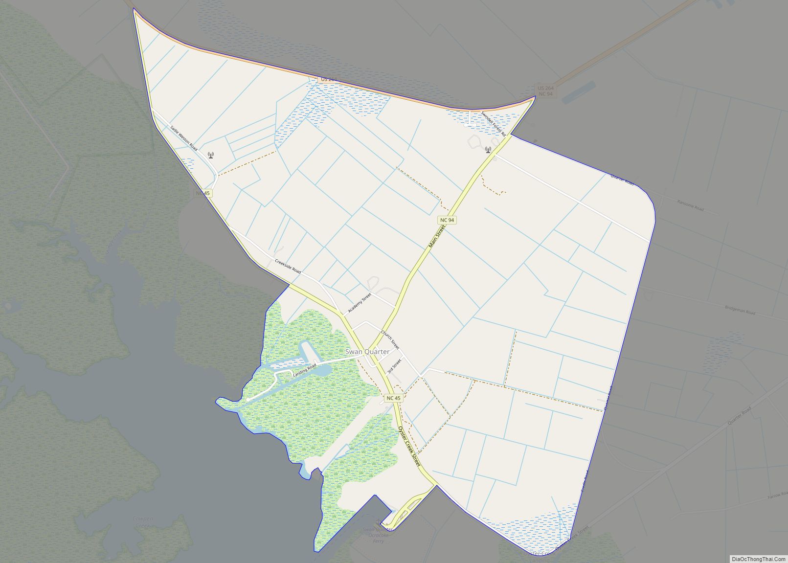
No bridges connect Ocracoke Island to the mainland, though the main road across the island is part of North Carolina Highway 12, which uses a series of ferries to connect to Hatteras Island, to Cedar Island, and to the mainland at Swan Quarter. The economy of the island is driven by tourism and commercial fishing. A unique dialect of English, known colloquially as the Hoi Toider accent, is spoken in Ocracoke, though among younger residents it is being replaced by more standard dialects of General American. Ocracoke Island was the location of the pirate Blackbeard’s death in November 1718. Though it saw no direct military action, Ocracoke was the site of a Confederate fort during the U.S. Civil War as well as several naval battles that occurred off the coast of the island during World War II; the remains of British sailors killed during these engagements occupy a small cemetery on the island.
Being so far out in the Atlantic Ocean, Ocracoke Island is frequently in the path of tropical cyclones, notably Hurricane Dorian in 2019, which destroyed approximately 1,000 feet (300 m) of pavement along NC 12.
| Name: | Ocracoke CDP |
|---|---|
| LSAD Code: | 57 |
| LSAD Description: | CDP (suffix) |
| State: | North Carolina |
| County: | Hyde County |
| Elevation: | 3 ft (1 m) |
| Total Area: | 9.62 sq mi (24.91 km²) |
| Land Area: | 8.60 sq mi (22.27 km²) |
| Water Area: | 1.02 sq mi (2.64 km²) |
| Total Population: | 797 |
| Population Density: | 92.69/sq mi (35.79/km²) |
| ZIP code: | 27960 |
| Area code: | 252 |
| FIPS code: | 3748740 |
| GNISfeature ID: | 1021718 |
| Website: | www.visitocracokenc.com |
Online Interactive Map
Click on ![]() to view map in "full screen" mode.
to view map in "full screen" mode.
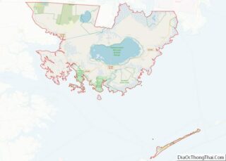
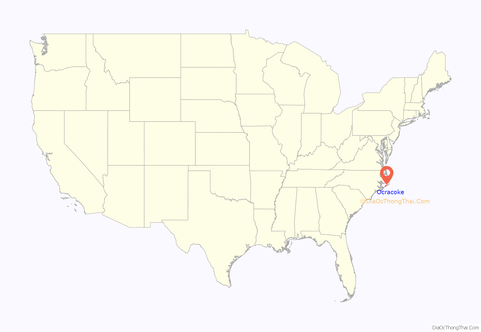
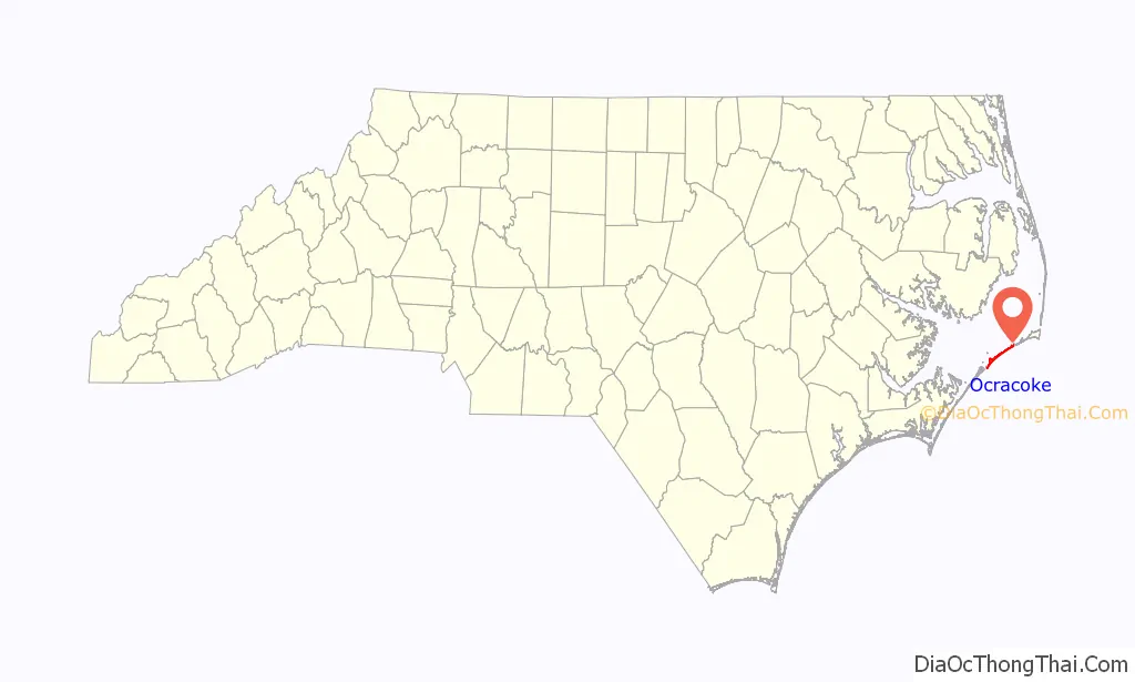
Ocracoke location map. Where is Ocracoke CDP?
History
The Outer Banks area was occasionally visited by Algonquian-speaking Indians but was never permanently settled. Ocracoke was called Wokokkon and was used as a subsistence hunting and fishing ground for the Hatterask Indians, a Croatoan people. “Yaupon tea” or “black drink” was made from the dried leaves of the indigenous yaupon, a native holly, and was used ceremonially by the Indians in the area. Italian explorer Giovanni da Verrazzano described the area in detail in 1524. He was unable to navigate the shallow inlets leading into Pamlico Sound.
In 1585, Sir Walter Raleigh’s ship the Tiger ran aground on a sand bar in Ocracoke Inlet and was forced to land on the island for repairs. English colonists attempted a settlement at Roanoke Island in the late 16th century, but it failed. This effectively halted European settlement in the area until 1663, when the Carolina Colony was chartered by King Charles II. However, remote Ocracoke Island was not permanently settled until 1750, being a pirate haven at times before then. It was a favorite anchorage of Edward Teach, better known as the pirate Blackbeard. He was killed on the island in a fierce battle with troops from Virginia on November 22, 1718. The grounds of what is now the Springer’s Point Nature Preserve were said to be his hideout.
The state assembly established Pilot Town in 1715. Throughout the mid-to-late 18th century, the island was home to a number of especially skilled schooner pilots who could get smaller ships through the inlet to Pamlico Sound. As population increased on the mainland, demand increased for shipment of goods from ocean-going vessels. Warehouses were built to hold goods off-loaded from larger ships offshore and then loaded onto smaller schooners to be delivered to plantations and towns along the mainland rivers.
By the late 19th century, the shipping business was gone, and the United States Life-Saving Service became a major source of steady income for local men. Fishing became more important to the livelihood of the area, including charters for tourists.
The Ocracoke Historic District, Ocracoke Light Station, and Salter-Battle Hunting and Fishing Lodge are listed on the National Register of Historic Places. Major hurricanes struck the island in August and September 1933, September 1944, and August 1949. The first-person accounts of these storms were recorded on the walls of the “Hurricane House”.
Ocracoke continues to suffer frequent storm damage, including the recent Hurricane Dorian in 2019, which destroyed approximately 1,000 feet (300 m) of pavement along NC 12. Afterwards, Ocracoke Island was closed to visitors for contractors to repair the road and dune line. Normal access was restored as of December 5, 2019.
The island population has experienced significant and steady growth, with new business permits being issued and the construction of new housing.
Fort Ocracoke
Fort Ocracoke, a Confederate fortification constructed at the beginning of the American Civil War, was situated on Beacon Island in Ocracoke Inlet, two miles to the west-southwest of Ocracoke village. The octagon-shaped fort was built on a previous War of 1812 site. At one point nearly 500 Confederate troops were stationed in and around Ocracoke and the fort. The Confederates abandoned and partially destroyed the fort in August 1861 after Union victories on nearby Hatteras Island. Union forces razed it a month later on September 17, 1861. Beacon Island and the fort subsided beneath the waves of the inlet after the 1933 hurricanes that struck the area. The remnants of Fort Ocracoke were relocated and identified in 1998 by the Surface Interval Diving Company.
Energy modernization project
In May 2021, Ocracoke was one of 11 communities (along with nearby Nags Head, North Carolina) chosen by the United States Department of Energy to participate in the Energy Transitions Initiative Partnership Project, a program to provide federal aid for remote communities to modernize their electric infrastructure and resiliency through natural disasters and outages. Ocracoke’s grant is used to analyze the possibility of electrifying its ferry fleet. An electrified ferry fleet would increase hurricane evacuation access while decreasing reliance on fossil fuels.
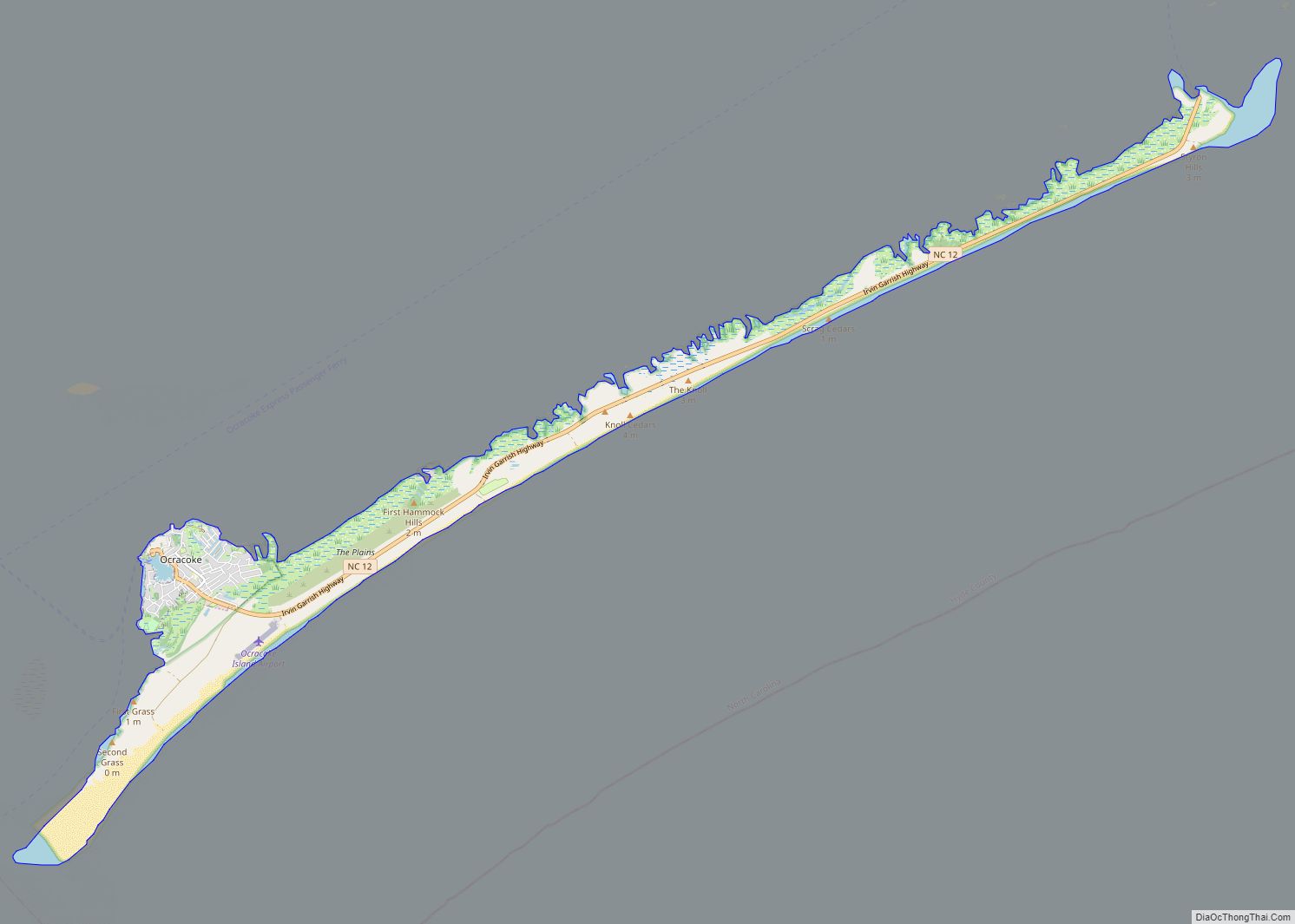
Ocracoke Road Map
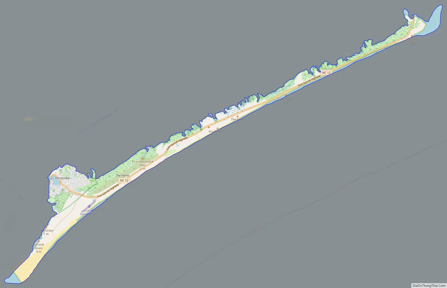
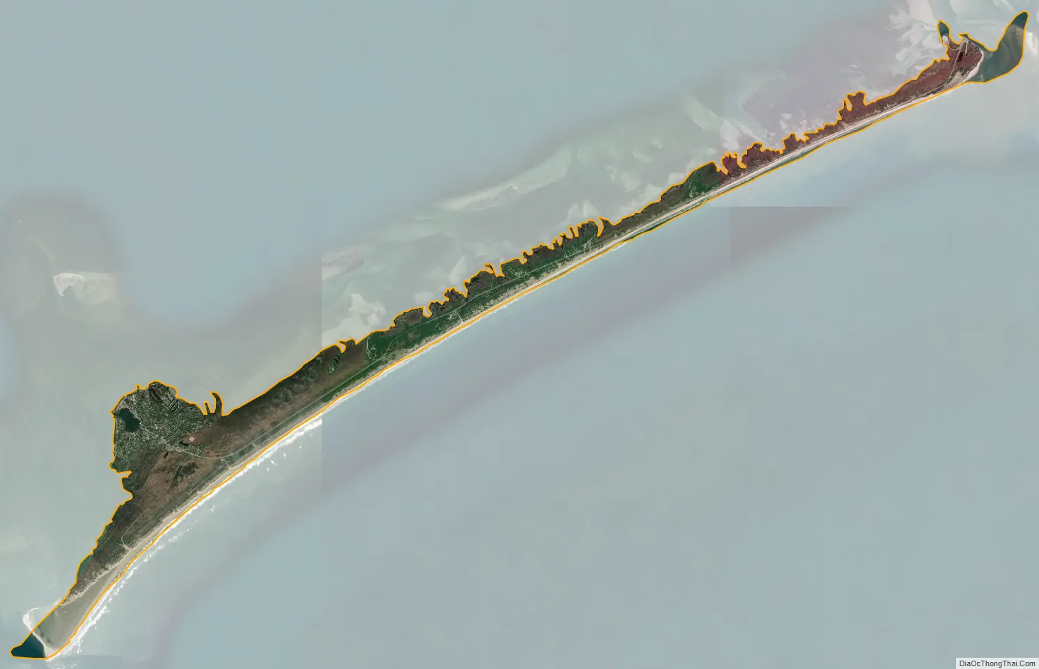
Ocracoke city Satellite Map
Geography
The island of Ocracoke is a part of the Outer Banks of North Carolina. At various times throughout recorded history the barrier island now known as Ocracoke has been part of Hatteras Island. The “Old Hatteras Inlet” opened prior to 1657 south of the current inlet separating Ocracoke from Hatteras, but closed around 1764 causing the islands to be reconnected. Ocracoke remained connected to Hatteras until Wells Creek Inlet opened in the 1840s and later closed. The modern “Hatteras Inlet” that separates the two islands was formed on September 7, 1846 by a violent gale. This massive storm, known in Cuba as 1846 Havana hurricane and along the East Coast of the United States as the Great Gale of 1846, was the same storm that opened Oregon Inlet.
It is one of the most remote islands in the Outer Banks, as it can only be reached by one of three public ferries (two of which are toll ferries), private boat, or private plane. Other than the village of Ocracoke and a few other areas (a ferry terminal, a pony pen, a small runway), the entire island is part of the Cape Hatteras National Seashore.
The village of Ocracoke is located around a small sheltered harbor called Silver Lake, with a second smaller residential area built around a series of man-made canals called Oyster Creek. The village is located at the widest point of the island, protected from the Atlantic Ocean by sand dunes and a salt marsh. The average height of the island is less than five feet (1.5 m) above sea level, and many of the buildings on the island are built on pilings to lift them off the ground. Flooding is a risk during both hurricanes and large storms. Ocracoke Light is situated near Silver Lake and has remained in continuous operation since 1823.
The island is home to a British cemetery. During World War II, German submarines sank several British ships, including HMT Bedfordshire, and the bodies of British sailors were washed ashore. They were buried in a cemetery on the island. A lease for the 2,290-square-foot (213 m) plot, where a British flag flies at all times, was given to the Commonwealth War Graves Commission for as long as the land remained a cemetery, and the small site officially became a British cemetery. The United States Coast Guard station on Ocracoke Island takes care of the property. A memorial ceremony is held each year in May.
Ocracoke village is located at 35°6′46″N 75°58′33″W / 35.11278°N 75.97583°W / 35.11278; -75.97583 (35.112687, -75.975895). The United States Census Bureau counts the entire island as a census-designated place (CDP), with a total area of 9.6 square miles (24.9 km), of which 8.6 square miles (22.3 km) of the area is land, and 1.0 square mile (2.6 km), or 10.58%, is water.
See also
Map of North Carolina State and its subdivision:- Alamance
- Alexander
- Alleghany
- Anson
- Ashe
- Avery
- Beaufort
- Bertie
- Bladen
- Brunswick
- Buncombe
- Burke
- Cabarrus
- Caldwell
- Camden
- Carteret
- Caswell
- Catawba
- Chatham
- Cherokee
- Chowan
- Clay
- Cleveland
- Columbus
- Craven
- Cumberland
- Currituck
- Dare
- Davidson
- Davie
- Duplin
- Durham
- Edgecombe
- Forsyth
- Franklin
- Gaston
- Gates
- Graham
- Granville
- Greene
- Guilford
- Halifax
- Harnett
- Haywood
- Henderson
- Hertford
- Hoke
- Hyde
- Iredell
- Jackson
- Johnston
- Jones
- Lee
- Lenoir
- Lincoln
- Macon
- Madison
- Martin
- McDowell
- Mecklenburg
- Mitchell
- Montgomery
- Moore
- Nash
- New Hanover
- Northampton
- Onslow
- Orange
- Pamlico
- Pasquotank
- Pender
- Perquimans
- Person
- Pitt
- Polk
- Randolph
- Richmond
- Robeson
- Rockingham
- Rowan
- Rutherford
- Sampson
- Scotland
- Stanly
- Stokes
- Surry
- Swain
- Transylvania
- Tyrrell
- Union
- Vance
- Wake
- Warren
- Washington
- Watauga
- Wayne
- Wilkes
- Wilson
- Yadkin
- Yancey
- Alabama
- Alaska
- Arizona
- Arkansas
- California
- Colorado
- Connecticut
- Delaware
- District of Columbia
- Florida
- Georgia
- Hawaii
- Idaho
- Illinois
- Indiana
- Iowa
- Kansas
- Kentucky
- Louisiana
- Maine
- Maryland
- Massachusetts
- Michigan
- Minnesota
- Mississippi
- Missouri
- Montana
- Nebraska
- Nevada
- New Hampshire
- New Jersey
- New Mexico
- New York
- North Carolina
- North Dakota
- Ohio
- Oklahoma
- Oregon
- Pennsylvania
- Rhode Island
- South Carolina
- South Dakota
- Tennessee
- Texas
- Utah
- Vermont
- Virginia
- Washington
- West Virginia
- Wisconsin
- Wyoming