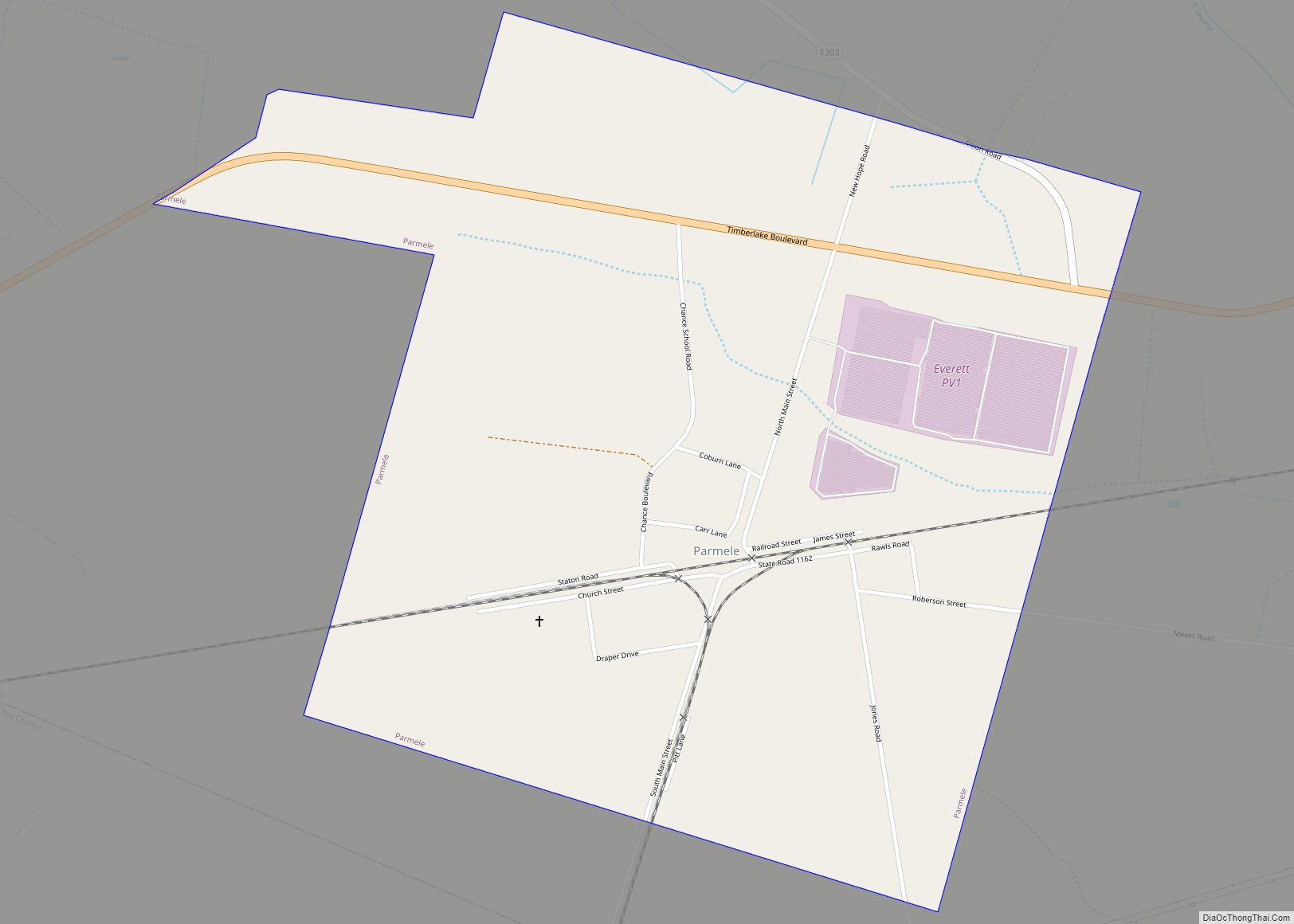
Parmele is a town in Martin County, North Carolina, United States. The population was 278 at the 2010 census.
| Name: | Parmele town |
|---|---|
| LSAD Code: | 43 |
| LSAD Description: | town (suffix) |
| State: | North Carolina |
| County: | Martin County |
| Incorporated: | February 14, 1893 |
| Elevation: | 75 ft (23 m) |
| Total Area: | 1.16 sq mi (3.00 km²) |
| Land Area: | 1.16 sq mi (3.00 km²) |
| Water Area: | 0.00 sq mi (0.00 km²) |
| Total Population: | 243 |
| Population Density: | 209.84/sq mi (81.01/km²) |
| ZIP code: | 27861 |
| Area code: | 252 |
| FIPS code: | 3750540 |
| GNISfeature ID: | 0991886 |
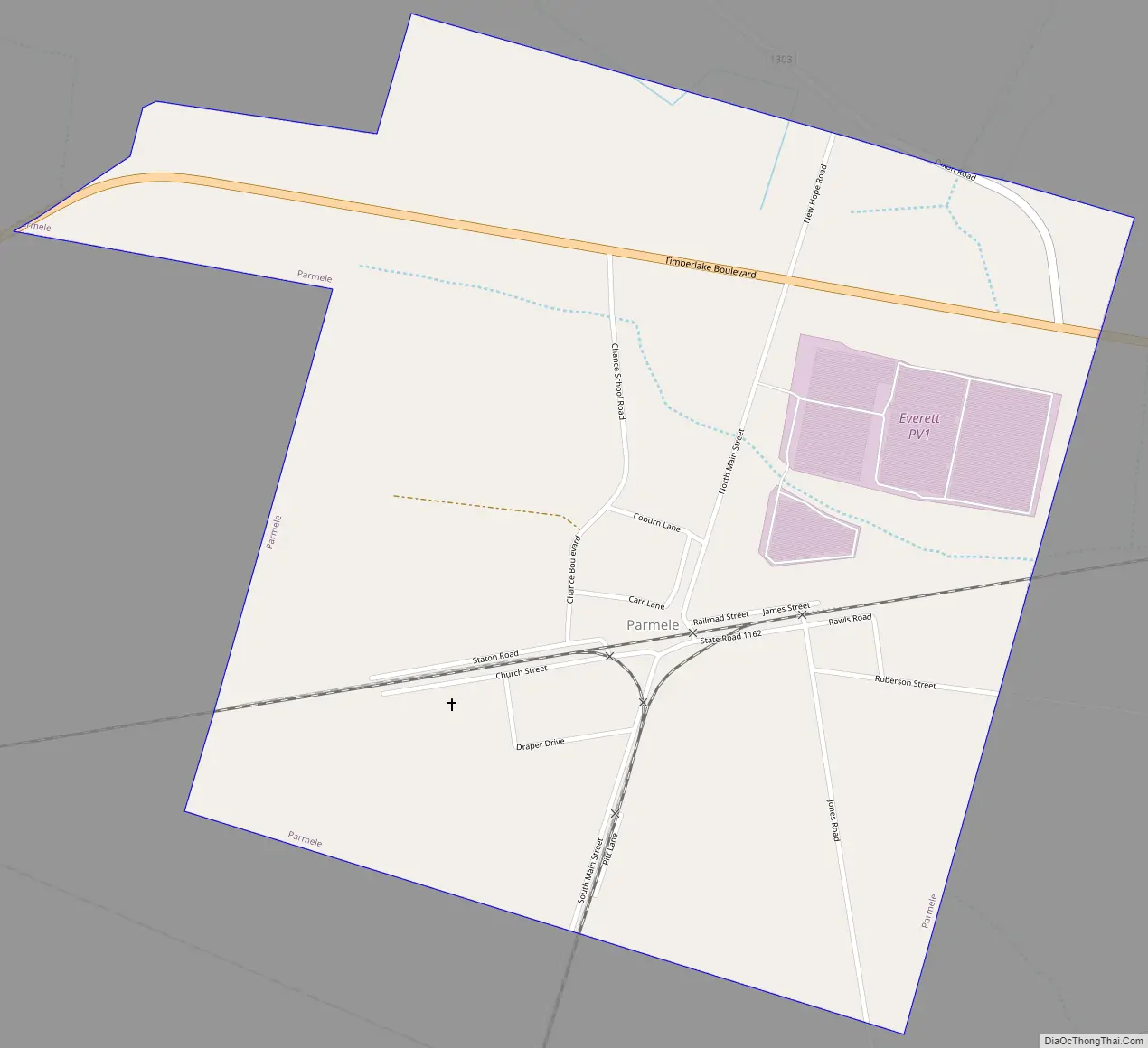
Online Interactive Map
Click on ![]() to view map in "full screen" mode.
to view map in "full screen" mode.
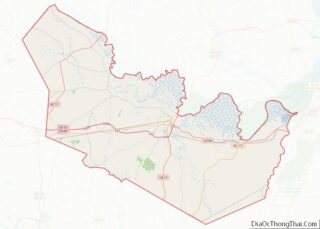
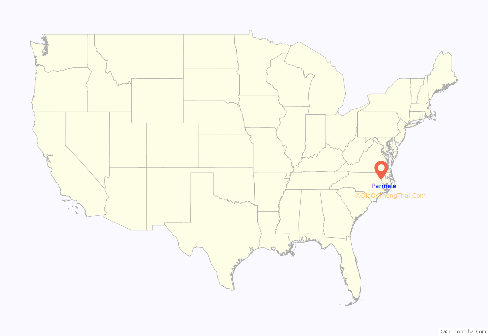
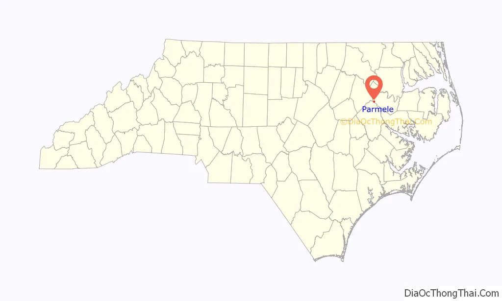
Parmele location map. Where is Parmele town?
History
The town was settled in 1890 when the Wilmington and Weldon Railroad was built through the area to provide transportation from nearby lumber mills. It was named for local lumber mill owner E. A. Parmele. Following the construction of the Albemarle and Raleigh Railroad, the population rapidly grew and it was incorporated as a town in 1893 by the North Carolina General Assembly. A fire that burned through much of the town on April 1, 1904, destroying many businesses and led to the decline of nearby lumber mills. In 1909, William C. Chance founded the Higgs Industrial School for African Americans (also known as the Parmele Industrial Institute) which at its peak occupied a six-building campus and merged with the town’s public school. The school was closed following a fire at its main building in 1954.
Parmele Road Map
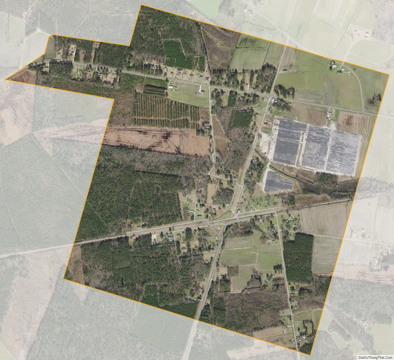
Parmele city Satellite Map
Geography
Parmele is located at 35°49′2″N 77°18′44″W / 35.81722°N 77.31222°W / 35.81722; -77.31222 (35.817123, -77.312220).
According to the United States Census Bureau, it has a total area of 1.2 square miles (3.1 km), all of it land.
See also
Map of North Carolina State and its subdivision:- Alamance
- Alexander
- Alleghany
- Anson
- Ashe
- Avery
- Beaufort
- Bertie
- Bladen
- Brunswick
- Buncombe
- Burke
- Cabarrus
- Caldwell
- Camden
- Carteret
- Caswell
- Catawba
- Chatham
- Cherokee
- Chowan
- Clay
- Cleveland
- Columbus
- Craven
- Cumberland
- Currituck
- Dare
- Davidson
- Davie
- Duplin
- Durham
- Edgecombe
- Forsyth
- Franklin
- Gaston
- Gates
- Graham
- Granville
- Greene
- Guilford
- Halifax
- Harnett
- Haywood
- Henderson
- Hertford
- Hoke
- Hyde
- Iredell
- Jackson
- Johnston
- Jones
- Lee
- Lenoir
- Lincoln
- Macon
- Madison
- Martin
- McDowell
- Mecklenburg
- Mitchell
- Montgomery
- Moore
- Nash
- New Hanover
- Northampton
- Onslow
- Orange
- Pamlico
- Pasquotank
- Pender
- Perquimans
- Person
- Pitt
- Polk
- Randolph
- Richmond
- Robeson
- Rockingham
- Rowan
- Rutherford
- Sampson
- Scotland
- Stanly
- Stokes
- Surry
- Swain
- Transylvania
- Tyrrell
- Union
- Vance
- Wake
- Warren
- Washington
- Watauga
- Wayne
- Wilkes
- Wilson
- Yadkin
- Yancey
- Alabama
- Alaska
- Arizona
- Arkansas
- California
- Colorado
- Connecticut
- Delaware
- District of Columbia
- Florida
- Georgia
- Hawaii
- Idaho
- Illinois
- Indiana
- Iowa
- Kansas
- Kentucky
- Louisiana
- Maine
- Maryland
- Massachusetts
- Michigan
- Minnesota
- Mississippi
- Missouri
- Montana
- Nebraska
- Nevada
- New Hampshire
- New Jersey
- New Mexico
- New York
- North Carolina
- North Dakota
- Ohio
- Oklahoma
- Oregon
- Pennsylvania
- Rhode Island
- South Carolina
- South Dakota
- Tennessee
- Texas
- Utah
- Vermont
- Virginia
- Washington
- West Virginia
- Wisconsin
- Wyoming