Polkton is a town in Anson County, North Carolina, United States. As of the 2020 census, the town population was 1,881 down from 3,375 in 2010.
The town is named after its founder, Leonidas L. Polk.
| Name: | Polkton town |
|---|---|
| LSAD Code: | 43 |
| LSAD Description: | town (suffix) |
| State: | North Carolina |
| County: | Anson County |
| Incorporated: | 1875 |
| Elevation: | 335 ft (102 m) |
| Total Area: | 3.05 sq mi (7.91 km²) |
| Land Area: | 3.05 sq mi (7.91 km²) |
| Water Area: | 0.00 sq mi (0.00 km²) |
| Total Population: | 2,250 |
| Population Density: | 736.74/sq mi (284.49/km²) |
| ZIP code: | 28135 |
| Area code: | 704 |
| FIPS code: | 3753140 |
| GNISfeature ID: | 0992644 |
| Website: | www.townofpolkton.org |
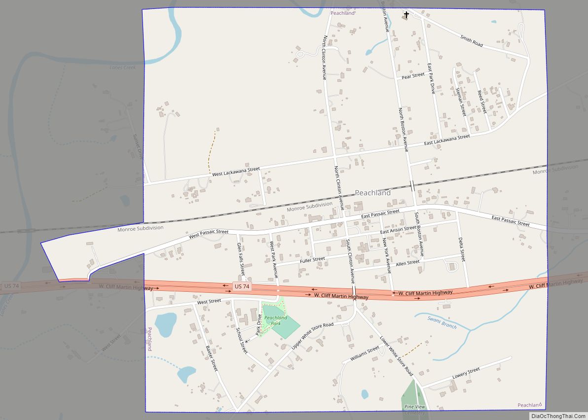
Online Interactive Map
Click on ![]() to view map in "full screen" mode.
to view map in "full screen" mode.
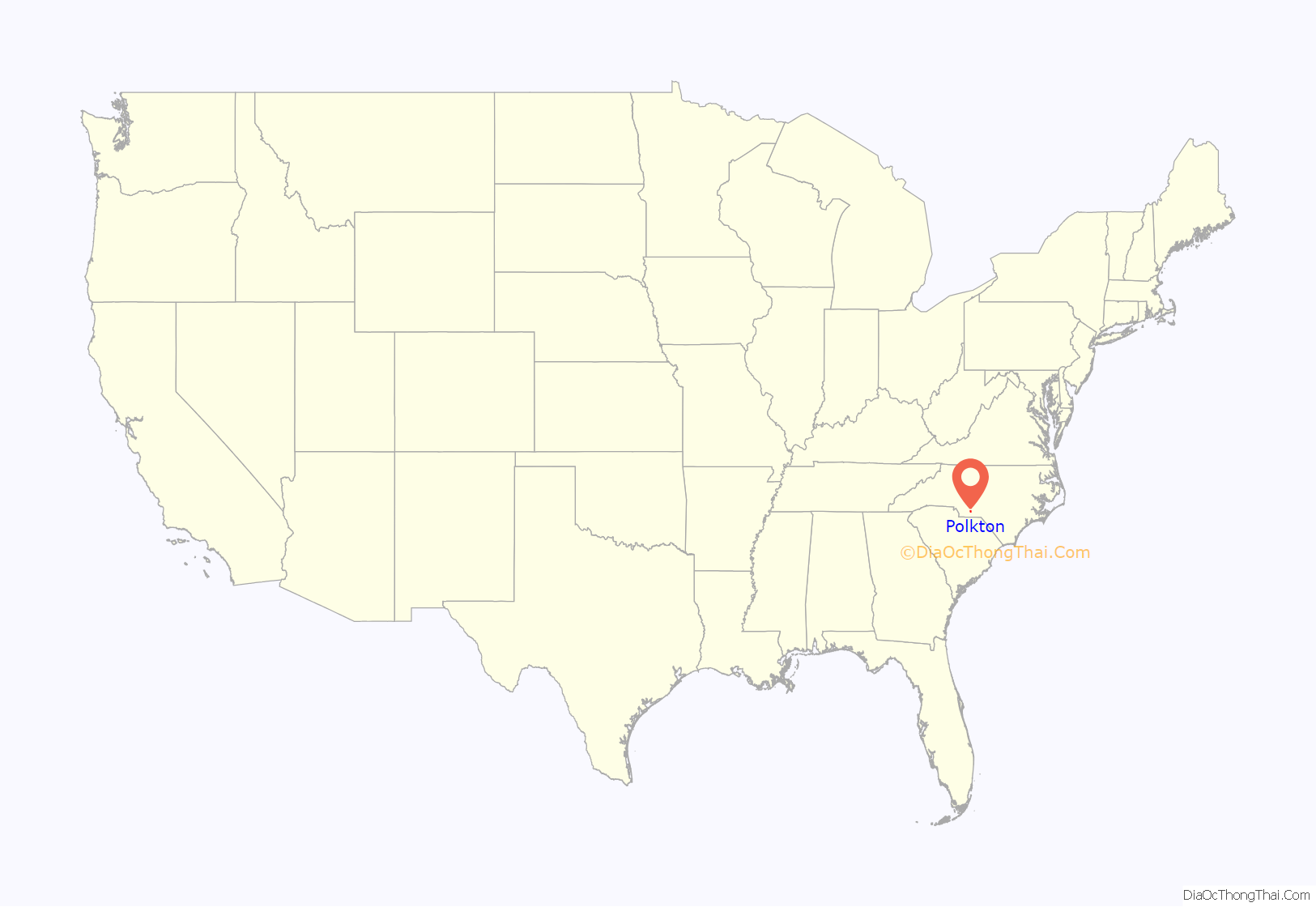
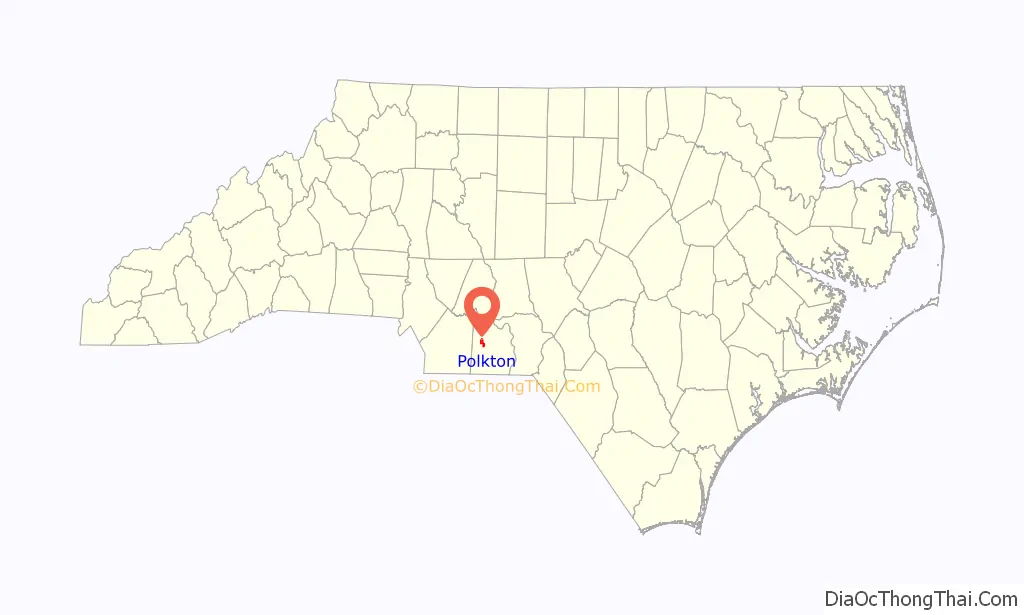
Polkton location map. Where is Polkton town?
History
Polkton was founded by Leonidas Lafayette Polk, and incorporated in 1875. The Billy Horne Farm was listed on the National Register of Historic Places in 1989.
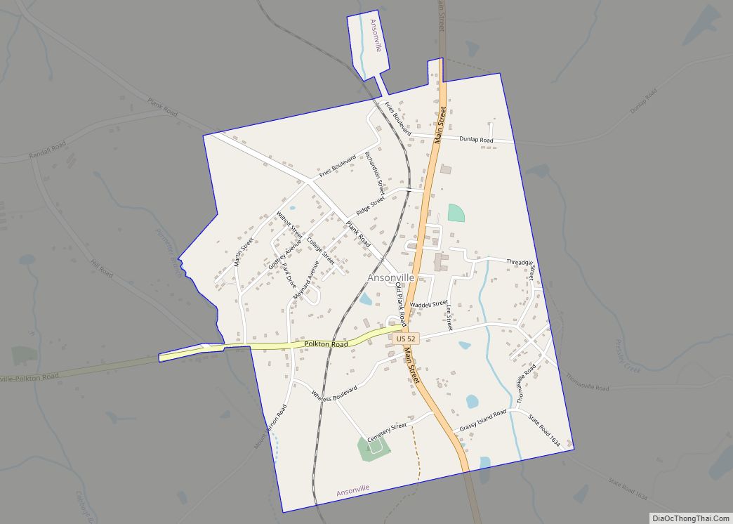
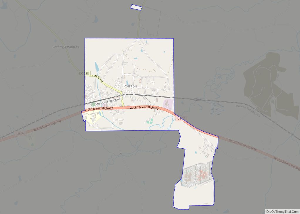
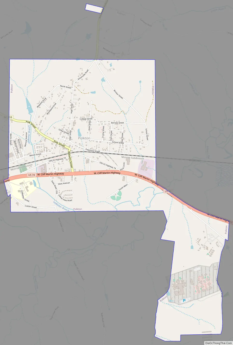
Polkton Road Map
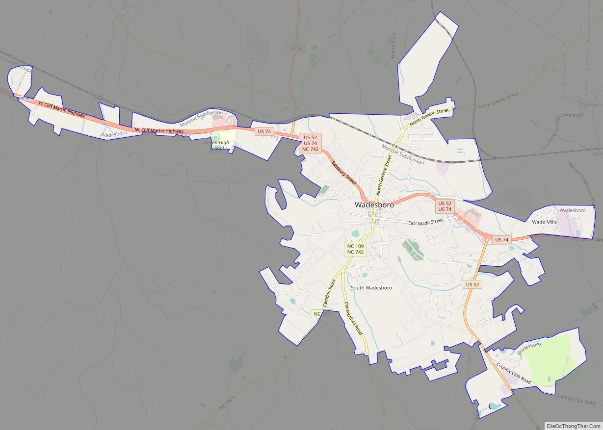
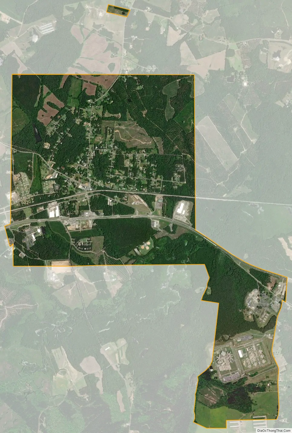
Polkton city Satellite Map
Geography
Polkton is located at 35°0′14″N 80°12′5″W / 35.00389°N 80.20139°W / 35.00389; -80.20139 (35.003888, -80.201527).
According to the United States Census Bureau, the town has a total area of 3.2 square miles (8.2 km), all land.
See also
Map of North Carolina State and its subdivision:- Alamance
- Alexander
- Alleghany
- Anson
- Ashe
- Avery
- Beaufort
- Bertie
- Bladen
- Brunswick
- Buncombe
- Burke
- Cabarrus
- Caldwell
- Camden
- Carteret
- Caswell
- Catawba
- Chatham
- Cherokee
- Chowan
- Clay
- Cleveland
- Columbus
- Craven
- Cumberland
- Currituck
- Dare
- Davidson
- Davie
- Duplin
- Durham
- Edgecombe
- Forsyth
- Franklin
- Gaston
- Gates
- Graham
- Granville
- Greene
- Guilford
- Halifax
- Harnett
- Haywood
- Henderson
- Hertford
- Hoke
- Hyde
- Iredell
- Jackson
- Johnston
- Jones
- Lee
- Lenoir
- Lincoln
- Macon
- Madison
- Martin
- McDowell
- Mecklenburg
- Mitchell
- Montgomery
- Moore
- Nash
- New Hanover
- Northampton
- Onslow
- Orange
- Pamlico
- Pasquotank
- Pender
- Perquimans
- Person
- Pitt
- Polk
- Randolph
- Richmond
- Robeson
- Rockingham
- Rowan
- Rutherford
- Sampson
- Scotland
- Stanly
- Stokes
- Surry
- Swain
- Transylvania
- Tyrrell
- Union
- Vance
- Wake
- Warren
- Washington
- Watauga
- Wayne
- Wilkes
- Wilson
- Yadkin
- Yancey
- Alabama
- Alaska
- Arizona
- Arkansas
- California
- Colorado
- Connecticut
- Delaware
- District of Columbia
- Florida
- Georgia
- Hawaii
- Idaho
- Illinois
- Indiana
- Iowa
- Kansas
- Kentucky
- Louisiana
- Maine
- Maryland
- Massachusetts
- Michigan
- Minnesota
- Mississippi
- Missouri
- Montana
- Nebraska
- Nevada
- New Hampshire
- New Jersey
- New Mexico
- New York
- North Carolina
- North Dakota
- Ohio
- Oklahoma
- Oregon
- Pennsylvania
- Rhode Island
- South Carolina
- South Dakota
- Tennessee
- Texas
- Utah
- Vermont
- Virginia
- Washington
- West Virginia
- Wisconsin
- Wyoming