Pollocksville is a town in Jones County, North Carolina, United States. The population was 268 at the 2020 census. It is part of the New Bern, North Carolina Micropolitan Statistical Area. It is situated on US 17 and Highway 58.
| Name: | Pollocksville town |
|---|---|
| LSAD Code: | 43 |
| LSAD Description: | town (suffix) |
| State: | North Carolina |
| County: | Jones County |
| Elevation: | 16 ft (5 m) |
| Total Area: | 0.33 sq mi (0.86 km²) |
| Land Area: | 0.31 sq mi (0.81 km²) |
| Water Area: | 0.02 sq mi (0.04 km²) |
| Total Population: | 268 |
| Population Density: | 853.50/sq mi (329.54/km²) |
| ZIP code: | 28573 |
| Area code: | 252 |
| FIPS code: | 3753200 |
| GNISfeature ID: | 1014565 |
| Website: | townofpollocksville.com |
Online Interactive Map
Click on ![]() to view map in "full screen" mode.
to view map in "full screen" mode.
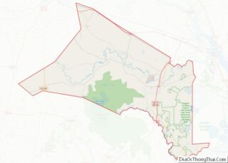
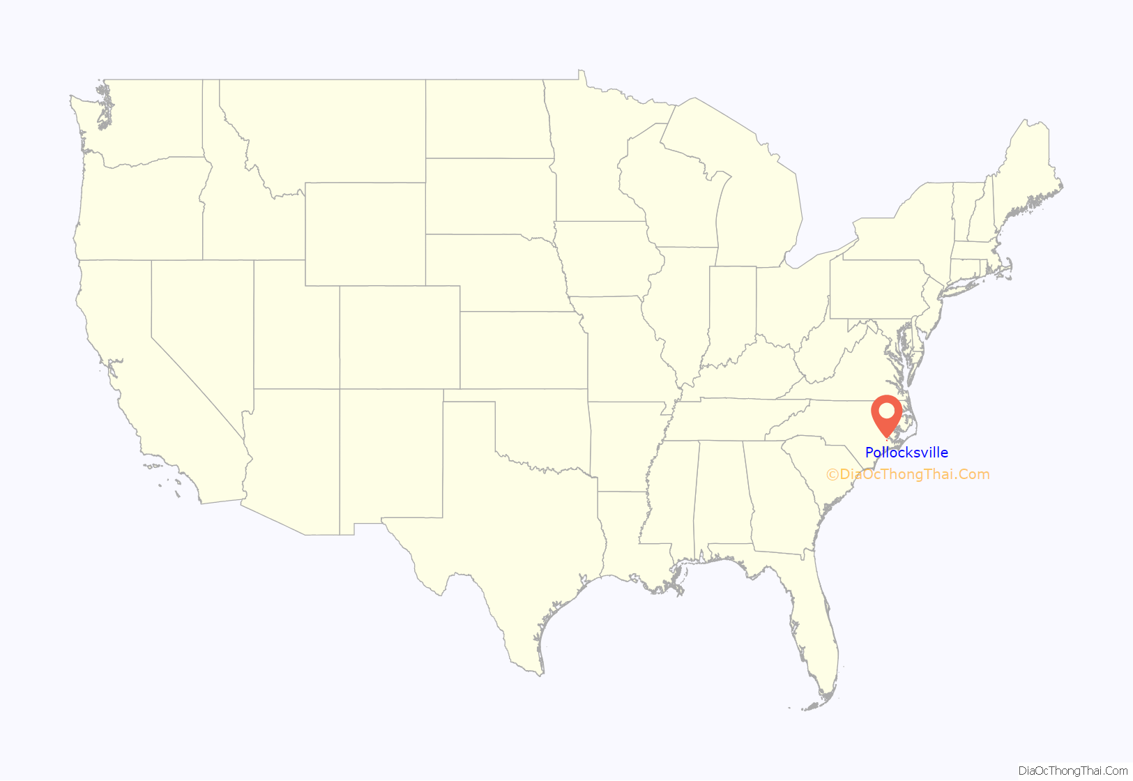
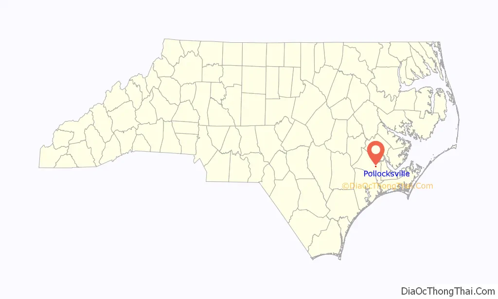
Pollocksville location map. Where is Pollocksville town?
History
The town derives its name from Thomas Pollock, a local landowner. The Bryan-Bell Farm, Foscue and Simmons Plantations, Foscue Plantation House, Bryan Lavender House, and Sanderson House are listed on the National Register of Historic Places.
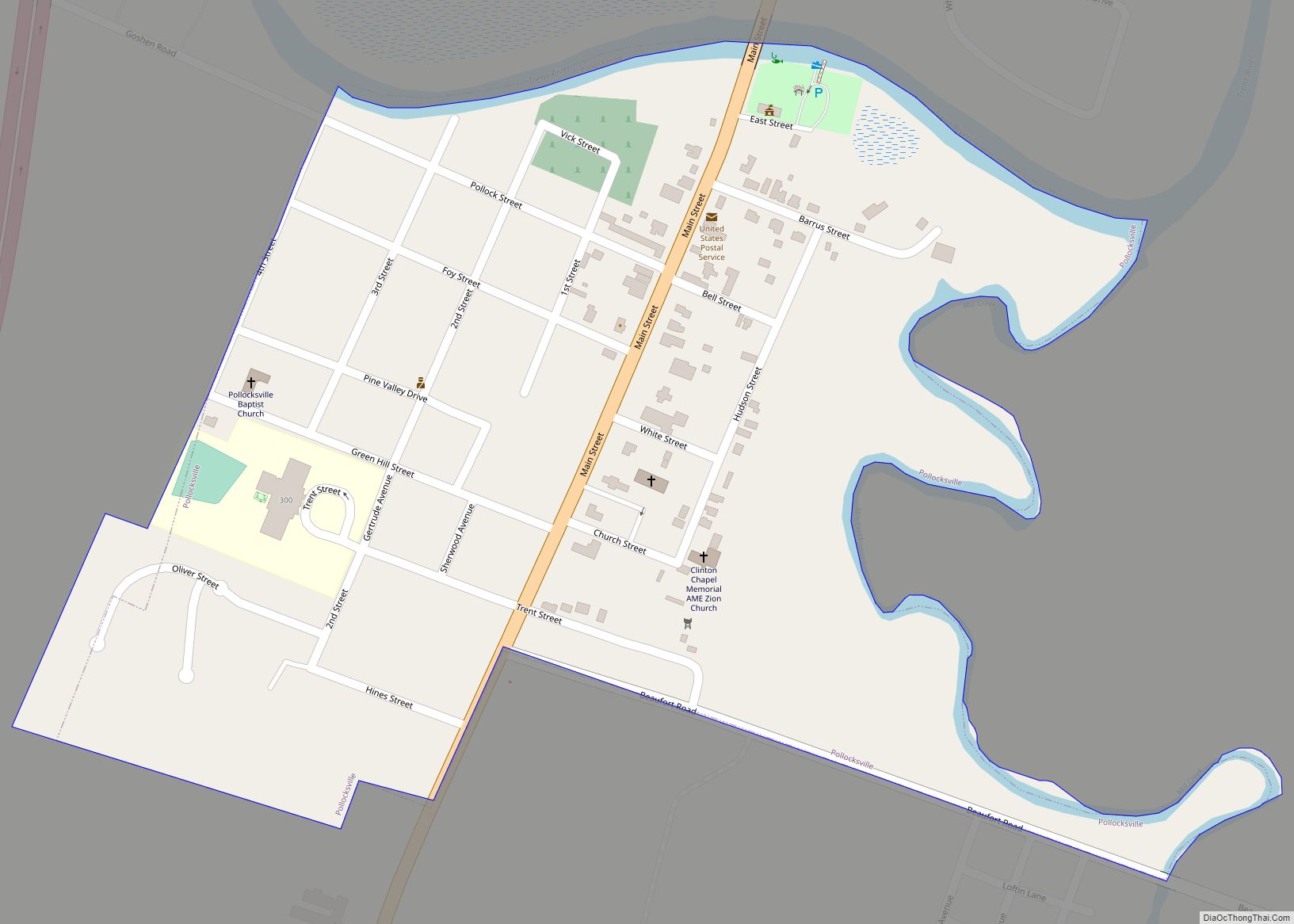
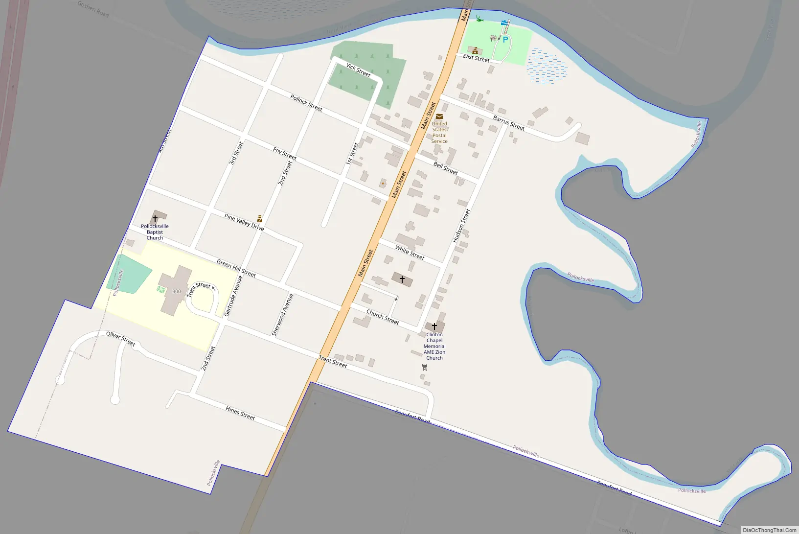
Pollocksville Road Map
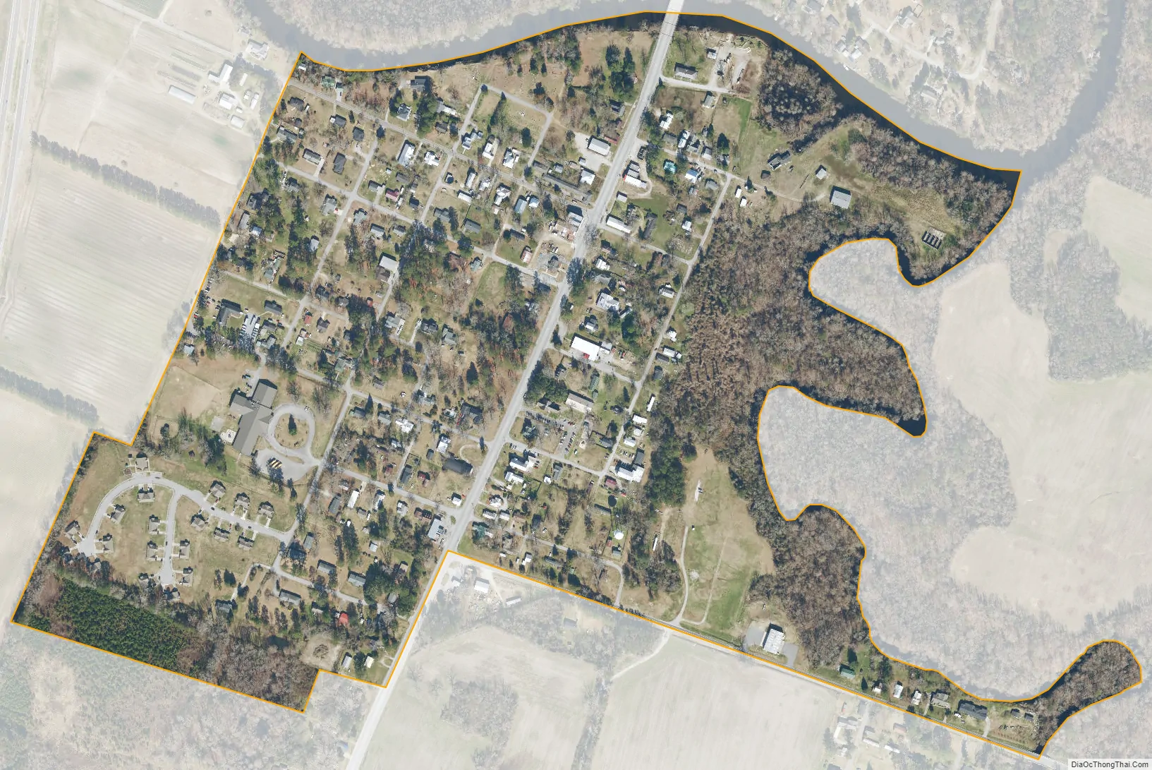
Pollocksville city Satellite Map
Geography
Pollocksville is located at 35°0′23″N 77°13′19″W / 35.00639°N 77.22194°W / 35.00639; -77.22194 (35.006313, -77.222030). According to the United States Census Bureau, the town has a total area of 0.3 square miles (0.78 km), all land. Mill Creek, a tributary to the Trent River, has its confluence here.
See also
Map of North Carolina State and its subdivision:- Alamance
- Alexander
- Alleghany
- Anson
- Ashe
- Avery
- Beaufort
- Bertie
- Bladen
- Brunswick
- Buncombe
- Burke
- Cabarrus
- Caldwell
- Camden
- Carteret
- Caswell
- Catawba
- Chatham
- Cherokee
- Chowan
- Clay
- Cleveland
- Columbus
- Craven
- Cumberland
- Currituck
- Dare
- Davidson
- Davie
- Duplin
- Durham
- Edgecombe
- Forsyth
- Franklin
- Gaston
- Gates
- Graham
- Granville
- Greene
- Guilford
- Halifax
- Harnett
- Haywood
- Henderson
- Hertford
- Hoke
- Hyde
- Iredell
- Jackson
- Johnston
- Jones
- Lee
- Lenoir
- Lincoln
- Macon
- Madison
- Martin
- McDowell
- Mecklenburg
- Mitchell
- Montgomery
- Moore
- Nash
- New Hanover
- Northampton
- Onslow
- Orange
- Pamlico
- Pasquotank
- Pender
- Perquimans
- Person
- Pitt
- Polk
- Randolph
- Richmond
- Robeson
- Rockingham
- Rowan
- Rutherford
- Sampson
- Scotland
- Stanly
- Stokes
- Surry
- Swain
- Transylvania
- Tyrrell
- Union
- Vance
- Wake
- Warren
- Washington
- Watauga
- Wayne
- Wilkes
- Wilson
- Yadkin
- Yancey
- Alabama
- Alaska
- Arizona
- Arkansas
- California
- Colorado
- Connecticut
- Delaware
- District of Columbia
- Florida
- Georgia
- Hawaii
- Idaho
- Illinois
- Indiana
- Iowa
- Kansas
- Kentucky
- Louisiana
- Maine
- Maryland
- Massachusetts
- Michigan
- Minnesota
- Mississippi
- Missouri
- Montana
- Nebraska
- Nevada
- New Hampshire
- New Jersey
- New Mexico
- New York
- North Carolina
- North Dakota
- Ohio
- Oklahoma
- Oregon
- Pennsylvania
- Rhode Island
- South Carolina
- South Dakota
- Tennessee
- Texas
- Utah
- Vermont
- Virginia
- Washington
- West Virginia
- Wisconsin
- Wyoming