Turkey is a town in Sampson County, North Carolina, United States. The population was 292 at the 2010 census.
| Name: | Turkey town |
|---|---|
| LSAD Code: | 43 |
| LSAD Description: | town (suffix) |
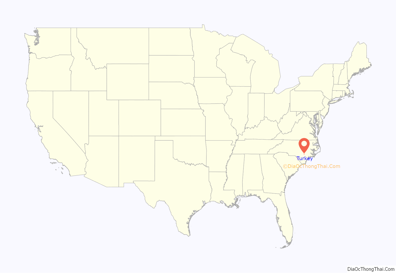
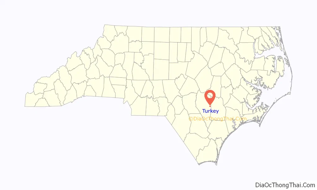
| State: | North Carolina |
| County: | Sampson County |
| Elevation: | 144 ft (44 m) |
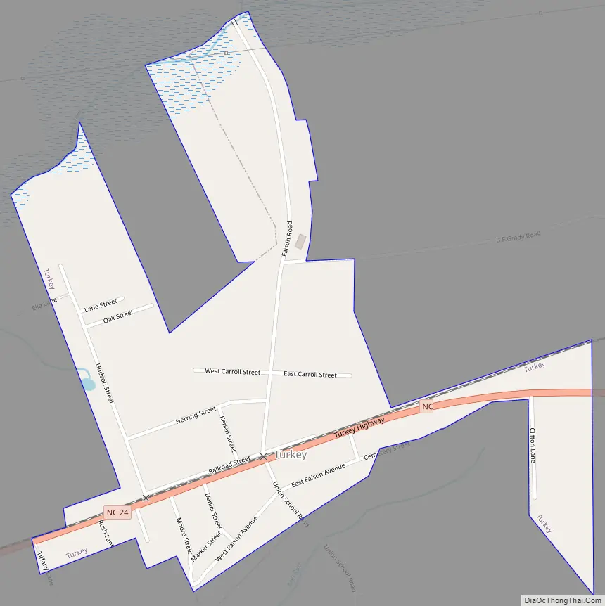
| Total Area: | 0.40 sq mi (1.03 km²) |
| Land Area: | 0.40 sq mi (1.03 km²) |
| Water Area: | 0.00 sq mi (0.00 km²) |
| Total Population: | 213 |
| Population Density: | 537.88/sq mi (207.42/km²) |
| ZIP code: | 28393 |
| FIPS code: | 3768740 |
| GNISfeature ID: | 1025759 |
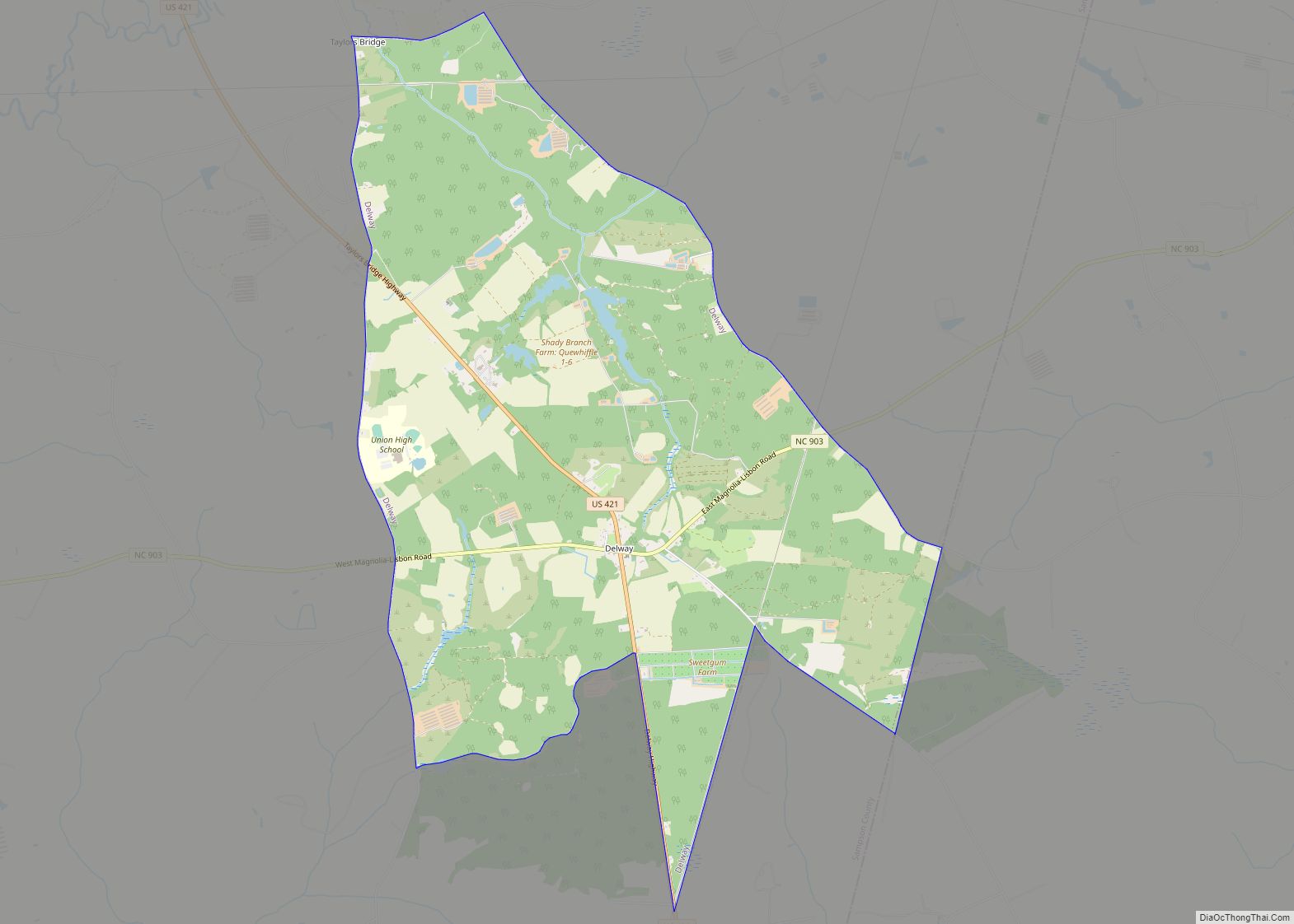
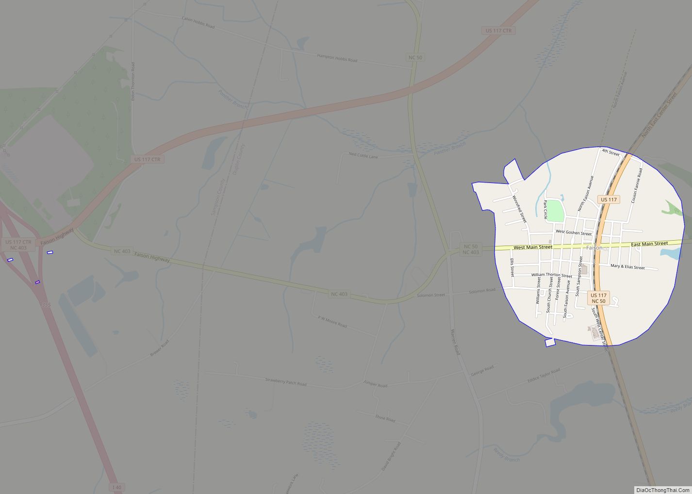
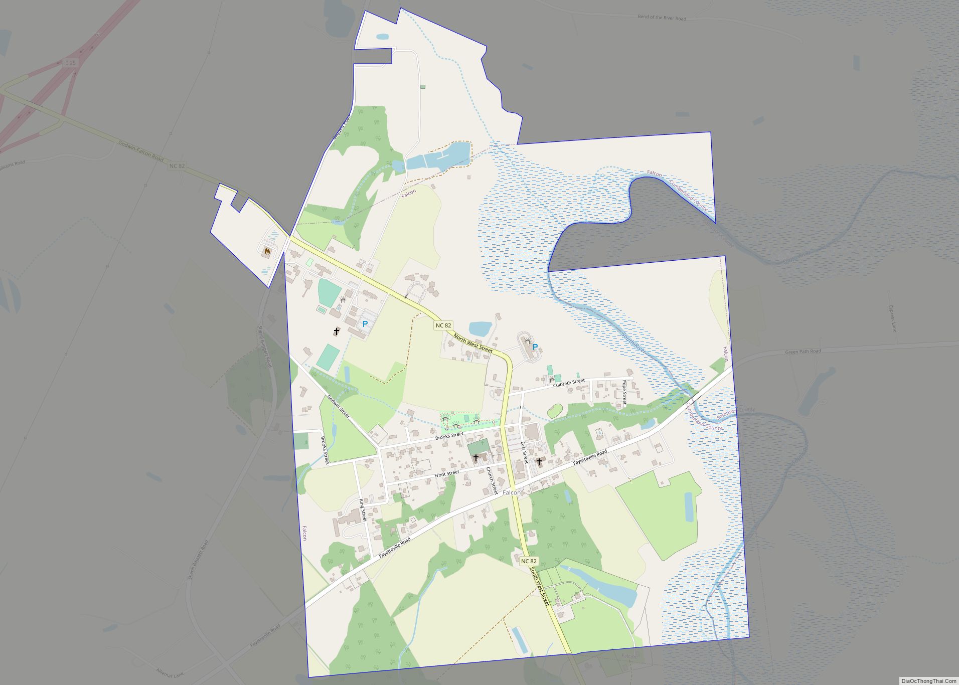
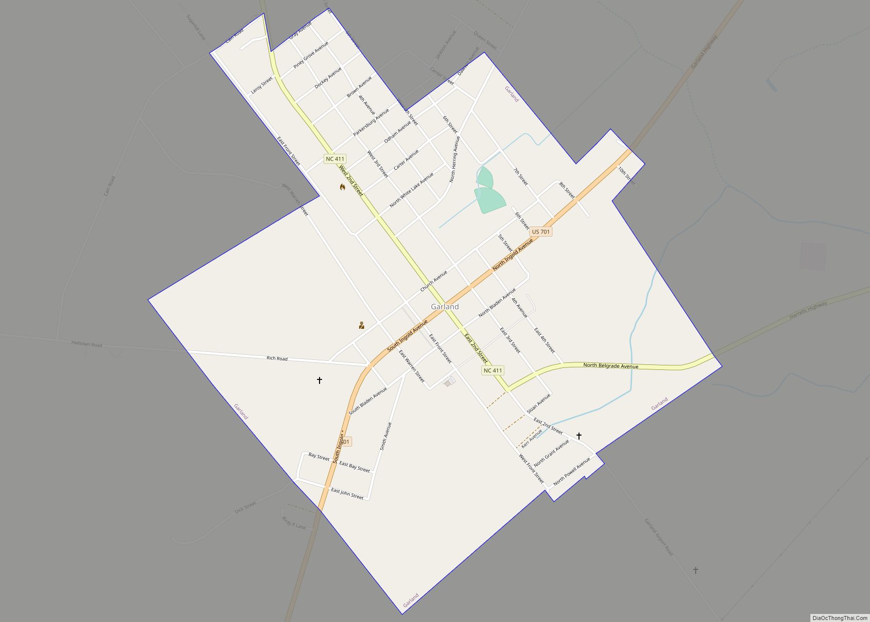
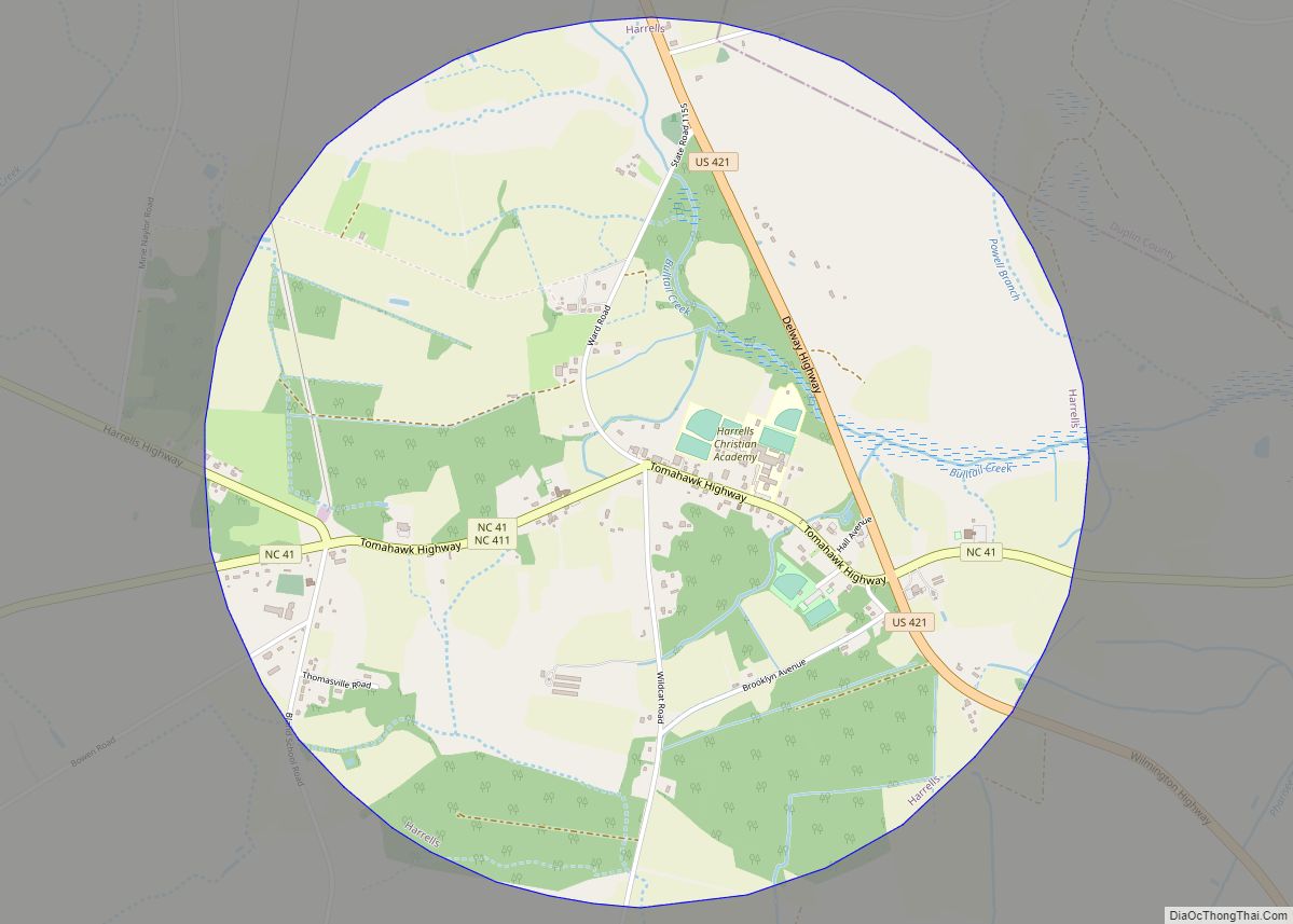
Online Interactive Map
Click on ![]() to view map in "full screen" mode.
to view map in "full screen" mode.
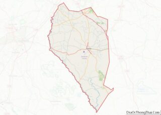
Turkey location map. Where is Turkey town?
History
The name of the town was once Springville. During the town’s early history, a large group of wild turkey moved into the area, and the people regarded that as a sign. The town’s post office sometimes has received mail intended for the Republic of Turkey. At one time, the post office received letters from stamp collectors asking for a Thanksgiving Day postmark.
Cherrydale and the Hollingsworth-Hines Farm were added to the National Register of Historic Places in 1986.
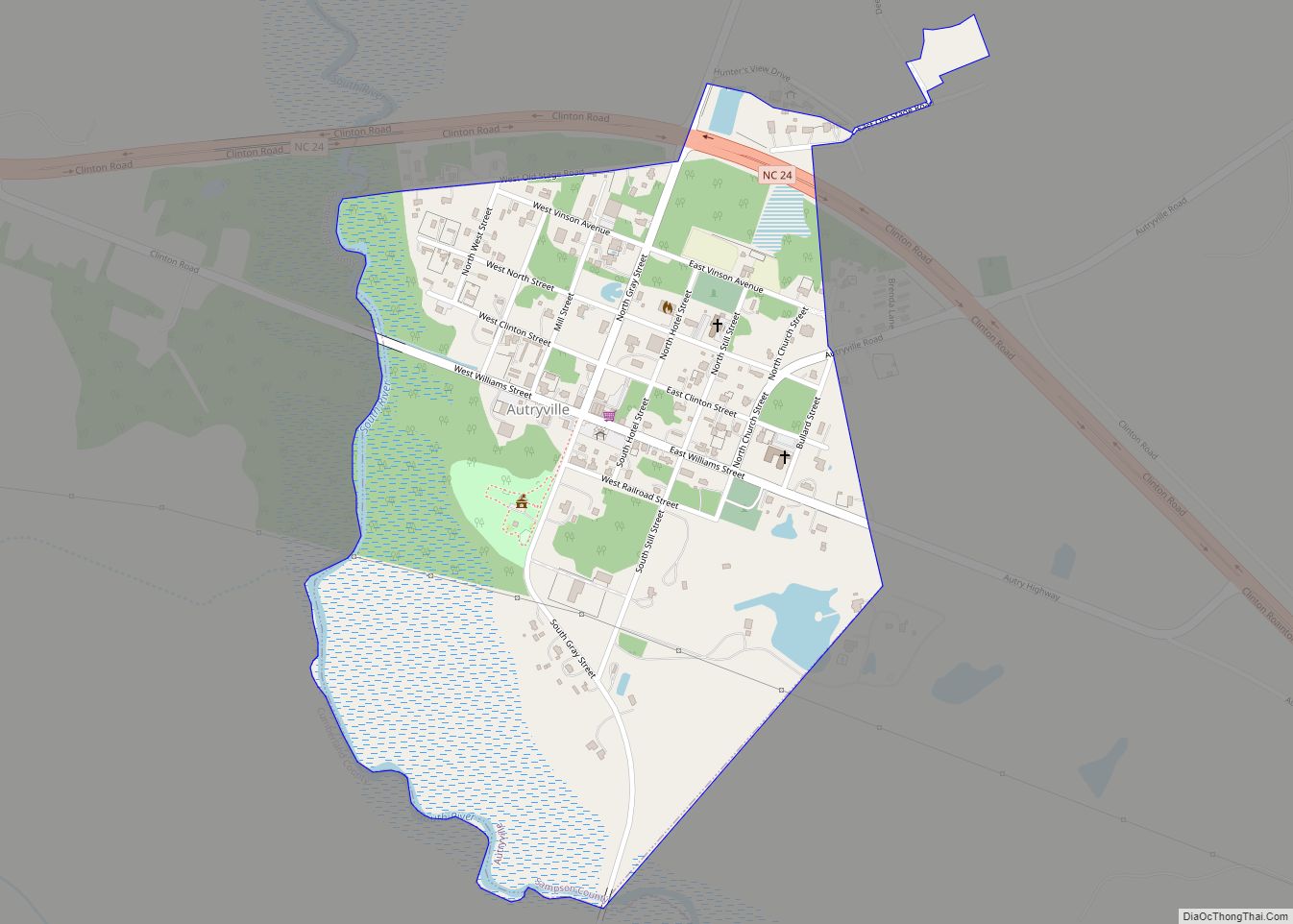
Turkey Road Map
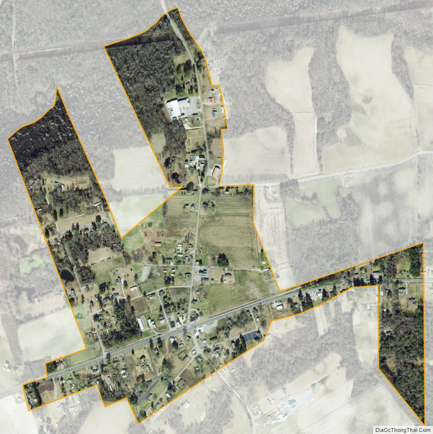
Turkey city Satellite Map
Geography
Turkey is located at 34°59′35″N 78°11′3″W / 34.99306°N 78.18417°W / 34.99306; -78.18417 (34.992954, -78.184245).
According to the United States Census Bureau, the town has a total area of 0.4 square mile (1.0 km), all land.
See also
Map of North Carolina State and its subdivision:- Alamance
- Alexander
- Alleghany
- Anson
- Ashe
- Avery
- Beaufort
- Bertie
- Bladen
- Brunswick
- Buncombe
- Burke
- Cabarrus
- Caldwell
- Camden
- Carteret
- Caswell
- Catawba
- Chatham
- Cherokee
- Chowan
- Clay
- Cleveland
- Columbus
- Craven
- Cumberland
- Currituck
- Dare
- Davidson
- Davie
- Duplin
- Durham
- Edgecombe
- Forsyth
- Franklin
- Gaston
- Gates
- Graham
- Granville
- Greene
- Guilford
- Halifax
- Harnett
- Haywood
- Henderson
- Hertford
- Hoke
- Hyde
- Iredell
- Jackson
- Johnston
- Jones
- Lee
- Lenoir
- Lincoln
- Macon
- Madison
- Martin
- McDowell
- Mecklenburg
- Mitchell
- Montgomery
- Moore
- Nash
- New Hanover
- Northampton
- Onslow
- Orange
- Pamlico
- Pasquotank
- Pender
- Perquimans
- Person
- Pitt
- Polk
- Randolph
- Richmond
- Robeson
- Rockingham
- Rowan
- Rutherford
- Sampson
- Scotland
- Stanly
- Stokes
- Surry
- Swain
- Transylvania
- Tyrrell
- Union
- Vance
- Wake
- Warren
- Washington
- Watauga
- Wayne
- Wilkes
- Wilson
- Yadkin
- Yancey
- Alabama
- Alaska
- Arizona
- Arkansas
- California
- Colorado
- Connecticut
- Delaware
- District of Columbia
- Florida
- Georgia
- Hawaii
- Idaho
- Illinois
- Indiana
- Iowa
- Kansas
- Kentucky
- Louisiana
- Maine
- Maryland
- Massachusetts
- Michigan
- Minnesota
- Mississippi
- Missouri
- Montana
- Nebraska
- Nevada
- New Hampshire
- New Jersey
- New Mexico
- New York
- North Carolina
- North Dakota
- Ohio
- Oklahoma
- Oregon
- Pennsylvania
- Rhode Island
- South Carolina
- South Dakota
- Tennessee
- Texas
- Utah
- Vermont
- Virginia
- Washington
- West Virginia
- Wisconsin
- Wyoming