West Jefferson is a town in Ashe County, North Carolina, United States. The population was 1,299 at the 2010 census.
| Name: | West Jefferson town |
|---|---|
| LSAD Code: | 43 |
| LSAD Description: | town (suffix) |
| State: | North Carolina |
| County: | Ashe County |
| Elevation: | 3,000 ft (908 m) |
| Total Area: | 2.15 sq mi (5.58 km²) |
| Land Area: | 2.15 sq mi (5.57 km²) |
| Water Area: | 0.00 sq mi (0.00 km²) |
| Total Population: | 1,279 |
| Population Density: | 594.33/sq mi (229.44/km²) |
| ZIP code: | 28694 |
| Area code: | 336 |
| FIPS code: | 3772540 |
| GNISfeature ID: | 1023168 |
| Website: | www.townofwj.com |
Online Interactive Map
Click on ![]() to view map in "full screen" mode.
to view map in "full screen" mode.
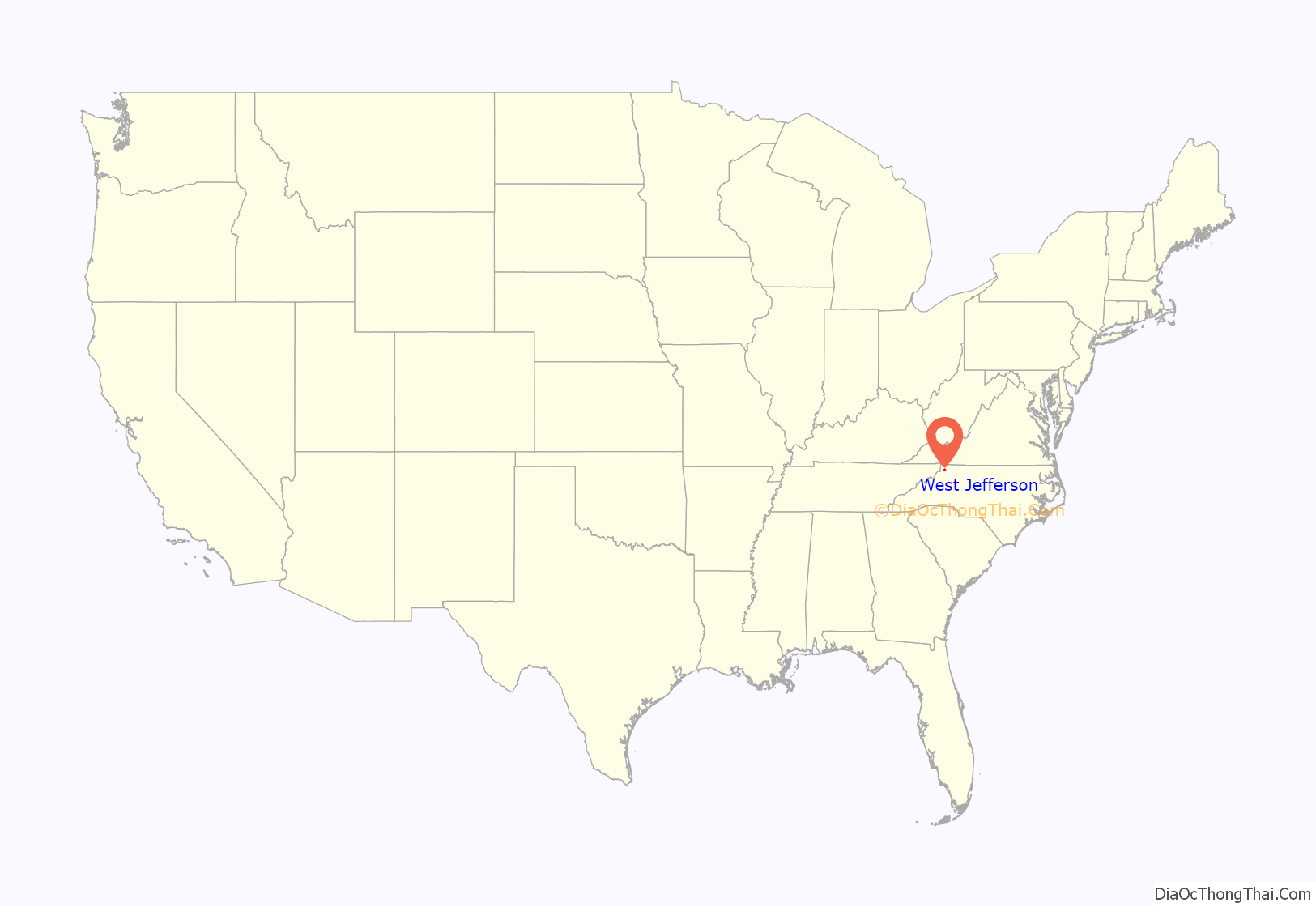
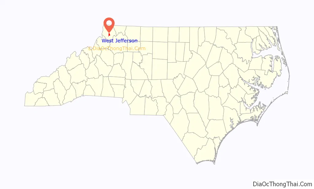
West Jefferson location map. Where is West Jefferson town?
History
West Jefferson was incorporated in 1909. At one time, West Jefferson had the distinction of having the only cheese factory in the southeastern United States. For many decades West Jefferson was served by the Norfolk and Western Railroad, better known as the “Virginia Creeper”. The railroad was the primary reason for the creation of West Jefferson, as the town became a major stop on the railway. With the decline of the railroad and the loss of textile factory jobs to foreign markets, West Jefferson’s economy is increasingly devoted to the tourism industry. The town’s location in the Appalachian Mountains has led to many tourists visiting the area each year, and many out-of-state tourists have begun to build cabins and housing developments around the town. Attractions include a walkable main street with food, breweries, local art, a cheese factory, a vintage theater, an annual festival, a caboose from a train, and a children’s playground.
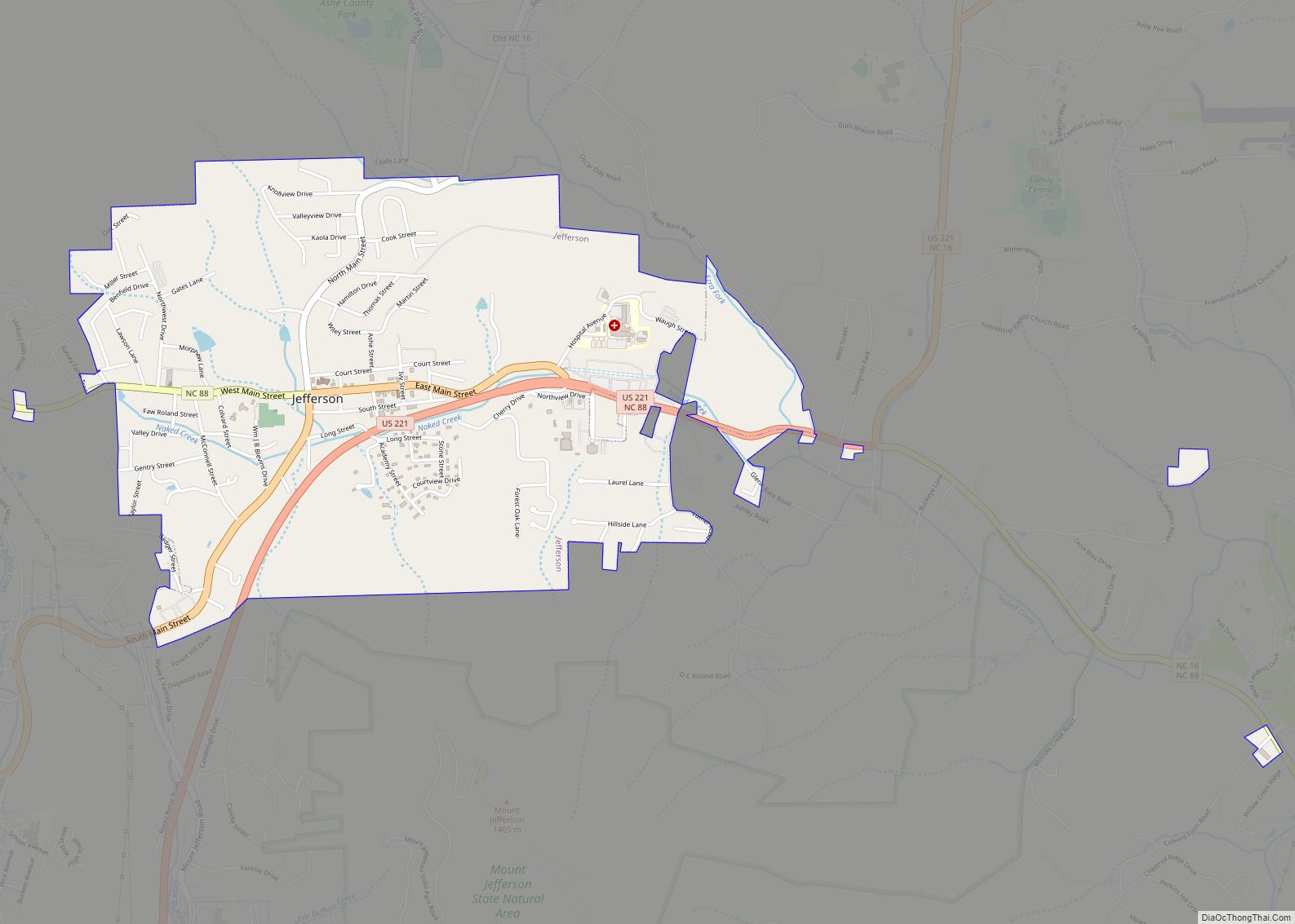
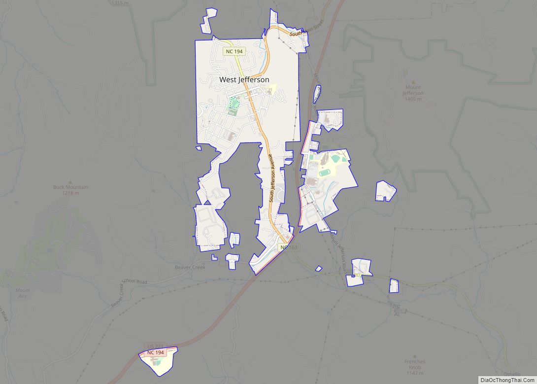
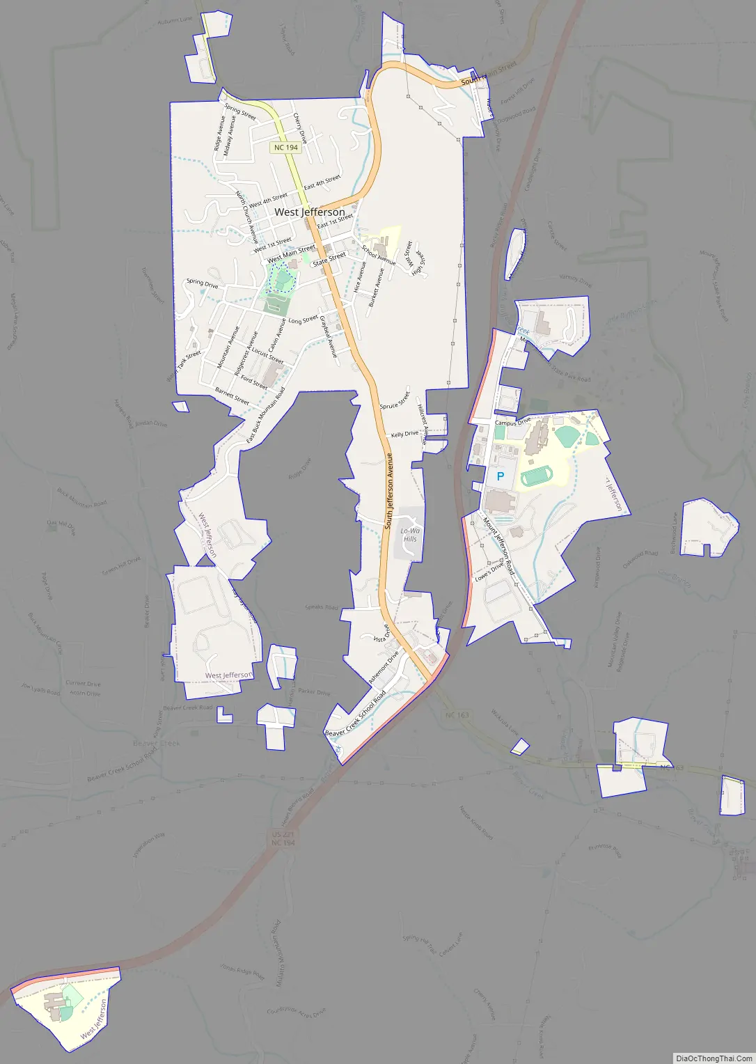
West Jefferson Road Map
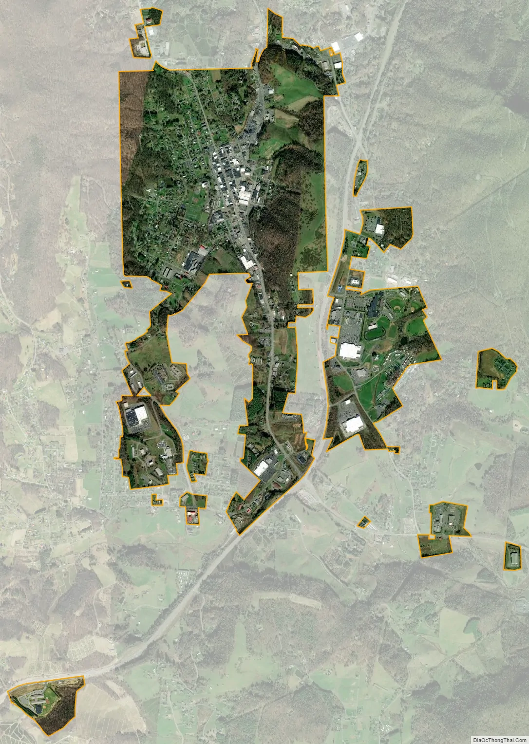
West Jefferson city Satellite Map
Geography
West Jefferson is situated in the Appalachian Mountain chain, in a valley between Mount Jefferson (to the east) and Paddy Mountain (to the west).
West Jefferson is located at 36°23′43″N 81°29′30″W / 36.39528°N 81.49167°W / 36.39528; -81.49167 (36.395181, -81.491742).
According to the United States Census Bureau, the town has a total area of 2.1 square miles (5.4 km), all land.
See also
Map of North Carolina State and its subdivision:- Alamance
- Alexander
- Alleghany
- Anson
- Ashe
- Avery
- Beaufort
- Bertie
- Bladen
- Brunswick
- Buncombe
- Burke
- Cabarrus
- Caldwell
- Camden
- Carteret
- Caswell
- Catawba
- Chatham
- Cherokee
- Chowan
- Clay
- Cleveland
- Columbus
- Craven
- Cumberland
- Currituck
- Dare
- Davidson
- Davie
- Duplin
- Durham
- Edgecombe
- Forsyth
- Franklin
- Gaston
- Gates
- Graham
- Granville
- Greene
- Guilford
- Halifax
- Harnett
- Haywood
- Henderson
- Hertford
- Hoke
- Hyde
- Iredell
- Jackson
- Johnston
- Jones
- Lee
- Lenoir
- Lincoln
- Macon
- Madison
- Martin
- McDowell
- Mecklenburg
- Mitchell
- Montgomery
- Moore
- Nash
- New Hanover
- Northampton
- Onslow
- Orange
- Pamlico
- Pasquotank
- Pender
- Perquimans
- Person
- Pitt
- Polk
- Randolph
- Richmond
- Robeson
- Rockingham
- Rowan
- Rutherford
- Sampson
- Scotland
- Stanly
- Stokes
- Surry
- Swain
- Transylvania
- Tyrrell
- Union
- Vance
- Wake
- Warren
- Washington
- Watauga
- Wayne
- Wilkes
- Wilson
- Yadkin
- Yancey
- Alabama
- Alaska
- Arizona
- Arkansas
- California
- Colorado
- Connecticut
- Delaware
- District of Columbia
- Florida
- Georgia
- Hawaii
- Idaho
- Illinois
- Indiana
- Iowa
- Kansas
- Kentucky
- Louisiana
- Maine
- Maryland
- Massachusetts
- Michigan
- Minnesota
- Mississippi
- Missouri
- Montana
- Nebraska
- Nevada
- New Hampshire
- New Jersey
- New Mexico
- New York
- North Carolina
- North Dakota
- Ohio
- Oklahoma
- Oregon
- Pennsylvania
- Rhode Island
- South Carolina
- South Dakota
- Tennessee
- Texas
- Utah
- Vermont
- Virginia
- Washington
- West Virginia
- Wisconsin
- Wyoming