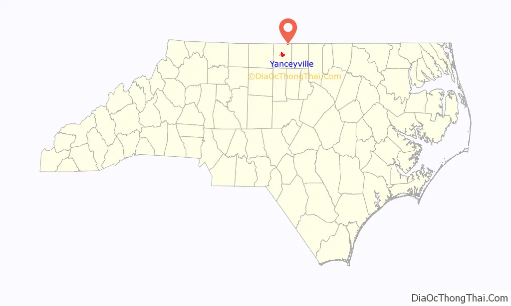
Yanceyville is a town in and the county seat of Caswell County, North Carolina, United States. Located in the Piedmont Triad region of the state, the town had a population of 1,937 at the 2020 census.
The settlement was founded in 1792 and was later named Yanceyville in honor of U.S. Congressman Bartlett Yancey, Jr. when it was chartered as an incorporated town in 1833.
There are three public schools in Yanceyville as well as a satellite campus for Piedmont Community College. Maud F. Gatewood Municipal Park and Caswell Community Arboretum are popular recreational areas.
Yanceyville Municipal Airport serves general aviation aircraft.
| Name: | Yanceyville town |
|---|---|
| LSAD Code: | 43 |
| LSAD Description: | town (suffix) |
| State: | North Carolina |
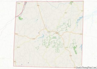
| County: | Caswell County |
| Elevation: | 607 ft (185 m) |
| Total Area: | 6.96 sq mi (18.03 km²) |
| Land Area: | 6.93 sq mi (17.94 km²) |
| Water Area: | 0.03 sq mi (0.09 km²) |
| Total Population: | 1,937 |
| Population Density: | 279.63/sq mi (107.97/km²) |
| ZIP code: | 27379 |
| Area code: | 336 |
| FIPS code: | 3776000 |
| GNISfeature ID: | 0997688 |
| Website: | www.yanceyvillenc.gov |
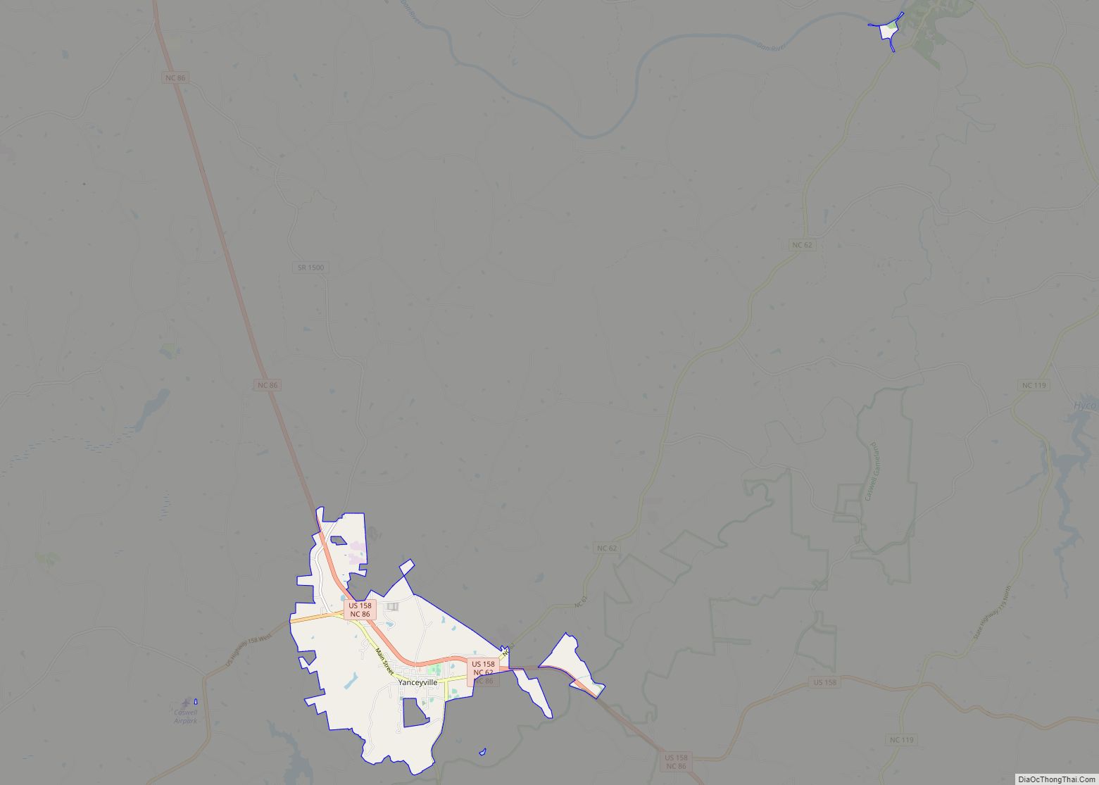
Online Interactive Map
Click on ![]() to view map in "full screen" mode.
to view map in "full screen" mode.
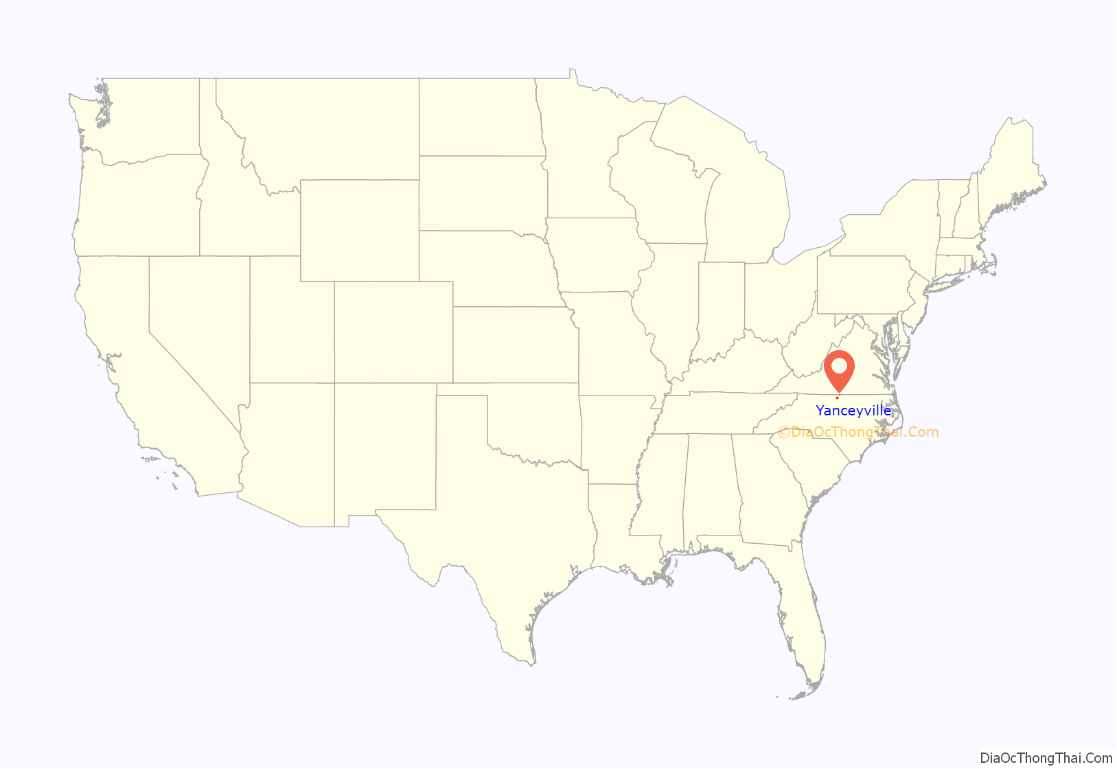
Yanceyville location map. Where is Yanceyville town?
History
The identity of Yanceyville’s namesake has been a matter of historical debate. The prevailing view is that the town is named after U.S. Congressman Bartlett Yancey, Jr., (1785–1828). Surviving documents had strongly suggested that it was named for Bartlett Yancey, Jr.’s older brother James Yancey (1768–1829). The elder Yancey was a legislator, merchant, planter, public official, and educator. In 1977, North Carolina historian William S. Powell wrote that the preponderance of evidence supported Bartlett Yancey, Jr., as the town’s namesake.
Yanceyville has been the county seat since 1792. It was originally called Caswell Court House until 1833. In 1833, Yanceyville was chartered as an incorporated town, although years later this was seemingly forgotten because a municipal charter was obtained from the General Assembly again in 1877. In 1885, the state legislature passed a similar act, but why it was necessary is unknown. In 1899, the act authorizing the town’s incorporation was repealed. In 1905, Yanceyville was incorporated again, only to have the charter repealed once more in 1915. The town remained an unincorporated community until a successful attempt at reorganization and incorporation occurred in 1986.
Caswell County’s historic courthouse is a prominent landmark and center of activity in Yanceyville. Its design combines Italian Romanesque and classical features in a manner unique to North Carolina courthouse architecture. Located in the town’s historic district in Court Square, it has been restored and provides offices for county departments.
A new county courthouse was constructed in the mid-1970s and is located a few blocks north of Court Square. Construction on the preceding historic courthouse began in 1858 during the tail end of the area’s prosperous “Boom Era.” Built using enslaved labor, it was completed in 1861 amid the early stages of the American Civil War.
If Yanceyville had not been the county seat, it likely would have been abandoned as a ghost town after the war’s end in 1865. The previous plantation way of life had disappeared. No clear geographic or commercial reason for the town’s existence remained other than the purpose of functioning as the county’s seat of government.
With no railroad, major waterway, or ability to attract commerce, Yanceyville was almost entirely reliant on agricultural enterprises in the surrounding county in the decades following the Civil War. These businesses focused mainly on tobacco and were dominated by markets beyond Caswell County. Agricultural practices in Yanceyville during the antebellum period and thereafter had overused the land and caused soil erosion. Gullies were evident on most farms. From 1880 to 1900, the dire economic situation led to a sharp decline in the township’s population. Such agronomic challenges persisted well into the 20th century.
Improved farming techniques in the 1940s and 1950s curbed further land degradation, which contributed significantly to Yanceyville’s economic development and revitalization. During the latter half of the 20th century and into the 21st, the local economy continued to develop, diversify, and experience growth away from tobacco cultivation.
Yanceyville Road Map

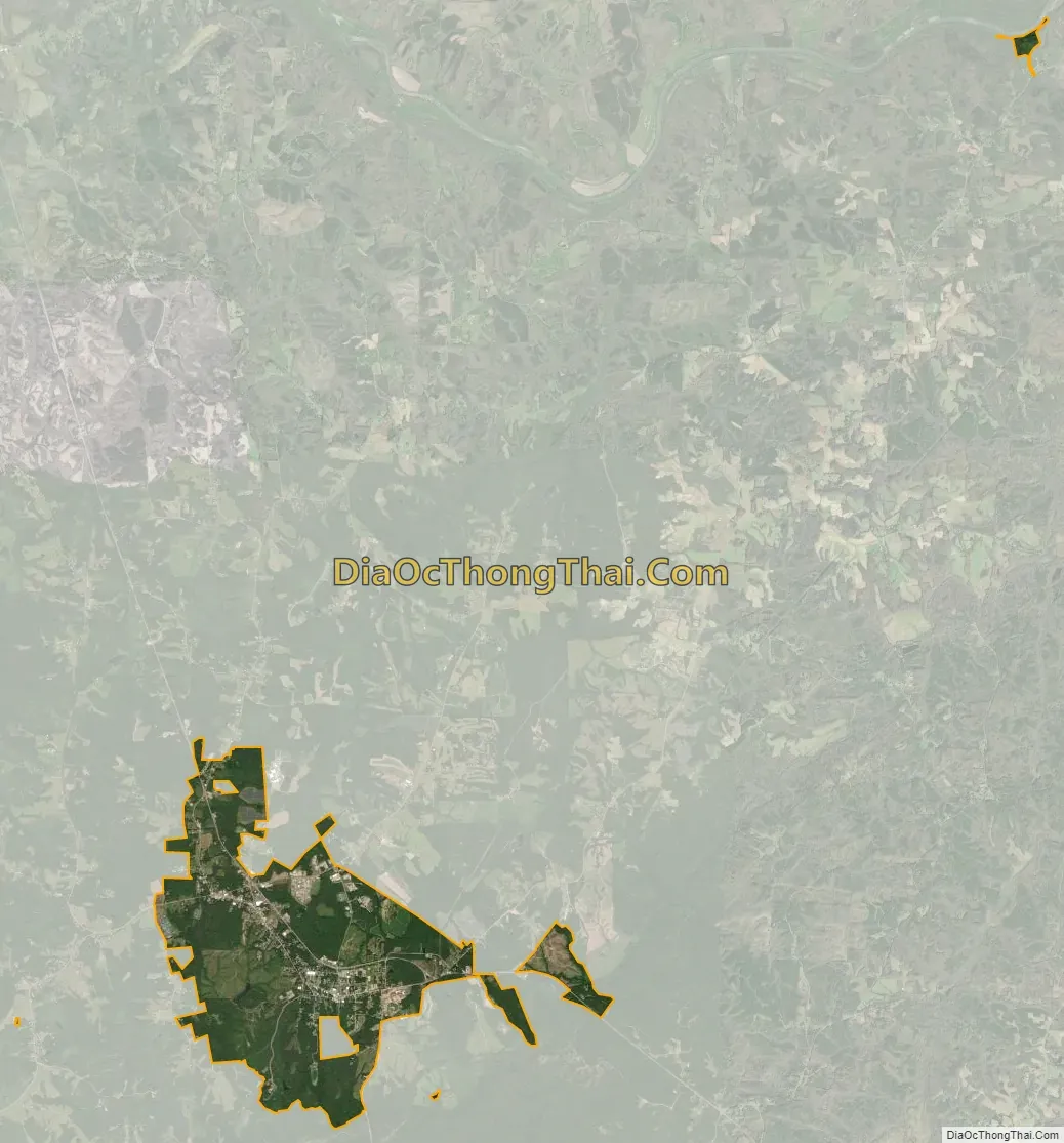
Yanceyville city Satellite Map
Geography
Yanceyville is located at the center of Caswell County. According to the United States Census Bureau, Yanceyville has a total area of 5.55 square miles (14.37 km), of which 5.52 square miles (14.29 km) is land and 0.03 square miles (0.082 km), or 0.57%, is water.
Climate
On the Köppen climate classification scale, Yanceyville is in the Cfa (humid subtropical) zone, which is standard for the state. Its location in the Piedmont region means average winter temperatures ranging from 28.9–52.4 °F (−1.7–11.3 °C), with moderate snowfall, and mild to hot summers.
The county is sometimes included in the well-known “Carolina Alley.” This is mostly caused by the cold air from the Appalachian Mountains mixing with the warm Piedmont air. According to USA.com, the county ranks No. 79 in tornado risk out of all 100 counties in North Carolina. It also ranks No. 41 in earthquake risk in the state. From 1950 to 2010, there have been 28 tornadoes rated F2/EF2 or higher; out of all 28, four have had a rating of F3/EF3. From 1950 to 2010, there were a reported 12,795 severe weather related incidents (hail, thunderstorms/heavy winds, and flooding).
Yanceyville is in a very low-risk hurricane zone, with thirty-five occurring in the area since 1930. The largest was the 1935 Labor Day hurricane and the most recent was Tropical Storm Ana in 2015. From 1950 to 2010, there have been 13 reported tropical storms/hurricanes that have hit the area. One reason that August and September are among the wettest months is due to the influx of precipitation caused by the yearly hurricane season.
The mildest months of the year for Yanceyville and the region are May, September, and October. There are seven months (April–October) with average high temperatures in the range of 70.5–89.8 °F (21.4–32.1 °C). In 2018, July was the hottest month with an average high temperature of 89.1 °F (31.7 °C). January is usually the coldest month for the town. The most humid months are June, July, and August.
See also
Map of North Carolina State and its subdivision:- Alamance
- Alexander
- Alleghany
- Anson
- Ashe
- Avery
- Beaufort
- Bertie
- Bladen
- Brunswick
- Buncombe
- Burke
- Cabarrus
- Caldwell
- Camden
- Carteret
- Caswell
- Catawba
- Chatham
- Cherokee
- Chowan
- Clay
- Cleveland
- Columbus
- Craven
- Cumberland
- Currituck
- Dare
- Davidson
- Davie
- Duplin
- Durham
- Edgecombe
- Forsyth
- Franklin
- Gaston
- Gates
- Graham
- Granville
- Greene
- Guilford
- Halifax
- Harnett
- Haywood
- Henderson
- Hertford
- Hoke
- Hyde
- Iredell
- Jackson
- Johnston
- Jones
- Lee
- Lenoir
- Lincoln
- Macon
- Madison
- Martin
- McDowell
- Mecklenburg
- Mitchell
- Montgomery
- Moore
- Nash
- New Hanover
- Northampton
- Onslow
- Orange
- Pamlico
- Pasquotank
- Pender
- Perquimans
- Person
- Pitt
- Polk
- Randolph
- Richmond
- Robeson
- Rockingham
- Rowan
- Rutherford
- Sampson
- Scotland
- Stanly
- Stokes
- Surry
- Swain
- Transylvania
- Tyrrell
- Union
- Vance
- Wake
- Warren
- Washington
- Watauga
- Wayne
- Wilkes
- Wilson
- Yadkin
- Yancey
- Alabama
- Alaska
- Arizona
- Arkansas
- California
- Colorado
- Connecticut
- Delaware
- District of Columbia
- Florida
- Georgia
- Hawaii
- Idaho
- Illinois
- Indiana
- Iowa
- Kansas
- Kentucky
- Louisiana
- Maine
- Maryland
- Massachusetts
- Michigan
- Minnesota
- Mississippi
- Missouri
- Montana
- Nebraska
- Nevada
- New Hampshire
- New Jersey
- New Mexico
- New York
- North Carolina
- North Dakota
- Ohio
- Oklahoma
- Oregon
- Pennsylvania
- Rhode Island
- South Carolina
- South Dakota
- Tennessee
- Texas
- Utah
- Vermont
- Virginia
- Washington
- West Virginia
- Wisconsin
- Wyoming