Weissport East is a census-designated place (CDP) in Franklin Township in Carbon County, Pennsylvania. It is part of Northeastern Pennsylvania.
The population was 1,624 at the time of the 2010 census, down from 1,936 at the 2000 census.
| Name: | Weissport East CDP |
|---|---|
| LSAD Code: | 57 |
| LSAD Description: | CDP (suffix) |
| State: | Pennsylvania |
| County: | Carbon County |
| Elevation: | 607 ft (185 m) |
| Total Area: | 2.1 sq mi (5 km²) |
| Land Area: | 2.1 sq mi (5 km²) |
| Water Area: | 0.0 sq mi (0 km²) |
| Total Population: | 1,624 |
| Population Density: | 770/sq mi (300/km²) |
| ZIP code: | 18235 |
| Area code: | 610 |
| FIPS code: | 4282088 |
Online Interactive Map
Click on ![]() to view map in "full screen" mode.
to view map in "full screen" mode.
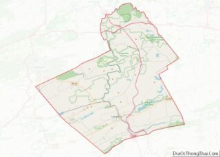
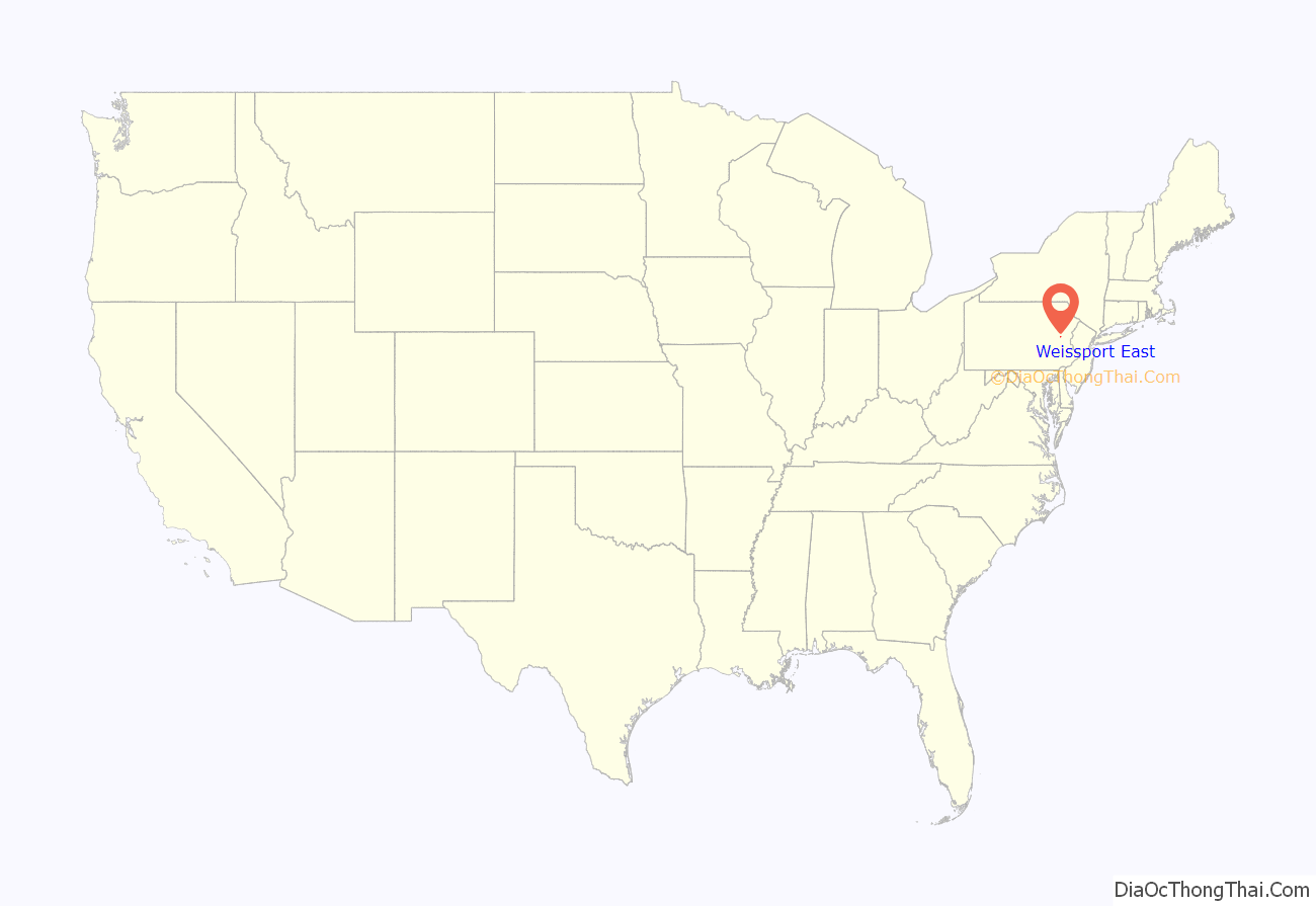
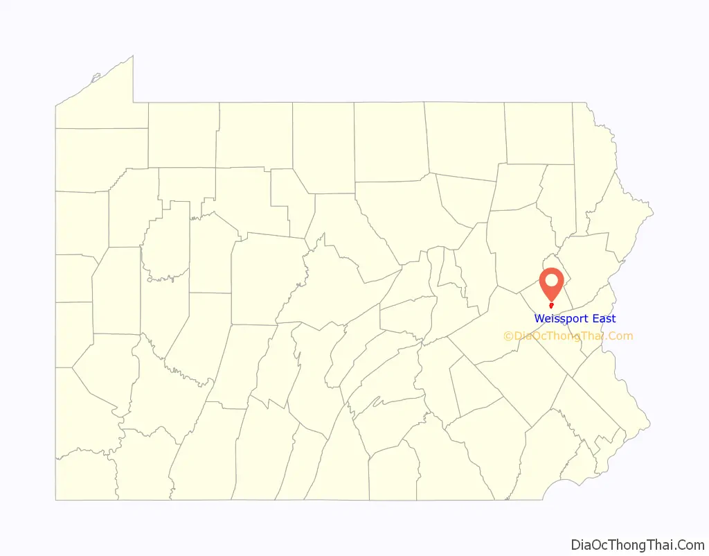
Weissport East location map. Where is Weissport East CDP?
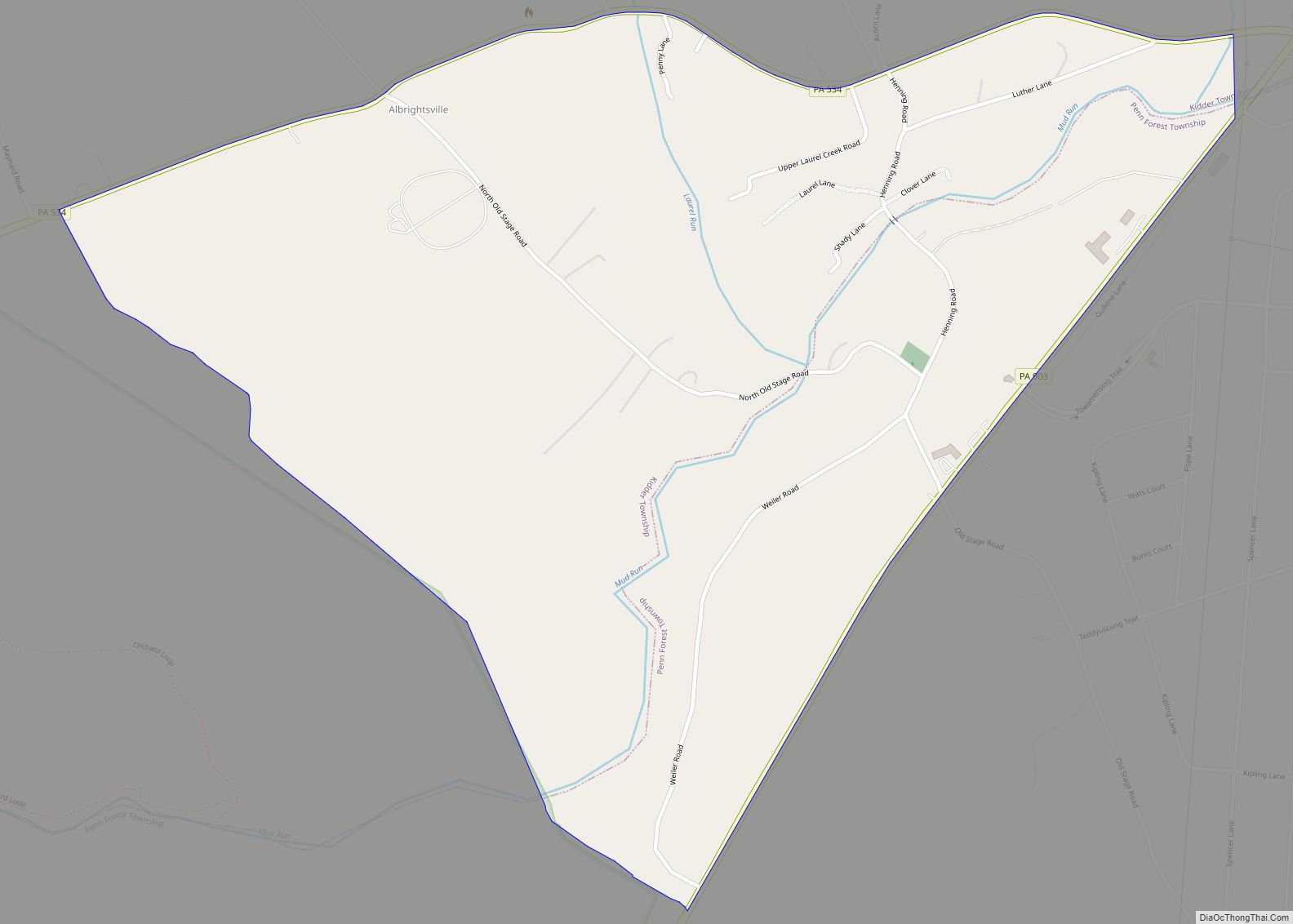
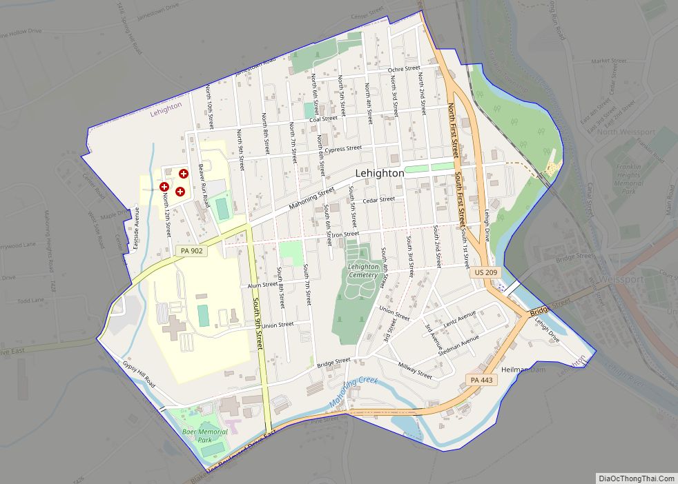
Weissport East Road Map
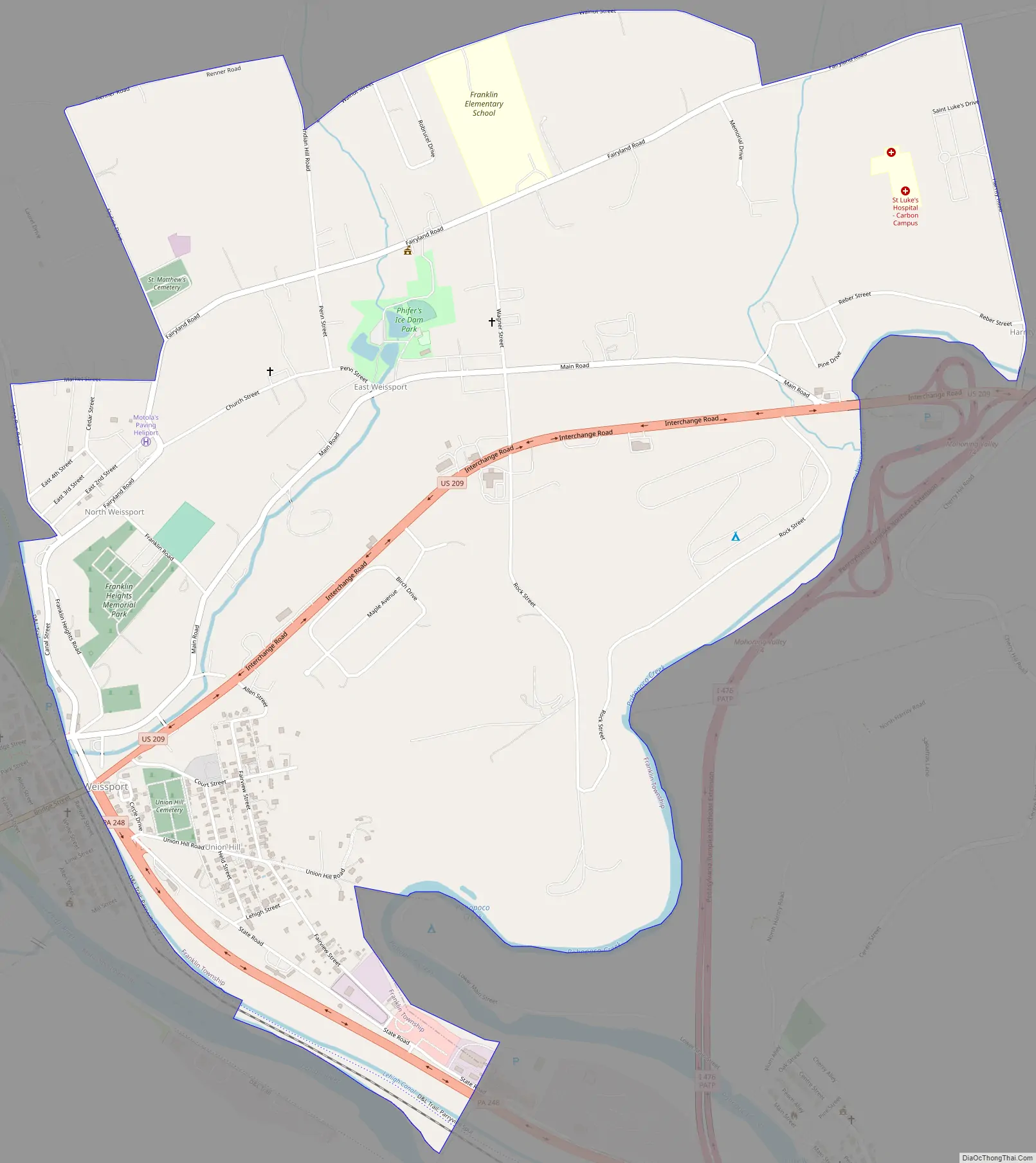
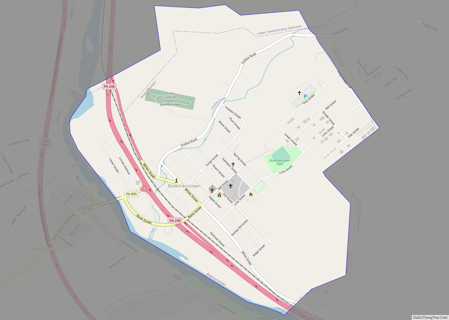
Weissport East city Satellite Map
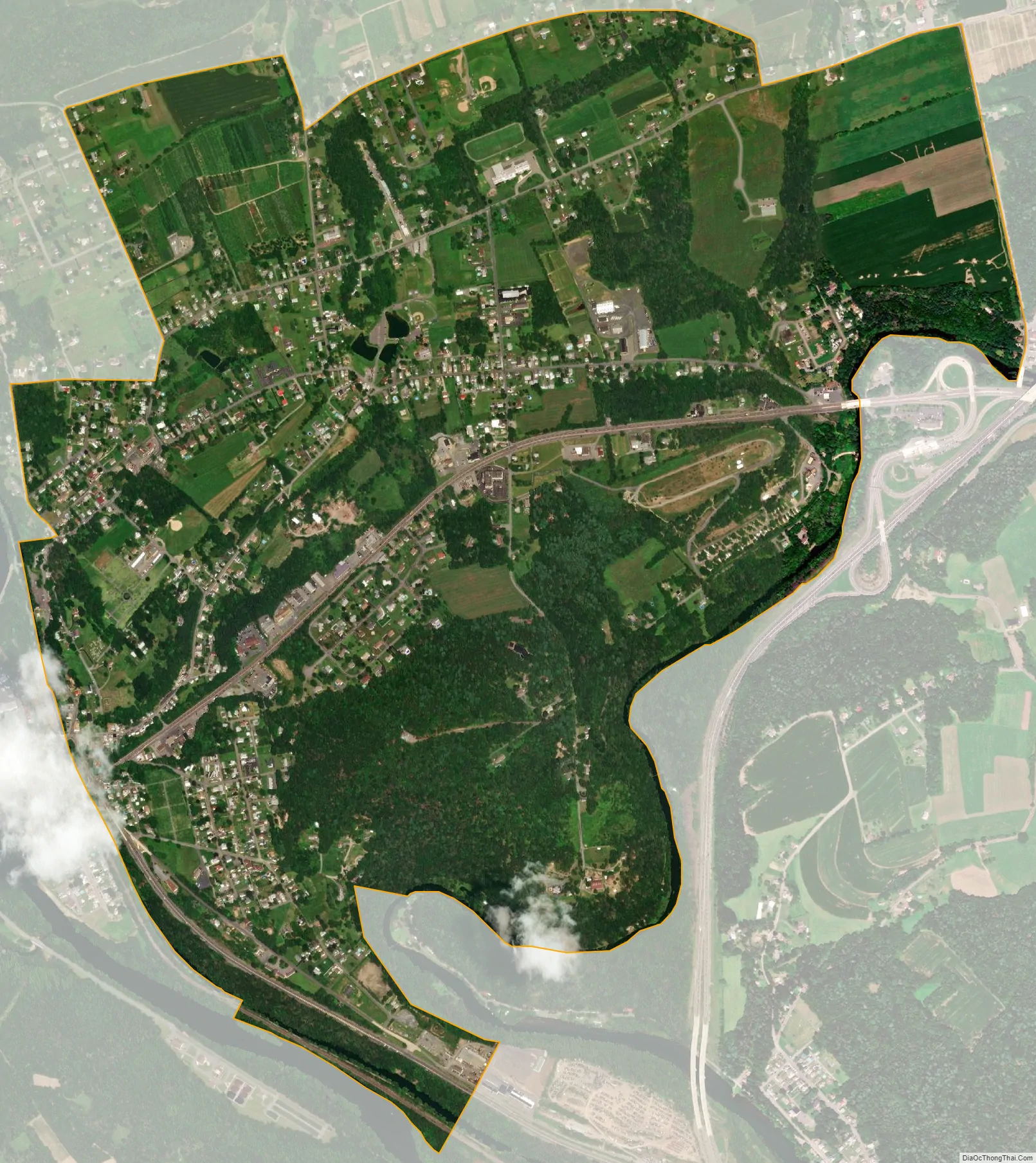
Geography
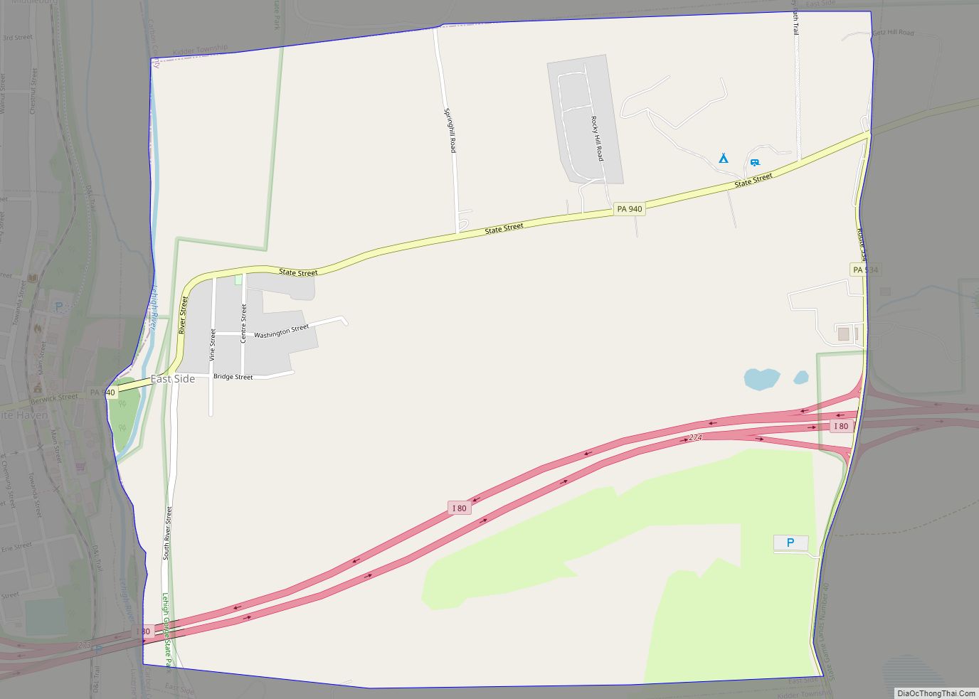
Weissport East is located in southern Carbon County at 40°50′0″N 75°41′24″W / 40.83333°N 75.69000°W / 40.83333; -75.69000 (40.833374, -75.690075).
It is bordered to the west by the borough of Weissport, to the southwest by the Lehigh River, and to the south by Pohopoco Creek, across which is the borough of Parryville.
According to the United States Census Bureau, the CDP has a total area of 2.1 square miles (5.4 km), all of it land.
U.S. Route 209 passes through the community, leading west into Weissport and then Lehighton, and intersecting Interstate 476, the Northeast Extension of the Pennsylvania Turnpike, just east of the community. I-476 leads north to the Wilkes-Barre and Scranton area and south to the Allentown–Bethlehem area.
See also
Map of Pennsylvania State and its subdivision:- Adams
- Allegheny
- Armstrong
- Beaver
- Bedford
- Berks
- Blair
- Bradford
- Bucks
- Butler
- Cambria
- Cameron
- Carbon
- Centre
- Chester
- Clarion
- Clearfield
- Clinton
- Columbia
- Crawford
- Cumberland
- Dauphin
- Delaware
- Elk
- Erie
- Fayette
- Forest
- Franklin
- Fulton
- Greene
- Huntingdon
- Indiana
- Jefferson
- Juniata
- Lackawanna
- Lancaster
- Lawrence
- Lebanon
- Lehigh
- Luzerne
- Lycoming
- Mc Kean
- Mercer
- Mifflin
- Monroe
- Montgomery
- Montour
- Northampton
- Northumberland
- Perry
- Philadelphia
- Pike
- Potter
- Schuylkill
- Snyder
- Somerset
- Sullivan
- Susquehanna
- Tioga
- Union
- Venango
- Warren
- Washington
- Wayne
- Westmoreland
- Wyoming
- York
- Alabama
- Alaska
- Arizona
- Arkansas
- California
- Colorado
- Connecticut
- Delaware
- District of Columbia
- Florida
- Georgia
- Hawaii
- Idaho
- Illinois
- Indiana
- Iowa
- Kansas
- Kentucky
- Louisiana
- Maine
- Maryland
- Massachusetts
- Michigan
- Minnesota
- Mississippi
- Missouri
- Montana
- Nebraska
- Nevada
- New Hampshire
- New Jersey
- New Mexico
- New York
- North Carolina
- North Dakota
- Ohio
- Oklahoma
- Oregon
- Pennsylvania
- Rhode Island
- South Carolina
- South Dakota
- Tennessee
- Texas
- Utah
- Vermont
- Virginia
- Washington
- West Virginia
- Wisconsin
- Wyoming