Algood is a city in Putnam County, Tennessee, United States. The population was 3,963 at the 2020 census. It is part of the Cookeville Micropolitan Statistical Area.
| Name: | Algood city |
|---|---|
| LSAD Code: | 25 |
| LSAD Description: | city (suffix) |
| State: | Tennessee |
| County: | Putnam County |
| Incorporated: | 1911 |
| Elevation: | 1,112 ft (339 m) |
| Total Area: | 4.09 sq mi (10.59 km²) |
| Land Area: | 4.09 sq mi (10.59 km²) |
| Water Area: | 0.00 sq mi (0.00 km²) |
| Total Population: | 3,963 |
| Population Density: | 968.95/sq mi (374.15/km²) |
| ZIP code: | 38506 |
| Area code: | 931 |
| FIPS code: | 4700640 |
| GNISfeature ID: | 1304798 |
| Website: | algood-tn.com |
Online Interactive Map
Click on ![]() to view map in "full screen" mode.
to view map in "full screen" mode.
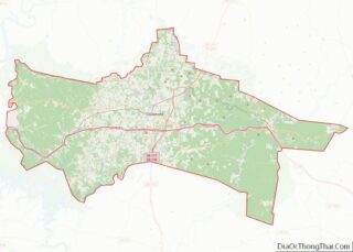
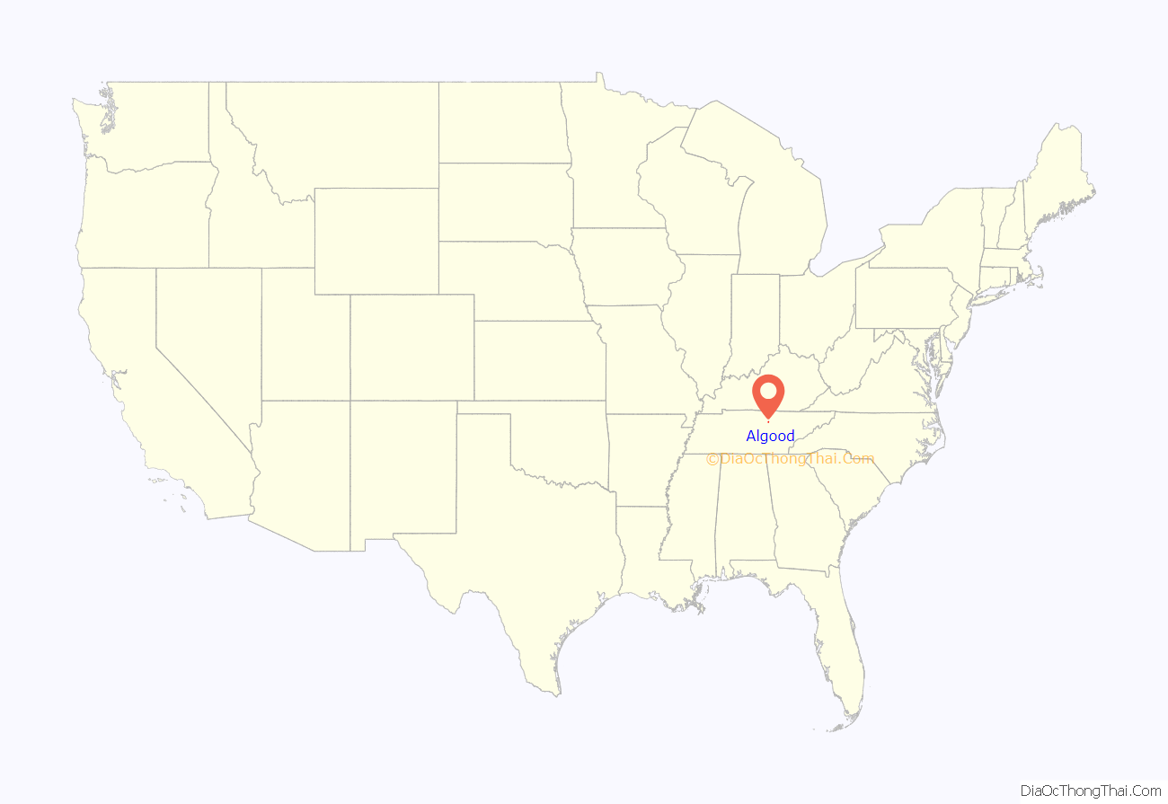
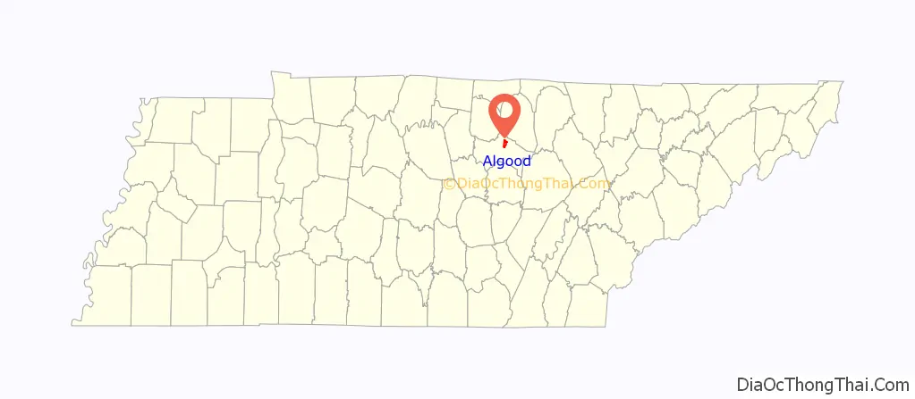
Algood location map. Where is Algood city?
History
While Algood was not established until the late 19th century, in the early 19th century a small community developed just south of modern Algood at White Plains, an antebellum plantation and important stopover along the Walton Road (which connected Nashville and Knoxville). In the 1880s, the Nashville & Knoxville Railroad erected a depot at what is now Algood. The land on which the depot was built was purchased from a circuit rider and early settler named Joel Algood, and thus the train stop was named after him. For a period of time the area would be called Algood’s Old Fields. In 1899, the Algood Methodist Church (now Algood United Methodist Church) was built on land donated by the children of this early settler. Algood was initially incorporated in 1901, but repealed its own charter two years later. The town reincorporated in 1911.
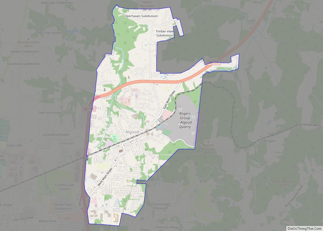
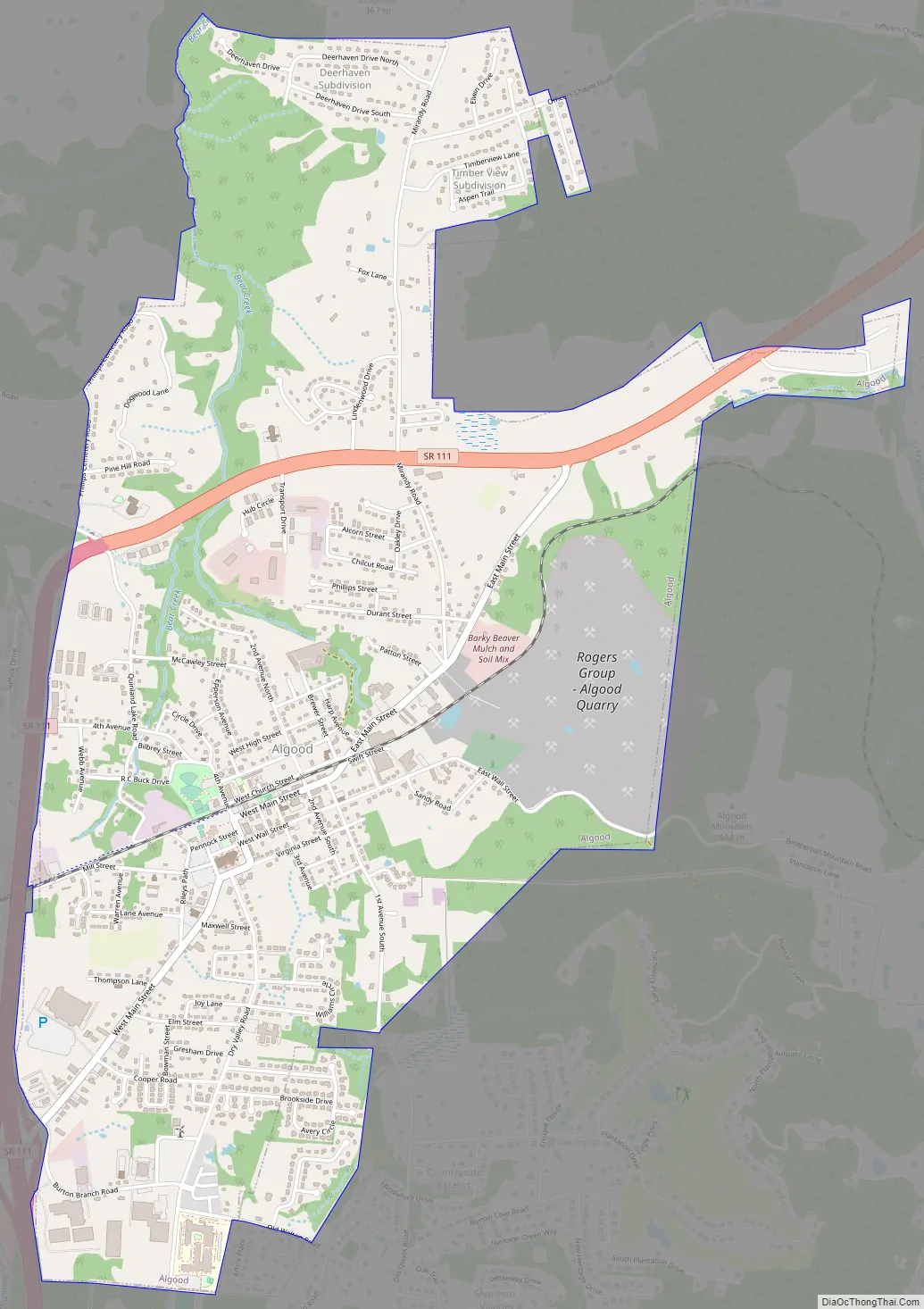
Algood Road Map
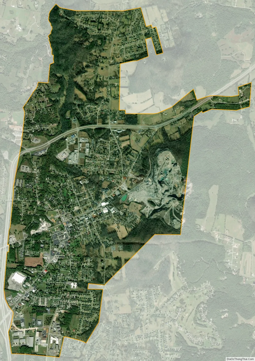
Algood city Satellite Map
Geography
The town is situated at the base of Algood Mountain (el. 1,456 feet (444 m)), one of a series of low, wide ridges in the area that present as “stair steps” from the Highland Rim to the Cumberland Plateau. Algood is centered along the former State Route 42 (Main Street), a state highway designation which no longer exists, just east of the road’s two junctions with State Route 111.
According to the United States Census Bureau, the town has a total area of 4.0 square miles (10 km), all land.
See also
Map of Tennessee State and its subdivision:- Anderson
- Bedford
- Benton
- Bledsoe
- Blount
- Bradley
- Campbell
- Cannon
- Carroll
- Carter
- Cheatham
- Chester
- Claiborne
- Clay
- Cocke
- Coffee
- Crockett
- Cumberland
- Davidson
- Decatur
- DeKalb
- Dickson
- Dyer
- Fayette
- Fentress
- Franklin
- Gibson
- Giles
- Grainger
- Greene
- Grundy
- Hamblen
- Hamilton
- Hancock
- Hardeman
- Hardin
- Hawkins
- Haywood
- Henderson
- Henry
- Hickman
- Houston
- Humphreys
- Jackson
- Jefferson
- Johnson
- Knox
- Lake
- Lauderdale
- Lawrence
- Lewis
- Lincoln
- Loudon
- Macon
- Madison
- Marion
- Marshall
- Maury
- McMinn
- McNairy
- Meigs
- Monroe
- Montgomery
- Moore
- Morgan
- Obion
- Overton
- Perry
- Pickett
- Polk
- Putnam
- Rhea
- Roane
- Robertson
- Rutherford
- Scott
- Sequatchie
- Sevier
- Shelby
- Smith
- Stewart
- Sullivan
- Sumner
- Tipton
- Trousdale
- Unicoi
- Union
- Van Buren
- Warren
- Washington
- Wayne
- Weakley
- White
- Williamson
- Wilson
- Alabama
- Alaska
- Arizona
- Arkansas
- California
- Colorado
- Connecticut
- Delaware
- District of Columbia
- Florida
- Georgia
- Hawaii
- Idaho
- Illinois
- Indiana
- Iowa
- Kansas
- Kentucky
- Louisiana
- Maine
- Maryland
- Massachusetts
- Michigan
- Minnesota
- Mississippi
- Missouri
- Montana
- Nebraska
- Nevada
- New Hampshire
- New Jersey
- New Mexico
- New York
- North Carolina
- North Dakota
- Ohio
- Oklahoma
- Oregon
- Pennsylvania
- Rhode Island
- South Carolina
- South Dakota
- Tennessee
- Texas
- Utah
- Vermont
- Virginia
- Washington
- West Virginia
- Wisconsin
- Wyoming