Ardmore is a city in Giles and Lincoln counties, Tennessee. The population was 1,213 at the 2010 census. Ardmore is the site of a Tennessee Department of Tourist Development Welcome Center. It borders its sister city, Ardmore, Alabama.
| Name: | Ardmore city |
|---|---|
| LSAD Code: | 25 |
| LSAD Description: | city (suffix) |
| State: | Tennessee |
| County: | Giles County, Lincoln County |
| Elevation: | 886 ft (270 m) |
| Total Area: | 4.71 sq mi (12.19 km²) |
| Land Area: | 4.70 sq mi (12.17 km²) |
| Water Area: | 0.01 sq mi (0.02 km²) |
| Total Population: | 1,217 |
| Population Density: | 259.05/sq mi (100.02/km²) |
| ZIP code: | 38449 |
| Area code: | 931 |
| FIPS code: | 4701640 |
| GNISfeature ID: | 1304866 |
| Website: | www.cityofardmoretn.com |
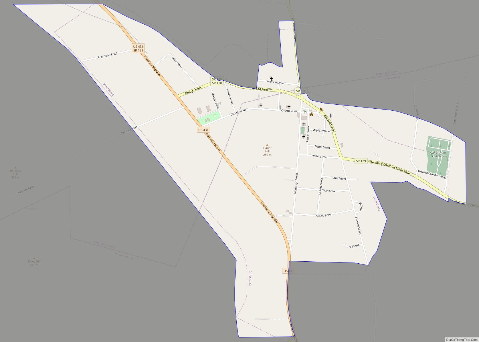
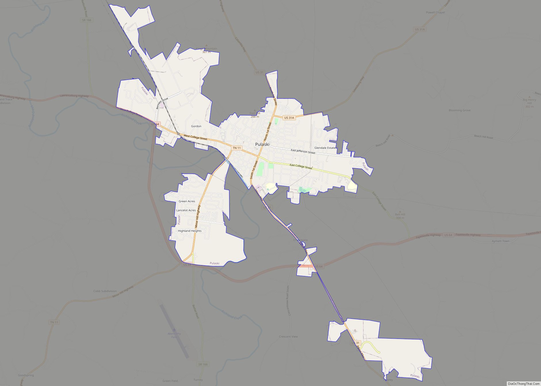
Online Interactive Map
Click on ![]() to view map in "full screen" mode.
to view map in "full screen" mode.
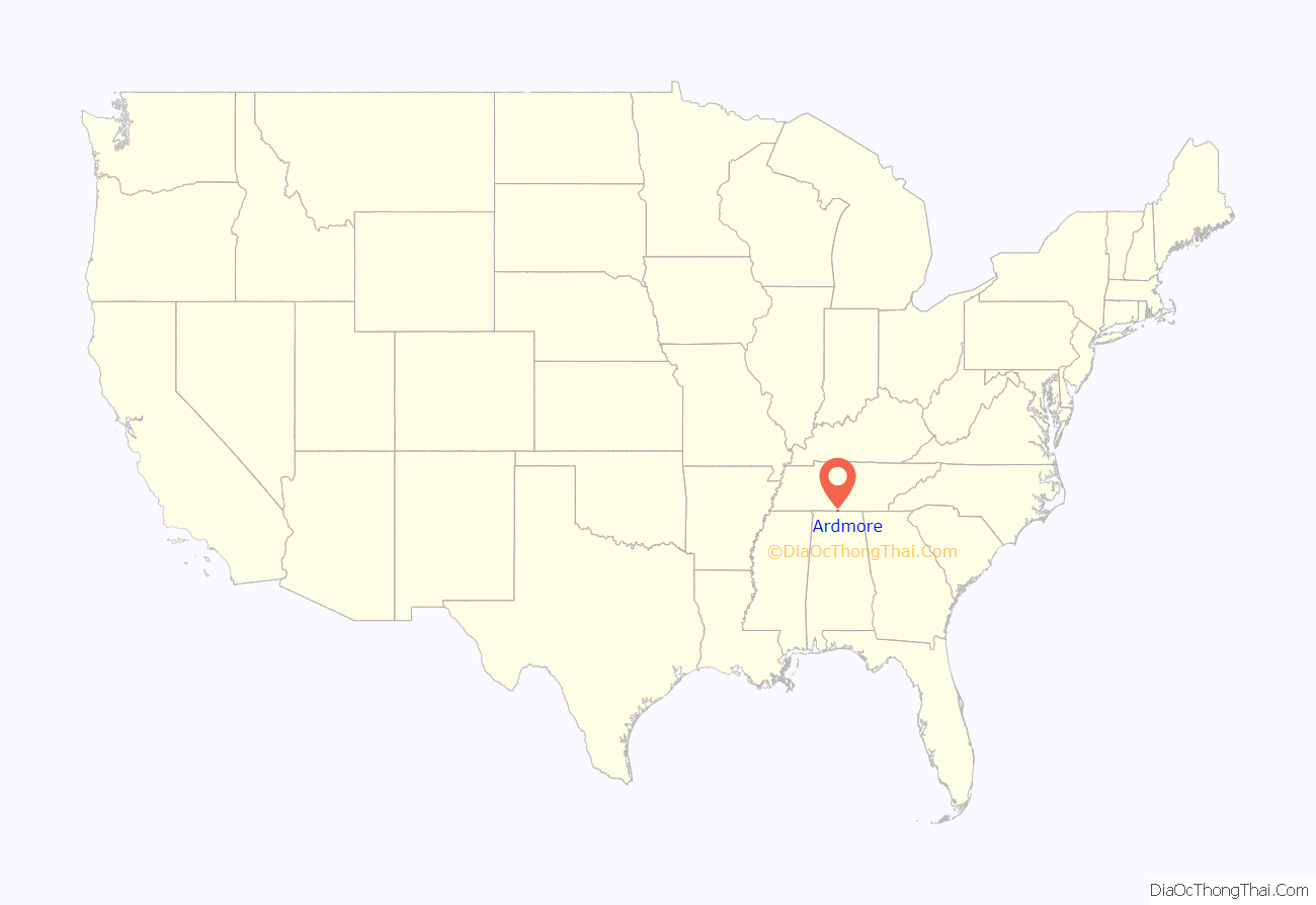
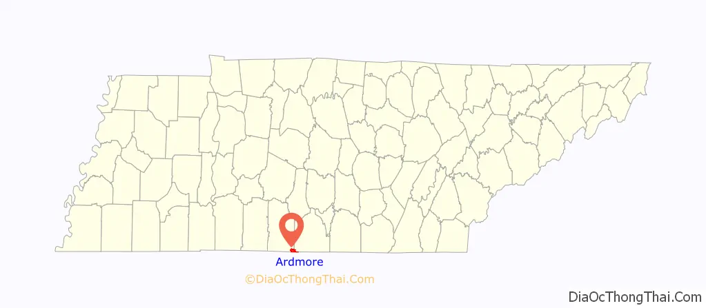
Ardmore location map. Where is Ardmore city?
History
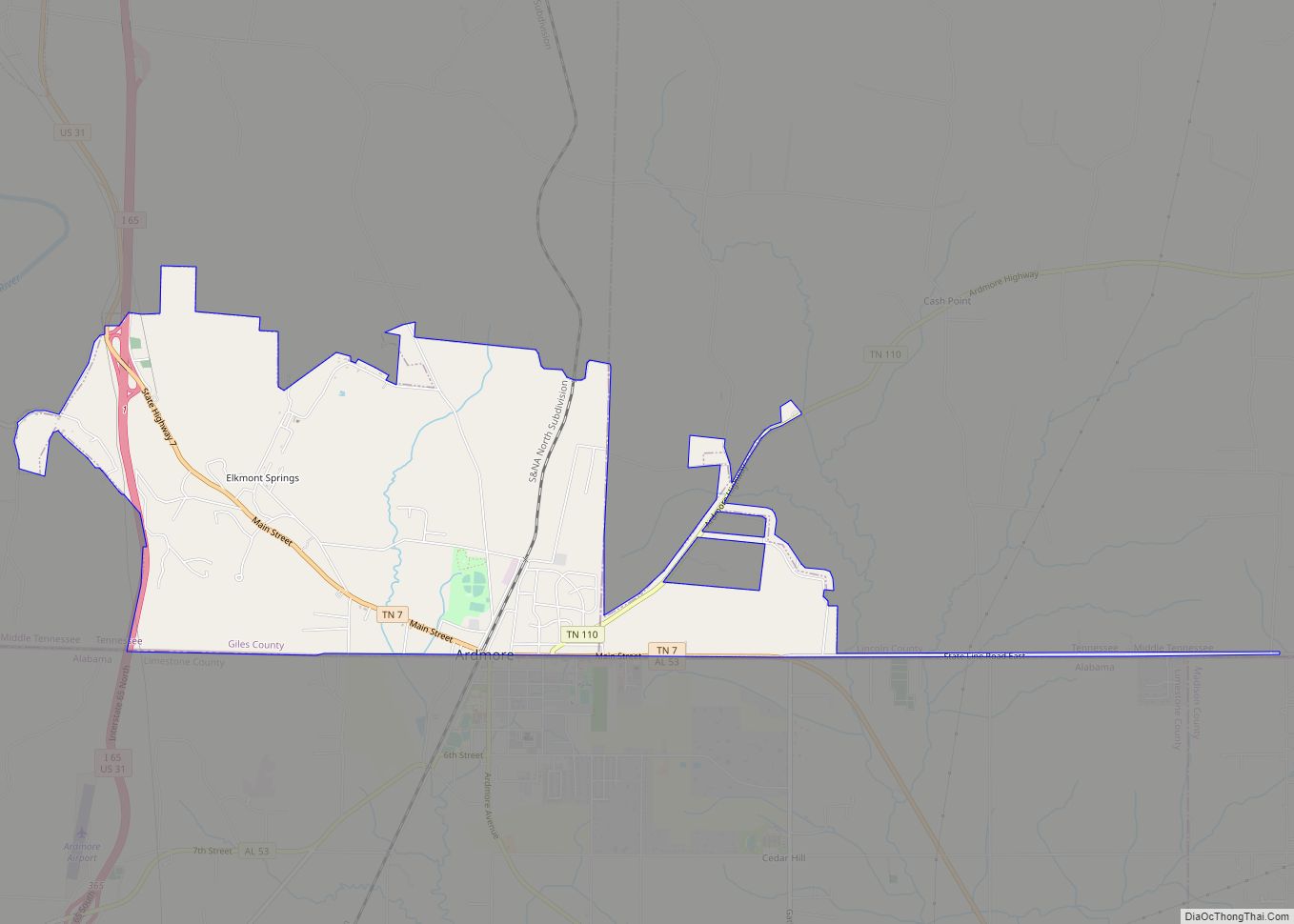
Ardmore began in 1911 as a railroad stop named “Austin” after a store owner, Alex Austin, who served construction crews working on the nearby L&N Railroad (now CSX) line that would connect Nashville, Tennessee, and Decatur, Alabama. When the L&N opened a depot in 1914, it changed the town’s name to “Ardmore.” The name was likely inspired by Ardmore, Pennsylvania. Ardmore, Tennessee, incorporated in 1949.
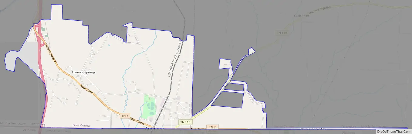
Ardmore Road Map
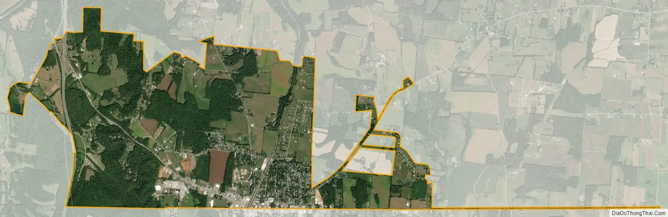
Ardmore city Satellite Map
Geography
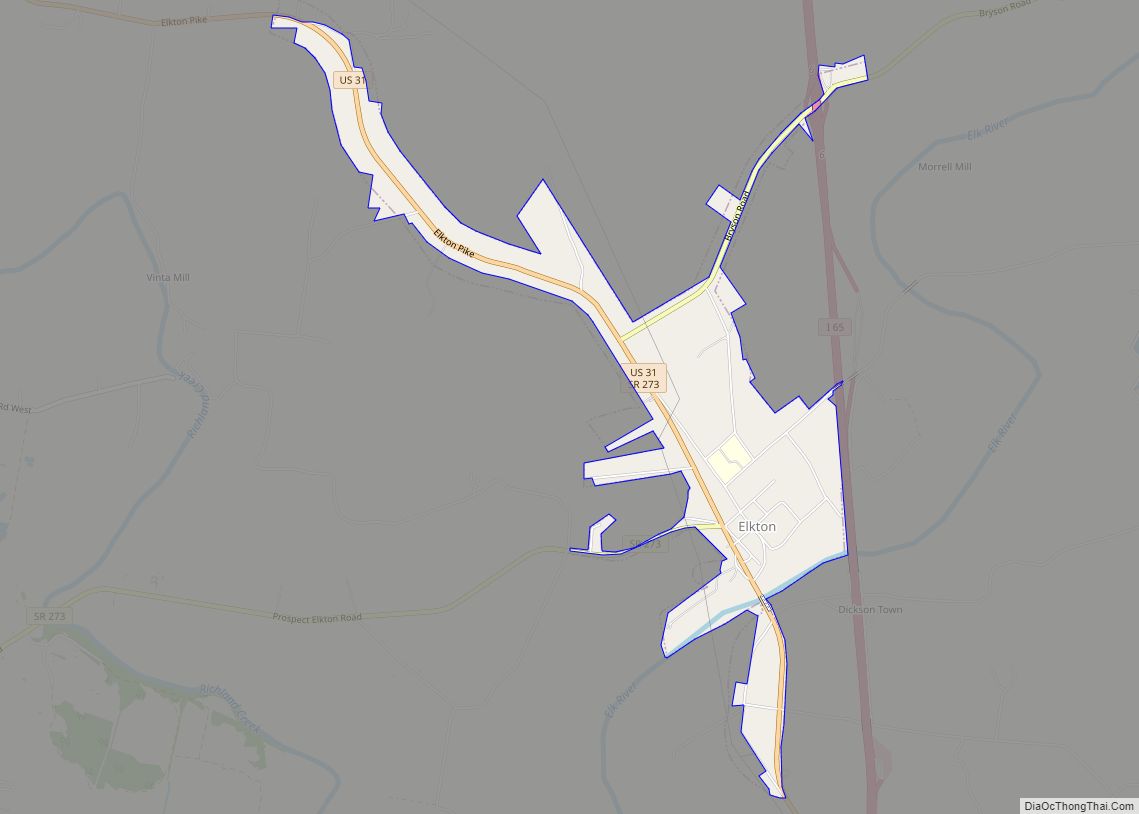
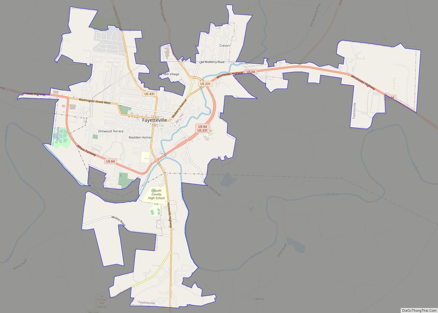
Ardmore is located at 35°0′17″N 86°51′5″W / 35.00472°N 86.85139°W / 35.00472; -86.85139 (35.004746, -86.851402). The city is concentrated along Tennessee State Route 7 (Main Street), which runs congruent with Alabama State Route 53 along the state line before veering northwestward to its intersection with Interstate 65 and U.S. Route 31 in the western part of the city. US 31 connects Ardmore with Elkton, Tennessee, which lies to the northwest, and Tennessee State Route 110 connects Ardmore with Fayetteville to the northeast. Ardmore is the southern terminus of U.S. Bicycle Route 23.
According to the United States Census Bureau, the city has a total area of 4.5 square miles (12 km), of which 0.22% is water. Ardmore’s business district is located primarily in Giles County, though the eastern parts of the city are located in Lincoln County. The Elk River passes northwest of Ardmore.
Climate
See also
Map of Tennessee State and its subdivision:- Anderson
- Bedford
- Benton
- Bledsoe
- Blount
- Bradley
- Campbell
- Cannon
- Carroll
- Carter
- Cheatham
- Chester
- Claiborne
- Clay
- Cocke
- Coffee
- Crockett
- Cumberland
- Davidson
- Decatur
- DeKalb
- Dickson
- Dyer
- Fayette
- Fentress
- Franklin
- Gibson
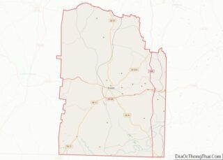
- Giles
- Grainger
- Greene
- Grundy
- Hamblen
- Hamilton
- Hancock
- Hardeman
- Hardin
- Hawkins
- Haywood
- Henderson
- Henry
- Hickman
- Houston
- Humphreys
- Jackson
- Jefferson
- Johnson
- Knox
- Lake
- Lauderdale
- Lawrence
- Lewis
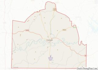
- Lincoln
- Loudon
- Macon
- Madison
- Marion
- Marshall
- Maury
- McMinn
- McNairy
- Meigs
- Monroe
- Montgomery
- Moore
- Morgan
- Obion
- Overton
- Perry
- Pickett
- Polk
- Putnam
- Rhea
- Roane
- Robertson
- Rutherford
- Scott
- Sequatchie
- Sevier
- Shelby
- Smith
- Stewart
- Sullivan
- Sumner
- Tipton
- Trousdale
- Unicoi
- Union
- Van Buren
- Warren
- Washington
- Wayne
- Weakley
- White
- Williamson
- Wilson
- Alabama
- Alaska
- Arizona
- Arkansas
- California
- Colorado
- Connecticut
- Delaware
- District of Columbia
- Florida
- Georgia
- Hawaii
- Idaho
- Illinois
- Indiana
- Iowa
- Kansas
- Kentucky
- Louisiana
- Maine
- Maryland
- Massachusetts
- Michigan
- Minnesota
- Mississippi
- Missouri
- Montana
- Nebraska
- Nevada
- New Hampshire
- New Jersey
- New Mexico
- New York
- North Carolina
- North Dakota
- Ohio
- Oklahoma
- Oregon
- Pennsylvania
- Rhode Island
- South Carolina
- South Dakota
- Tennessee
- Texas
- Utah
- Vermont
- Virginia
- Washington
- West Virginia
- Wisconsin
- Wyoming