Collinwood is a city in Wayne County, Tennessee, United States. The population was 982 at the 2010 census, down from 1,024 in 2000.
| Name: | Collinwood city |
|---|---|
| LSAD Code: | 25 |
| LSAD Description: | city (suffix) |
| State: | Tennessee |
| County: | Wayne County |
| Elevation: | 1,060 ft (323 m) |
| Total Area: | 2.78 sq mi (7.20 km²) |
| Land Area: | 2.78 sq mi (7.20 km²) |
| Water Area: | 0.00 sq mi (0.00 km²) |
| Total Population: | 898 |
| Population Density: | 322.91/sq mi (124.68/km²) |
| ZIP code: | 38450 |
| Area code: | 931 |
| FIPS code: | 4716480 |
| GNISfeature ID: | 1269482 |
| Website: | www.cityofcollinwood.org |
Online Interactive Map
Click on ![]() to view map in "full screen" mode.
to view map in "full screen" mode.
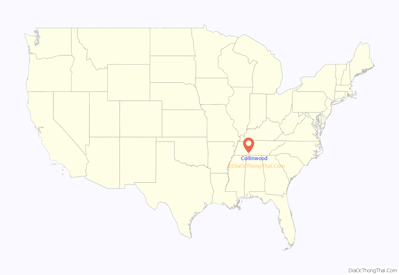
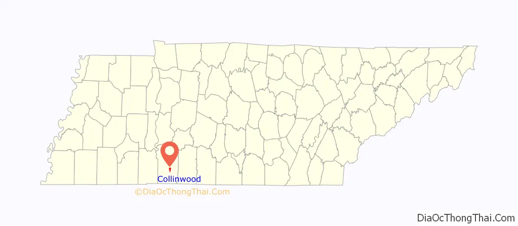
Collinwood location map. Where is Collinwood city?
History
Collinwood was established in 1913 as a stop on the Tennessee Western Railroad, a rail line constructed to serve the area iron industry. The city was named for W.W. Collins, president of the Collinwood Land Company, which platted the city. While the railroad, which intersected the L&N system at Iron City, was originally to extend northward to Hohenwald, plans for extension beyond Collinwood never materialized, and the city became the railroad’s western terminus.
The Collinwood Land Company advertised lots for the new city in June 1913, and by the following year, about 300 people were living in the city. Most of the residents worked for the railroad or in the local lumber industry. During World War I, Collinwood’s economy boomed, and its population swelled to over 2,000. A wood alcohol (methanol) distillation plant and blast furnace were constructed in the years following the war, but as demand for these products fell, the economy collapsed and the city began to decline. The tracks connecting Collinwood with the L&N system were abandoned in the late 1930s.
The Collinwood Railroad Station, built in 1916, still stands near the city of the city, and is listed on the National Register of Historic Places. The station, which mostly follows design patterns typical of L&N depots of the period, is the last major remnant of the area’s railroad history. The station now serves as a library and museum.
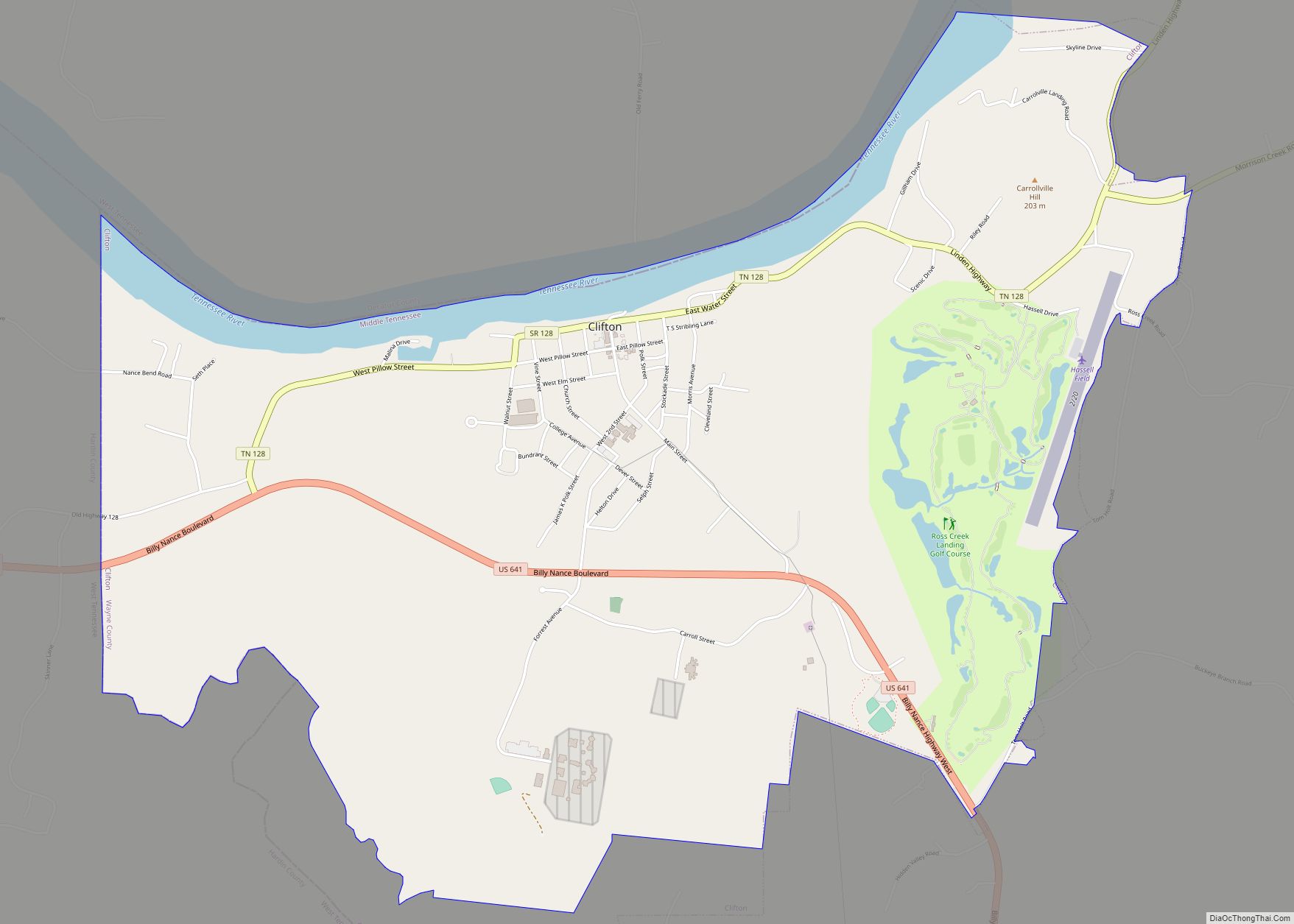
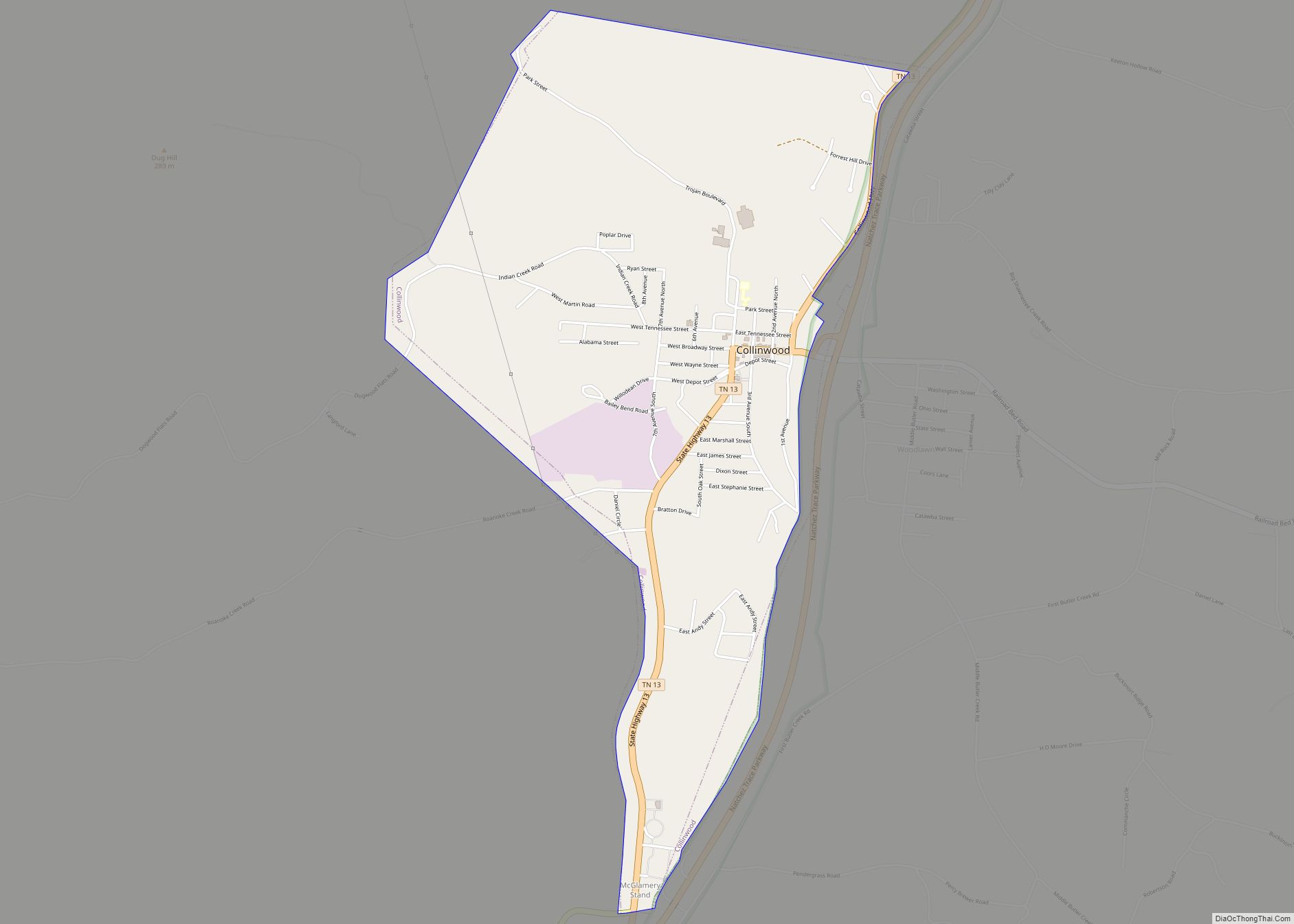
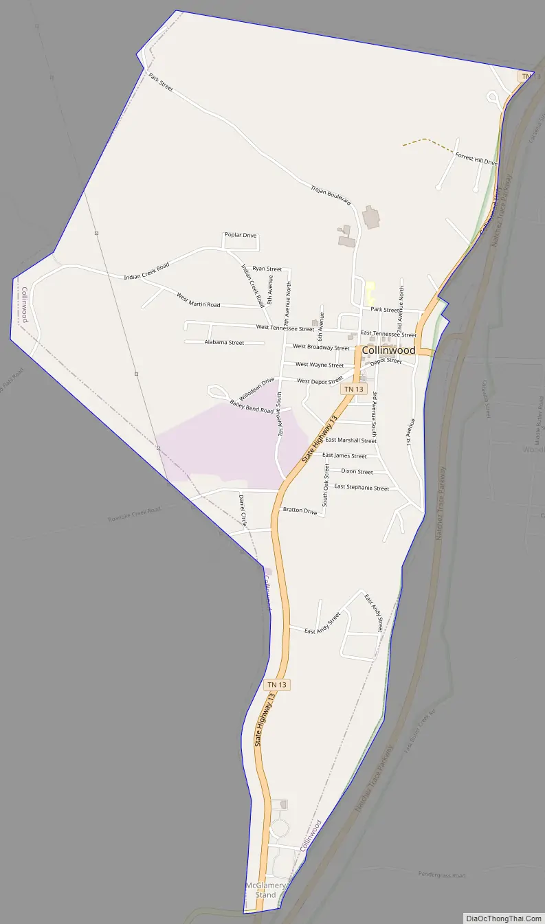
Collinwood Road Map
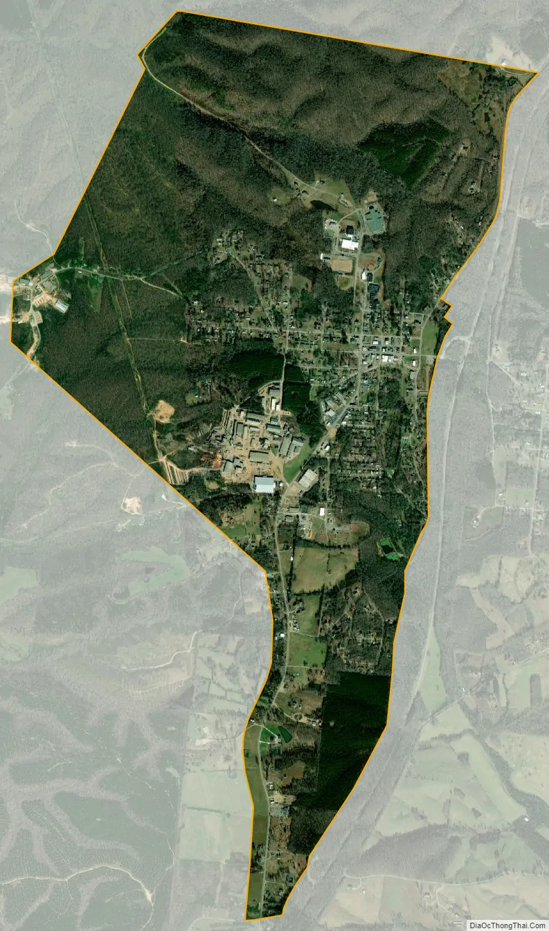
Collinwood city Satellite Map
Geography
Collinwood is located at 35°10′13″N 87°44′34″W / 35.17028°N 87.74278°W / 35.17028; -87.74278 (35.170153, -87.742731). The city is situated on a relatively broad plain surrounded by low hills and hollows. Streams in the eastern part of the city are part of the Shoal Creek watershed, while streams in the western part are tributaries of Indian Creek (both Shoal Creek and Indian Creek empty into the Tennessee River).
Collinwood is concentrated along a stretch of State Route 13, roughly halfway between Waynesboro to the north and the Tennessee-Alabama state line to the south. State Route 203 intersects SR 13 at the southern tip of Collinwood, connecting the city with Savannah to the west. The Natchez Trace Parkway traverses Collinwood from northeast to southwest.
According to the United States Census Bureau, the city has a total area of 2.8 square miles (7.3 km), all of it land.
See also
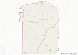
Map of Tennessee State and its subdivision:- Anderson
- Bedford
- Benton
- Bledsoe
- Blount
- Bradley
- Campbell
- Cannon
- Carroll
- Carter
- Cheatham
- Chester
- Claiborne
- Clay
- Cocke
- Coffee
- Crockett
- Cumberland
- Davidson
- Decatur
- DeKalb
- Dickson
- Dyer
- Fayette
- Fentress
- Franklin
- Gibson
- Giles
- Grainger
- Greene
- Grundy
- Hamblen
- Hamilton
- Hancock
- Hardeman
- Hardin
- Hawkins
- Haywood
- Henderson
- Henry
- Hickman
- Houston
- Humphreys
- Jackson
- Jefferson
- Johnson
- Knox
- Lake
- Lauderdale
- Lawrence
- Lewis
- Lincoln
- Loudon
- Macon
- Madison
- Marion
- Marshall
- Maury
- McMinn
- McNairy
- Meigs
- Monroe
- Montgomery
- Moore
- Morgan
- Obion
- Overton
- Perry
- Pickett
- Polk
- Putnam
- Rhea
- Roane
- Robertson
- Rutherford
- Scott
- Sequatchie
- Sevier
- Shelby
- Smith
- Stewart
- Sullivan
- Sumner
- Tipton
- Trousdale
- Unicoi
- Union
- Van Buren
- Warren
- Washington
- Wayne
- Weakley
- White
- Williamson
- Wilson
- Alabama
- Alaska
- Arizona
- Arkansas
- California
- Colorado
- Connecticut
- Delaware
- District of Columbia
- Florida
- Georgia
- Hawaii
- Idaho
- Illinois
- Indiana
- Iowa
- Kansas
- Kentucky
- Louisiana
- Maine
- Maryland
- Massachusetts
- Michigan
- Minnesota
- Mississippi
- Missouri
- Montana
- Nebraska
- Nevada
- New Hampshire
- New Jersey
- New Mexico
- New York
- North Carolina
- North Dakota
- Ohio
- Oklahoma
- Oregon
- Pennsylvania
- Rhode Island
- South Carolina
- South Dakota
- Tennessee
- Texas
- Utah
- Vermont
- Virginia
- Washington
- West Virginia
- Wisconsin
- Wyoming