Fincastle is a census-designated place and unincorporated community in Campbell County, Tennessee, United States. Its population was 1,618 as of the 2010 census.
Once known as Glade Springs, Fincastle was later named for Fincastle, Virginia, which was the original home of many of its early settlers.
| Name: | Fincastle CDP |
|---|---|
| LSAD Code: | 57 |
| LSAD Description: | CDP (suffix) |
| State: | Tennessee |
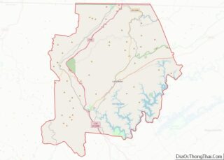
| County: | Campbell County |
| Elevation: | 1,129 ft (344 m) |
| Total Area: | 3.65 sq mi (9.46 km²) |
| Land Area: | 3.65 sq mi (9.46 km²) |
| Water Area: | 0.00 sq mi (0.00 km²) |
| Total Population: | 1,611 |
| Population Density: | 441.01/sq mi (170.28/km²) |
| ZIP code: | 37766 |
| Area code: | 423 |
| FIPS code: | 4726120 |
| GNISfeature ID: | 1284257 |
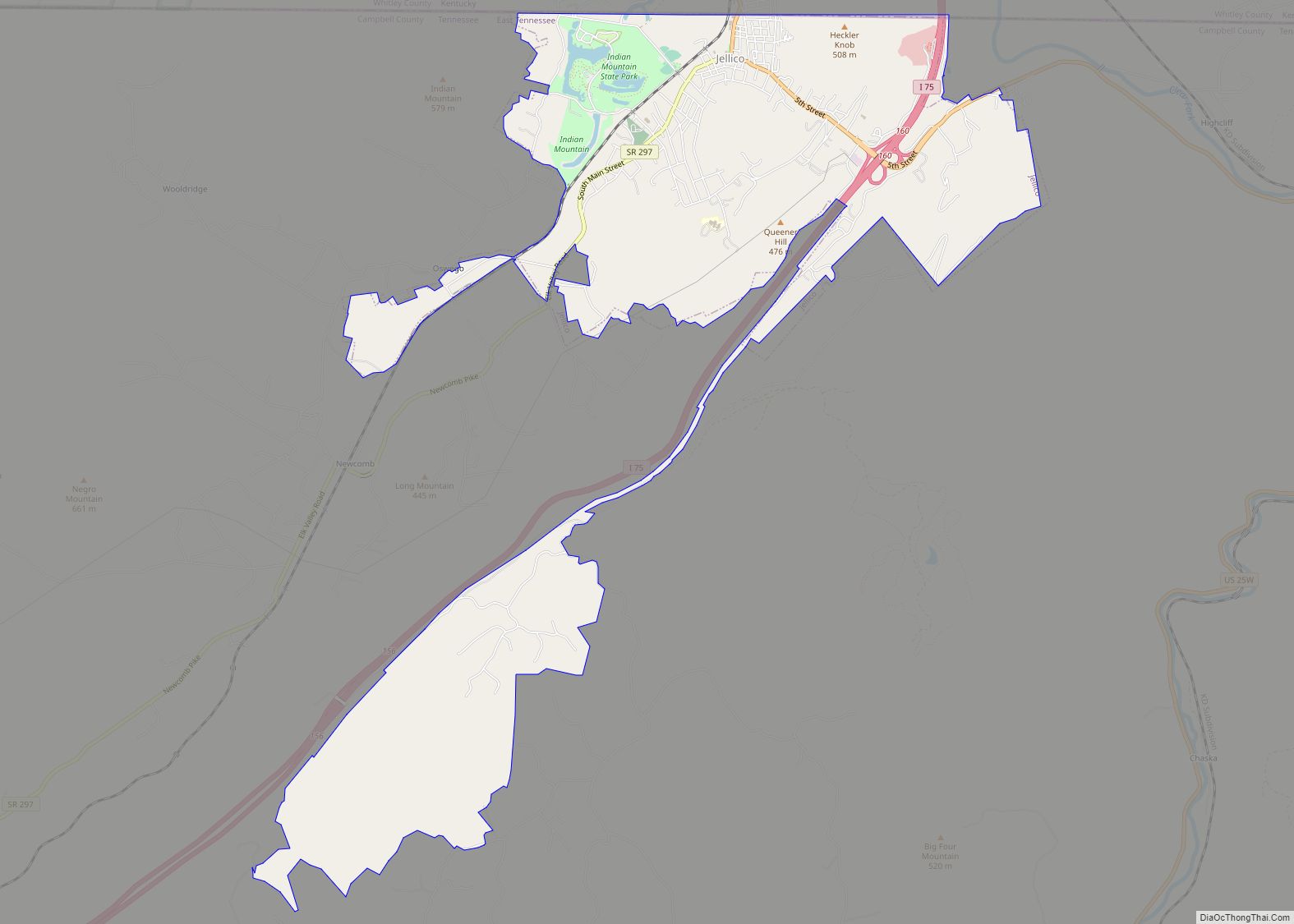
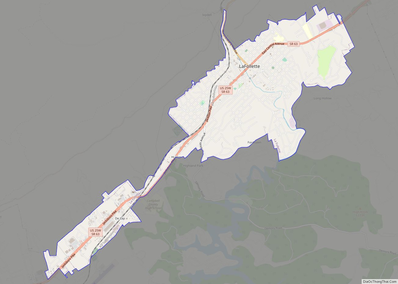
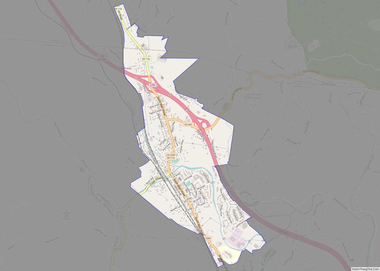
Online Interactive Map
Click on ![]() to view map in "full screen" mode.
to view map in "full screen" mode.
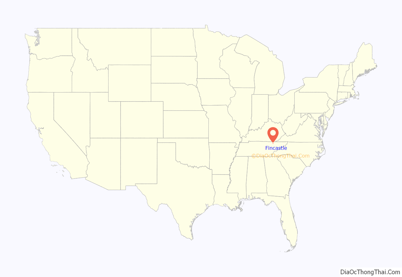
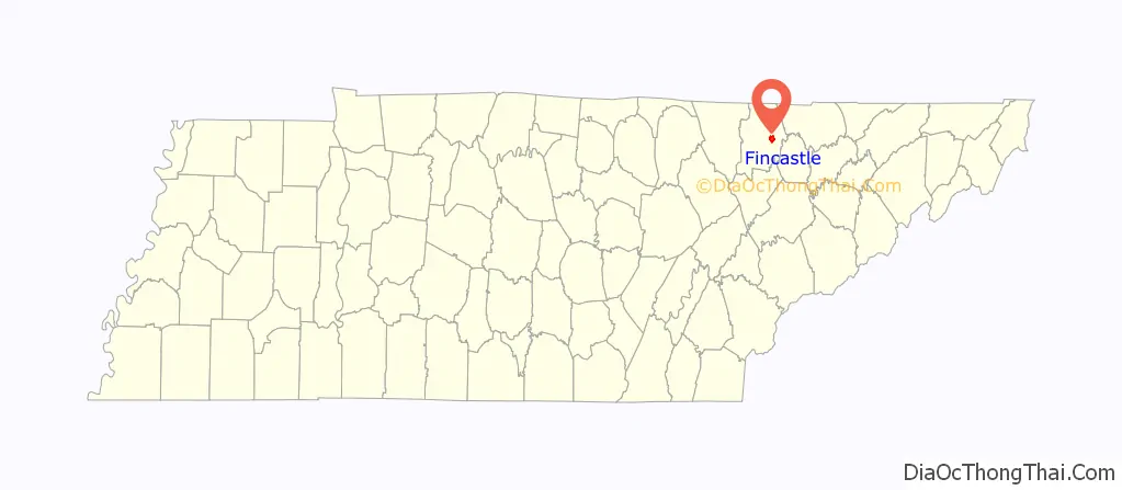
Fincastle location map. Where is Fincastle CDP?
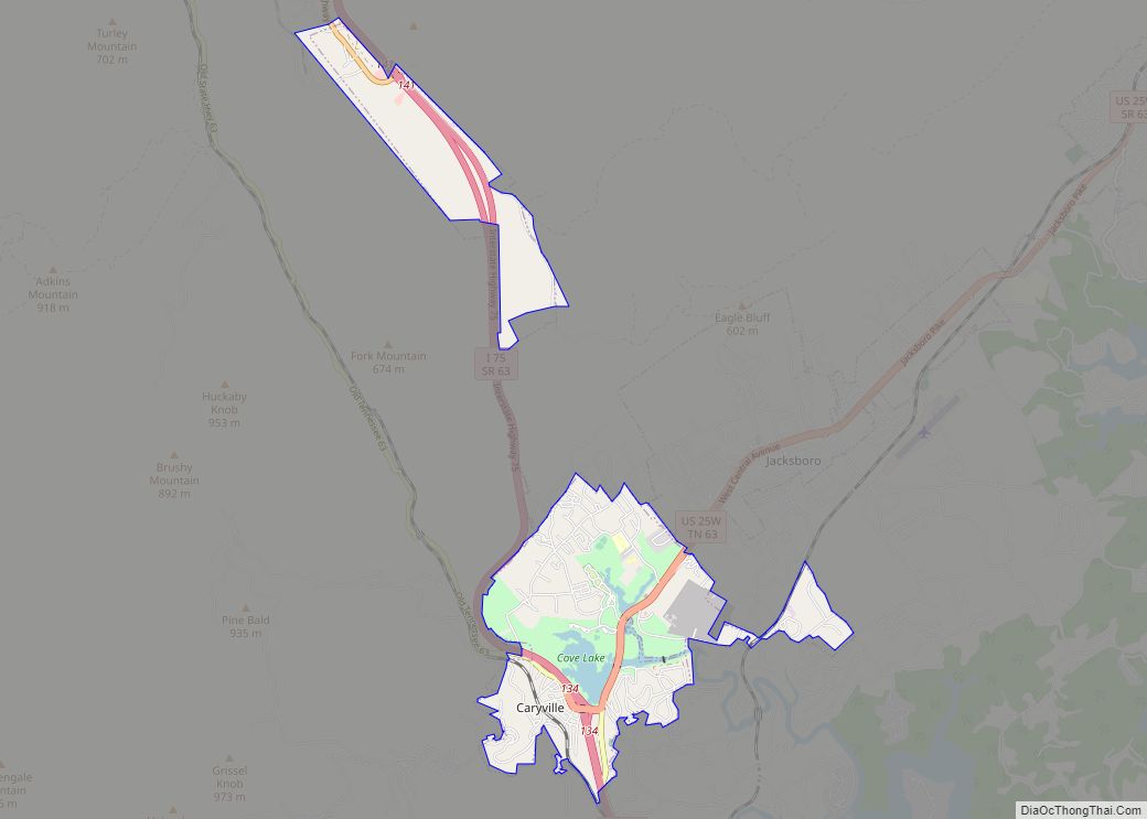
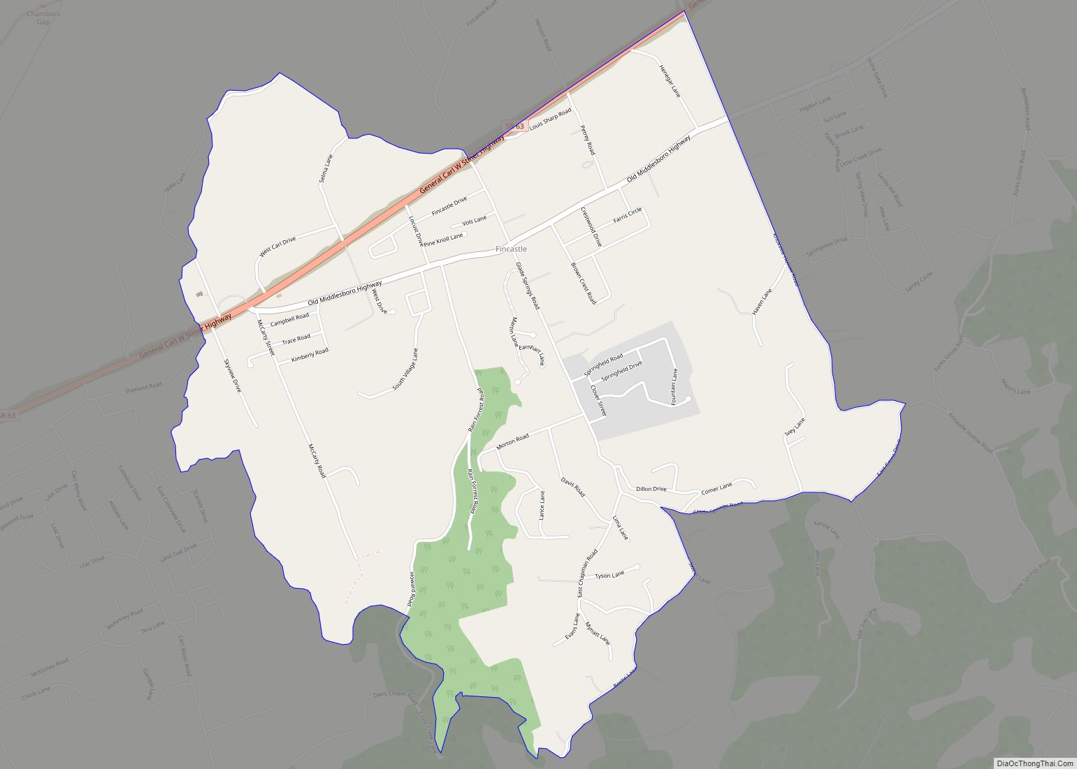
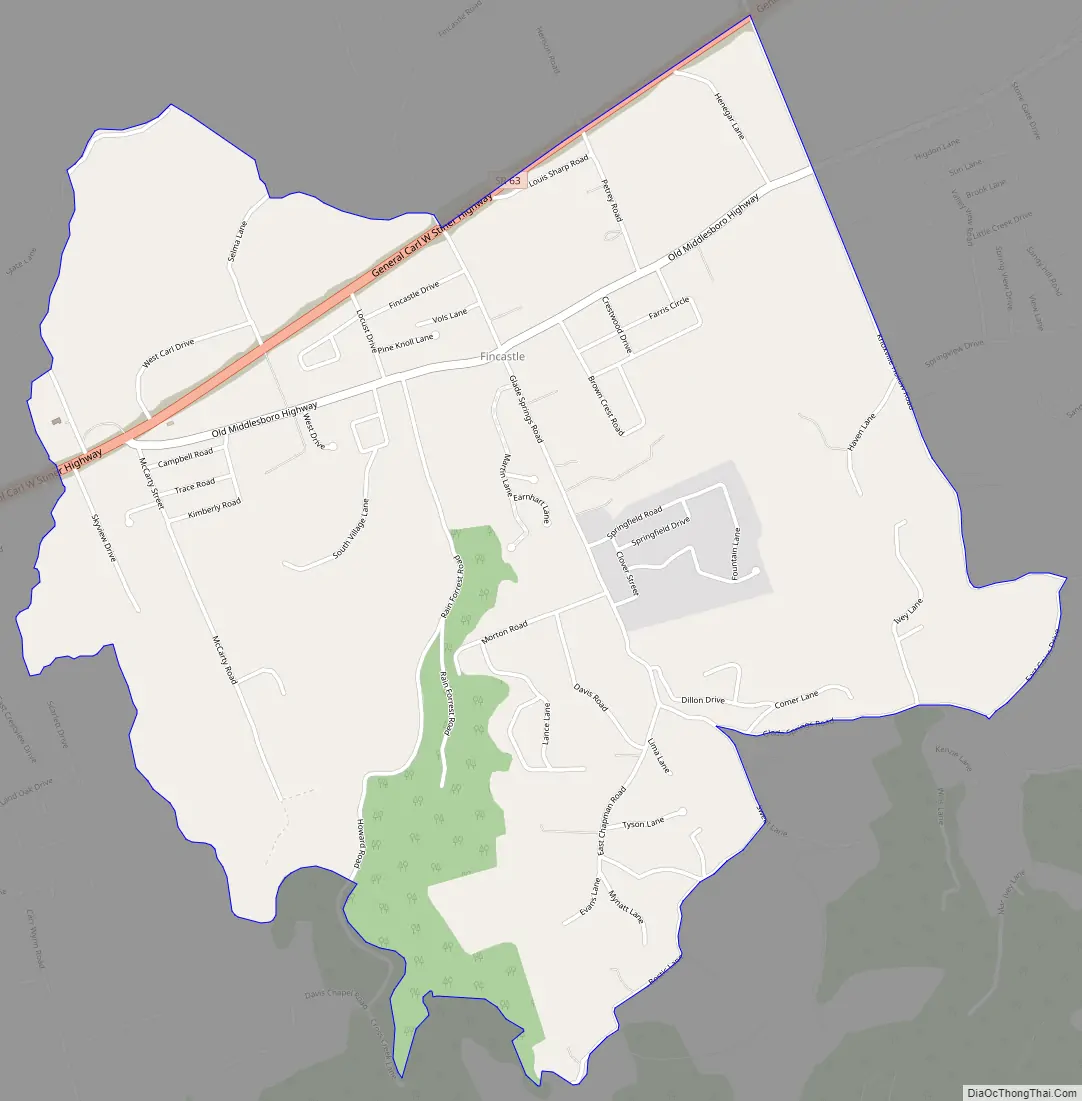
Fincastle Road Map
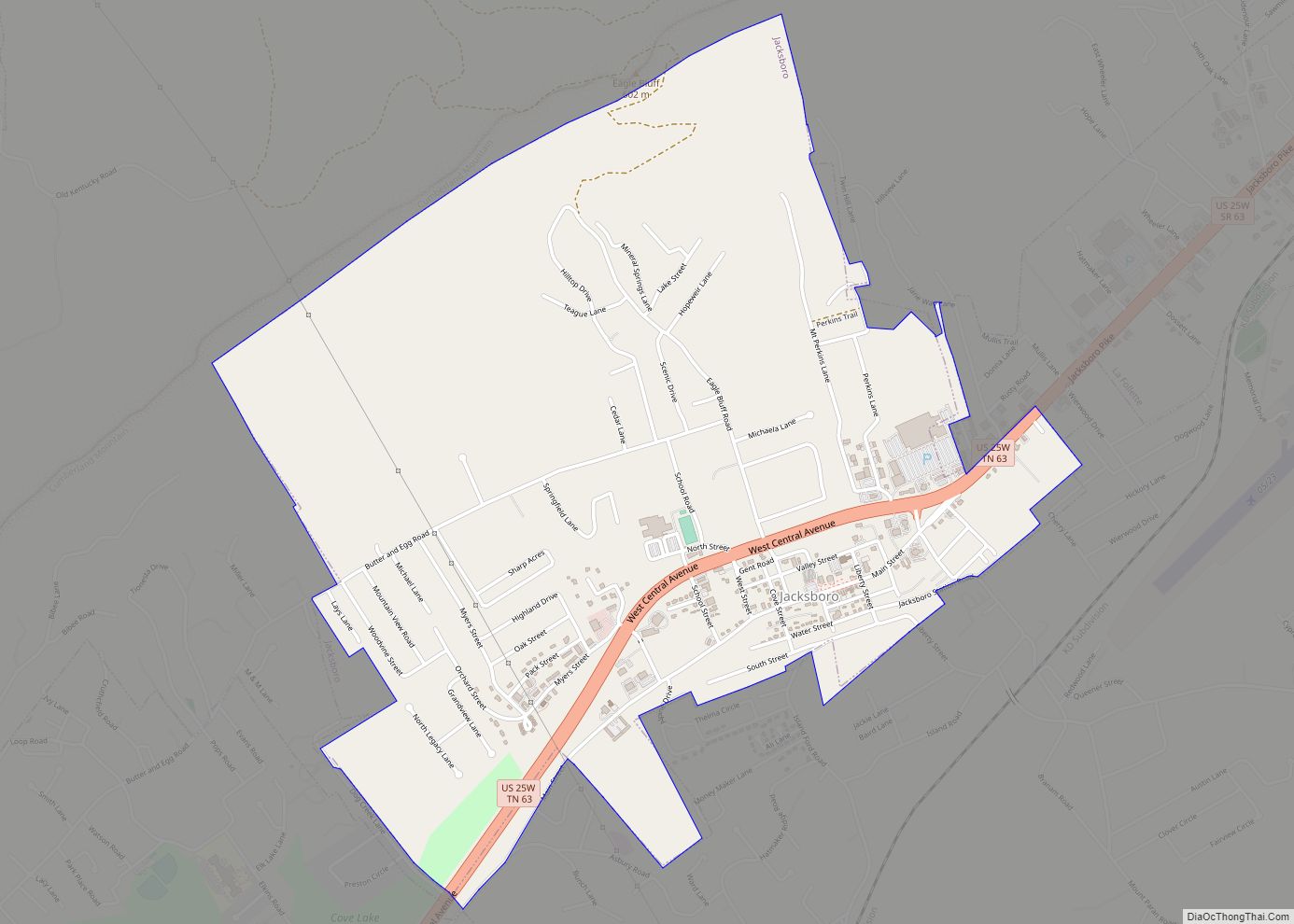
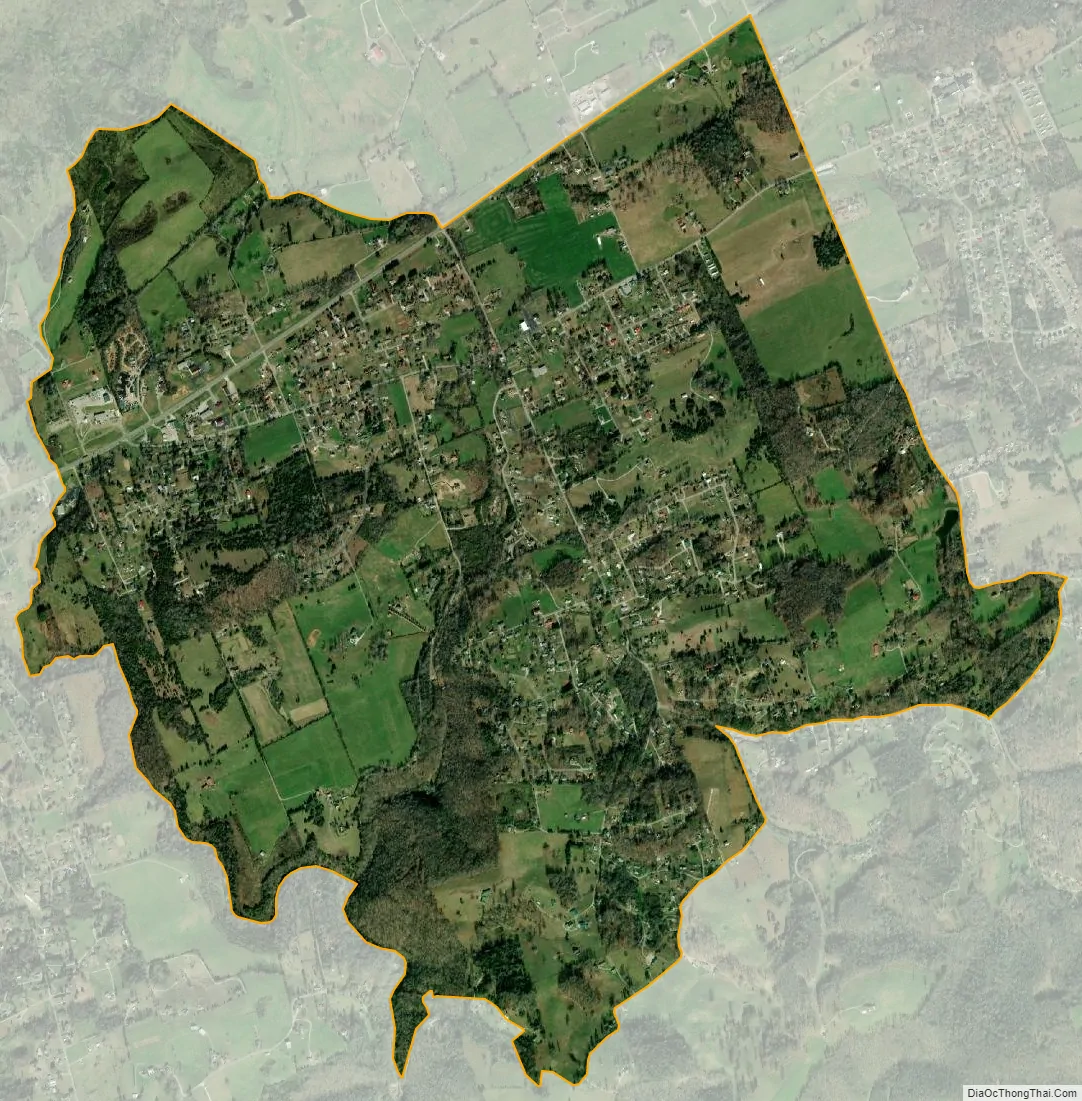
Fincastle city Satellite Map
Geography
Fincastle is located along State Route 63 northeast of LaFollette and southwest of Speedwell in the Powell Valley. Cumberland Mountain rises prominently to the north, and Norris Lake lies a few miles to the south.
See also
Map of Tennessee State and its subdivision:- Anderson
- Bedford
- Benton
- Bledsoe
- Blount
- Bradley
- Campbell
- Cannon
- Carroll
- Carter
- Cheatham
- Chester
- Claiborne
- Clay
- Cocke
- Coffee
- Crockett
- Cumberland
- Davidson
- Decatur
- DeKalb
- Dickson
- Dyer
- Fayette
- Fentress
- Franklin
- Gibson
- Giles
- Grainger
- Greene
- Grundy
- Hamblen
- Hamilton
- Hancock
- Hardeman
- Hardin
- Hawkins
- Haywood
- Henderson
- Henry
- Hickman
- Houston
- Humphreys
- Jackson
- Jefferson
- Johnson
- Knox
- Lake
- Lauderdale
- Lawrence
- Lewis
- Lincoln
- Loudon
- Macon
- Madison
- Marion
- Marshall
- Maury
- McMinn
- McNairy
- Meigs
- Monroe
- Montgomery
- Moore
- Morgan
- Obion
- Overton
- Perry
- Pickett
- Polk
- Putnam
- Rhea
- Roane
- Robertson
- Rutherford
- Scott
- Sequatchie
- Sevier
- Shelby
- Smith
- Stewart
- Sullivan
- Sumner
- Tipton
- Trousdale
- Unicoi
- Union
- Van Buren
- Warren
- Washington
- Wayne
- Weakley
- White
- Williamson
- Wilson
- Alabama
- Alaska
- Arizona
- Arkansas
- California
- Colorado
- Connecticut
- Delaware
- District of Columbia
- Florida
- Georgia
- Hawaii
- Idaho
- Illinois
- Indiana
- Iowa
- Kansas
- Kentucky
- Louisiana
- Maine
- Maryland
- Massachusetts
- Michigan
- Minnesota
- Mississippi
- Missouri
- Montana
- Nebraska
- Nevada
- New Hampshire
- New Jersey
- New Mexico
- New York
- North Carolina
- North Dakota
- Ohio
- Oklahoma
- Oregon
- Pennsylvania
- Rhode Island
- South Carolina
- South Dakota
- Tennessee
- Texas
- Utah
- Vermont
- Virginia
- Washington
- West Virginia
- Wisconsin
- Wyoming