Jamestown is a city in and the county seat of Fentress County, Tennessee, United States. The population of the city was 1,959 at the 2010 census.
| Name: | Jamestown city |
|---|---|
| LSAD Code: | 25 |
| LSAD Description: | city (suffix) |
| State: | Tennessee |
| County: | Fentress County |
| Founded: | 1823 |
| Incorporated: | 1837 |
| Elevation: | 1,716 ft (523 m) |
| Total Area: | 3.11 sq mi (8.07 km²) |
| Land Area: | 3.11 sq mi (8.07 km²) |
| Water Area: | 0.00 sq mi (0.00 km²) |
| Total Population: | 1,935 |
| Population Density: | 621.39/sq mi (239.90/km²) |
| ZIP code: | 38556 |
| Area code: | 931 |
| FIPS code: | 4737780 |
| GNISfeature ID: | 1289287 |
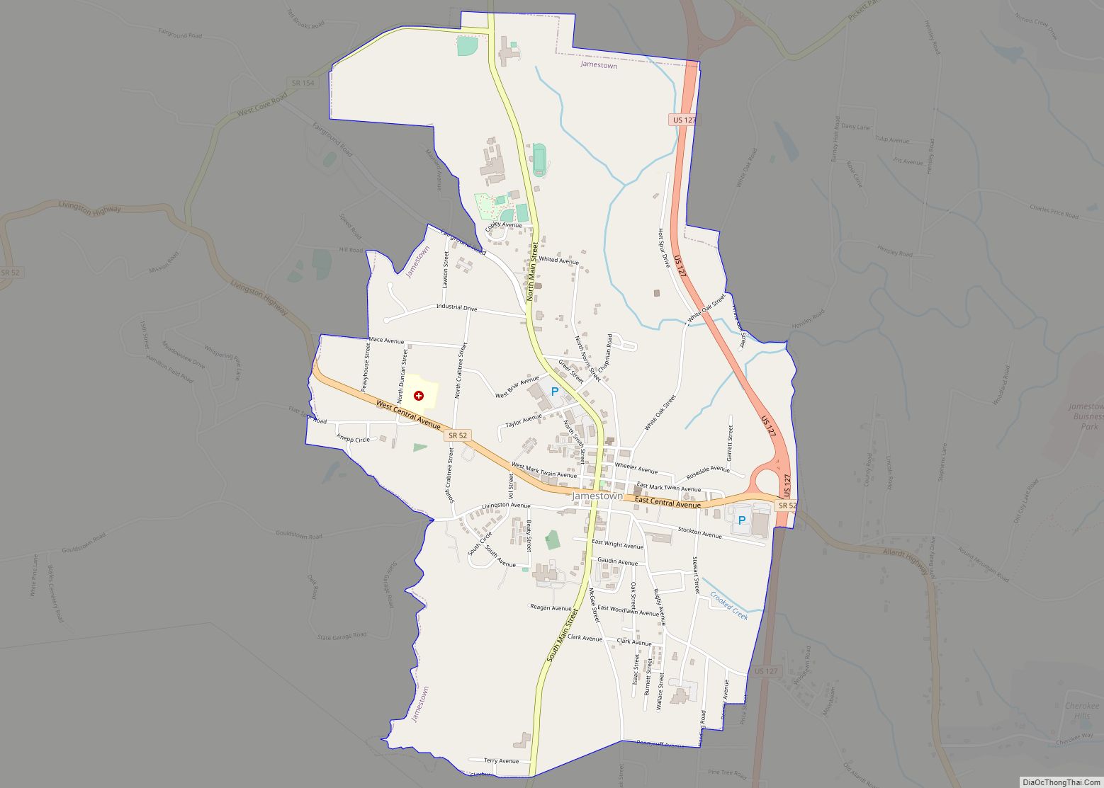
Online Interactive Map
Click on ![]() to view map in "full screen" mode.
to view map in "full screen" mode.
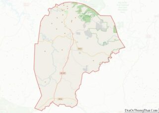
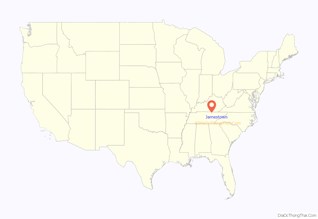
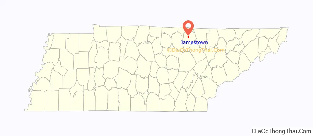
Jamestown location map. Where is Jamestown city?
History
Jamestown was established in 1823 as a county seat for Fentress County. It was incorporated as a city in 1837. Both Fentress County and Jamestown are named for prominent local politician James Fentress (1763–1843), who made the appeal for the new county to be carved out of Overton and Morgan counties.
Jamestown was built upon the site of a semi-permanent Cherokee village, which probably made use of the many natural rock shelters in the area. Before the founding of Jamestown, the area was known as “Sand Springs” for the many bubbling springs located within the city. The last remaining spring is located in the Mark Twain City Park, just northeast of the county courthouse. This spring provided water to the family of John M. Clemens, father of noted author Samuel L. Clemens (Mark Twain), before they moved to Missouri. John Clemens served as the first circuit court clerk. He also drew the plans for the first courthouse and jail.
During the American Civil War, Fentress County provided four companies for the Confederate Army and three for the Union Army. The notorious “Tinker Dave” Beaty formed his Union scout company in Fentress County to battle with the pro-Confederate guerrilla’s led by Champ Ferguson. Neither of these companies were ever mustered into the armies they supported, and they spent most of their time fighting each other.
World War I hero Sgt. Alvin C. York was born and raised in Fentress County. He built the Alvin C. York Agricultural Institute, a high school in Jamestown. It is one of four state-funded schools in Tennessee.
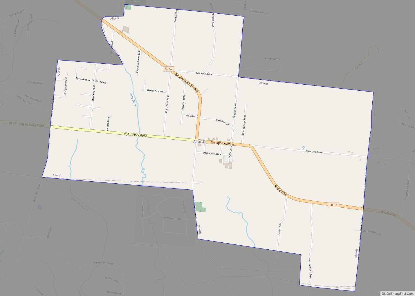
Jamestown Road Map
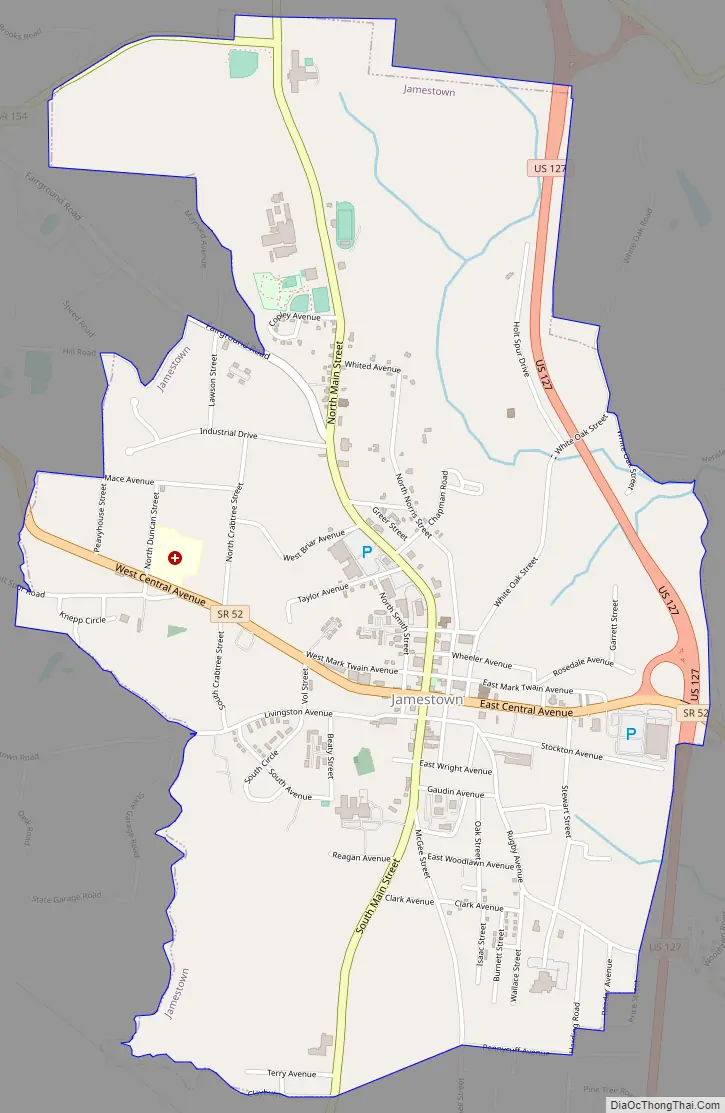
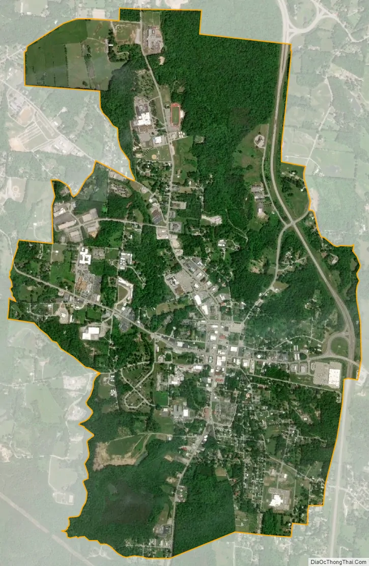
Jamestown city Satellite Map
Geography
Jamestown is located at 36°25′45″N 84°55′57″W / 36.42917°N 84.93250°W / 36.42917; -84.93250 (36.429082, -84.932414). The city is located along the western edge of the Cumberland Plateau near the center of Fentress County. Streams in the eastern part of the city are part of the Big South Fork of the Cumberland River watershed, while streams in the western part of the city flow into the upper Obey River watershed.
Jamestown is situated at the intersection of U.S. Route 127, which connects the city with Crossville to the south and Kentucky to the north, and State Route 52, which connects the city with Livingston to the west and Allardt to the southeast. State Route 154 connects the Jamestown area with Pickett State Park to the northeast.
According to the United States Census Bureau, the city has a total area of 2.9 square miles (7.5 km), all land.
See also
Map of Tennessee State and its subdivision:- Anderson
- Bedford
- Benton
- Bledsoe
- Blount
- Bradley
- Campbell
- Cannon
- Carroll
- Carter
- Cheatham
- Chester
- Claiborne
- Clay
- Cocke
- Coffee
- Crockett
- Cumberland
- Davidson
- Decatur
- DeKalb
- Dickson
- Dyer
- Fayette
- Fentress
- Franklin
- Gibson
- Giles
- Grainger
- Greene
- Grundy
- Hamblen
- Hamilton
- Hancock
- Hardeman
- Hardin
- Hawkins
- Haywood
- Henderson
- Henry
- Hickman
- Houston
- Humphreys
- Jackson
- Jefferson
- Johnson
- Knox
- Lake
- Lauderdale
- Lawrence
- Lewis
- Lincoln
- Loudon
- Macon
- Madison
- Marion
- Marshall
- Maury
- McMinn
- McNairy
- Meigs
- Monroe
- Montgomery
- Moore
- Morgan
- Obion
- Overton
- Perry
- Pickett
- Polk
- Putnam
- Rhea
- Roane
- Robertson
- Rutherford
- Scott
- Sequatchie
- Sevier
- Shelby
- Smith
- Stewart
- Sullivan
- Sumner
- Tipton
- Trousdale
- Unicoi
- Union
- Van Buren
- Warren
- Washington
- Wayne
- Weakley
- White
- Williamson
- Wilson
- Alabama
- Alaska
- Arizona
- Arkansas
- California
- Colorado
- Connecticut
- Delaware
- District of Columbia
- Florida
- Georgia
- Hawaii
- Idaho
- Illinois
- Indiana
- Iowa
- Kansas
- Kentucky
- Louisiana
- Maine
- Maryland
- Massachusetts
- Michigan
- Minnesota
- Mississippi
- Missouri
- Montana
- Nebraska
- Nevada
- New Hampshire
- New Jersey
- New Mexico
- New York
- North Carolina
- North Dakota
- Ohio
- Oklahoma
- Oregon
- Pennsylvania
- Rhode Island
- South Carolina
- South Dakota
- Tennessee
- Texas
- Utah
- Vermont
- Virginia
- Washington
- West Virginia
- Wisconsin
- Wyoming