Jasper is a town in and the county seat of Marion County, Tennessee, United States. The population was 3,612 at the 2020 census. The town was formed in 1820 from lands acquired from Betsy Pack (1770–1851), daughter of Cherokee Chief John Lowery. Jasper is part of the Chattanooga, TN–GA Metropolitan Statistical Area.
| Name: | Jasper town |
|---|---|
| LSAD Code: | 43 |
| LSAD Description: | town (suffix) |
| State: | Tennessee |
| County: | Marion County |
| Founded: | 1820 |
| Incorporated: | 1959 |
| Elevation: | 620 ft (190 m) |
| Total Area: | 9.96 sq mi (25.78 km²) |
| Land Area: | 9.85 sq mi (25.50 km²) |
| Water Area: | 0.11 sq mi (0.28 km²) |
| Total Population: | 3,612 |
| Population Density: | 366.85/sq mi (141.64/km²) |
| ZIP code: | 37347 |
| Area code: | 423 |
| FIPS code: | 4737820 |
| GNISfeature ID: | 1289309 |
| Website: | www.jasper-tn.com |
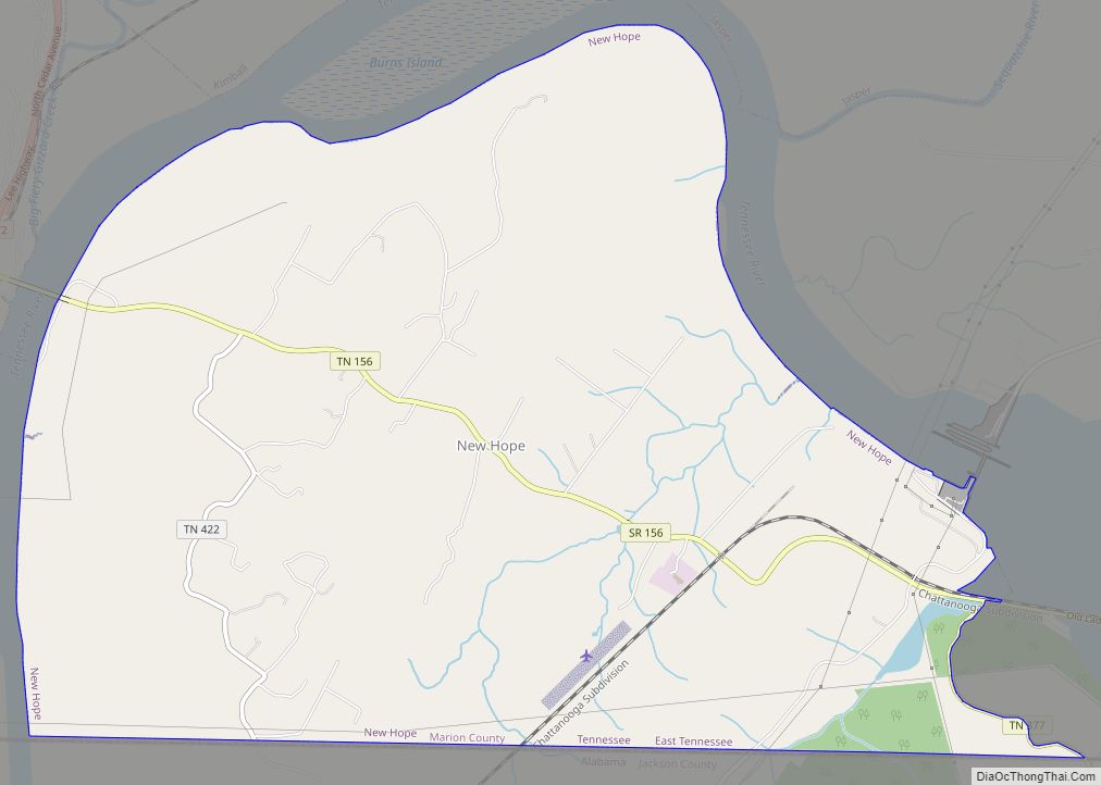
Online Interactive Map
Click on ![]() to view map in "full screen" mode.
to view map in "full screen" mode.
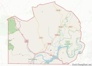
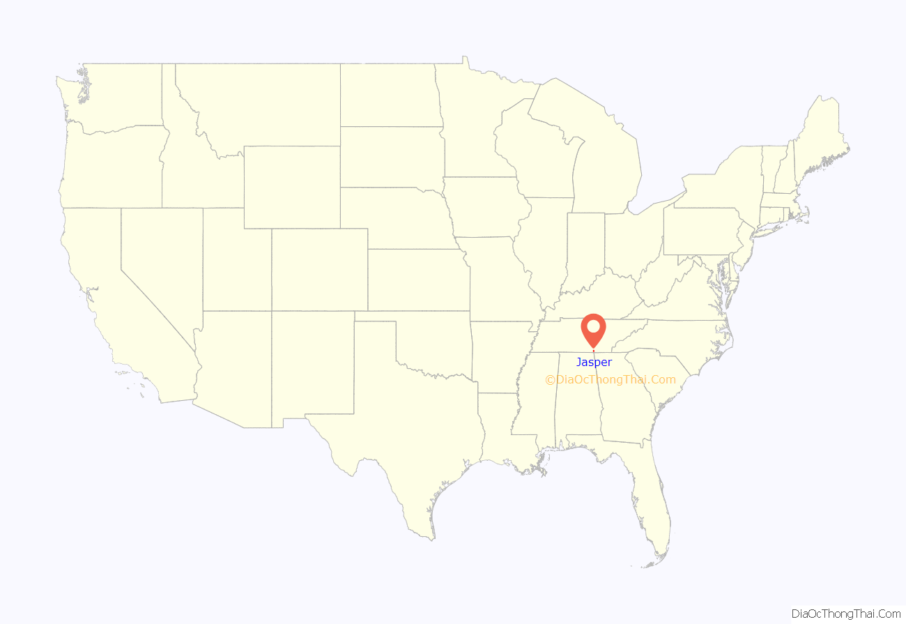
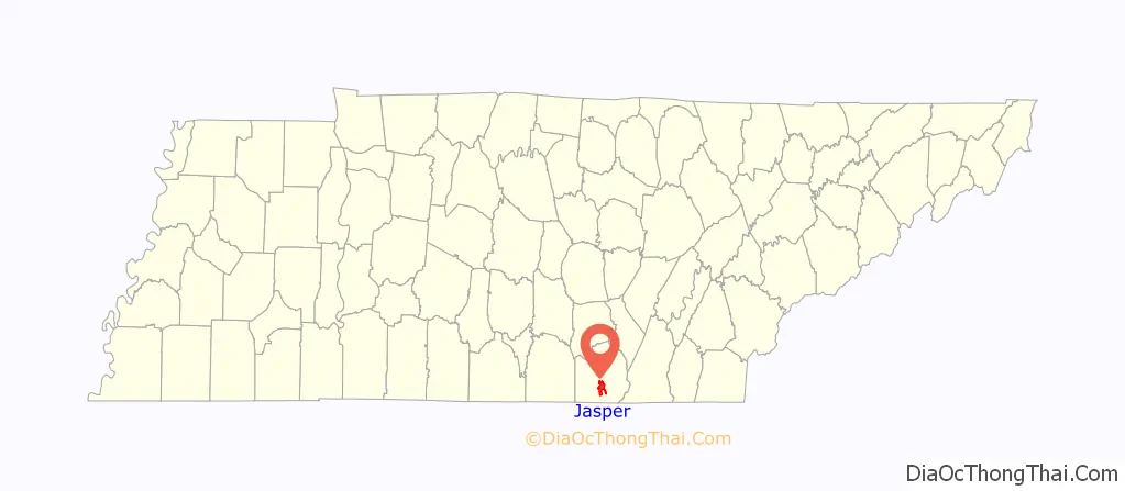
Jasper location map. Where is Jasper town?
History
Jasper is named for William Jasper, a Revolutionary War hero from South Carolina.
Jasper was formed from land leased for $1 from Elizabeth aka “Betsy” Pack, daughter of Chief John Lowery and beloved Cherokee Woman Nannie Watts. Her descendants and friends of the family gather on a semi-annual basis to place flowers at the courthouse marker. The town’s primary north-south street, which follows a section of Tennessee State Route 150, has been named in honor of Pack.
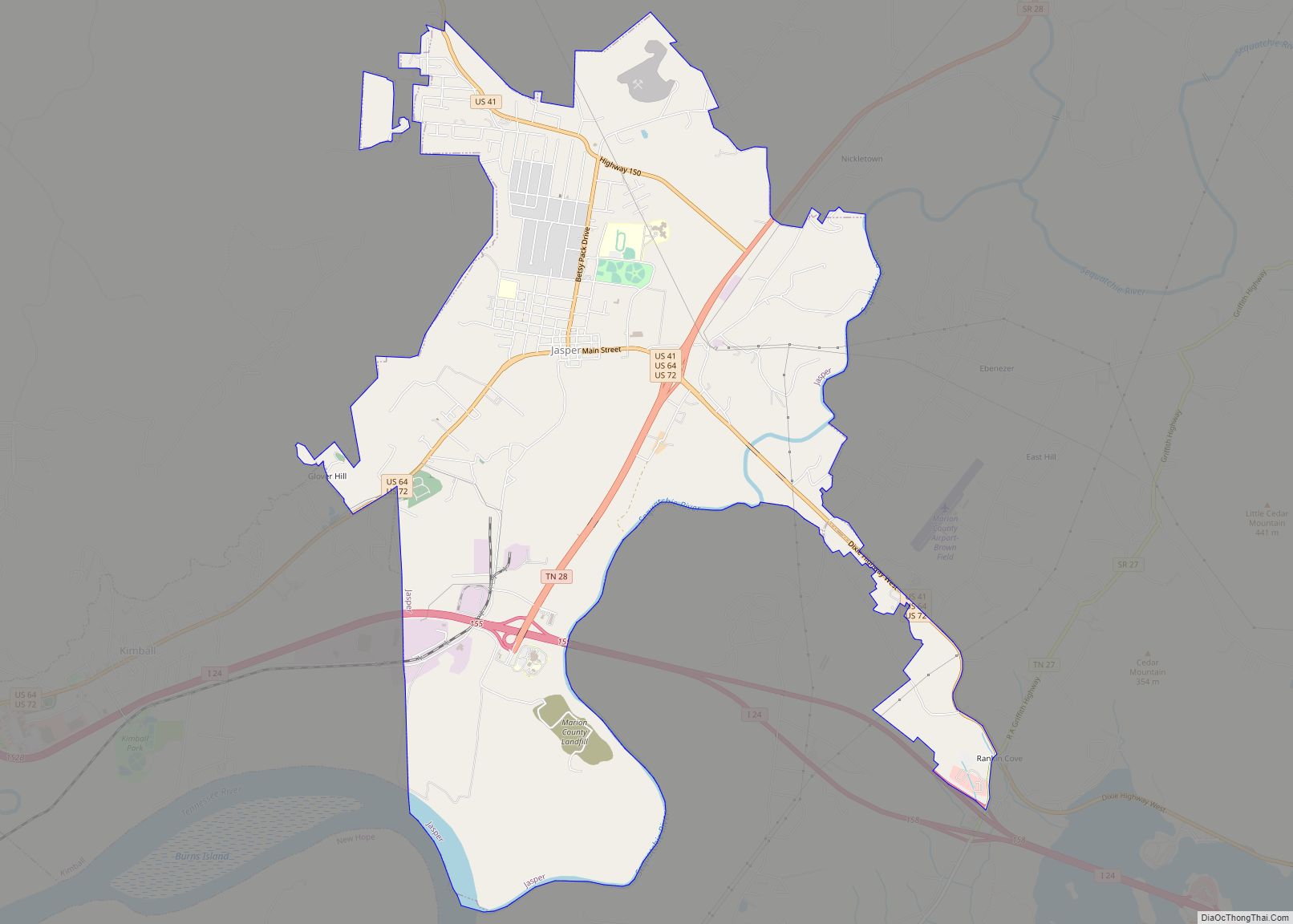
Jasper Road Map
Jasper city Satellite Map
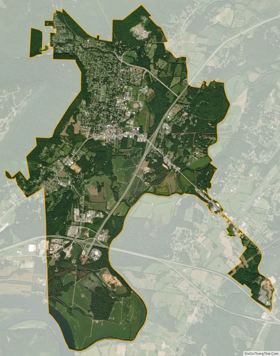
Geography
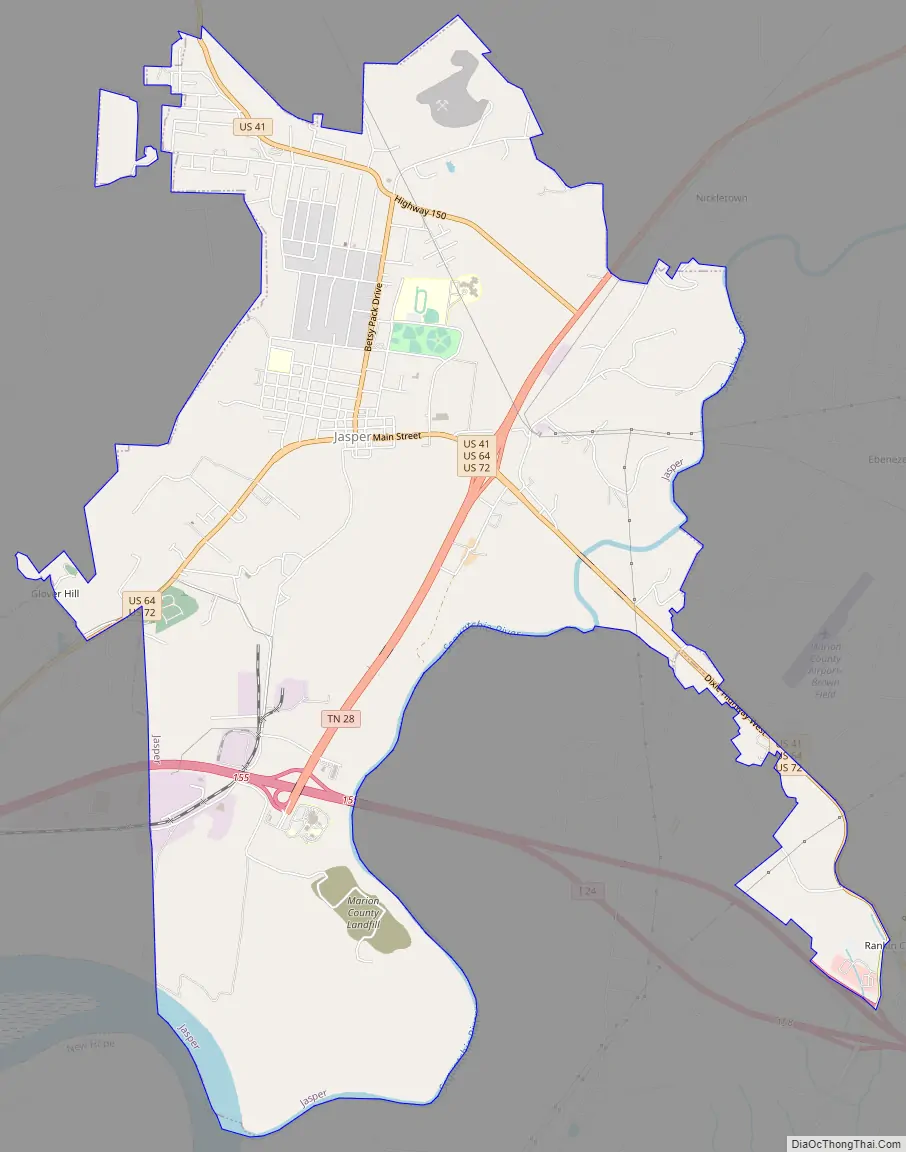
According to the United States Census Bureau, the town has a total area of 9.2 square miles (24 km), of which 9.0 square miles (23 km) is land and 0.1 square miles (0.26 km) (1.42%) is water. The town lies in the southwestern Sequatchie Valley in a relatively flat area surrounded by steep escarpments of the Cumberland Plateau on the north and west, low hills on the east, and Guntersville Lake (part of the Tennessee River) on the south. The Sequatchie River flows just east of the town, and empties into the Tennessee River at the town’s southeastern boundary. Kimball borders Jasper to the southwest.
Jasper’s courthouse square lies at the intersection of U.S. Route 72 (Main Street) and Tennessee State Route 150 (Betsy Pack Drive). US-72 (which runs concurrently with U.S. Route 64 and U.S. Route 41 in Jasper) connects the town with Chattanooga to the southeast and Kimball, South Pittsburg, and Alabama to the southwest. State Route 150 connects Jasper with the Grundy County area atop the Plateau to the northwest. Tennessee State Route 28, part of the primary north-south corridor in the Sequatchie Valley, intersects US-72 in southeastern Jasper. Interstate 24 passes through Jasper’s southern outskirts.
See also
Map of Tennessee State and its subdivision:- Anderson
- Bedford
- Benton
- Bledsoe
- Blount
- Bradley
- Campbell
- Cannon
- Carroll
- Carter
- Cheatham
- Chester
- Claiborne
- Clay
- Cocke
- Coffee
- Crockett
- Cumberland
- Davidson
- Decatur
- DeKalb
- Dickson
- Dyer
- Fayette
- Fentress
- Franklin
- Gibson
- Giles
- Grainger
- Greene
- Grundy
- Hamblen
- Hamilton
- Hancock
- Hardeman
- Hardin
- Hawkins
- Haywood
- Henderson
- Henry
- Hickman
- Houston
- Humphreys
- Jackson
- Jefferson
- Johnson
- Knox
- Lake
- Lauderdale
- Lawrence
- Lewis
- Lincoln
- Loudon
- Macon
- Madison
- Marion
- Marshall
- Maury
- McMinn
- McNairy
- Meigs
- Monroe
- Montgomery
- Moore
- Morgan
- Obion
- Overton
- Perry
- Pickett
- Polk
- Putnam
- Rhea
- Roane
- Robertson
- Rutherford
- Scott
- Sequatchie
- Sevier
- Shelby
- Smith
- Stewart
- Sullivan
- Sumner
- Tipton
- Trousdale
- Unicoi
- Union
- Van Buren
- Warren
- Washington
- Wayne
- Weakley
- White
- Williamson
- Wilson
- Alabama
- Alaska
- Arizona
- Arkansas
- California
- Colorado
- Connecticut
- Delaware
- District of Columbia
- Florida
- Georgia
- Hawaii
- Idaho
- Illinois
- Indiana
- Iowa
- Kansas
- Kentucky
- Louisiana
- Maine
- Maryland
- Massachusetts
- Michigan
- Minnesota
- Mississippi
- Missouri
- Montana
- Nebraska
- Nevada
- New Hampshire
- New Jersey
- New Mexico
- New York
- North Carolina
- North Dakota
- Ohio
- Oklahoma
- Oregon
- Pennsylvania
- Rhode Island
- South Carolina
- South Dakota
- Tennessee
- Texas
- Utah
- Vermont
- Virginia
- Washington
- West Virginia
- Wisconsin
- Wyoming