Whitwell is a city in Marion County, Tennessee, United States, approximately 24 miles northwest of Chattanooga. The population was 1,641 at the 2020 census. It is part of the Chattanooga, TN–GA Metropolitan Statistical Area.
| Name: | Whitwell city |
|---|---|
| LSAD Code: | 25 |
| LSAD Description: | city (suffix) |
| State: | Tennessee |
| County: | Marion County |
| Incorporated: | 1956 |
| Elevation: | 679 ft (207 m) |
| Total Area: | 3.51 sq mi (9.09 km²) |
| Land Area: | 3.51 sq mi (9.09 km²) |
| Water Area: | 0.00 sq mi (0.01 km²) |
| Total Population: | 1,641 |
| Population Density: | 467.65/sq mi (180.57/km²) |
| ZIP code: | 37397 |
| Area code: | 423 |
| FIPS code: | 4780620 |
| GNISfeature ID: | 1304575 |
| Website: | cityofwhitwell.com |
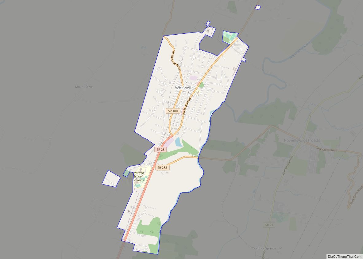
Online Interactive Map
Click on ![]() to view map in "full screen" mode.
to view map in "full screen" mode.
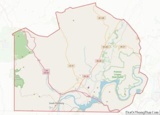
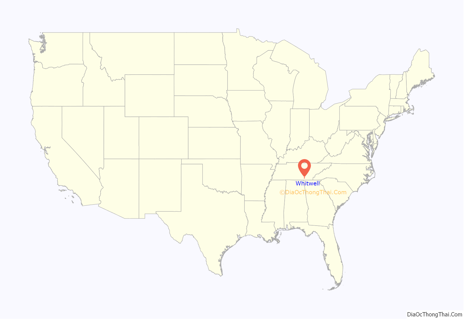
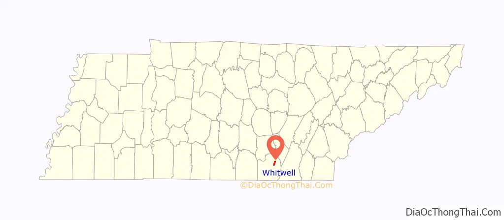
Whitwell location map. Where is Whitwell city?
History
The town that became Whitwell was originally known as Cheekville, but renamed “Whitwell” for Thomas Whitwell, a British metallurgist, inventor and co-founder of the Southern States Coal, Iron and Land Company, who was killed in an accident in his own ironworks in Thornaby in 1878. Whitwell was incorporated as a city in 1956, having grown as a mining town due to the abundance of coal in the mountains near the town. In 1981, there was a major mining accident when 13 coal miners were killed in an explosion. A full list of the names of those killed in the mine explosion is on a monument at Whitwell High School. Whitwell also has an annual Labor Day celebration that has been celebrated for over 50 consecutive years.
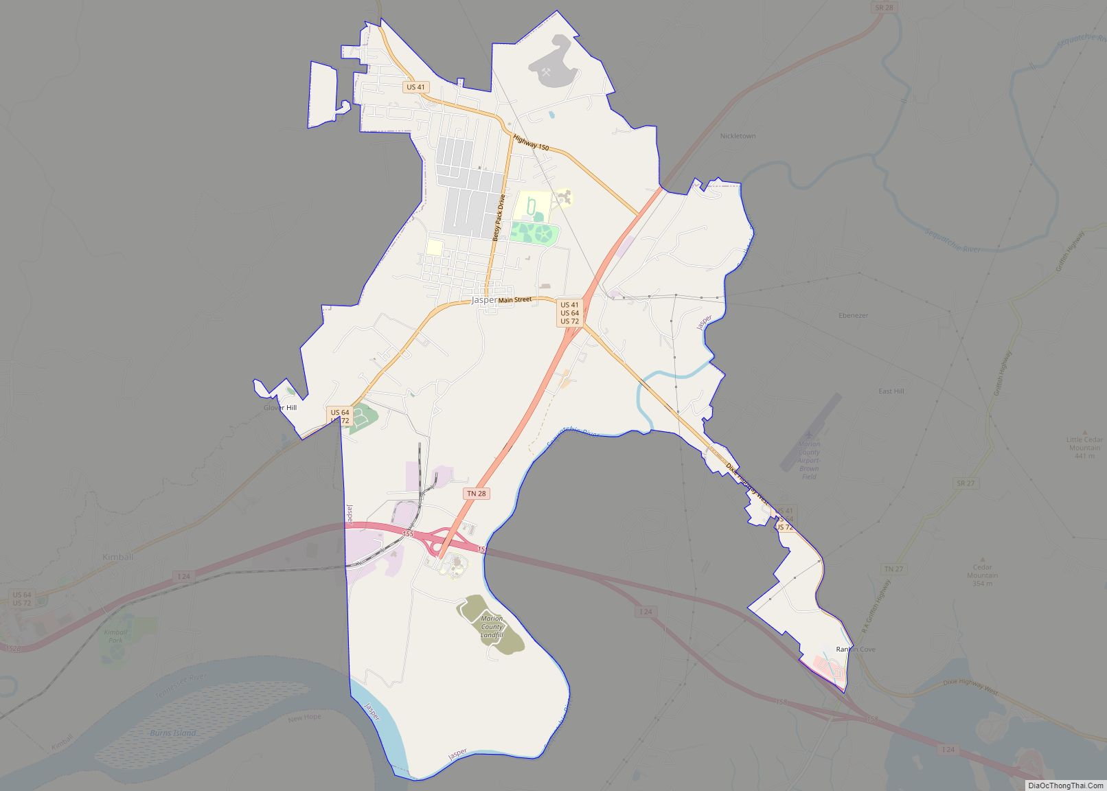
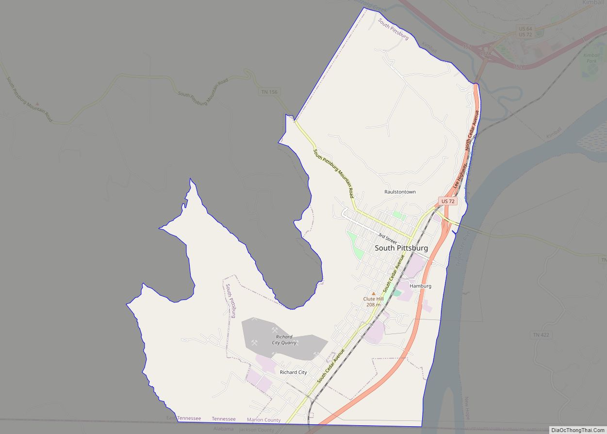
Whitwell Road Map
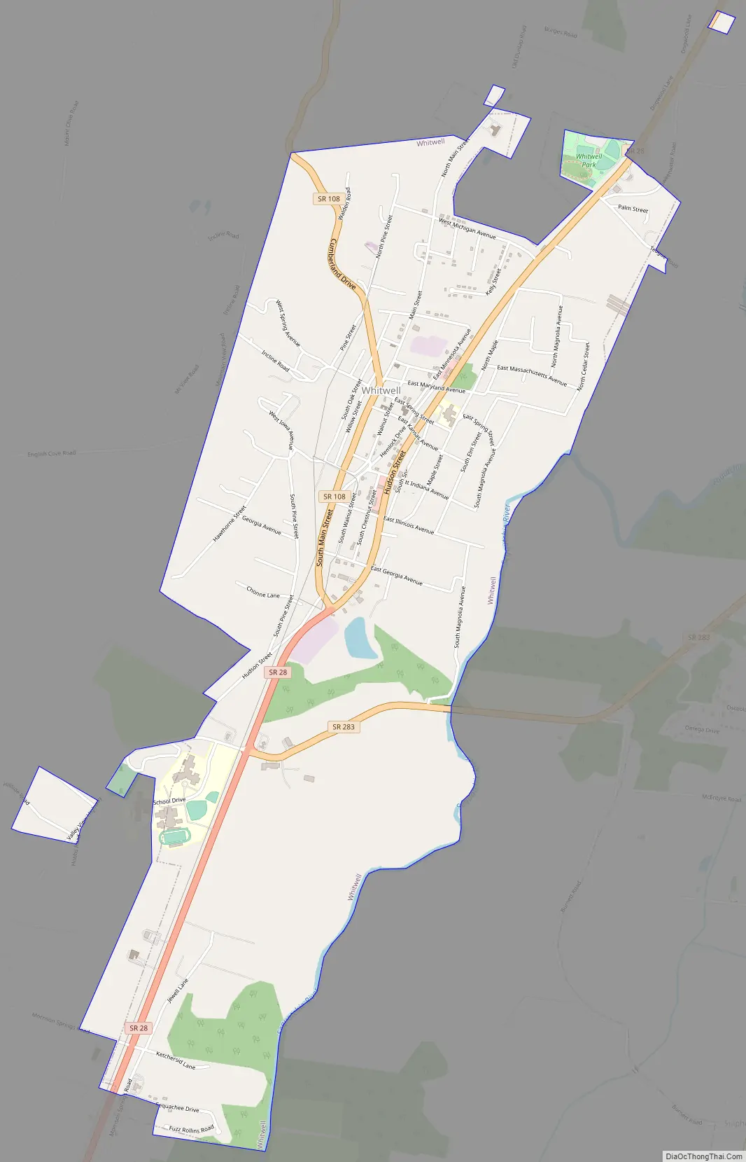
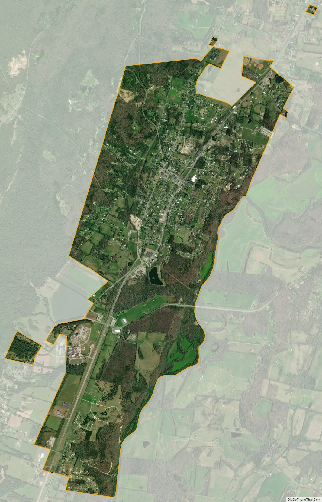
Whitwell city Satellite Map
Geography
Whitwell is located at 35°11′51″N 85°31′9″W / 35.19750°N 85.51917°W / 35.19750; -85.51917 (35.197570, -85.519082). It is situated in the southwestern Sequatchie Valley at the base of a relatively steep escarpment of the Cumberland Plateau. The Sequatchie River passes just east of the city, and forms a portion of its southeastern boundary.
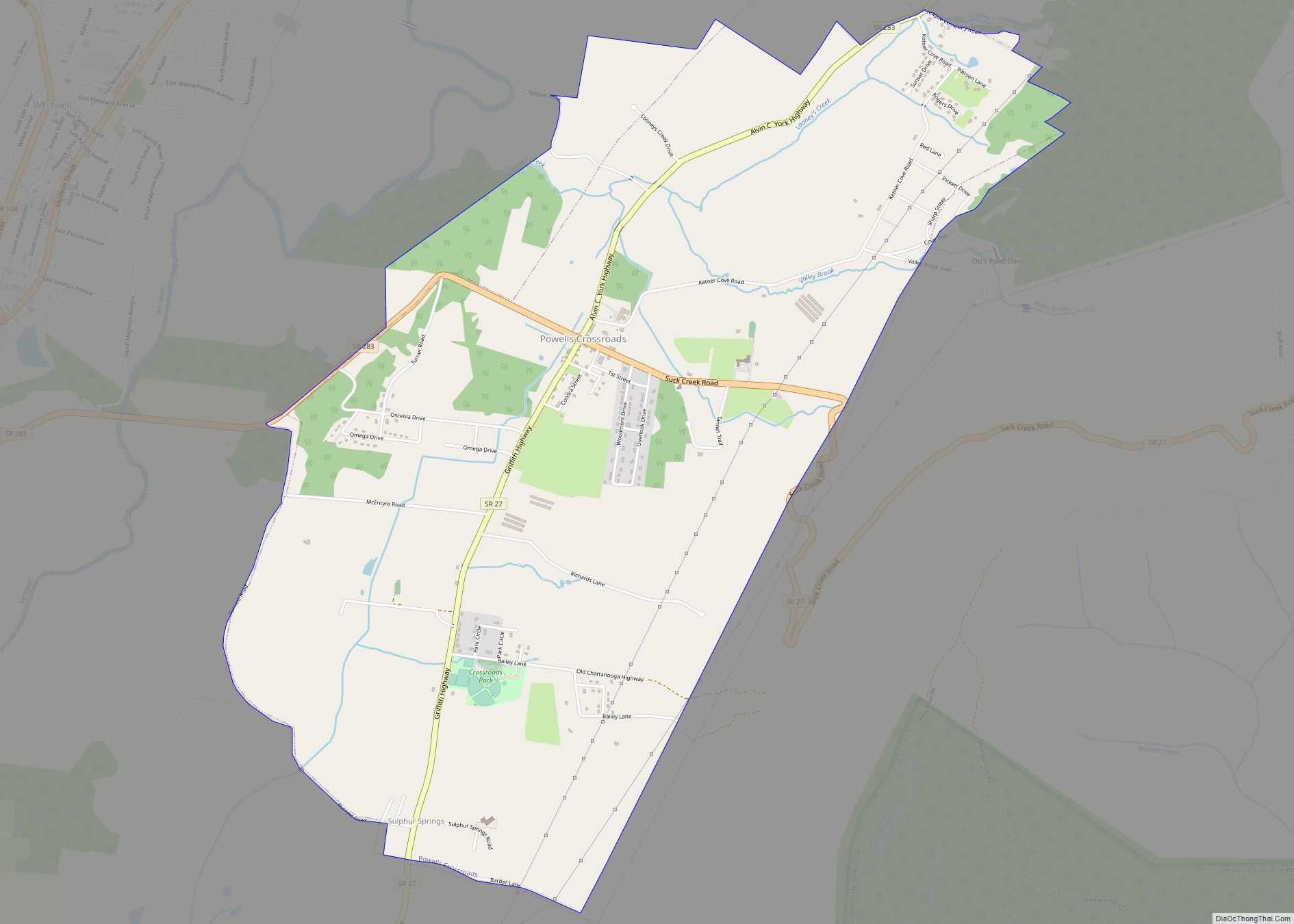
Tennessee State Route 28 (Hudson Street), which forms part of the main north–south corridor in the valley, connects Whitwell with Dunlap to the north and Jasper to the south. State Route 283 connects Whitwell with Powells Crossroads across the Sequatchie river to the east, and State Route 108 (South Main Street) connects Whitwell with Grundy County atop the Plateau to the northwest.
According to the United States Census Bureau, the city has a total area of 3.3 square miles (8.5 km), of which 3.3 square miles (8.5 km) is land and 0.30% is water.
See also
Map of Tennessee State and its subdivision:- Anderson
- Bedford
- Benton
- Bledsoe
- Blount
- Bradley
- Campbell
- Cannon
- Carroll
- Carter
- Cheatham
- Chester
- Claiborne
- Clay
- Cocke
- Coffee
- Crockett
- Cumberland
- Davidson
- Decatur
- DeKalb
- Dickson
- Dyer
- Fayette
- Fentress
- Franklin
- Gibson
- Giles
- Grainger
- Greene
- Grundy
- Hamblen
- Hamilton
- Hancock
- Hardeman
- Hardin
- Hawkins
- Haywood
- Henderson
- Henry
- Hickman
- Houston
- Humphreys
- Jackson
- Jefferson
- Johnson
- Knox
- Lake
- Lauderdale
- Lawrence
- Lewis
- Lincoln
- Loudon
- Macon
- Madison
- Marion
- Marshall
- Maury
- McMinn
- McNairy
- Meigs
- Monroe
- Montgomery
- Moore
- Morgan
- Obion
- Overton
- Perry
- Pickett
- Polk
- Putnam
- Rhea
- Roane
- Robertson
- Rutherford
- Scott
- Sequatchie
- Sevier
- Shelby
- Smith
- Stewart
- Sullivan
- Sumner
- Tipton
- Trousdale
- Unicoi
- Union
- Van Buren
- Warren
- Washington
- Wayne
- Weakley
- White
- Williamson
- Wilson
- Alabama
- Alaska
- Arizona
- Arkansas
- California
- Colorado
- Connecticut
- Delaware
- District of Columbia
- Florida
- Georgia
- Hawaii
- Idaho
- Illinois
- Indiana
- Iowa
- Kansas
- Kentucky
- Louisiana
- Maine
- Maryland
- Massachusetts
- Michigan
- Minnesota
- Mississippi
- Missouri
- Montana
- Nebraska
- Nevada
- New Hampshire
- New Jersey
- New Mexico
- New York
- North Carolina
- North Dakota
- Ohio
- Oklahoma
- Oregon
- Pennsylvania
- Rhode Island
- South Carolina
- South Dakota
- Tennessee
- Texas
- Utah
- Vermont
- Virginia
- Washington
- West Virginia
- Wisconsin
- Wyoming