Louisville is a suburban town in Blount County, Tennessee, United States. Its population was 4,384 at the 2020 census and 2,439 at the 2010 census. It is included in the Knoxville, Tennessee Metropolitan Statistical Area.
| Name: | Louisville city |
|---|---|
| LSAD Code: | 25 |
| LSAD Description: | city (suffix) |
| State: | Tennessee |
| County: | Blount County |
| Elevation: | 837 ft (255 m) |
| Total Area: | 17.05 sq mi (44.17 km²) |
| Land Area: | 14.92 sq mi (38.64 km²) |
| Water Area: | 2.13 sq mi (5.53 km²) |
| Total Population: | 4,384 |
| Population Density: | 293.81/sq mi (113.44/km²) |
| ZIP code: | 37777 |
| Area code: | 865 |
| FIPS code: | 4743820 |
| GNISfeature ID: | 1652481 |
| Website: | www.louisvilletn.gov |
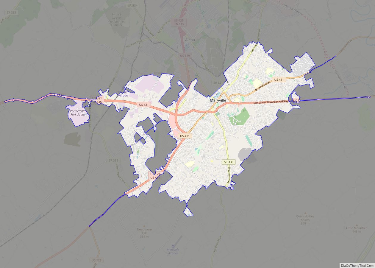
Online Interactive Map
Click on ![]() to view map in "full screen" mode.
to view map in "full screen" mode.
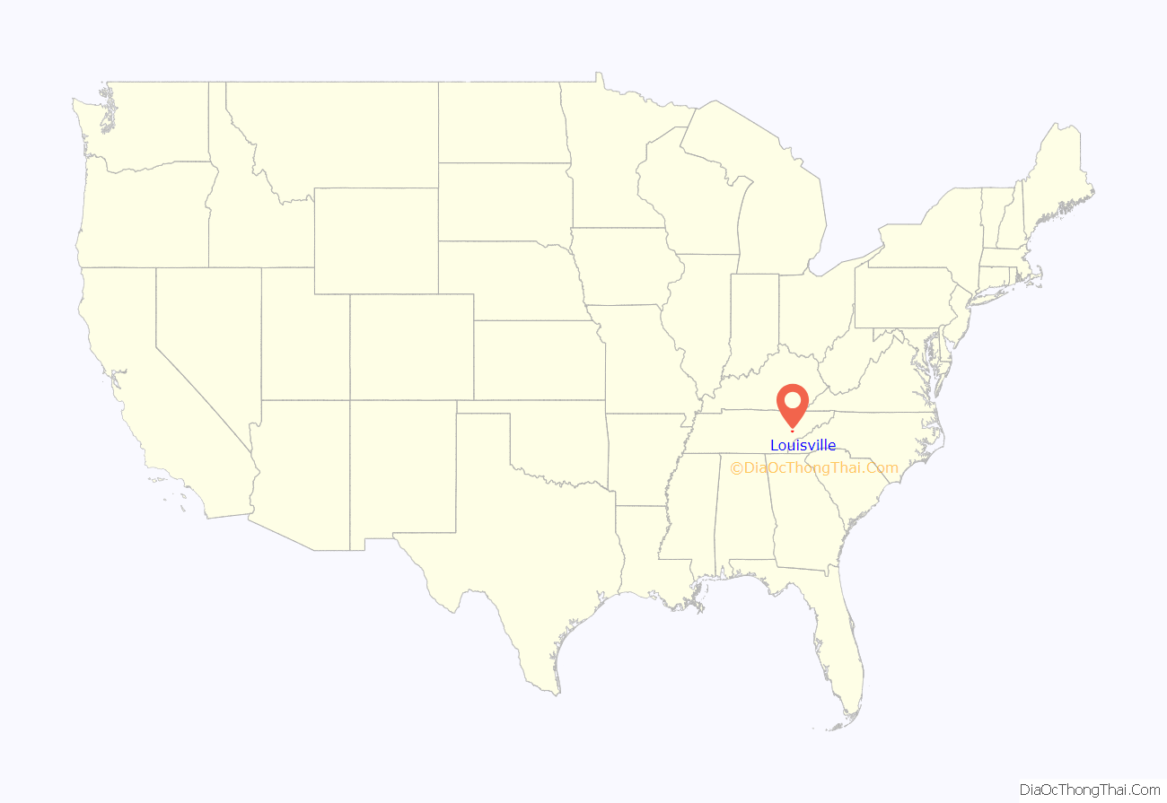
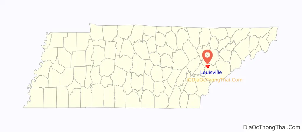
Louisville location map. Where is Louisville city?
History
The Louisville area was settled in the early 1800s, and its situation on the Tennessee River helped it grow into a key flatboat and steamboat port. It was incorporated in 1851. The town’s namesake is unknown, although some have suggested that its name was influenced by the French King Louis Philippe, who visited the area in the late 1790s. In 1974 Louisville’s downtown was declared a national historic district by the National Register of Historic Places.
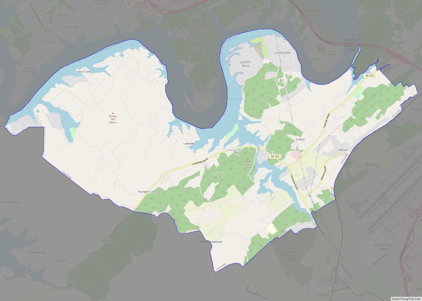
Louisville Road Map

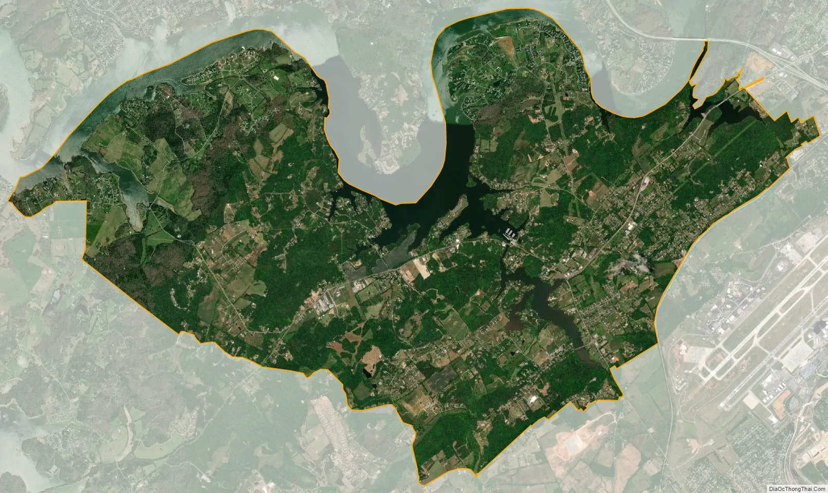
Louisville city Satellite Map
Geography
Louisville is located along the northern border of Blount County at 35°49′25″N 84°02′48″W / 35.823659°N 84.046718°W / 35.823659; -84.046718 (35.823659, -84.046718). The town is centered around the junction of State Route 334 (Louisville Road), which connects Louisville with Alcoa and Maryville to the east, and State Route 333, which connects Louisville with Friendsville to the west. The Fort Loudoun Lake impoundment of the Tennessee River comprises Louisville’s northern border.
According to the United States Census Bureau, the city has a total area of 13.5 square miles (35.0 km), of which 11.7 square miles (30.4 km) is land and 1.8 square miles (4.6 km), or 13.18%, is water.
See also
Map of Tennessee State and its subdivision:- Anderson
- Bedford
- Benton
- Bledsoe
- Blount
- Bradley
- Campbell
- Cannon
- Carroll
- Carter
- Cheatham
- Chester
- Claiborne
- Clay
- Cocke
- Coffee
- Crockett
- Cumberland
- Davidson
- Decatur
- DeKalb
- Dickson
- Dyer
- Fayette
- Fentress
- Franklin
- Gibson
- Giles
- Grainger
- Greene
- Grundy
- Hamblen
- Hamilton
- Hancock
- Hardeman
- Hardin
- Hawkins
- Haywood
- Henderson
- Henry
- Hickman
- Houston
- Humphreys
- Jackson
- Jefferson
- Johnson
- Knox
- Lake
- Lauderdale
- Lawrence
- Lewis
- Lincoln
- Loudon
- Macon
- Madison
- Marion
- Marshall
- Maury
- McMinn
- McNairy
- Meigs
- Monroe
- Montgomery
- Moore
- Morgan
- Obion
- Overton
- Perry
- Pickett
- Polk
- Putnam
- Rhea
- Roane
- Robertson
- Rutherford
- Scott
- Sequatchie
- Sevier
- Shelby
- Smith
- Stewart
- Sullivan
- Sumner
- Tipton
- Trousdale
- Unicoi
- Union
- Van Buren
- Warren
- Washington
- Wayne
- Weakley
- White
- Williamson
- Wilson
- Alabama
- Alaska
- Arizona
- Arkansas
- California
- Colorado
- Connecticut
- Delaware
- District of Columbia
- Florida
- Georgia
- Hawaii
- Idaho
- Illinois
- Indiana
- Iowa
- Kansas
- Kentucky
- Louisiana
- Maine
- Maryland
- Massachusetts
- Michigan
- Minnesota
- Mississippi
- Missouri
- Montana
- Nebraska
- Nevada
- New Hampshire
- New Jersey
- New Mexico
- New York
- North Carolina
- North Dakota
- Ohio
- Oklahoma
- Oregon
- Pennsylvania
- Rhode Island
- South Carolina
- South Dakota
- Tennessee
- Texas
- Utah
- Vermont
- Virginia
- Washington
- West Virginia
- Wisconsin
- Wyoming