Maryville is a city in and the county seat of Blount County, Tennessee, and is a suburb of Knoxville. Its population was 31,907 at the 2020 census.
It is included in the Knoxville Metropolitan Area and is a short distance from popular tourist destinations such as the Great Smoky Mountains National Park, Dollywood, Gatlinburg, and Pigeon Forge.
| Name: | Maryville city |
|---|---|
| LSAD Code: | 25 |
| LSAD Description: | city (suffix) |
| State: | Tennessee |
| County: | Blount County |
| Incorporated: | 1795 |
| Elevation: | 935 ft (285 m) |
| Total Area: | 17.27 sq mi (44.72 km²) |
| Land Area: | 17.27 sq mi (44.72 km²) |
| Water Area: | 0.00 sq mi (0.00 km²) |
| Total Population: | 31,907 |
| Population Density: | 1,847.86/sq mi (713.48/km²) |
| ZIP code: | 37801-37804 |
| Area code: | 865 |
| FIPS code: | 4746380 |
| GNISfeature ID: | 1292868 |
| Website: | www.maryvillegov.com |
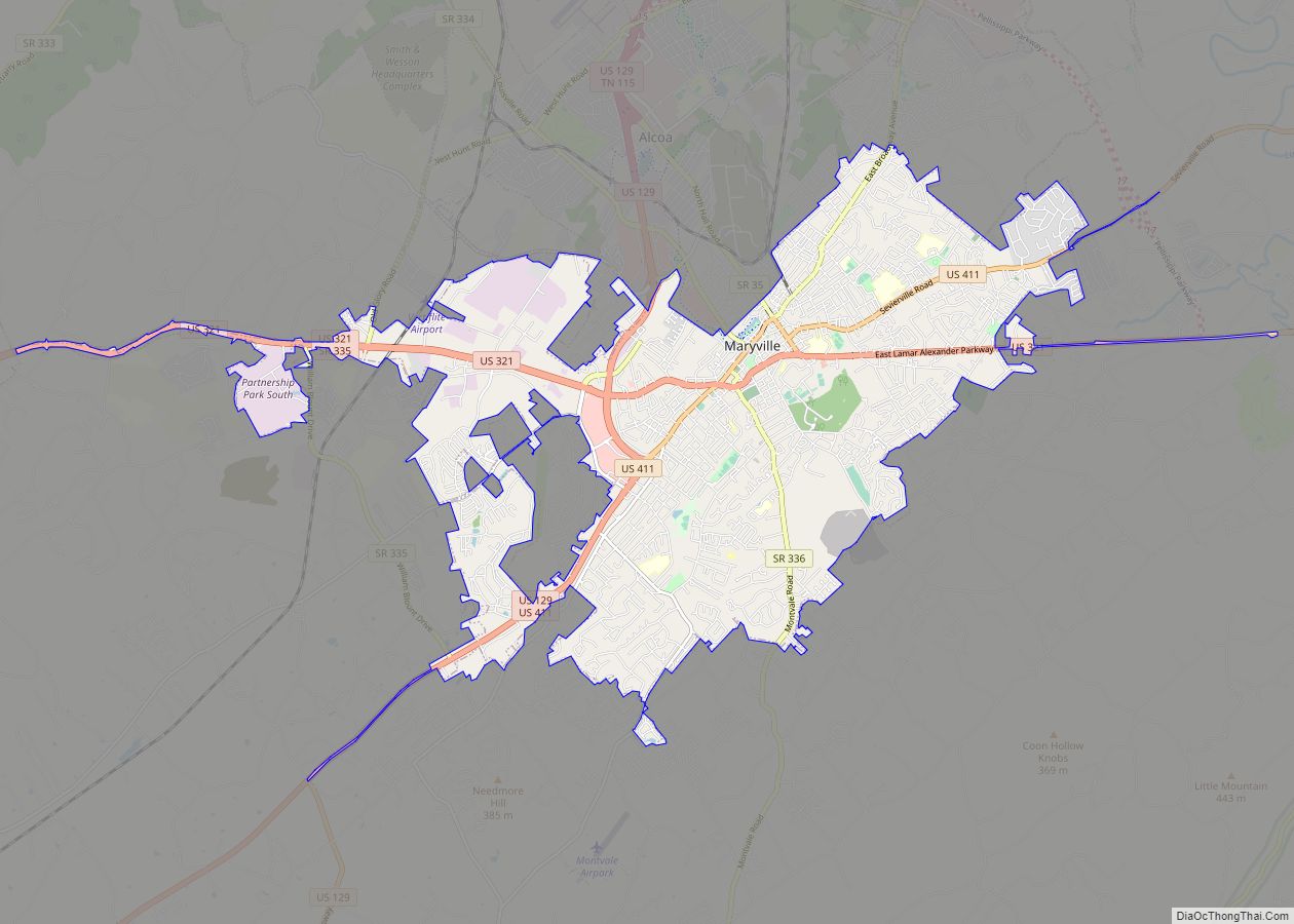
Online Interactive Map
Click on ![]() to view map in "full screen" mode.
to view map in "full screen" mode.
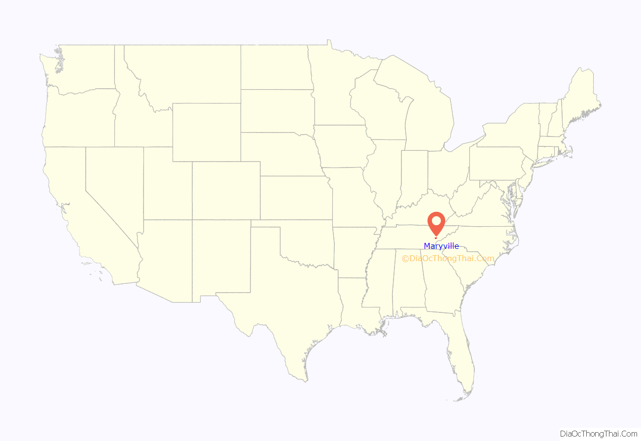
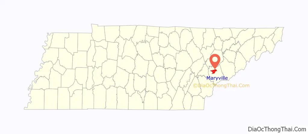
Maryville location map. Where is Maryville city?
History
When the first European explorers arrived in the area, they found the Great Indian Warpath, which ran along the route where the modern US-411 has been built. The trail was long used by the indigenous peoples of the area. A historic Cherokee village known as “Elajay” was situated at the confluence of Ellejoy Creek (named after the village) and the Little River. Its site was near the modern Heritage High School. Ensign Henry Timberlake passed through the village in 1762 while returning from his expedition to the Overhill villages to the west. He reported that it had been abandoned.
In 1785, Revolutionary War veteran John Craig built a wooden palisade enclosing cabins at what is known as Fort Craig (or Craig’s Station) in present-day Maryville. Such stations were built throughout the frontier to defend settlers against attacks from the Cherokee. For example, “on April 11, 1793, when settlers believed Indian attacks were imminent, 280 men, women, and children gathered in small huts at John Craig’s station on Nine Mile Creek.”
Craig donated 50 acres (20 ha) next to his fort for the founding of a new town. Incorporated as a city on July 11, 1795, the settlement was named in honor of Mary Grainger Blount, wife of the territorial governor William Blount. Blount County was named after him.
The family of Sam Houston moved to Maryville from Virginia in 1808, when Houston was 15. His older brothers put him to work as a clerk in a store they established in town, but he ran away. Houston lived for a few years with the Cherokee at Hiwassee Island, on the Hiwassee River, where he became fluent in their language and appreciative of their culture. After his return to Maryville about 1811, Houston started a one-room schoolhouse. He signed up for the army during the War of 1812 and rose rapidly in rank, beginning his military and political career. The schoolhouse still stands just off US-411 near the community of Wildwood.
Maryville was a center of abolitionist activity throughout the early 19th-century; it was generated mostly by the Society of Friends, which had a relatively large presence in Blount County. They were supported by anti-slavery advocates such as Isaac L. Anderson, the founder of Maryville College. When Tennessee voted on the Ordinance of Secession in 1861, only 19 percent of Blount Countians voted in favor of seceding from the Union.
Although staunchly pro-Union throughout the Civil War, Maryville was not liberated by federal troops until May 1864. In August of that year, a Confederate cavalry raid, under the command of General Joseph Wheeler, attacked the courthouse where the Union troops had taken shelter. To try to dislodge the federal soldiers, Confederates set fire to several buildings, including a store where the city’s records were being kept. Polly Tool, an African-American slave, rescued most of the records. She was honored by a statue in the Blount County courthouse. In the Reconstruction Era Maryville became a hub of Radical Republican activity for East Tennessee. Its local Union League provided a lively forum for political discussion, and the Freedmen’s Normal Institute was established on the present-day site of Maryville High School. The city elected William Bennett Scott Sr., the country’s second African-American mayor, in 1869.
Maryville is home to one of 24 Alcoa Care-free Homes built in the United States in 1957-1958.
In the 1970s, after several department stores and other retailers moved from the downtown area to Alcoa’s Midland shopping center, the city spent $10 million on a renewal project called “Now Town”. Traffic was re-routed, facades were placed on old buildings, slums were cleared, and the Bicentennial Greenbelt Park was created. The project failed to attract business back to the downtown locations; instead retailers moved to the new Foothills Mall a few years later. The downtown area remained in decline until the 2000s, when the city agreed to reverse many of the “Now Town” changes.
U.S. Senator Lamar Alexander was born in Maryville in 1940. Alexander served as Governor of Tennessee from 1979–1987 and Secretary of Education (1991–1993) under President George H. W. Bush. He ran unsuccessful campaigns for president in 1996 and 2000, both times announcing his candidacy for the Republican Party from his hometown of Maryville. In 2002, he was elected to the U.S. Senate, succeeding Fred Thompson.
On July 2, 2015, a CSX freight train carrying hazardous materials went off of its tracks. Over 5,000 citizens were displaced from their homes within a two-mile (three kilometer) radius.
Maryville Road Map
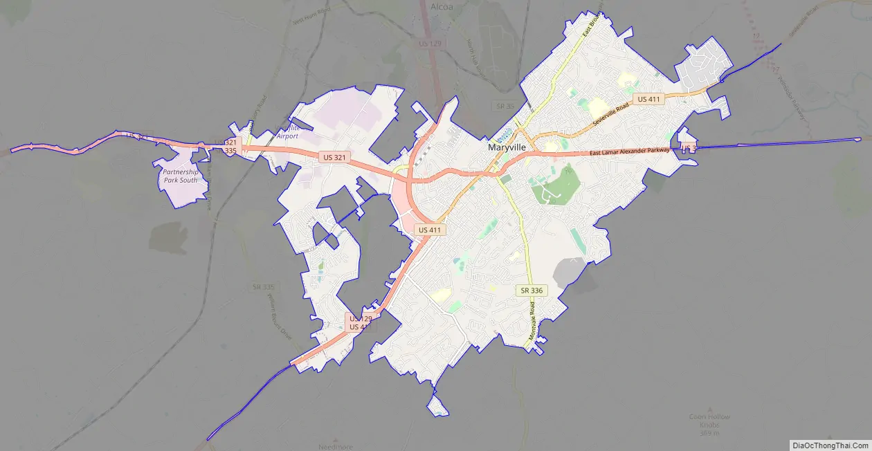
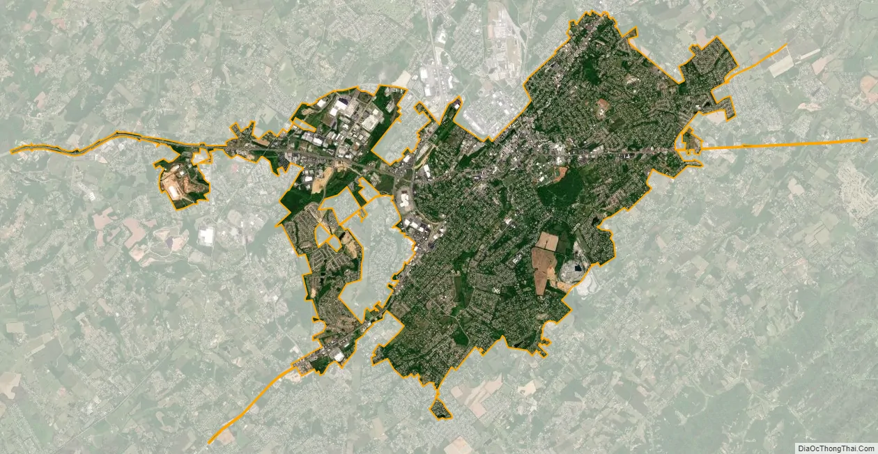
Maryville city Satellite Map
Geography
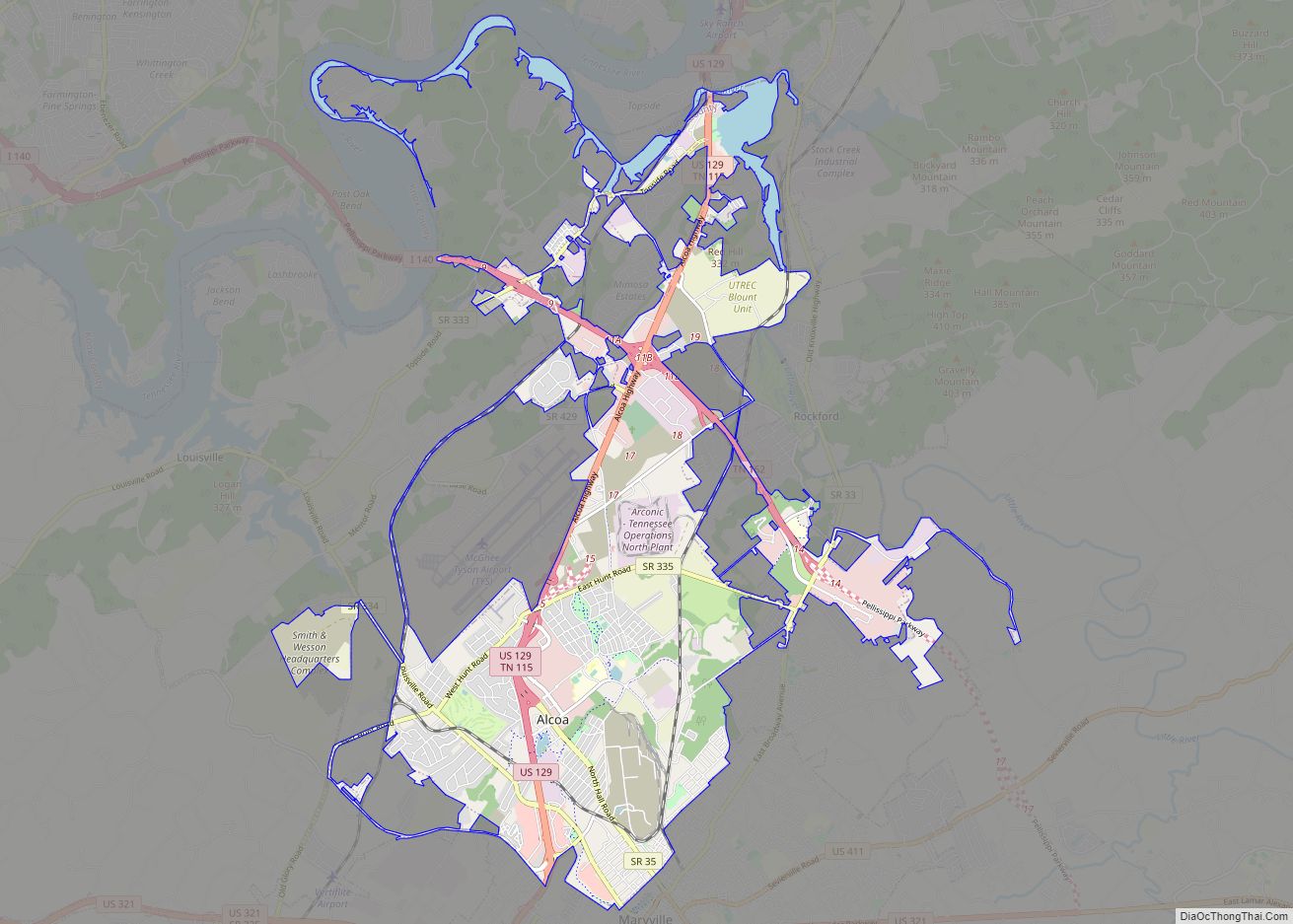
Maryville is located in north-central Blount County in the foothills of the Great Smoky Mountains. Chilhowee Mountain, the outermost ridge of the Western Smokies, rises prominently to the south. Chilhowee’s eastern flank— known locally as “The Three Sisters”— is visible from almost anywhere in the city, and dominates the southern horizon along US-321 between Maryville and Walland. Maryville is bordered on the north by Maryville’s twin city, Alcoa. A number of small suburbs— including Wildwood, Ellejoy, and Clover Hill— surround Maryville to the east and west.
According to the United States Census Bureau, the city has a total area of 16.8 square miles (43.5 km), all land.
Major streets
- Broadway, the main street of the downtown area, is an alignment of U.S. Route 411 and partly of U.S. Route 129. It continues to Sevierville to the east and Monroe County to the west.
- Lamar Alexander Parkway, an alignment of U.S. Route 321, continues to Lenoir City to the west and Townsend and the Great Smoky Mountains National Park to the east.
- Maryville-Alcoa Bypass, an alignment of U.S. Route 129 and part of the primary route between Maryville and Knoxville
- Montvale Road (State Route 336)
- Morganton Road, which runs parallel to US 411, connects Maryville to Greenback and the old Morganton area to west.
- Cusick Street crosses Broadway at the center of the downtown area. It extends north through Alcoa toward Louisville.
- Washington Street (State Route 35)
Parks
- Maryville Alcoa Greenway
- Bicentennial Greenbelt Park
- Amerine Park
- Everett Park
- John Sevier Park
- Pearson Springs Park
- Sandy Springs Park
- Jarvis Park
See also
Map of Tennessee State and its subdivision:- Anderson
- Bedford
- Benton
- Bledsoe
- Blount
- Bradley
- Campbell
- Cannon
- Carroll
- Carter
- Cheatham
- Chester
- Claiborne
- Clay
- Cocke
- Coffee
- Crockett
- Cumberland
- Davidson
- Decatur
- DeKalb
- Dickson
- Dyer
- Fayette
- Fentress
- Franklin
- Gibson
- Giles
- Grainger
- Greene
- Grundy
- Hamblen
- Hamilton
- Hancock
- Hardeman
- Hardin
- Hawkins
- Haywood
- Henderson
- Henry
- Hickman
- Houston
- Humphreys
- Jackson
- Jefferson
- Johnson
- Knox
- Lake
- Lauderdale
- Lawrence
- Lewis
- Lincoln
- Loudon
- Macon
- Madison
- Marion
- Marshall
- Maury
- McMinn
- McNairy
- Meigs
- Monroe
- Montgomery
- Moore
- Morgan
- Obion
- Overton
- Perry
- Pickett
- Polk
- Putnam
- Rhea
- Roane
- Robertson
- Rutherford
- Scott
- Sequatchie
- Sevier
- Shelby
- Smith
- Stewart
- Sullivan
- Sumner
- Tipton
- Trousdale
- Unicoi
- Union
- Van Buren
- Warren
- Washington
- Wayne
- Weakley
- White
- Williamson
- Wilson
- Alabama
- Alaska
- Arizona
- Arkansas
- California
- Colorado
- Connecticut
- Delaware
- District of Columbia
- Florida
- Georgia
- Hawaii
- Idaho
- Illinois
- Indiana
- Iowa
- Kansas
- Kentucky
- Louisiana
- Maine
- Maryland
- Massachusetts
- Michigan
- Minnesota
- Mississippi
- Missouri
- Montana
- Nebraska
- Nevada
- New Hampshire
- New Jersey
- New Mexico
- New York
- North Carolina
- North Dakota
- Ohio
- Oklahoma
- Oregon
- Pennsylvania
- Rhode Island
- South Carolina
- South Dakota
- Tennessee
- Texas
- Utah
- Vermont
- Virginia
- Washington
- West Virginia
- Wisconsin
- Wyoming