Friendsville is a city in Blount County, Tennessee, United States. Its population was 890 at the 2000 census and 913 at the 2010 census. It is included in the Knoxville, Tennessee Metropolitan Statistical Area.
| Name: | Friendsville city |
|---|---|
| LSAD Code: | 25 |
| LSAD Description: | city (suffix) |
| State: | Tennessee |
| County: | Blount County |
| Incorporated: | 1953 |
| Elevation: | 869 ft (265 m) |
| Total Area: | 2.84 sq mi (7.35 km²) |
| Land Area: | 2.84 sq mi (7.35 km²) |
| Water Area: | 0.00 sq mi (0.00 km²) |
| Total Population: | 896 |
| Population Density: | 315.72/sq mi (121.89/km²) |
| ZIP code: | 37737 |
| Area code: | 865 |
| FIPS code: | 4728060 |
| GNISfeature ID: | 1284953 |
Online Interactive Map
Click on ![]() to view map in "full screen" mode.
to view map in "full screen" mode.
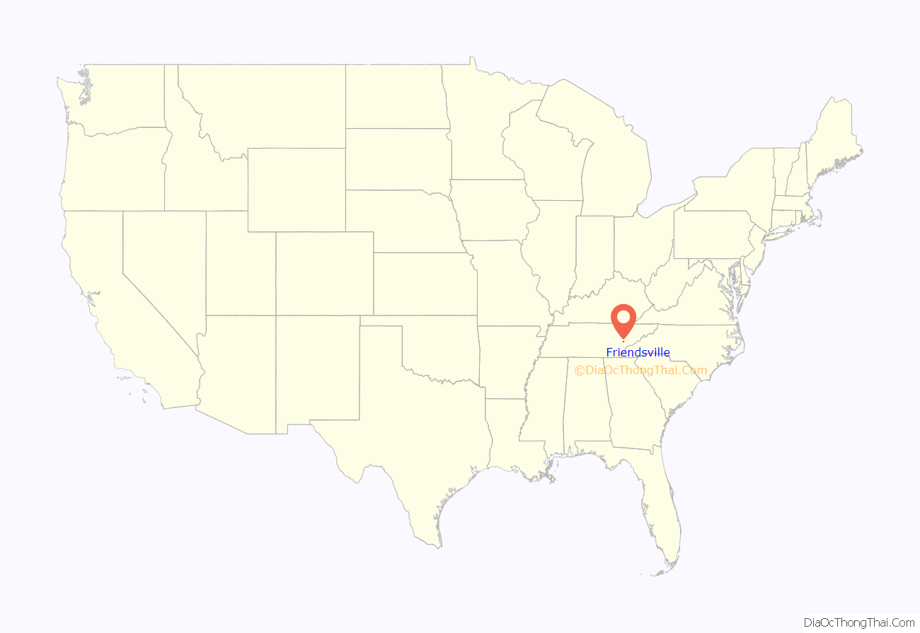
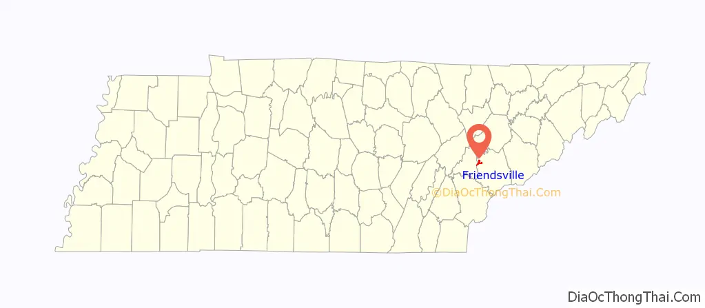
Friendsville location map. Where is Friendsville city?
History
Friendsville was founded by Quakers from New Garden, North Carolina, who settled in the area in the 1790s. The town is still home to a Friends Meetinghouse. In 1854, a group of British Quaker elders stayed here whilst promoting the abolitionist cause with American leaders. During this visit, abolitionist leader William Forster died and was buried here.
In the 19th century, the Quakers wielded considerable influence in Blount County, and were partially responsible for the abolitionist movements arising in the county in the years leading up to the Civil War. Along with nearby Greenback and possibly Cades Cove, Friendsville provided a stop on the Underground Railroad. A cave (since filled in) near the Friends Meetinghouse was stocked with provisions by Quakers such as William J. Hackney to provide a stopover for fugitive slaves and later soldiers en route to join the Union army.
Friendsville today
K-5 education in Friendsville is provided by Friendsville Elementary School (part of Blount County Schools), which was once Friendsville High School. Boat launch facilities along Fort Loudoun Lake can be found at Gallahar Creek and Whispering Cove.
Friendsville is home to the Pellissippi State Community College, Blount County Campus.
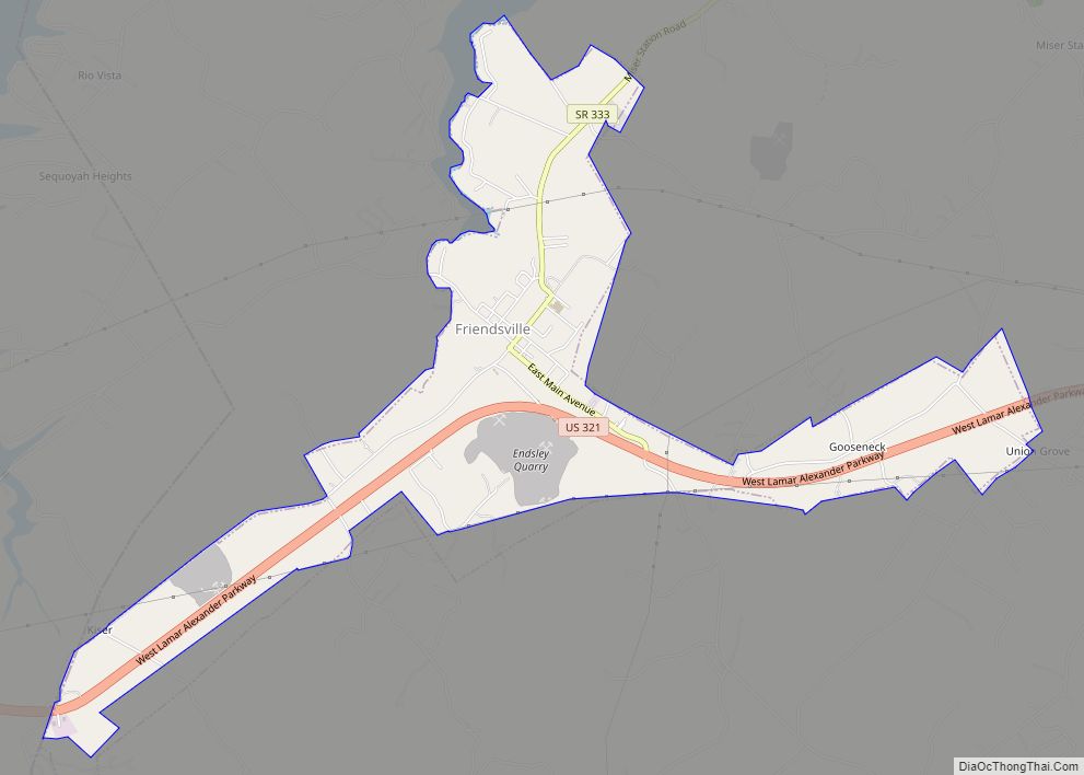
Friendsville Road Map
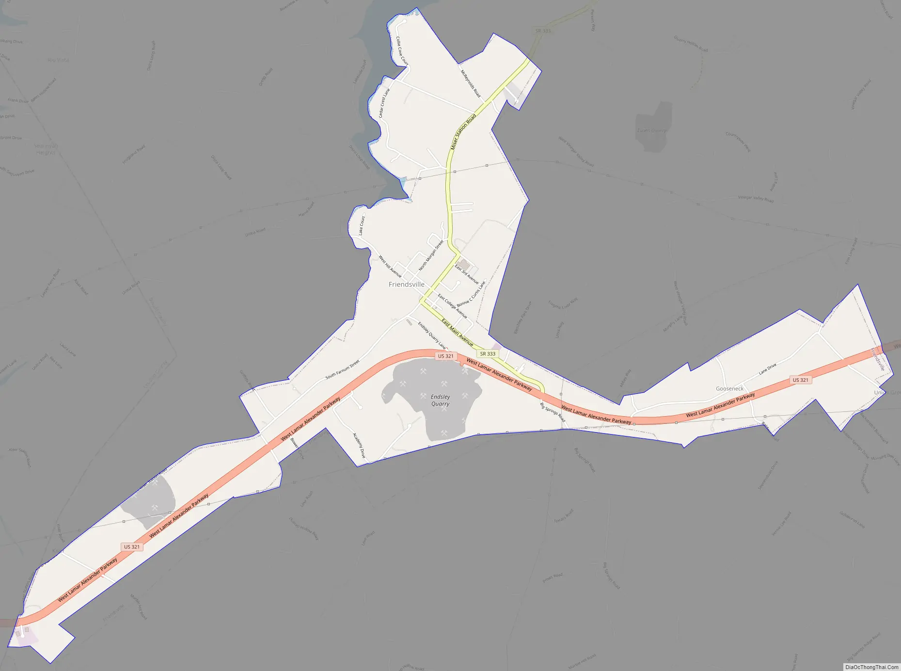
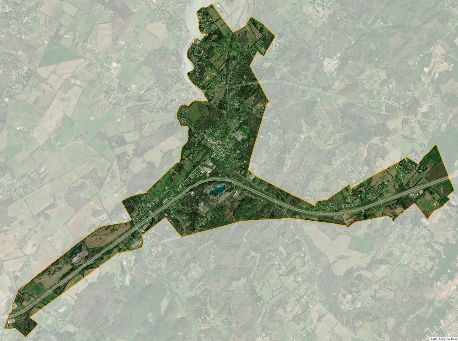
Friendsville city Satellite Map
Geography
Friendsville is located in western Blount County at 35°45′21″N 84°7′52″W / 35.75583°N 84.13111°W / 35.75583; -84.13111 (35.755804, -84.131028). The town is situated along State Route 333 (Miser Station Road) and stretches from Fort Loudoun Lake in the north to U.S. Route 321 (Lamar Alexander Parkway). It lies at an elevation of 879 feet (268 m).
According to the United States Census Bureau, the city has a total area of 3.0 square miles (7.8 km), all land.
See also
Map of Tennessee State and its subdivision:- Anderson
- Bedford
- Benton
- Bledsoe
- Blount
- Bradley
- Campbell
- Cannon
- Carroll
- Carter
- Cheatham
- Chester
- Claiborne
- Clay
- Cocke
- Coffee
- Crockett
- Cumberland
- Davidson
- Decatur
- DeKalb
- Dickson
- Dyer
- Fayette
- Fentress
- Franklin
- Gibson
- Giles
- Grainger
- Greene
- Grundy
- Hamblen
- Hamilton
- Hancock
- Hardeman
- Hardin
- Hawkins
- Haywood
- Henderson
- Henry
- Hickman
- Houston
- Humphreys
- Jackson
- Jefferson
- Johnson
- Knox
- Lake
- Lauderdale
- Lawrence
- Lewis
- Lincoln
- Loudon
- Macon
- Madison
- Marion
- Marshall
- Maury
- McMinn
- McNairy
- Meigs
- Monroe
- Montgomery
- Moore
- Morgan
- Obion
- Overton
- Perry
- Pickett
- Polk
- Putnam
- Rhea
- Roane
- Robertson
- Rutherford
- Scott
- Sequatchie
- Sevier
- Shelby
- Smith
- Stewart
- Sullivan
- Sumner
- Tipton
- Trousdale
- Unicoi
- Union
- Van Buren
- Warren
- Washington
- Wayne
- Weakley
- White
- Williamson
- Wilson
- Alabama
- Alaska
- Arizona
- Arkansas
- California
- Colorado
- Connecticut
- Delaware
- District of Columbia
- Florida
- Georgia
- Hawaii
- Idaho
- Illinois
- Indiana
- Iowa
- Kansas
- Kentucky
- Louisiana
- Maine
- Maryland
- Massachusetts
- Michigan
- Minnesota
- Mississippi
- Missouri
- Montana
- Nebraska
- Nevada
- New Hampshire
- New Jersey
- New Mexico
- New York
- North Carolina
- North Dakota
- Ohio
- Oklahoma
- Oregon
- Pennsylvania
- Rhode Island
- South Carolina
- South Dakota
- Tennessee
- Texas
- Utah
- Vermont
- Virginia
- Washington
- West Virginia
- Wisconsin
- Wyoming