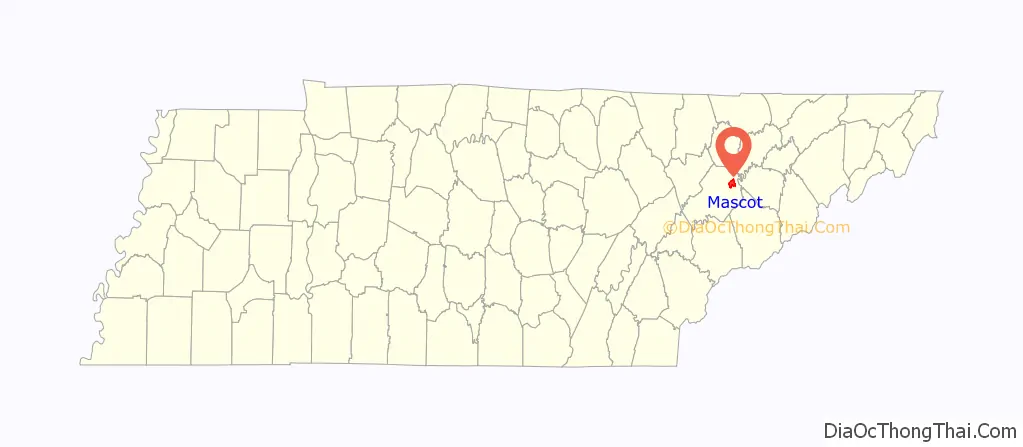
Mascot is a census-designated place (CDP) in Knox County, Tennessee, United States. The population was 2,760 at the 2020 census up from 2,411 at the 2010 census.
| Name: | Mascot CDP |
|---|---|
| LSAD Code: | 57 |
| LSAD Description: | CDP (suffix) |
| State: | Tennessee |
| County: | Knox County |
| Founded: | 1796 |
| Elevation: | 1,037 ft (316 m) |
| Total Area: | 7.19 sq mi (18.61 km²) |
| Land Area: | 6.96 sq mi (18.04 km²) |
| Water Area: | 0.22 sq mi (0.57 km²) |
| Total Population: | 2,760 |
| Population Density: | 396.27/sq mi (153.01/km²) |
| ZIP code: | 37806, 37924 |
| Area code: | 865 |
| FIPS code: | 4746400 |
| GNISfeature ID: | 2403259 |
Online Interactive Map
Click on ![]() to view map in "full screen" mode.
to view map in "full screen" mode.
Mascot location map. Where is Mascot CDP?

History
The Mascot community was first reported to be established around 1796, when settler John Erwin purchased 150 acres of land by the United States government, but the expansion of the community would not occur until the 19th and 20th centuries.
Early 19th century settlement in the Mascot area may have centered on a ford across the Holston River that was known as Saylor’s Ford. In 1838, Dr. George Arnold, a physician and planter, constructed a Georgian-style house known as “Chesterfield” along Old Rutledge Pike in what is now northern Mascot. The house is listed on the National Register of Historic Places. In 1884 a railroad line was constructed through the area and a post office was established under the name “Meek,” apparently the surname of a local family. Knoxville’s Daily Sentinel listed Mascot as the name of the new railroad station between McMillians and Strawberry Plains, near the resort Lea Springs in 1887.
The Mascot community was formed in the early 20th century as a company town centered on the mine. The Holston Zinc Company established a mine locally in 1906, but some mining may have occurred earlier. The “Mascot” name is recorded from as early as 1904. Reports suggest the name came from an acronym for the Mining and Smelting Company of Tennessee, which once operated the mines in Mascot.
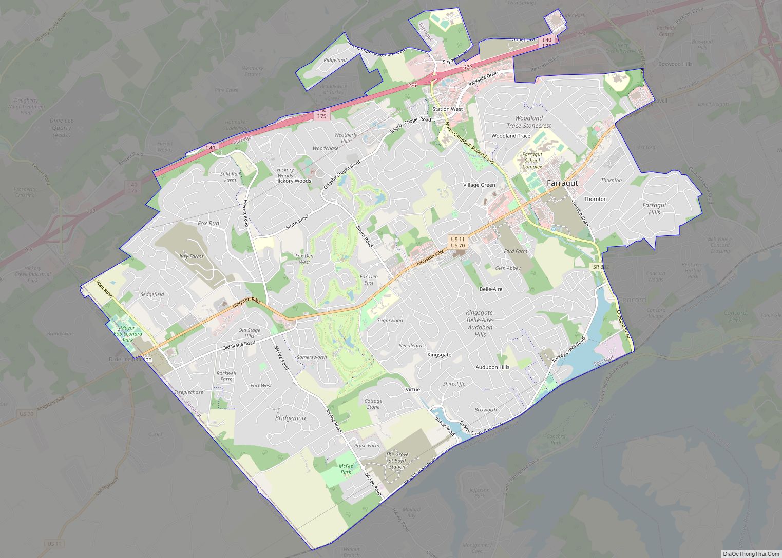
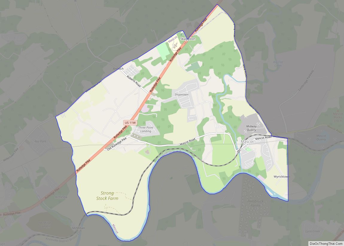
Mascot Road Map

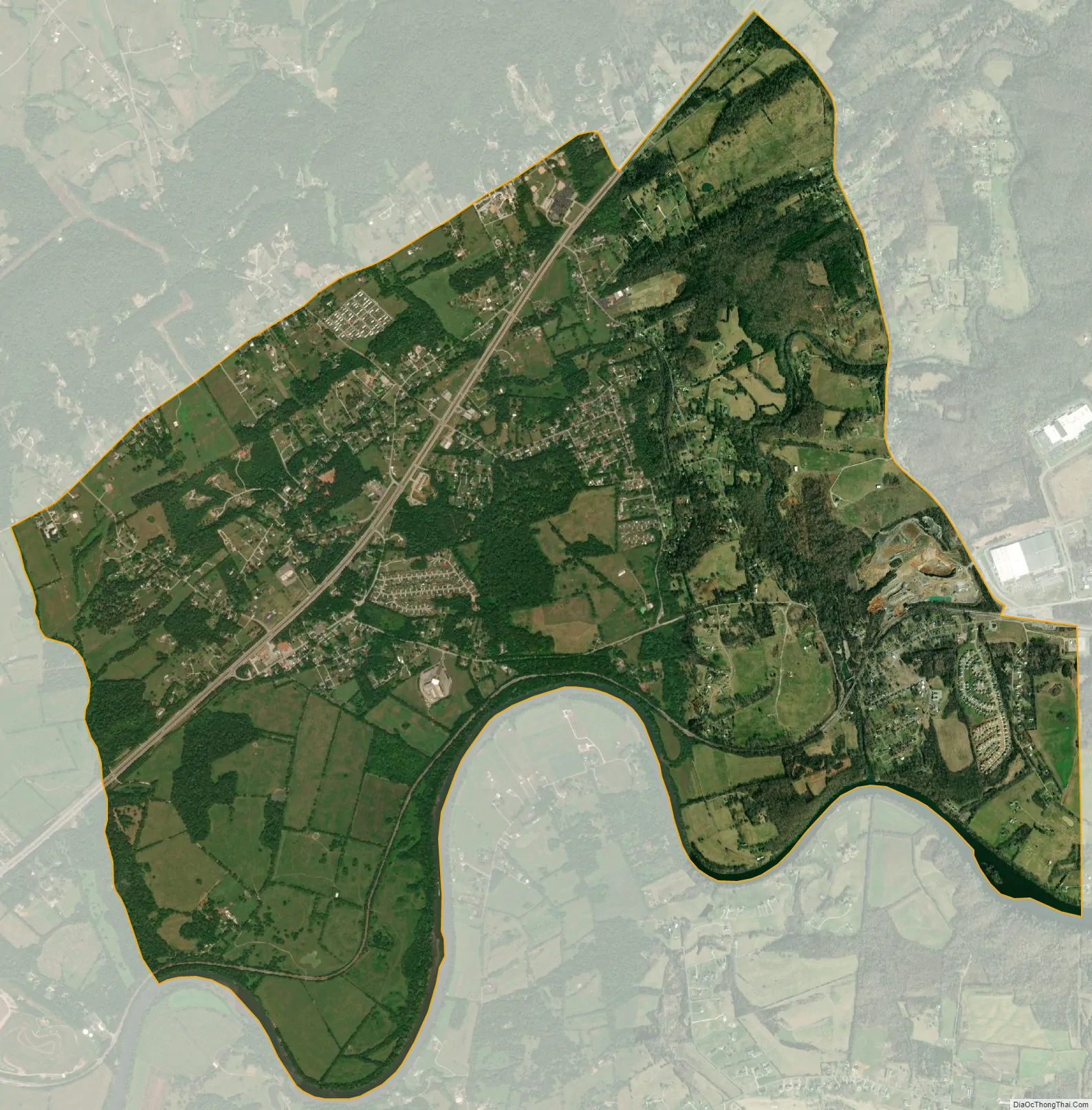
Mascot city Satellite Map
Geography
Mascot is located in northeastern Knox County, Tennessee, and is situated between U.S. Route 11W and the Holston River. It is located 14 miles northeast of Knoxville, 8 miles southwest of Blaine, and 4 miles west of Strawberry Plains.
According to the United States Census Bureau, the CDP has a total area of 7.1 square miles (18 km), of which, 6.9 square miles (18 km) of it is land and 0.2 square miles (0.52 km) of it (2.39%) is water.
See also
Map of Tennessee State and its subdivision:- Anderson
- Bedford
- Benton
- Bledsoe
- Blount
- Bradley
- Campbell
- Cannon
- Carroll
- Carter
- Cheatham
- Chester
- Claiborne
- Clay
- Cocke
- Coffee
- Crockett
- Cumberland
- Davidson
- Decatur
- DeKalb
- Dickson
- Dyer
- Fayette
- Fentress
- Franklin
- Gibson
- Giles
- Grainger
- Greene
- Grundy
- Hamblen
- Hamilton
- Hancock
- Hardeman
- Hardin
- Hawkins
- Haywood
- Henderson
- Henry
- Hickman
- Houston
- Humphreys
- Jackson
- Jefferson
- Johnson
- Knox
- Lake
- Lauderdale
- Lawrence
- Lewis
- Lincoln
- Loudon
- Macon
- Madison
- Marion
- Marshall
- Maury
- McMinn
- McNairy
- Meigs
- Monroe
- Montgomery
- Moore
- Morgan
- Obion
- Overton
- Perry
- Pickett
- Polk
- Putnam
- Rhea
- Roane
- Robertson
- Rutherford
- Scott
- Sequatchie
- Sevier
- Shelby
- Smith
- Stewart
- Sullivan
- Sumner
- Tipton
- Trousdale
- Unicoi
- Union
- Van Buren
- Warren
- Washington
- Wayne
- Weakley
- White
- Williamson
- Wilson
- Alabama
- Alaska
- Arizona
- Arkansas
- California
- Colorado
- Connecticut
- Delaware
- District of Columbia
- Florida
- Georgia
- Hawaii
- Idaho
- Illinois
- Indiana
- Iowa
- Kansas
- Kentucky
- Louisiana
- Maine
- Maryland
- Massachusetts
- Michigan
- Minnesota
- Mississippi
- Missouri
- Montana
- Nebraska
- Nevada
- New Hampshire
- New Jersey
- New Mexico
- New York
- North Carolina
- North Dakota
- Ohio
- Oklahoma
- Oregon
- Pennsylvania
- Rhode Island
- South Carolina
- South Dakota
- Tennessee
- Texas
- Utah
- Vermont
- Virginia
- Washington
- West Virginia
- Wisconsin
- Wyoming