Mount Pleasant is a city in Maury County, Tennessee, United States. Mount Pleasant was the birthplace of 19th-century writer and humorist Samuel R. Watkins and formerly titled “The Phosphate Capital of the World.” The population was 4,561 at the 2010 census, and 4,784 in 2020.
| Name: | Mount Pleasant city |
|---|---|
| LSAD Code: | 25 |
| LSAD Description: | city (suffix) |
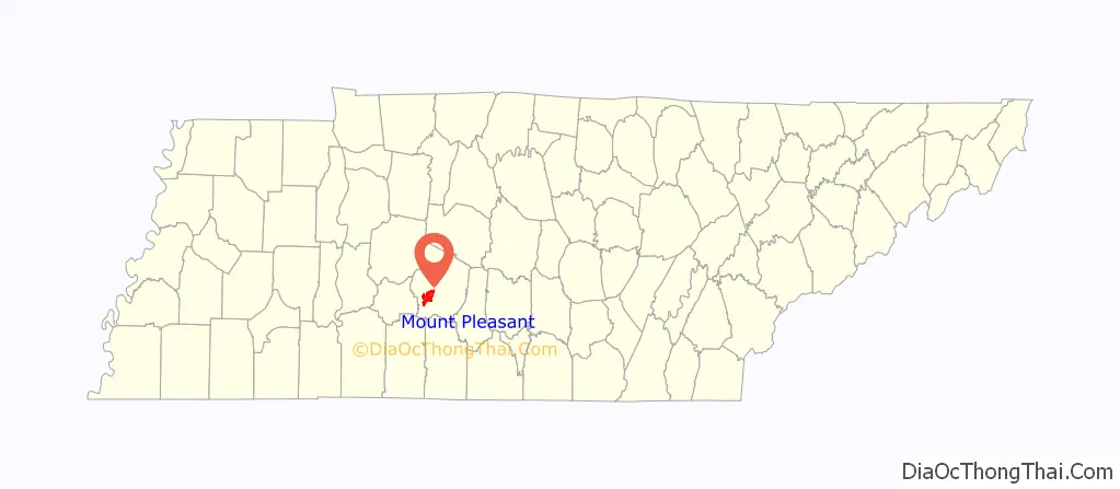
| State: | Tennessee |
| County: | Maury County |
| Elevation: | 676 ft (206 m) |
| Total Area: | 12.60 sq mi (32.64 km²) |
| Land Area: | 12.58 sq mi (32.57 km²) |
| Water Area: | 0.03 sq mi (0.07 km²) |
| Total Population: | 4,784 |
| Population Density: | 380.38/sq mi (146.87/km²) |
| ZIP code: | 38474 |
| Area code: | 931 |
| FIPS code: | 4751080 |
| GNISfeature ID: | 1306783 |
| Website: | www.mtpleasant-tn.gov |
Online Interactive Map
Click on ![]() to view map in "full screen" mode.
to view map in "full screen" mode.
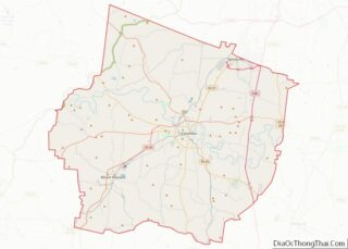
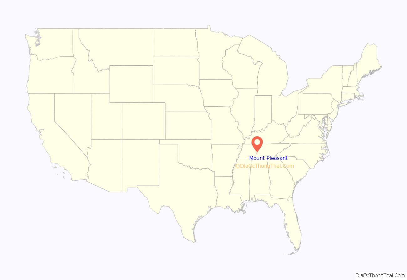
Mount Pleasant location map. Where is Mount Pleasant city?
History
Settlement of Mount Pleasant began in the early 19th century, and increased following the construction of the Military Road connecting Nashville and Madisonville, Louisiana, in 1817. By the time Mount Pleasant incorporated as a city in 1824, it was home to a store, tavern, and several churches.
In 1895, brown phosphate rock was discovered in Mount Pleasant, leading to a mining boom, and giving the city its nickname. Within a few years, ten phosphate mining companies were operating in Mount Pleasant, producing over 25,000 tons per year. The city’s population grew from 466 in 1890 to 2,007 in 1900. Phosphate mining remained a major part of the city’s economy into the latter half of the 20th century.
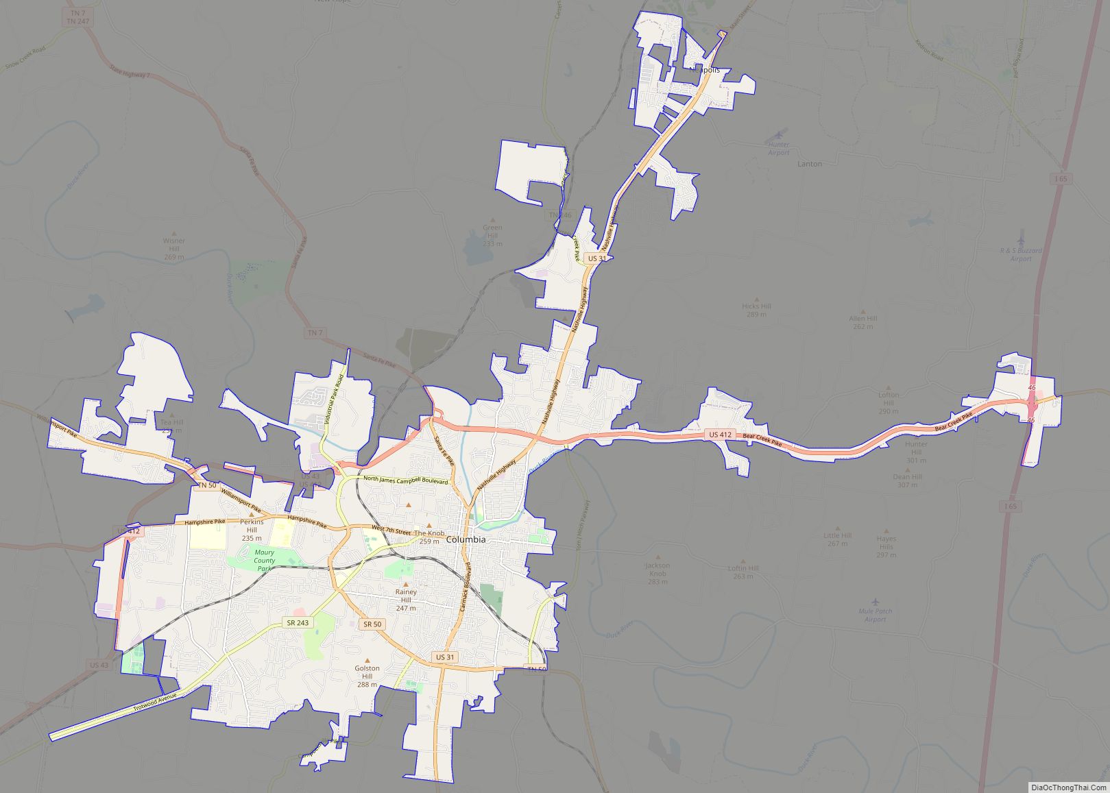
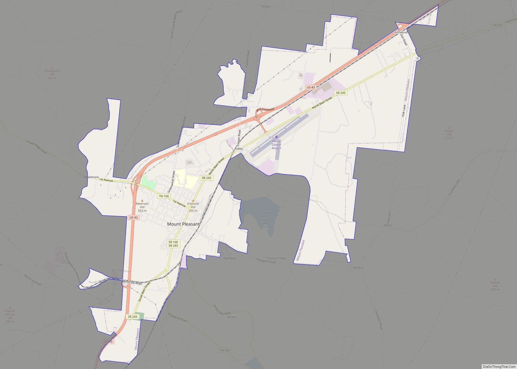
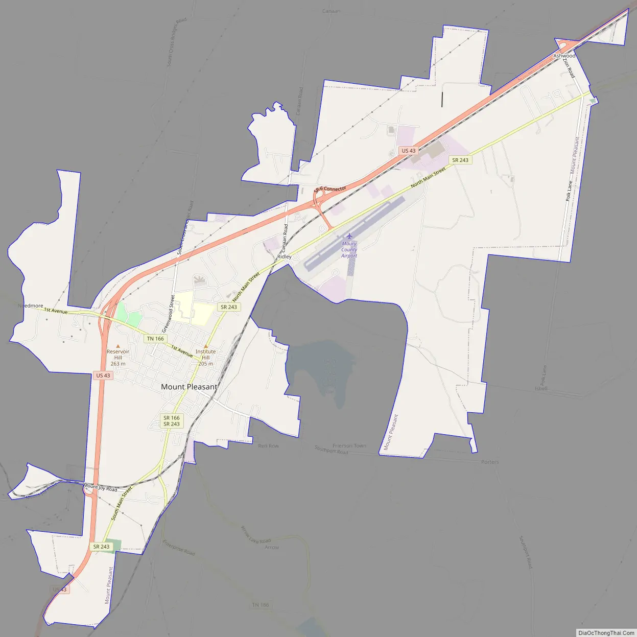
Mount Pleasant Road Map
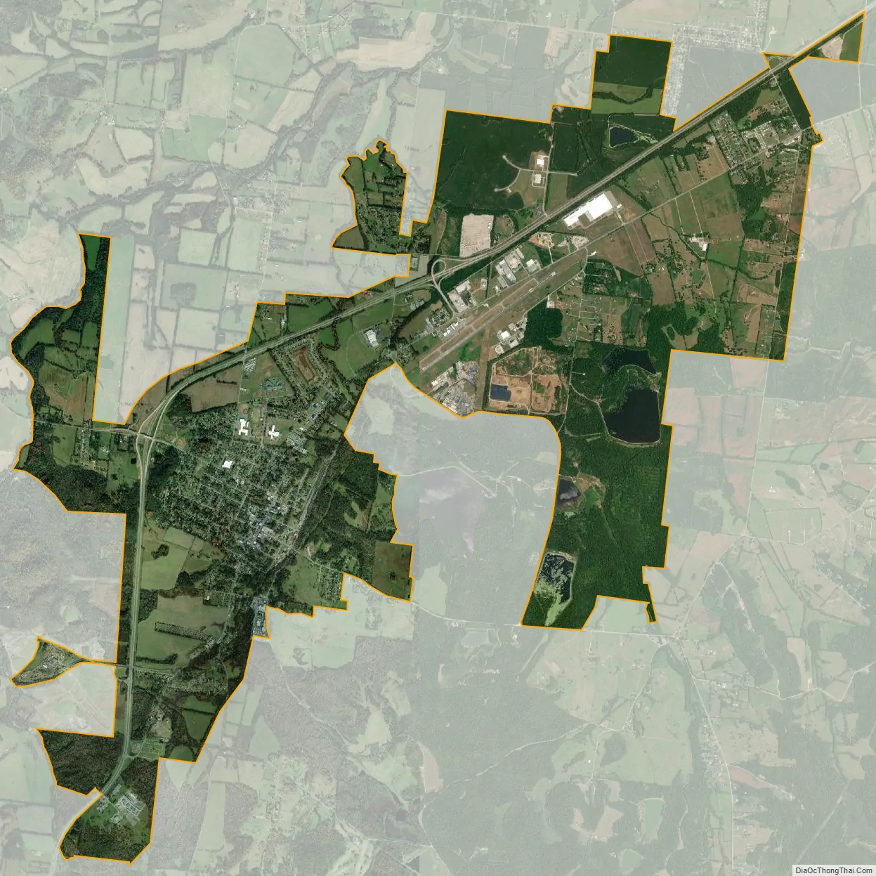
Mount Pleasant city Satellite Map
Geography
Mount Pleasant is located at 35°32′42″N 87°11′55″W / 35.54500°N 87.19861°W / 35.54500; -87.19861 (35.544977, -87.198683). According to the United States Census Bureau, the city has a total area of 11.1 square miles (29 km), of which 11.1 square miles (29 km) is land and 0.04 square miles (0.10 km) (0.18%) is water. Mount Pleasant is situated in a relatively broad plain surrounded by low hills to the east, south, and west. U.S. Route 43 connects the city with Columbia to the northeast and Lawrenceburg to the south.
Climate
See also
Map of Tennessee State and its subdivision:- Anderson
- Bedford
- Benton
- Bledsoe
- Blount
- Bradley
- Campbell
- Cannon
- Carroll
- Carter
- Cheatham
- Chester
- Claiborne
- Clay
- Cocke
- Coffee
- Crockett
- Cumberland
- Davidson
- Decatur
- DeKalb
- Dickson
- Dyer
- Fayette
- Fentress
- Franklin
- Gibson
- Giles
- Grainger
- Greene
- Grundy
- Hamblen
- Hamilton
- Hancock
- Hardeman
- Hardin
- Hawkins
- Haywood
- Henderson
- Henry
- Hickman
- Houston
- Humphreys
- Jackson
- Jefferson
- Johnson
- Knox
- Lake
- Lauderdale
- Lawrence
- Lewis
- Lincoln
- Loudon
- Macon
- Madison
- Marion
- Marshall
- Maury
- McMinn
- McNairy
- Meigs
- Monroe
- Montgomery
- Moore
- Morgan
- Obion
- Overton
- Perry
- Pickett
- Polk
- Putnam
- Rhea
- Roane
- Robertson
- Rutherford
- Scott
- Sequatchie
- Sevier
- Shelby
- Smith
- Stewart
- Sullivan
- Sumner
- Tipton
- Trousdale
- Unicoi
- Union
- Van Buren
- Warren
- Washington
- Wayne
- Weakley
- White
- Williamson
- Wilson
- Alabama
- Alaska
- Arizona
- Arkansas
- California
- Colorado
- Connecticut
- Delaware
- District of Columbia
- Florida
- Georgia
- Hawaii
- Idaho
- Illinois
- Indiana
- Iowa
- Kansas
- Kentucky
- Louisiana
- Maine
- Maryland
- Massachusetts
- Michigan
- Minnesota
- Mississippi
- Missouri
- Montana
- Nebraska
- Nevada
- New Hampshire
- New Jersey
- New Mexico
- New York
- North Carolina
- North Dakota
- Ohio
- Oklahoma
- Oregon
- Pennsylvania
- Rhode Island
- South Carolina
- South Dakota
- Tennessee
- Texas
- Utah
- Vermont
- Virginia
- Washington
- West Virginia
- Wisconsin
- Wyoming