Parsons is a city in Decatur County, Tennessee, United States. The population was 2,373 at the 2010 census. Parsons is the largest city by population in Decatur County.
| Name: | Parsons city |
|---|---|
| LSAD Code: | 25 |
| LSAD Description: | city (suffix) |
| State: | Tennessee |
| County: | Decatur County |
| Elevation: | 495 ft (151 m) |
| Total Area: | 4.05 sq mi (10.48 km²) |
| Land Area: | 4.05 sq mi (10.48 km²) |
| Water Area: | 0.00 sq mi (0.00 km²) |
| Total Population: | 2,100 |
| Population Density: | 518.90/sq mi (200.37/km²) |
| ZIP code: | 38363 |
| Area code: | 731 |
| FIPS code: | 4757080 |
| GNISfeature ID: | 1296893 |
| Website: | www.cityofparsons.com |
Online Interactive Map
Click on ![]() to view map in "full screen" mode.
to view map in "full screen" mode.
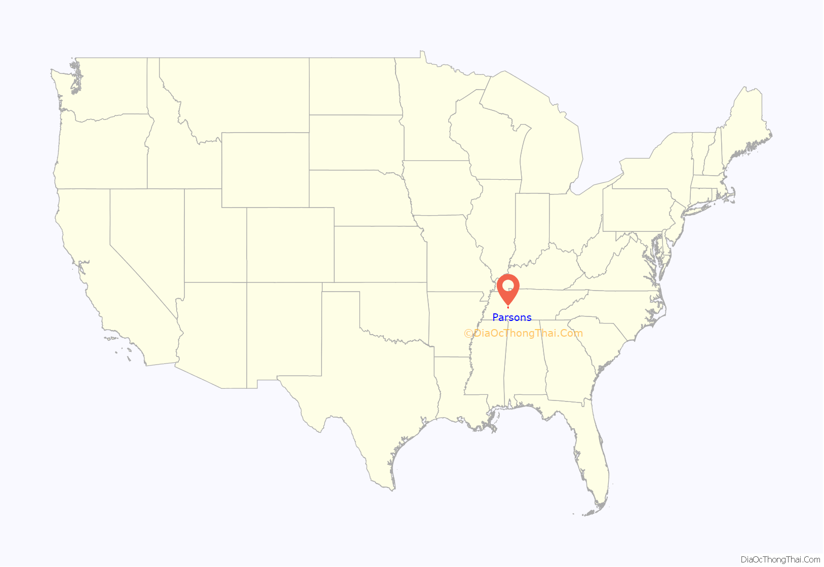
Parsons location map. Where is Parsons city?

History
Created circa 1889 by the Tennessee Midland Railroad Company (TMRC), the city of Parsons was founded by Henry Myracle as he deeded 1431⁄3 acres to the TMRC to start a town on his land. The railroad established Parsons Improvement Co. and Myracle maintained the town. The rail depot was located where the present day BP One Stop is located. A commercial lot, which was used as a tie yard was at present location of CB&S Bank. A storage lot and livestock pens were located where Townsend Chevrolet is presently located. There was a large water tank beside the depot and two packing houses nearby for farmers’ produce. There was also a town pump and a small park near the water tank.
The Perryville branch of the railroad (TMRC) was known as the “Pea Vine”. The train itself was known as the “Hot Shot” or “Cannonball”.
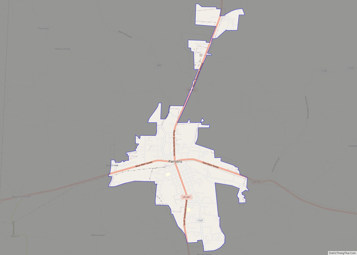
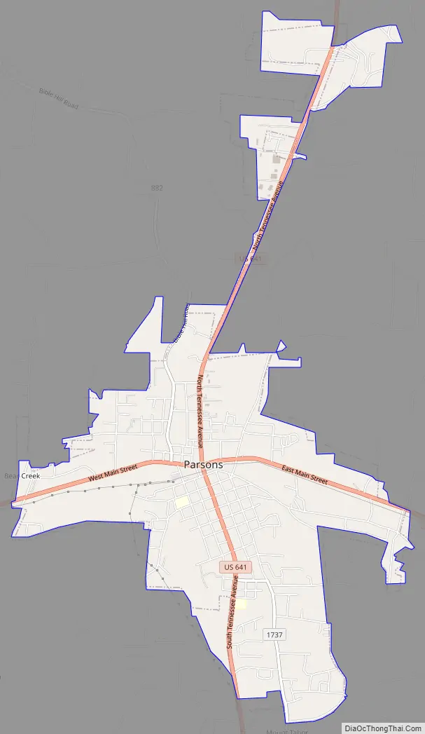
Parsons Road Map
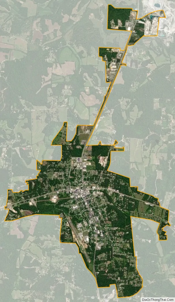
Parsons city Satellite Map
Geography
Parsons is located in central Decatur County at 35°38′56″N 88°7′24″W / 35.64889°N 88.12333°W / 35.64889; -88.12333 (35.648780, -88.123386). U.S. Routes 412 and 641 cross in the center of town. US 412 leads east 69 miles (111 km) to Columbia and west 42 miles (68 km) to Jackson, while US 641 leads north 30 miles (48 km) to Camden and south 24 miles (39 km) to Clifton. Decaturville, the county seat, is 5 miles (8 km) south on US 641.
According to the United States Census Bureau, Parsons has a total area of 4.1 square miles (10.7 km), all land.
The unincorporated community of Perryville, the oldest settlement in Decatur County, is 5 miles (8 km) east of Parsons, along the Tennessee River. Tennessee’s highest recorded temperature at 113 °F (45 °C) was recorded there on August 9, 1930.
See also
Map of Tennessee State and its subdivision:- Anderson
- Bedford
- Benton
- Bledsoe
- Blount
- Bradley
- Campbell
- Cannon
- Carroll
- Carter
- Cheatham
- Chester
- Claiborne
- Clay
- Cocke
- Coffee
- Crockett
- Cumberland
- Davidson
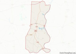
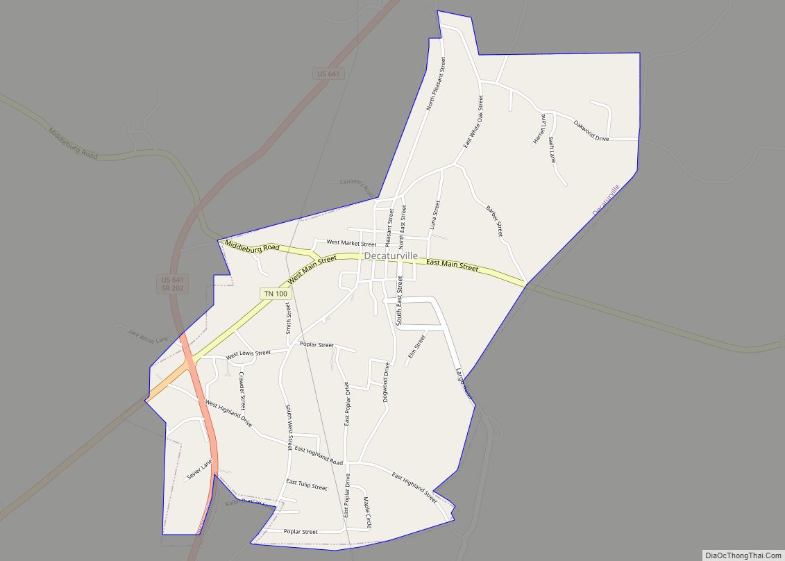
- Decatur
- DeKalb
- Dickson
- Dyer
- Fayette
- Fentress
- Franklin
- Gibson
- Giles
- Grainger
- Greene
- Grundy
- Hamblen
- Hamilton
- Hancock
- Hardeman
- Hardin
- Hawkins
- Haywood
- Henderson
- Henry
- Hickman
- Houston
- Humphreys
- Jackson
- Jefferson
- Johnson
- Knox
- Lake
- Lauderdale
- Lawrence
- Lewis
- Lincoln
- Loudon
- Macon
- Madison
- Marion
- Marshall
- Maury
- McMinn
- McNairy
- Meigs
- Monroe
- Montgomery
- Moore
- Morgan
- Obion
- Overton
- Perry
- Pickett
- Polk
- Putnam
- Rhea
- Roane
- Robertson
- Rutherford
- Scott
- Sequatchie
- Sevier
- Shelby
- Smith
- Stewart
- Sullivan
- Sumner
- Tipton
- Trousdale
- Unicoi
- Union
- Van Buren
- Warren
- Washington
- Wayne
- Weakley
- White
- Williamson
- Wilson
- Alabama
- Alaska
- Arizona
- Arkansas
- California
- Colorado
- Connecticut
- Delaware
- District of Columbia
- Florida
- Georgia
- Hawaii
- Idaho
- Illinois
- Indiana
- Iowa
- Kansas
- Kentucky
- Louisiana
- Maine
- Maryland
- Massachusetts
- Michigan
- Minnesota
- Mississippi
- Missouri
- Montana
- Nebraska
- Nevada
- New Hampshire
- New Jersey
- New Mexico
- New York
- North Carolina
- North Dakota
- Ohio
- Oklahoma
- Oregon
- Pennsylvania
- Rhode Island
- South Carolina
- South Dakota
- Tennessee
- Texas
- Utah
- Vermont
- Virginia
- Washington
- West Virginia
- Wisconsin
- Wyoming