Scotts Hill is a town in Decatur and Henderson counties in the U.S. state of Tennessee. The population was 984 at the 2010 census.
The community was named after Micajah Scott, a pioneer settler and the first merchant to settle in the town. The name “Scotts Hill” is derived from the location of Scott’s store, which sat on the hill across from the current Methodist Church.
| Name: | Scotts Hill town |
|---|---|
| LSAD Code: | 43 |
| LSAD Description: | town (suffix) |
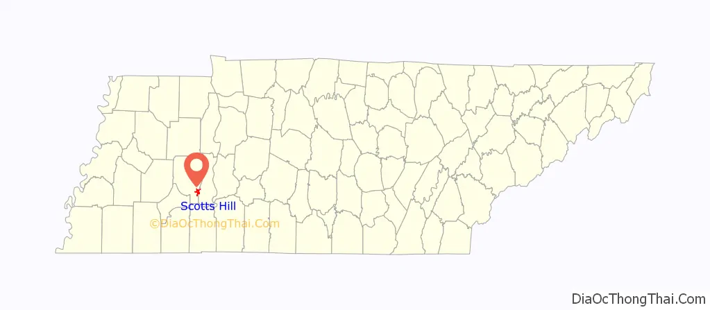
| State: | Tennessee |
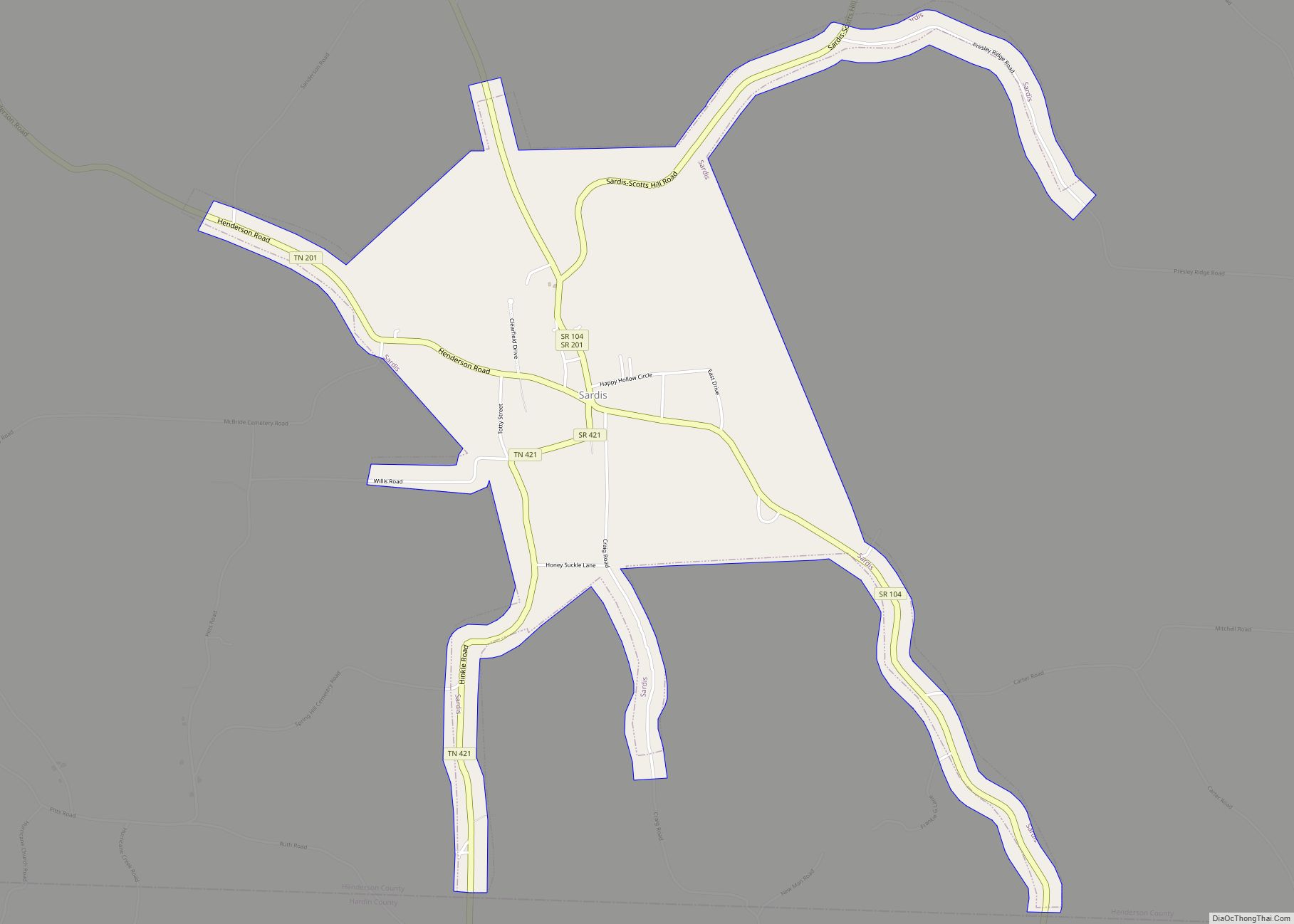
| County: | Decatur County, Henderson County |
| Elevation: | 518 ft (158 m) |
| Total Area: | 3.67 sq mi (9.49 km²) |
| Land Area: | 3.67 sq mi (9.49 km²) |
| Water Area: | 0.00 sq mi (0.00 km²) |
| Total Population: | 877 |
| Population Density: | 239.23/sq mi (92.37/km²) |
| ZIP code: | 38374 |
| Area code: | 731 |
| FIPS code: | 4766880 |
| GNISfeature ID: | 1300964 |
| Website: | cityofscottshill.com |
Online Interactive Map
Click on ![]() to view map in "full screen" mode.
to view map in "full screen" mode.
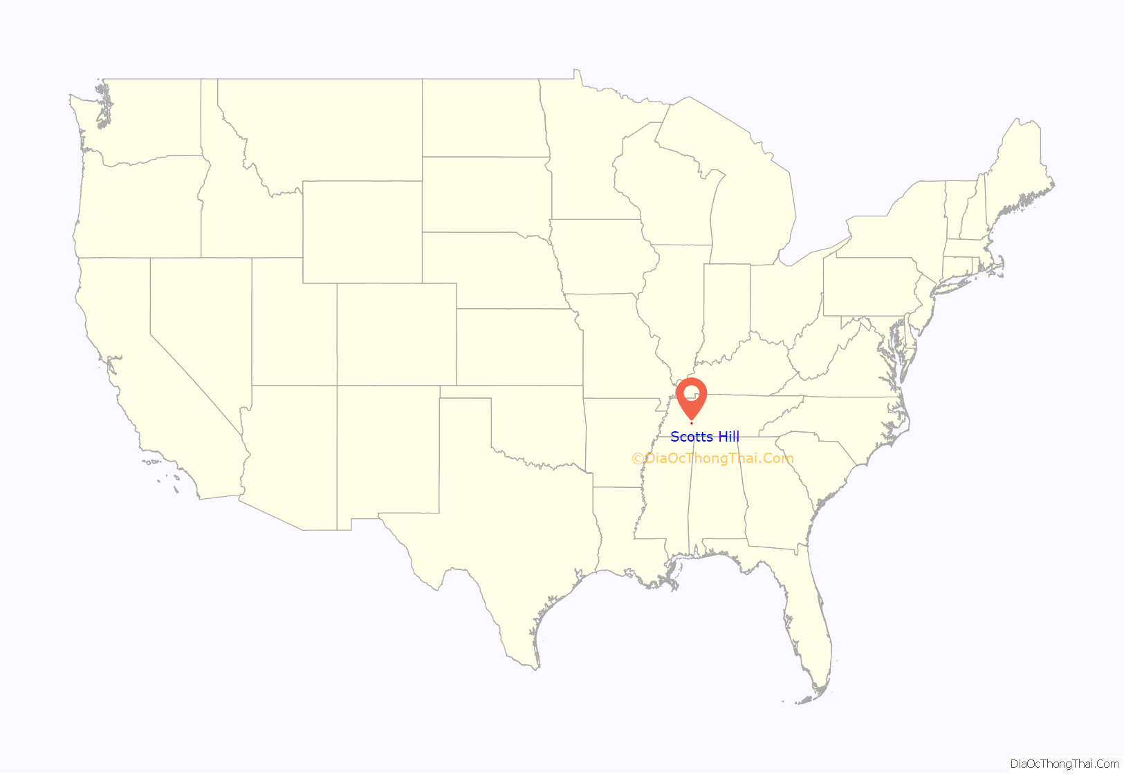
Scotts Hill location map. Where is Scotts Hill town?
History
Scotts Hill was first settled in 1825 by Charles Austin. The town was incorporated in April 1917, and Isiaac Wesley Patterson served as the first mayor. The town developed quickly, due its location on a main stagecoach route from Clifton, Tennessee to Jackson, Tennessee.
Shortly after its incorporation, in May 1917, the east end of Scotts Hill was destroyed by a severe tornado. The town was again damaged on October 16, 1917, when a fire destroyed all twelve businesses and five homes.
The Scotts Hill College opened in 1896, and ceased operation around 1917. The public water system was established in 1957.
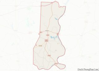
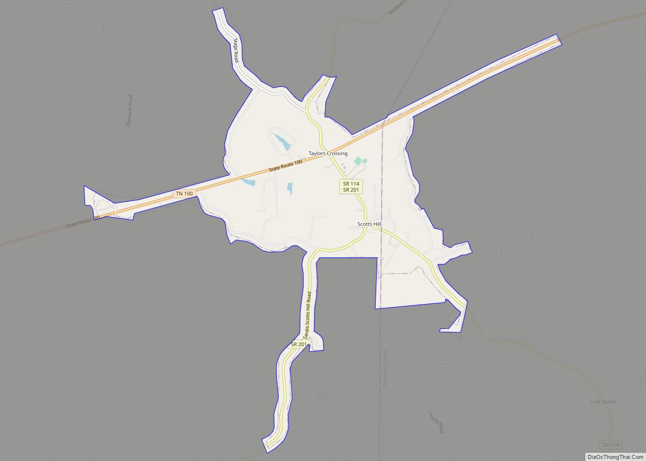
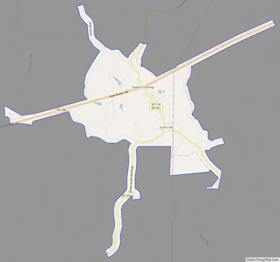
Scotts Hill Road Map
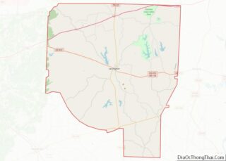
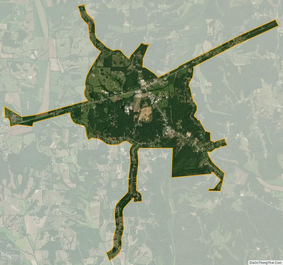
Scotts Hill city Satellite Map
Geography
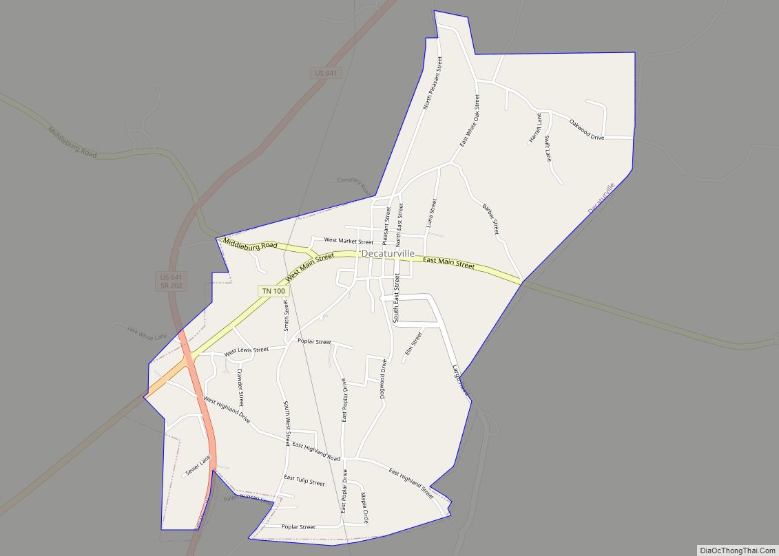
Scotts Hill is located in southeastern Henderson County and southwestern Decatur County at 35°30′55″N 88°15′3″W / 35.51528°N 88.25083°W / 35.51528; -88.25083 (35.515322, -88.250958). Tennessee State Route 100 passes through the town, north of the center, leading northeast 8 miles (13 km) to Decaturville and southwest 22 miles (35 km) to Henderson.
According to the United States Census Bureau, Scotts Hill has a total area of 3.8 square miles (9.8 km), all land.
See also
Map of Tennessee State and its subdivision:- Anderson
- Bedford
- Benton
- Bledsoe
- Blount
- Bradley
- Campbell
- Cannon
- Carroll
- Carter
- Cheatham
- Chester
- Claiborne
- Clay
- Cocke
- Coffee
- Crockett
- Cumberland
- Davidson
- Decatur
- DeKalb
- Dickson
- Dyer
- Fayette
- Fentress
- Franklin
- Gibson
- Giles
- Grainger
- Greene
- Grundy
- Hamblen
- Hamilton
- Hancock
- Hardeman
- Hardin
- Hawkins
- Haywood
- Henderson
- Henry
- Hickman
- Houston
- Humphreys
- Jackson
- Jefferson
- Johnson
- Knox
- Lake
- Lauderdale
- Lawrence
- Lewis
- Lincoln
- Loudon
- Macon
- Madison
- Marion
- Marshall
- Maury
- McMinn
- McNairy
- Meigs
- Monroe
- Montgomery
- Moore
- Morgan
- Obion
- Overton
- Perry
- Pickett
- Polk
- Putnam
- Rhea
- Roane
- Robertson
- Rutherford
- Scott
- Sequatchie
- Sevier
- Shelby
- Smith
- Stewart
- Sullivan
- Sumner
- Tipton
- Trousdale
- Unicoi
- Union
- Van Buren
- Warren
- Washington
- Wayne
- Weakley
- White
- Williamson
- Wilson
- Alabama
- Alaska
- Arizona
- Arkansas
- California
- Colorado
- Connecticut
- Delaware
- District of Columbia
- Florida
- Georgia
- Hawaii
- Idaho
- Illinois
- Indiana
- Iowa
- Kansas
- Kentucky
- Louisiana
- Maine
- Maryland
- Massachusetts
- Michigan
- Minnesota
- Mississippi
- Missouri
- Montana
- Nebraska
- Nevada
- New Hampshire
- New Jersey
- New Mexico
- New York
- North Carolina
- North Dakota
- Ohio
- Oklahoma
- Oregon
- Pennsylvania
- Rhode Island
- South Carolina
- South Dakota
- Tennessee
- Texas
- Utah
- Vermont
- Virginia
- Washington
- West Virginia
- Wisconsin
- Wyoming