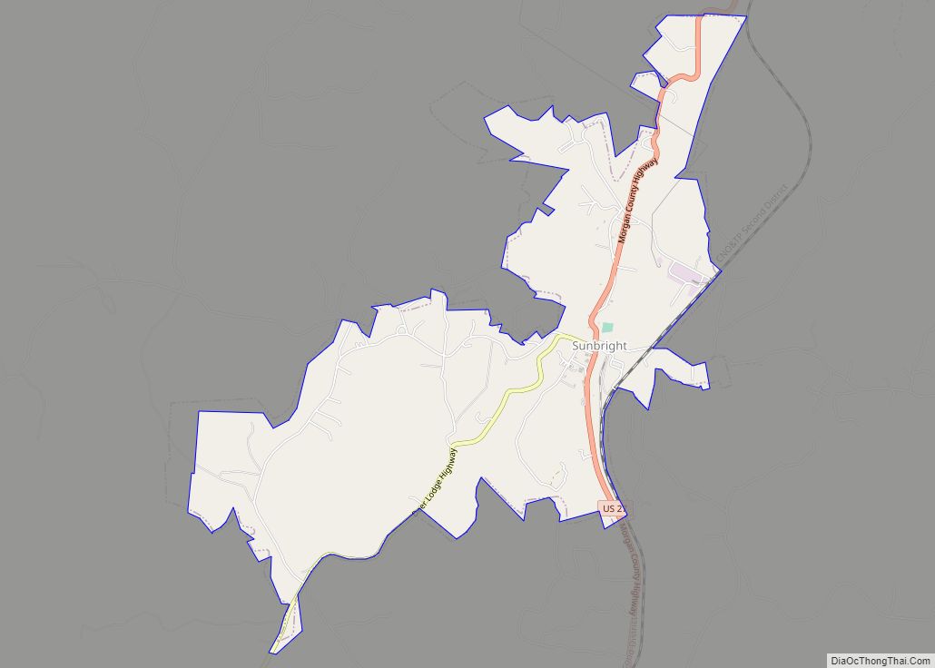
Sunbright is a city in Morgan County, Tennessee, United States. The population was 552 at the 2010 census.
| Name: | Sunbright city |
|---|---|
| LSAD Code: | 25 |
| LSAD Description: | city (suffix) |
| State: | Tennessee |
| County: | Morgan County |
| Incorporated: | 1990 |
| Elevation: | 1,394 ft (425 m) |
| Total Area: | 3.53 sq mi (9.14 km²) |
| Land Area: | 3.53 sq mi (9.14 km²) |
| Water Area: | 0.00 sq mi (0.00 km²) |
| Total Population: | 519 |
| Population Density: | 147.11/sq mi (56.80/km²) |
| ZIP code: | 37872 |
| Area code: | 423 |
| FIPS code: | 4772140 |
| GNISfeature ID: | 2405547 |
Online Interactive Map
Click on ![]() to view map in "full screen" mode.
to view map in "full screen" mode.
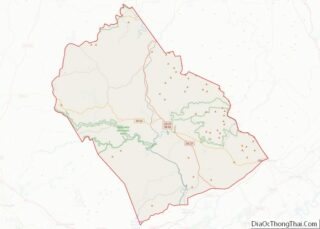
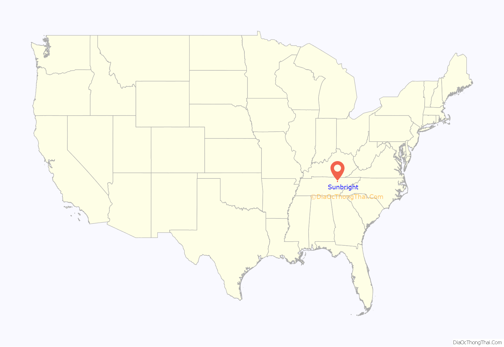
Sunbright location map. Where is Sunbright city?

History
The Sunbright area was first settled in the early 19th century. It was originally known as “Pine Top”, but was renamed “Stapleton” after the Staples family set up the town’s first post office in the mid-19th century. When the railroad was constructed through the area in 1879, the Stapleton depot was named “Sunbright,” and the name was eventually applied to the entire town.
In 1916, an oil field was discovered in the hills immediately west of Sunbright, and the city thrived for several years as an oil shipping hub. An oil well was in operation within a year, and 15 wells were in operation in the Sunbright area by 1927.
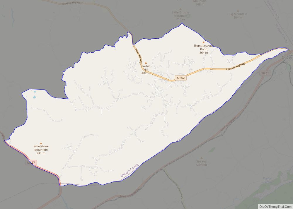
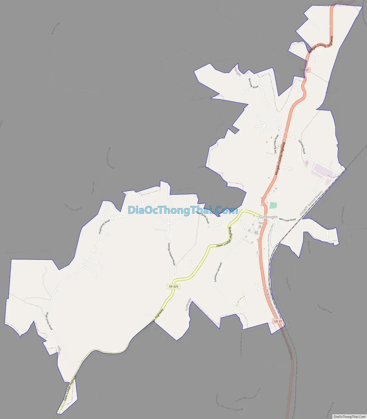
Sunbright Road Map
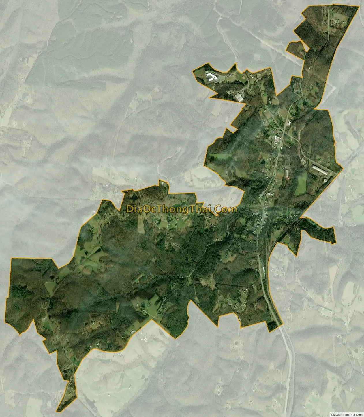
Sunbright city Satellite Map
Geography
Sunbright is situated atop the Cumberland Plateau approximately 25 miles (40 km) west of the plateau’s Walden Ridge escarpment. Sunbright is surrounded by low mountains and hills that comprise the fringe of the Cumberland Mountains.
White Oak Creek, which drains Sunbright, is part of the upper watershed of the Big South Fork of the Cumberland River. The Big South Fork’s watershed meets the watershed of the Emory River atop Pilot Mountain, immediately south of Sunbright.
Sunbright is centered along U.S. Route 27, which connects the city to Wartburg and Harriman to the south and Huntsville, Tennessee and Lexington, Kentucky to the north. US 27 intersects State Route 329 in the center of town, which connects Sunbright to Deer Lodge. US 27 also intersects Interstate 40 approximately 25 miles (40 km) south of Sunbright.
According to the United States Census Bureau, the city has a total area of 3.8 square miles (9.8 km), all of it land.
See also
Map of Tennessee State and its subdivision:- Anderson
- Bedford
- Benton
- Bledsoe
- Blount
- Bradley
- Campbell
- Cannon
- Carroll
- Carter
- Cheatham
- Chester
- Claiborne
- Clay
- Cocke
- Coffee
- Crockett
- Cumberland
- Davidson
- Decatur
- DeKalb
- Dickson
- Dyer
- Fayette
- Fentress
- Franklin
- Gibson
- Giles
- Grainger
- Greene
- Grundy
- Hamblen
- Hamilton
- Hancock
- Hardeman
- Hardin
- Hawkins
- Haywood
- Henderson
- Henry
- Hickman
- Houston
- Humphreys
- Jackson
- Jefferson
- Johnson
- Knox
- Lake
- Lauderdale
- Lawrence
- Lewis
- Lincoln
- Loudon
- Macon
- Madison
- Marion
- Marshall
- Maury
- McMinn
- McNairy
- Meigs
- Monroe
- Montgomery
- Moore
- Morgan
- Obion
- Overton
- Perry
- Pickett
- Polk
- Putnam
- Rhea
- Roane
- Robertson
- Rutherford
- Scott
- Sequatchie
- Sevier
- Shelby
- Smith
- Stewart
- Sullivan
- Sumner
- Tipton
- Trousdale
- Unicoi
- Union
- Van Buren
- Warren
- Washington
- Wayne
- Weakley
- White
- Williamson
- Wilson
- Alabama
- Alaska
- Arizona
- Arkansas
- California
- Colorado
- Connecticut
- Delaware
- District of Columbia
- Florida
- Georgia
- Hawaii
- Idaho
- Illinois
- Indiana
- Iowa
- Kansas
- Kentucky
- Louisiana
- Maine
- Maryland
- Massachusetts
- Michigan
- Minnesota
- Mississippi
- Missouri
- Montana
- Nebraska
- Nevada
- New Hampshire
- New Jersey
- New Mexico
- New York
- North Carolina
- North Dakota
- Ohio
- Oklahoma
- Oregon
- Pennsylvania
- Rhode Island
- South Carolina
- South Dakota
- Tennessee
- Texas
- Utah
- Vermont
- Virginia
- Washington
- West Virginia
- Wisconsin
- Wyoming