Vanleer is a town in Dickson County, Tennessee, United States. The population was estimated to be 422 in 2019, up from 395 at the 2010 census. The town is approximately 49 miles northwest of Nashville and is located within the city’s greater metropolitan area.
The town is named for Anthony Wayne Van Leer, onetime operator of the iron works in nearby Cumberland Furnace.
| Name: | Vanleer town |
|---|---|
| LSAD Code: | 43 |
| LSAD Description: | town (suffix) |
| State: | Tennessee |
| County: | Dickson County |
| Incorporated: | 1915 |
| Elevation: | 843 ft (257 m) |
| Total Area: | 2.06 sq mi (5.33 km²) |
| Land Area: | 2.05 sq mi (5.31 km²) |
| Water Area: | 0.01 sq mi (0.02 km²) |
| Total Population: | 374 |
| Population Density: | 182.44/sq mi (70.44/km²) |
| ZIP code: | 37181 |
| Area code: | 615 |
| FIPS code: | 4776860 |
| GNISfeature ID: | 1304296 |
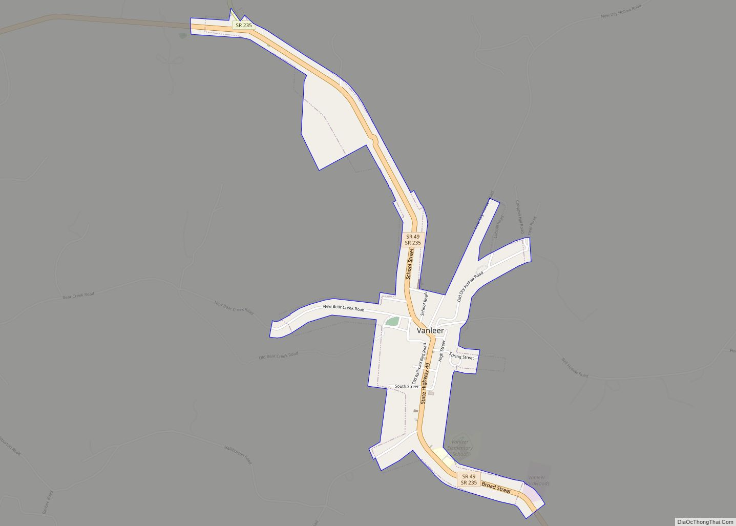
Online Interactive Map
Click on ![]() to view map in "full screen" mode.
to view map in "full screen" mode.
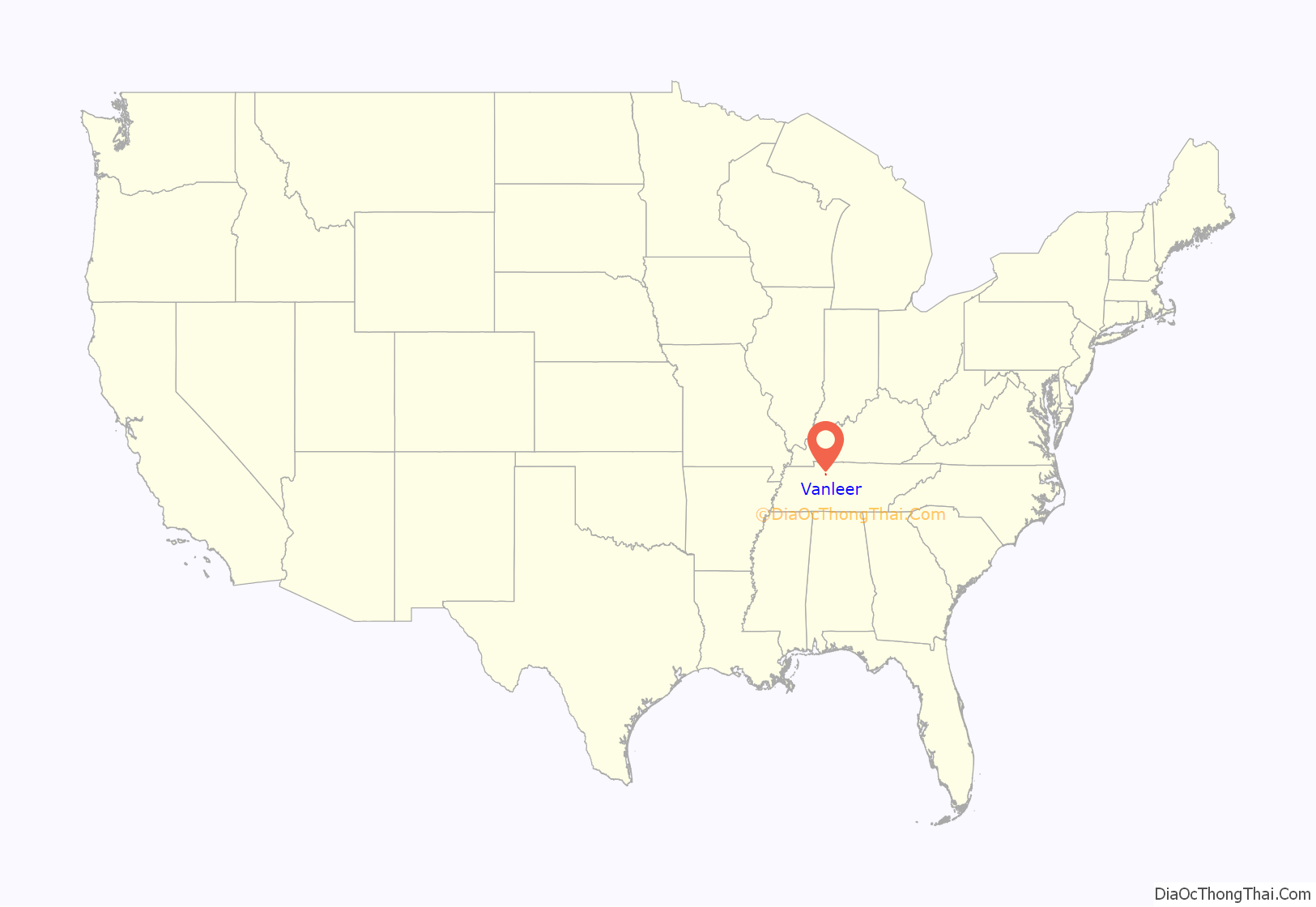
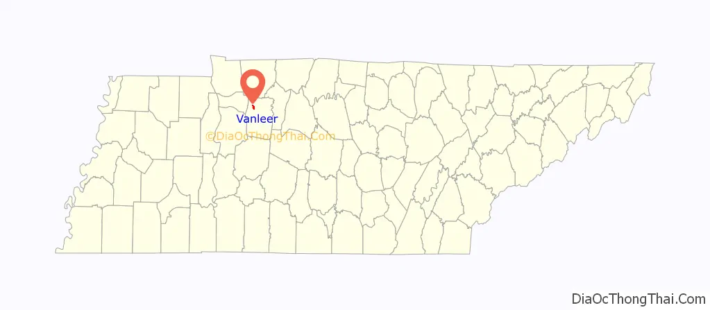
Vanleer location map. Where is Vanleer town?
Vanleer Road Map

Vanleer city Satellite Map

Geography
Vanleer is located at 36°14′15″N 87°26′41″W / 36.23750°N 87.44472°W / 36.23750; -87.44472 (36.237444, -87.444807).
According to the United States Census Bureau, the town has a total area of 0.6 square miles (1.6 km), all of it land.
See also
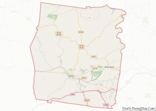
Map of Tennessee State and its subdivision:- Anderson
- Bedford
- Benton
- Bledsoe
- Blount
- Bradley
- Campbell
- Cannon
- Carroll
- Carter
- Cheatham
- Chester
- Claiborne
- Clay
- Cocke
- Coffee
- Crockett
- Cumberland
- Davidson
- Decatur
- DeKalb
- Dickson
- Dyer
- Fayette
- Fentress
- Franklin
- Gibson
- Giles
- Grainger
- Greene
- Grundy
- Hamblen
- Hamilton
- Hancock
- Hardeman
- Hardin
- Hawkins
- Haywood
- Henderson
- Henry
- Hickman
- Houston
- Humphreys
- Jackson
- Jefferson
- Johnson
- Knox
- Lake
- Lauderdale
- Lawrence
- Lewis
- Lincoln
- Loudon
- Macon
- Madison
- Marion
- Marshall
- Maury
- McMinn
- McNairy
- Meigs
- Monroe
- Montgomery
- Moore
- Morgan
- Obion
- Overton
- Perry
- Pickett
- Polk
- Putnam
- Rhea
- Roane
- Robertson
- Rutherford
- Scott
- Sequatchie
- Sevier
- Shelby
- Smith
- Stewart
- Sullivan
- Sumner
- Tipton
- Trousdale
- Unicoi
- Union
- Van Buren
- Warren
- Washington
- Wayne
- Weakley
- White
- Williamson
- Wilson
- Alabama
- Alaska
- Arizona
- Arkansas
- California
- Colorado
- Connecticut
- Delaware
- District of Columbia
- Florida
- Georgia
- Hawaii
- Idaho
- Illinois
- Indiana
- Iowa
- Kansas
- Kentucky
- Louisiana
- Maine
- Maryland
- Massachusetts
- Michigan
- Minnesota
- Mississippi
- Missouri
- Montana
- Nebraska
- Nevada
- New Hampshire
- New Jersey
- New Mexico
- New York
- North Carolina
- North Dakota
- Ohio
- Oklahoma
- Oregon
- Pennsylvania
- Rhode Island
- South Carolina
- South Dakota
- Tennessee
- Texas
- Utah
- Vermont
- Virginia
- Washington
- West Virginia
- Wisconsin
- Wyoming