White Bluff is a town in Dickson County, Tennessee, United States. The population was 3,862 at the 2020 census and 3,206 at the 2010 census. The community name derives from the White Bluff Iron Forge.
| Name: | White Bluff town |
|---|---|
| LSAD Code: | 43 |
| LSAD Description: | town (suffix) |
| State: | Tennessee |
| County: | Dickson County |
| Incorporated: | 1869 |
| Elevation: | 833 ft (254 m) |
| Total Area: | 6.39 sq mi (16.56 km²) |
| Land Area: | 6.39 sq mi (16.56 km²) |
| Water Area: | 0.00 sq mi (0.00 km²) |
| Total Population: | 3,862 |
| Population Density: | 604.19/sq mi (233.28/km²) |
| ZIP code: | 37187 |
| Area code: | 615 |
| FIPS code: | 4779980 |
| GNISfeature ID: | 1304517 |
| Website: | www.townofwhitebluff.com |
Online Interactive Map
Click on ![]() to view map in "full screen" mode.
to view map in "full screen" mode.
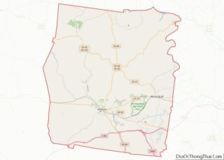
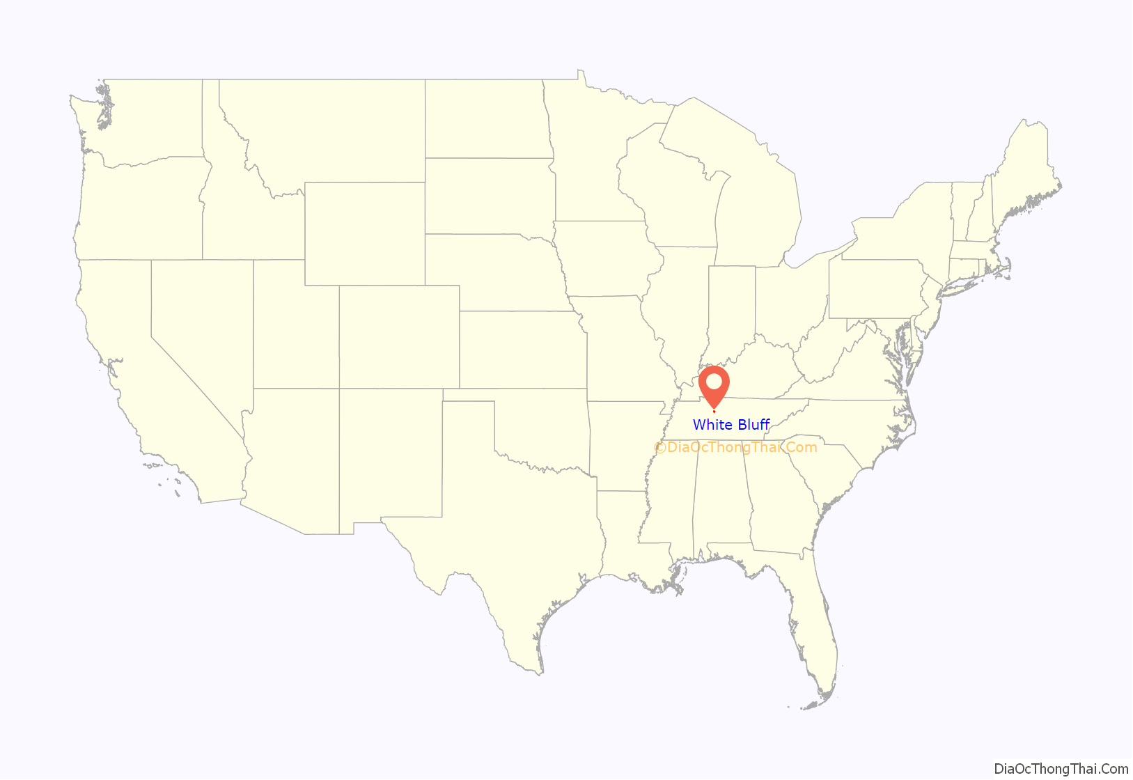
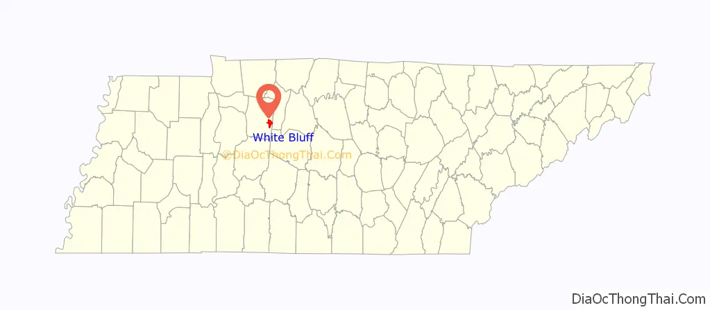
White Bluff location map. Where is White Bluff town?
History
A fort was constructed at White Bluff in 1806, and an iron forge shortly afterward. The current town, which grew out of a Civil War-era Union Army encampment, was platted in 1867, and within a few years had grown to include several mercantile businesses and a planing mill.
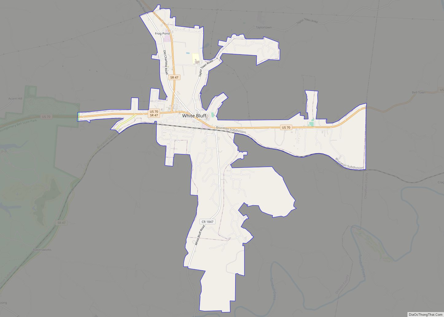
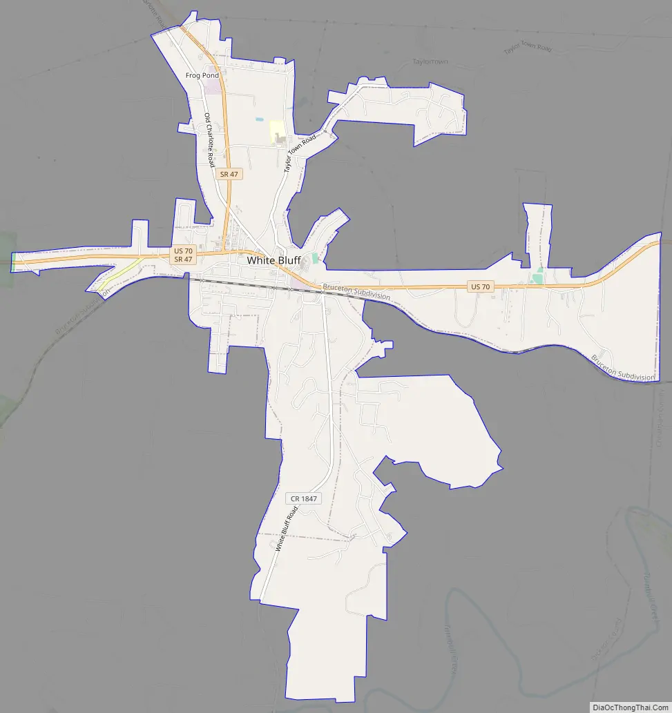
White Bluff Road Map
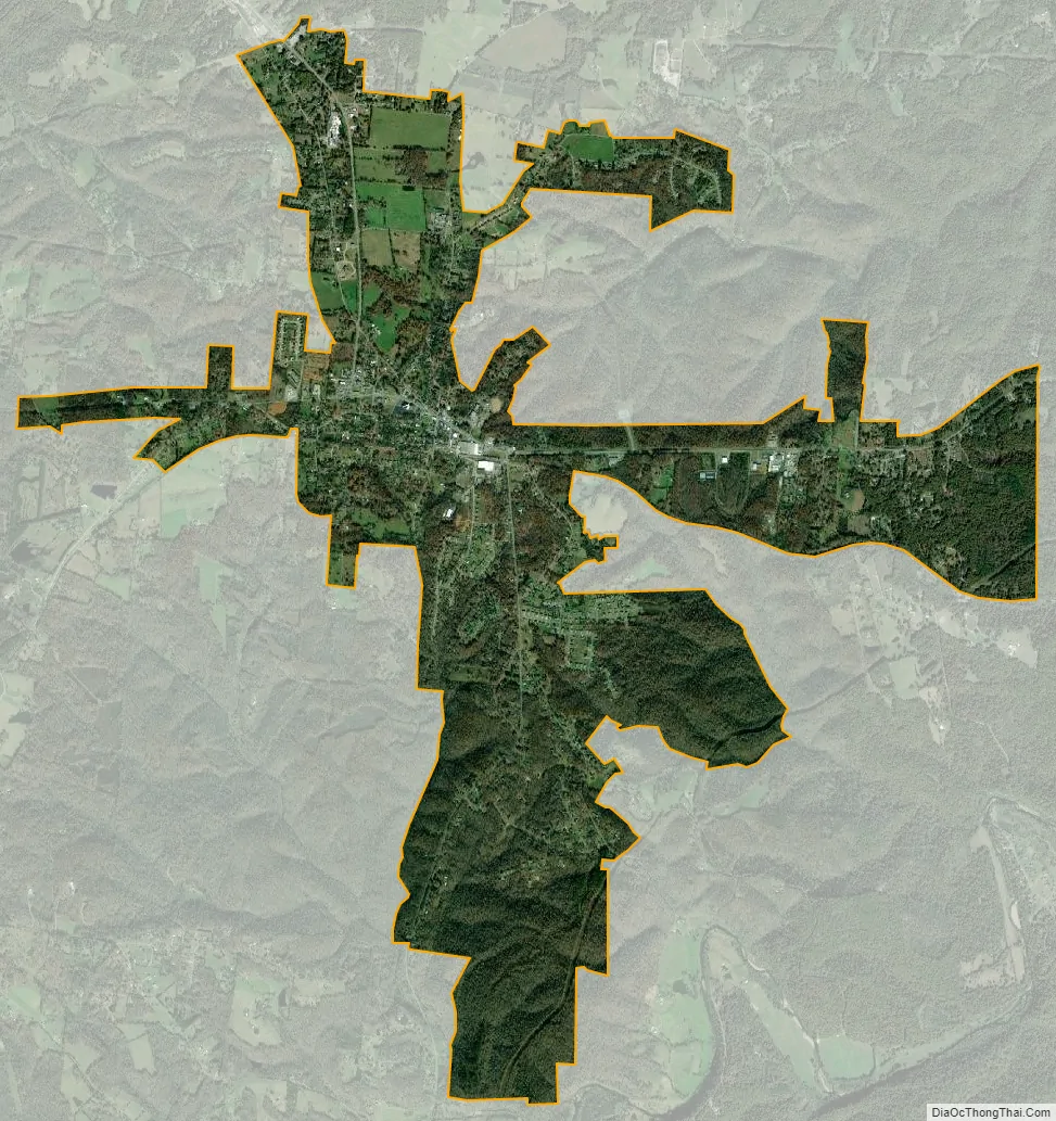
White Bluff city Satellite Map
Geography
White Bluff is located in eastern Dickson County at 36°6′29″N 87°13′13″W / 36.10806°N 87.22028°W / 36.10806; -87.22028 (36.107971, -87.220300). According to the United States Census Bureau, the town has a total area of 5.9 square miles (15.4 km), all land.
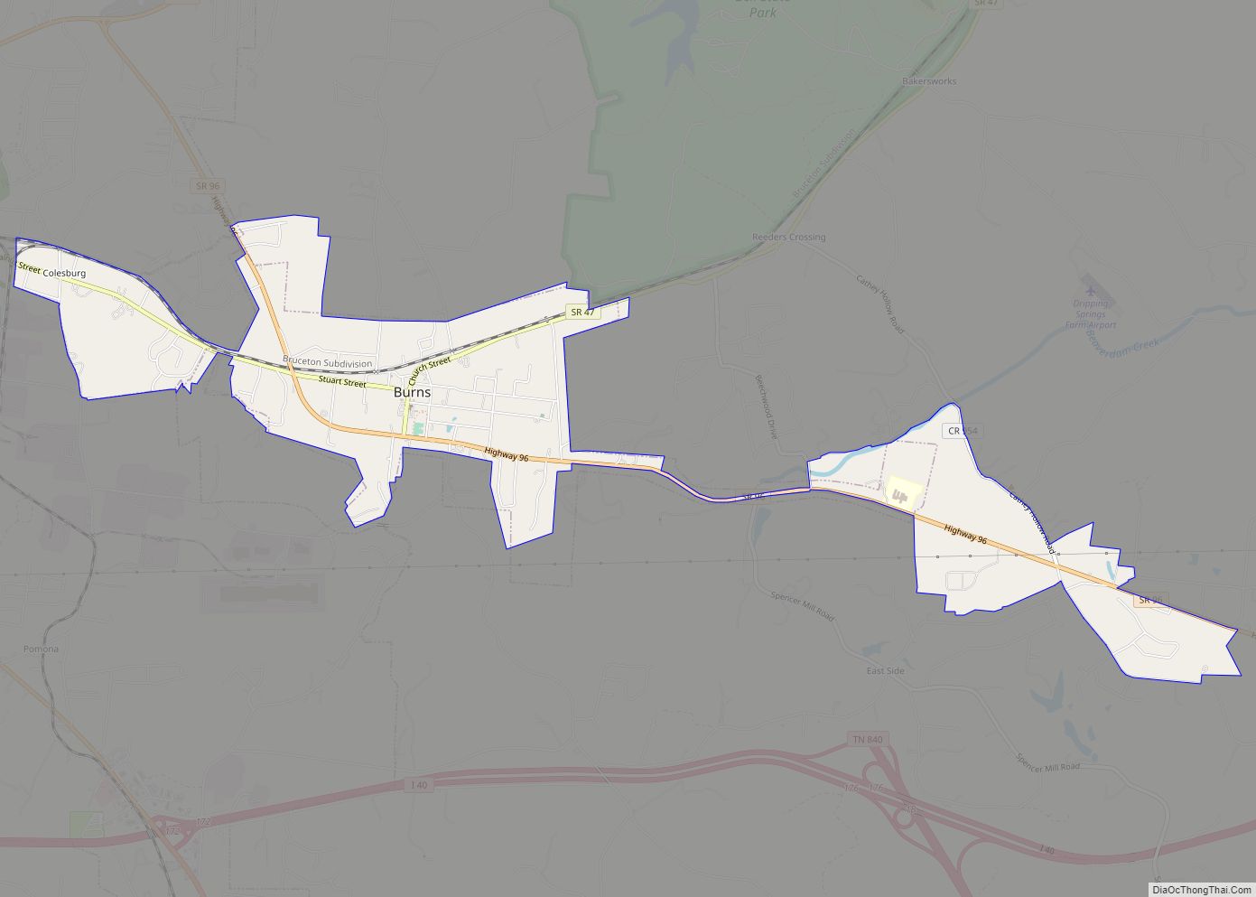
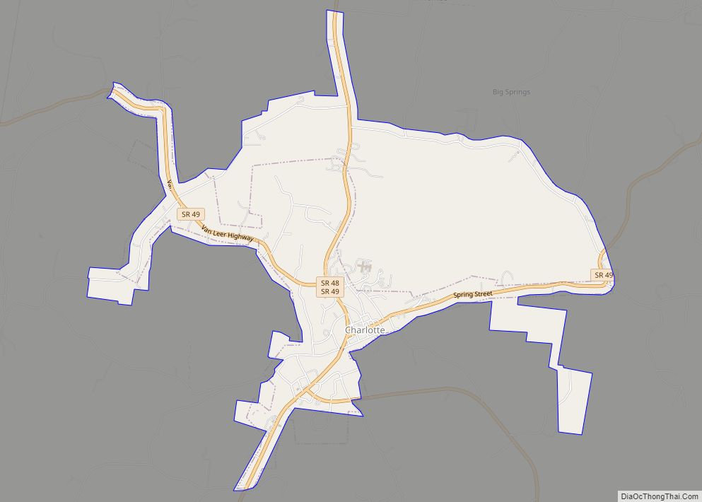
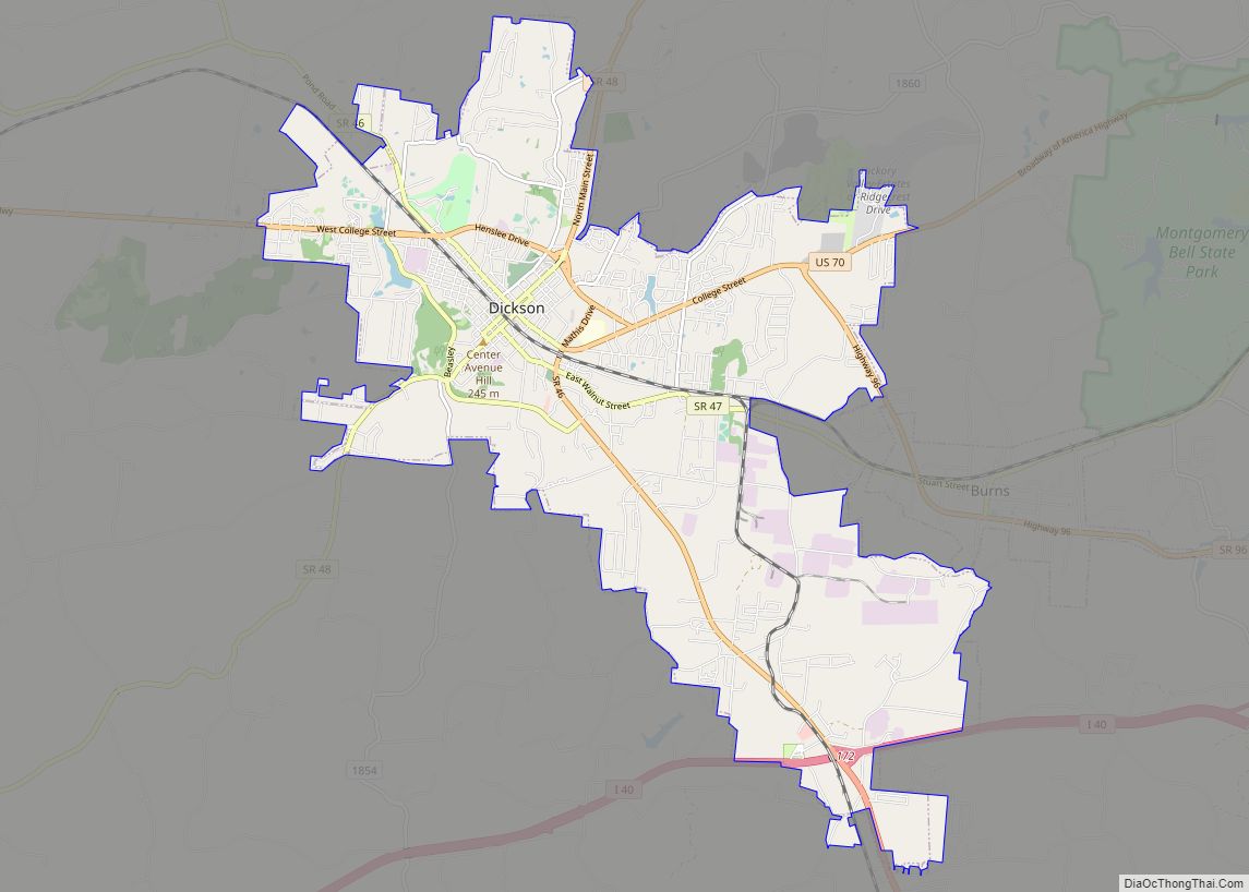
White Bluff is located on U.S. Route 70 at its junction with State Route 47. US 70 leads east 30 miles (48 km) to Nashville and west 10 miles (16 km) to Dickson. TN 47 leads southwest 7 miles (11 km) to Burns before continuing to Dickson, and northwest 9 miles (14 km) to Charlotte, the Dickson County seat.
White Bluff is east of Montgomery Bell State Park.
See also
Map of Tennessee State and its subdivision:- Anderson
- Bedford
- Benton
- Bledsoe
- Blount
- Bradley
- Campbell
- Cannon
- Carroll
- Carter
- Cheatham
- Chester
- Claiborne
- Clay
- Cocke
- Coffee
- Crockett
- Cumberland
- Davidson
- Decatur
- DeKalb
- Dickson
- Dyer
- Fayette
- Fentress
- Franklin
- Gibson
- Giles
- Grainger
- Greene
- Grundy
- Hamblen
- Hamilton
- Hancock
- Hardeman
- Hardin
- Hawkins
- Haywood
- Henderson
- Henry
- Hickman
- Houston
- Humphreys
- Jackson
- Jefferson
- Johnson
- Knox
- Lake
- Lauderdale
- Lawrence
- Lewis
- Lincoln
- Loudon
- Macon
- Madison
- Marion
- Marshall
- Maury
- McMinn
- McNairy
- Meigs
- Monroe
- Montgomery
- Moore
- Morgan
- Obion
- Overton
- Perry
- Pickett
- Polk
- Putnam
- Rhea
- Roane
- Robertson
- Rutherford
- Scott
- Sequatchie
- Sevier
- Shelby
- Smith
- Stewart
- Sullivan
- Sumner
- Tipton
- Trousdale
- Unicoi
- Union
- Van Buren
- Warren
- Washington
- Wayne
- Weakley
- White
- Williamson
- Wilson
- Alabama
- Alaska
- Arizona
- Arkansas
- California
- Colorado
- Connecticut
- Delaware
- District of Columbia
- Florida
- Georgia
- Hawaii
- Idaho
- Illinois
- Indiana
- Iowa
- Kansas
- Kentucky
- Louisiana
- Maine
- Maryland
- Massachusetts
- Michigan
- Minnesota
- Mississippi
- Missouri
- Montana
- Nebraska
- Nevada
- New Hampshire
- New Jersey
- New Mexico
- New York
- North Carolina
- North Dakota
- Ohio
- Oklahoma
- Oregon
- Pennsylvania
- Rhode Island
- South Carolina
- South Dakota
- Tennessee
- Texas
- Utah
- Vermont
- Virginia
- Washington
- West Virginia
- Wisconsin
- Wyoming