Alexis is a village in Mercer and Warren counties in Illinois, United States. The population was 793 at the 2020 census.
The Mercer County portion is part of the Davenport–Moline–Rock Island, IA-IL Metropolitan Statistical Area.
| Name: | Alexis village |
|---|---|
| LSAD Code: | 47 |
| LSAD Description: | village (suffix) |
| State: | Illinois |
| County: | Mercer County, Warren County |
| Elevation: | 699 ft (213 m) |
| Total Area: | 0.47 sq mi (1.23 km²) |
| Land Area: | 0.47 sq mi (1.23 km²) |
| Water Area: | 0.00 sq mi (0.00 km²) |
| Total Population: | 793 |
| Population Density: | 1,669.47/sq mi (644.80/km²) |
| ZIP code: | 61412 |
| Area code: | 309 |
| FIPS code: | 1700672 |
| GNISfeature ID: | 2397929 |
Online Interactive Map
Click on ![]() to view map in "full screen" mode.
to view map in "full screen" mode.
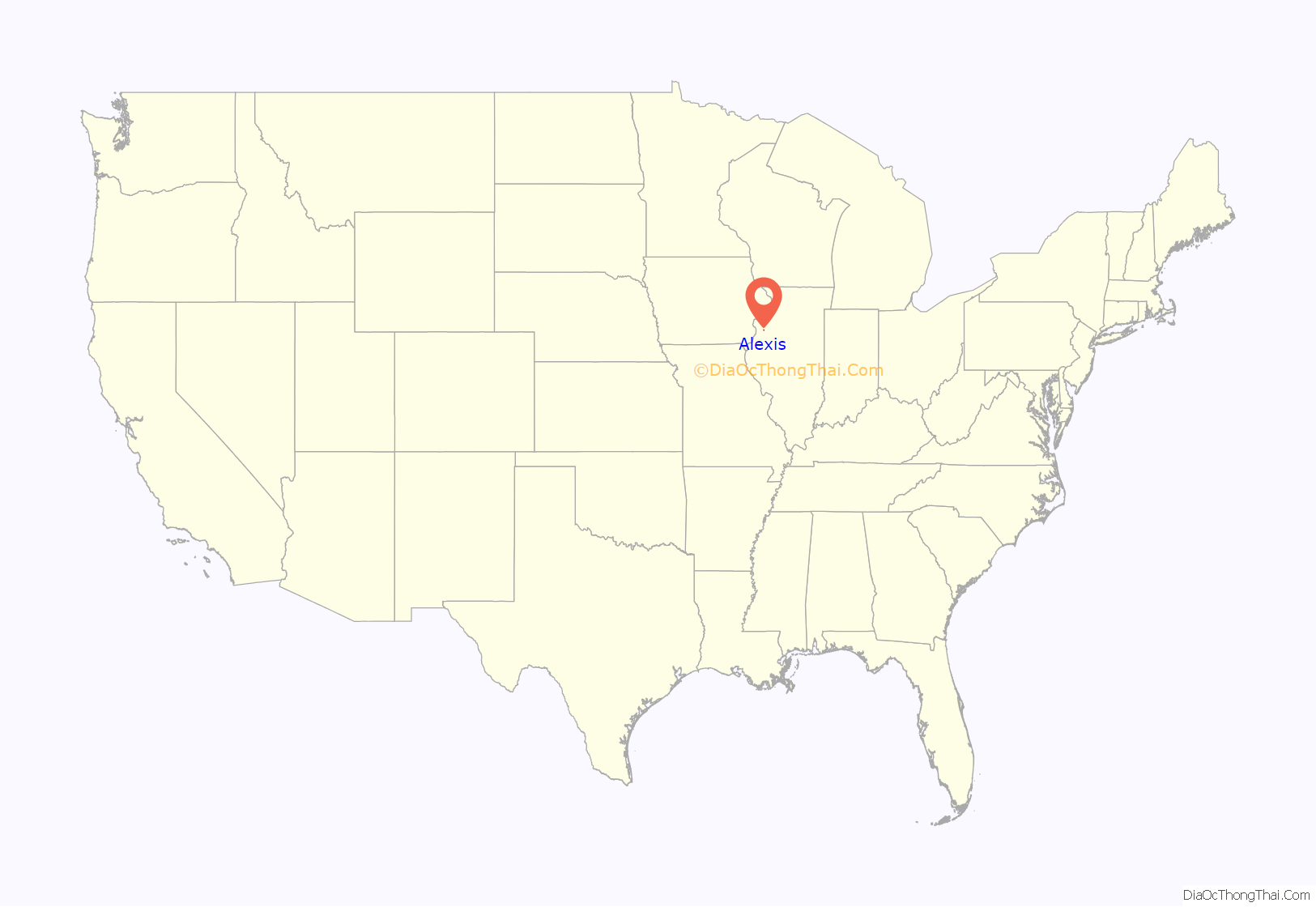
Alexis location map. Where is Alexis village?
History
Alexis was originally called Alexandria or Alexandria Station, and under the latter names was laid out in 1870 when the railroad was extended to that point. After learning of another Illinois town named Alexander, the founders wanted a new name. Around this time, Grand Duke Alexis was visiting the country, after whom the town was renamed.
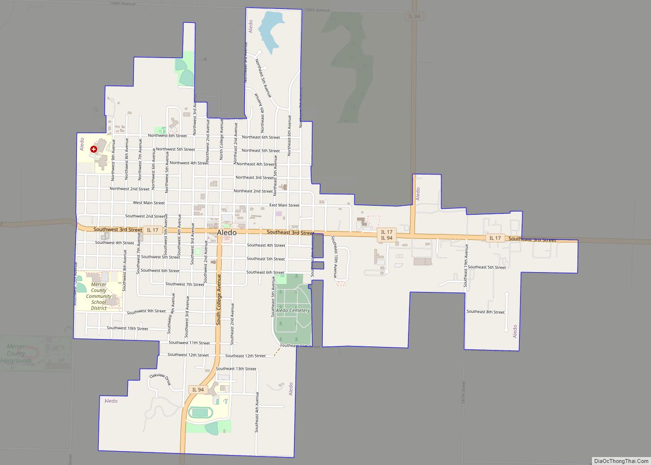
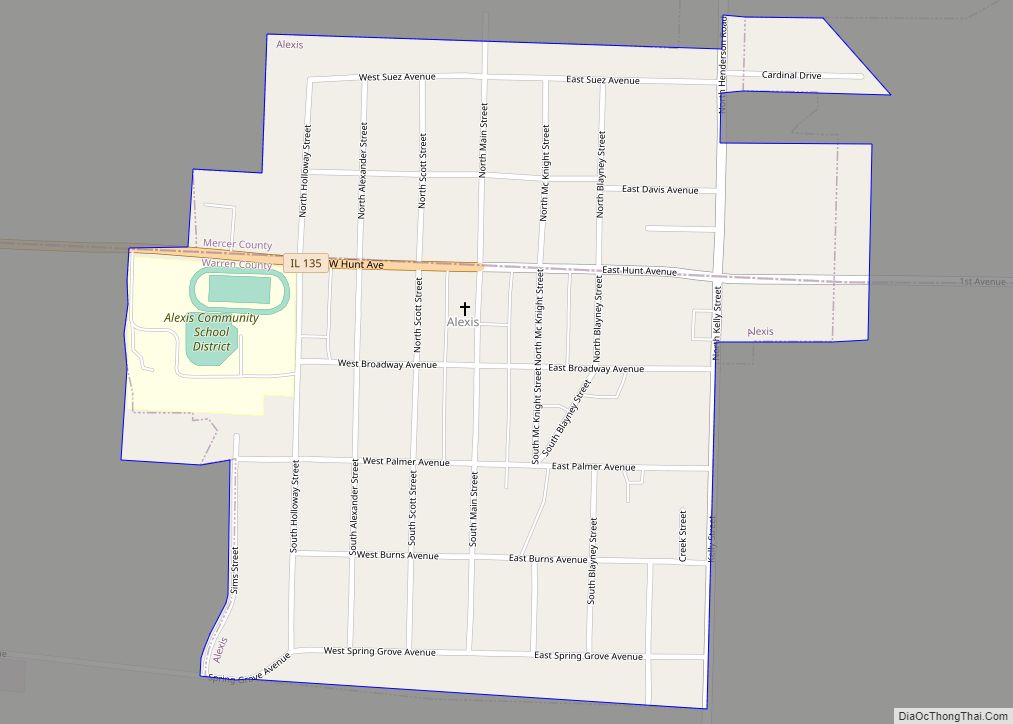
Alexis Road Map
Alexis city Satellite Map
Geography
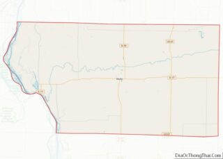
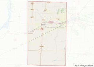
Alexis is located on the border between Warren and Mercer counties. Approximately four north-south blocks of the village are in Warren County, while two blocks north to south are in Mercer County. There are approximately six blocks measuring east to west in the village. In the 2000 census, 499 of Alexis’ 863 residents (57.8%) lived in Warren County and 364 (42.2%) lived in Mercer County.
Alexis is 14 miles (23 km) northeast of Monmouth, the Warren County seat, and 19 miles (31 km) southeast of Aledo, the Mercer County seat.
According to the 2010 census, Alexis has a total area of 0.47 square miles (1.22 km), all land. Most of the village drains south to a tributary of Middle Henderson Creek, a west-flowing tributary of Henderson Creek, which continues west to the Mississippi River south of Oquawka. The northernmost part of the village drains north to Toms Creek, another tributary of Middle Henderson Creek.
See also
Map of Illinois State and its subdivision:- Adams
- Alexander
- Bond
- Boone
- Brown
- Bureau
- Calhoun
- Carroll
- Cass
- Champaign
- Christian
- Clark
- Clay
- Clinton
- Coles
- Cook
- Crawford
- Cumberland
- De Kalb
- De Witt
- Douglas
- Dupage
- Edgar
- Edwards
- Effingham
- Fayette
- Ford
- Franklin
- Fulton
- Gallatin
- Greene
- Grundy
- Hamilton
- Hancock
- Hardin
- Henderson
- Henry
- Iroquois
- Jackson
- Jasper
- Jefferson
- Jersey
- Jo Daviess
- Johnson
- Kane
- Kankakee
- Kendall
- Knox
- La Salle
- Lake
- Lake Michigan
- Lawrence
- Lee
- Livingston
- Logan
- Macon
- Macoupin
- Madison
- Marion
- Marshall
- Mason
- Massac
- McDonough
- McHenry
- McLean
- Menard
- Mercer
- Monroe
- Montgomery
- Morgan
- Moultrie
- Ogle
- Peoria
- Perry
- Piatt
- Pike
- Pope
- Pulaski
- Putnam
- Randolph
- Richland
- Rock Island
- Saint Clair
- Saline
- Sangamon
- Schuyler
- Scott
- Shelby
- Stark
- Stephenson
- Tazewell
- Union
- Vermilion
- Wabash
- Warren
- Washington
- Wayne
- White
- Whiteside
- Will
- Williamson
- Winnebago
- Woodford
- Alabama
- Alaska
- Arizona
- Arkansas
- California
- Colorado
- Connecticut
- Delaware
- District of Columbia
- Florida
- Georgia
- Hawaii
- Idaho
- Illinois
- Indiana
- Iowa
- Kansas
- Kentucky
- Louisiana
- Maine
- Maryland
- Massachusetts
- Michigan
- Minnesota
- Mississippi
- Missouri
- Montana
- Nebraska
- Nevada
- New Hampshire
- New Jersey
- New Mexico
- New York
- North Carolina
- North Dakota
- Ohio
- Oklahoma
- Oregon
- Pennsylvania
- Rhode Island
- South Carolina
- South Dakota
- Tennessee
- Texas
- Utah
- Vermont
- Virginia
- Washington
- West Virginia
- Wisconsin
- Wyoming
