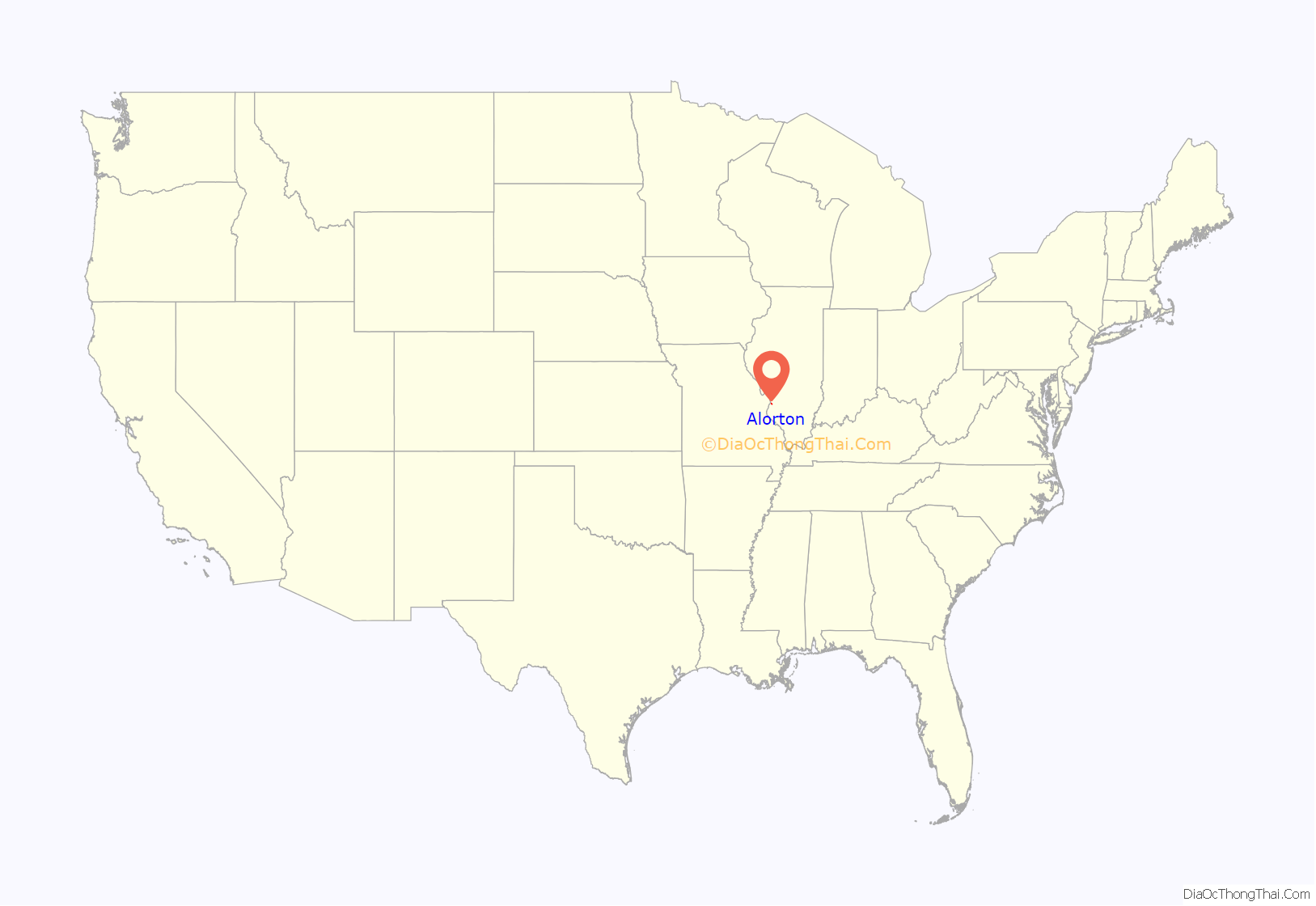
Alorton (formerly Alcoa) was a village in St. Clair County, Illinois, United States. Incorporated in 1944, it was one of three municipalities that merged to form the city of Cahokia Heights on May 6, 2021; the other two were the village of Cahokia and the city of Centreville. Prior to merger, Alorton had a population of 1,566 and land area of 1.8 square miles (4.7 km) in the 2020 Census.
Alorton was home to Cahokia Downs, an American horse racing track located on Highway 15 which hosted both Standardbred harness racing and Thoroughbred flat racing events from 1954 until 1979.
The name Alorton is most likely an abbreviation of “aluminum ore town”.
| Name: | Alorton village |
|---|---|
| LSAD Code: | 47 |
| LSAD Description: | village (suffix) |
| State: | Illinois |
| County: | St. Clair County |
| Incorporated: | September 26, 1944 (1944-09-26) |
| Total Area: | 1.84 sq mi (4.76 km²) |
| Land Area: | 1.81 sq mi (4.68 km²) |
| Water Area: | 0.03 sq mi (0.08 km²) |
| Total Population: | 2,002 |
| Population Density: | 1,051.44/sq mi (406.05/km²) |
| Area code: | 618 |
| FIPS code: | 1700958 |
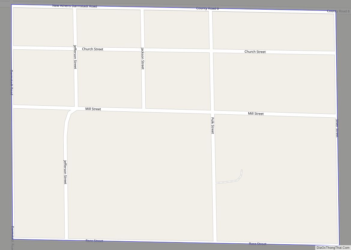
Online Interactive Map
Click on ![]() to view map in "full screen" mode.
to view map in "full screen" mode.
Alorton location map. Where is Alorton village?
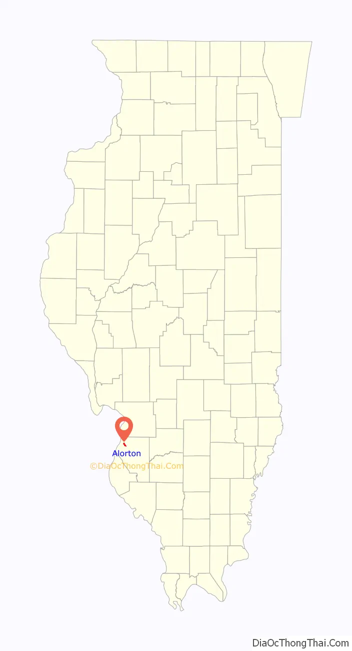
Alorton Road Map
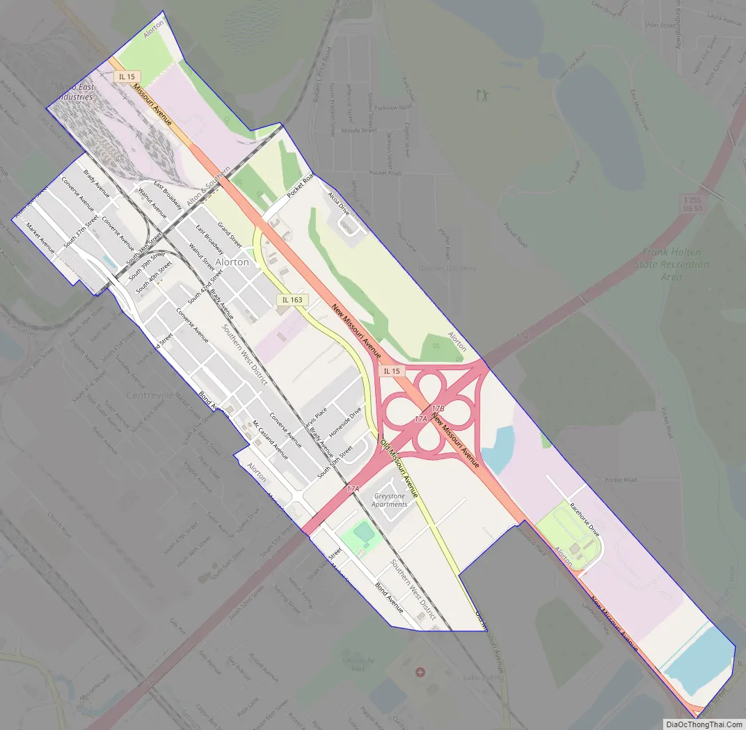
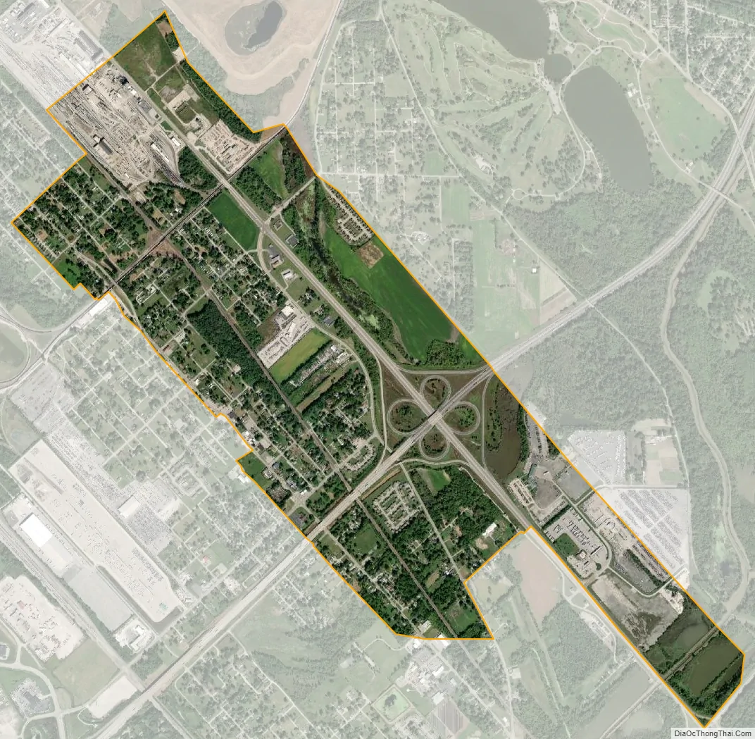
Alorton city Satellite Map
Geography
Alorton was located at 38°35′3″N 90°7′4″W / 38.58417°N 90.11778°W / 38.58417; -90.11778 (38.584094, -90.117720).
According to the 2010 census, Alorton had a total area of 1.83 square miles (4.74 km), of which 1.8 square miles (4.66 km) (or 98.36%) is land and 0.03 square miles (0.08 km) (or 1.64%) is water.
See also
Map of Illinois State and its subdivision:- Adams
- Alexander
- Bond
- Boone
- Brown
- Bureau
- Calhoun
- Carroll
- Cass
- Champaign
- Christian
- Clark
- Clay
- Clinton
- Coles
- Cook
- Crawford
- Cumberland
- De Kalb
- De Witt
- Douglas
- Dupage
- Edgar
- Edwards
- Effingham
- Fayette
- Ford
- Franklin
- Fulton
- Gallatin
- Greene
- Grundy
- Hamilton
- Hancock
- Hardin
- Henderson
- Henry
- Iroquois
- Jackson
- Jasper
- Jefferson
- Jersey
- Jo Daviess
- Johnson
- Kane
- Kankakee
- Kendall
- Knox
- La Salle
- Lake
- Lake Michigan
- Lawrence
- Lee
- Livingston
- Logan
- Macon
- Macoupin
- Madison
- Marion
- Marshall
- Mason
- Massac
- McDonough
- McHenry
- McLean
- Menard
- Mercer
- Monroe
- Montgomery
- Morgan
- Moultrie
- Ogle
- Peoria
- Perry
- Piatt
- Pike
- Pope
- Pulaski
- Putnam
- Randolph
- Richland
- Rock Island
- Saint Clair
- Saline
- Sangamon
- Schuyler
- Scott
- Shelby
- Stark
- Stephenson
- Tazewell
- Union
- Vermilion
- Wabash
- Warren
- Washington
- Wayne
- White
- Whiteside
- Will
- Williamson
- Winnebago
- Woodford
- Alabama
- Alaska
- Arizona
- Arkansas
- California
- Colorado
- Connecticut
- Delaware
- District of Columbia
- Florida
- Georgia
- Hawaii
- Idaho
- Illinois
- Indiana
- Iowa
- Kansas
- Kentucky
- Louisiana
- Maine
- Maryland
- Massachusetts
- Michigan
- Minnesota
- Mississippi
- Missouri
- Montana
- Nebraska
- Nevada
- New Hampshire
- New Jersey
- New Mexico
- New York
- North Carolina
- North Dakota
- Ohio
- Oklahoma
- Oregon
- Pennsylvania
- Rhode Island
- South Carolina
- South Dakota
- Tennessee
- Texas
- Utah
- Vermont
- Virginia
- Washington
- West Virginia
- Wisconsin
- Wyoming