Alpha is a village in Henry County, Illinois, United States. The population was 671 at the 2010 census, down from 726 in 2000.
| Name: | Alpha village |
|---|---|
| LSAD Code: | 47 |
| LSAD Description: | village (suffix) |
| State: | Illinois |
| County: | Henry County |
| Total Area: | 0.31 sq mi (0.81 km²) |
| Land Area: | 0.31 sq mi (0.81 km²) |
| Water Area: | 0.00 sq mi (0.00 km²) |
| Total Population: | 675 |
| Population Density: | 2,170.42/sq mi (838.33/km²) |
| Area code: | 309 |
| FIPS code: | 1700971 |
| Website: | villageofalpha.org |
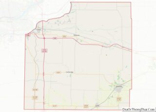
Online Interactive Map
Click on ![]() to view map in "full screen" mode.
to view map in "full screen" mode.
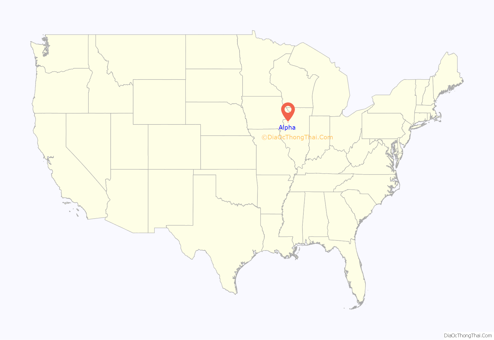
Alpha location map. Where is Alpha village?
History
On June 1, 1872, Anson Calkins laid out the village of Alpha. Alpha was created as a railroad town and replaced the town of Oxford, which was located about three miles west of current day Alpha. It was located at the junction between two lines of the Chicago, Burlington, and Quincy Railroad, and a since-razed depot was located at the junction. The north-south branch between Galesburg and Savanna crossed an east-west branch between Galva and New Boston. The east-west line has been abandoned and the north-south line is in operation as the BNSF Barstow Subdivision. The village was named Alpha (the first letter of the Greek alphabet), because Calkins believed it to be the beginnings of a great city. It was incorporated on January 11, 1895. In the early 1980s, director Barry Levinson looked at Alpha’s railroad car diner as a possible location for filming scenes for his 1982 film Diner.
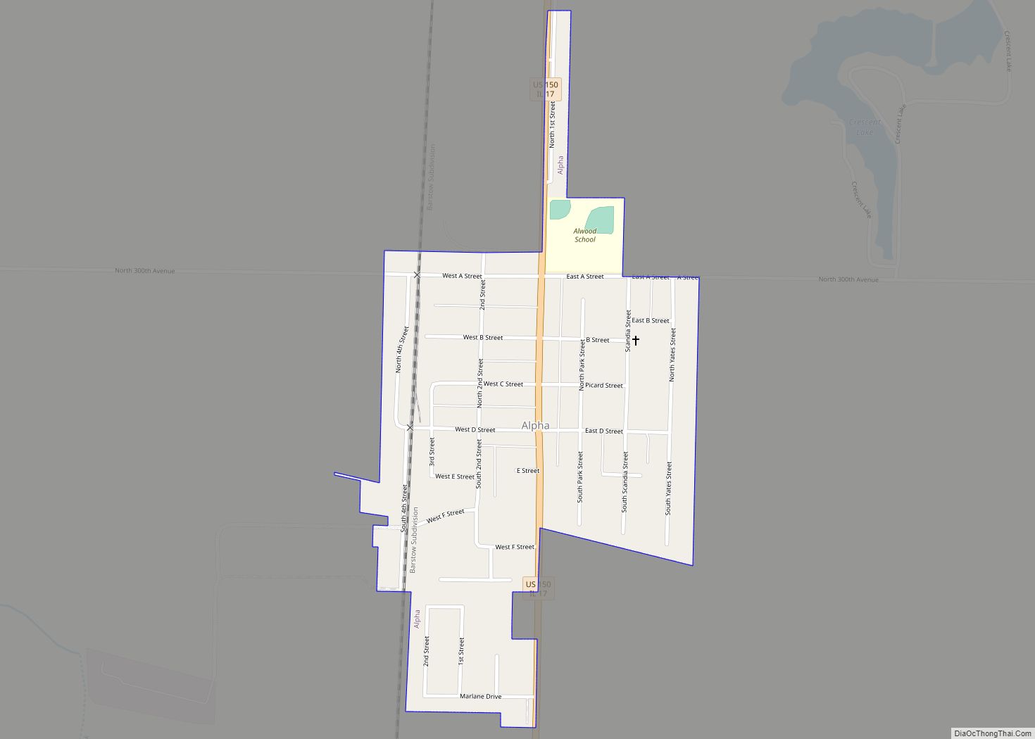
Alpha Road Map
Alpha city Satellite Map
Geography
Alpha is located at 41°11′32″N 90°22′51″W / 41.19222°N 90.38083°W / 41.19222; -90.38083 (41.192203, -90.380943).
According to the 2010 census, Alpha has a total area of 0.32 square miles (0.83 km), all land.
See also
Map of Illinois State and its subdivision:- Adams
- Alexander
- Bond
- Boone
- Brown
- Bureau
- Calhoun
- Carroll
- Cass
- Champaign
- Christian
- Clark
- Clay
- Clinton
- Coles
- Cook
- Crawford
- Cumberland
- De Kalb
- De Witt
- Douglas
- Dupage
- Edgar
- Edwards
- Effingham
- Fayette
- Ford
- Franklin
- Fulton
- Gallatin
- Greene
- Grundy
- Hamilton
- Hancock
- Hardin
- Henderson
- Henry
- Iroquois
- Jackson
- Jasper
- Jefferson
- Jersey
- Jo Daviess
- Johnson
- Kane
- Kankakee
- Kendall
- Knox
- La Salle
- Lake
- Lake Michigan
- Lawrence
- Lee
- Livingston
- Logan
- Macon
- Macoupin
- Madison
- Marion
- Marshall
- Mason
- Massac
- McDonough
- McHenry
- McLean
- Menard
- Mercer
- Monroe
- Montgomery
- Morgan
- Moultrie
- Ogle
- Peoria
- Perry
- Piatt
- Pike
- Pope
- Pulaski
- Putnam
- Randolph
- Richland
- Rock Island
- Saint Clair
- Saline
- Sangamon
- Schuyler
- Scott
- Shelby
- Stark
- Stephenson
- Tazewell
- Union
- Vermilion
- Wabash
- Warren
- Washington
- Wayne
- White
- Whiteside
- Will
- Williamson
- Winnebago
- Woodford
- Alabama
- Alaska
- Arizona
- Arkansas
- California
- Colorado
- Connecticut
- Delaware
- District of Columbia
- Florida
- Georgia
- Hawaii
- Idaho
- Illinois
- Indiana
- Iowa
- Kansas
- Kentucky
- Louisiana
- Maine
- Maryland
- Massachusetts
- Michigan
- Minnesota
- Mississippi
- Missouri
- Montana
- Nebraska
- Nevada
- New Hampshire
- New Jersey
- New Mexico
- New York
- North Carolina
- North Dakota
- Ohio
- Oklahoma
- Oregon
- Pennsylvania
- Rhode Island
- South Carolina
- South Dakota
- Tennessee
- Texas
- Utah
- Vermont
- Virginia
- Washington
- West Virginia
- Wisconsin
- Wyoming
