Bannockburn is a village in West Deerfield and Vernon townships in Lake County, Illinois, United States. Per the 2020 census, the population was 1,013. The village is generally considered part of the Chicago area’s North Shore region. The Friedman house by Frank Lloyd Wright is located in Bannockburn.
Bannockburn was founded by Scottish real estate developer William Aitken, who planned a community of “country estates” on 110 acres (0.45 km) in inland Lake County. Named for the Scottish village of Bannockburn, the village began construction in 1924 and was incorporated in 1929. Aitken designed his development for the affluent members of his bridge and country club. His plan for Bannockburn featured large lots to imitate country living, and this design has been preserved; in fact, the original 1-acre (4,000 m) minimum on home lots has been increased to two.
Gradually, Bannockburn expanded its boundaries to its current 1,318 acres (5.33 km). The Tri-State Tollway was built through the village in the 1950s, encouraging growth, though traffic noise pollution has been a persistent local concern. In the late 1960s Bannockburn’s citizens, after some debate, approved the construction of the first of several business parks along the village’s northern edge. It created its first commercial zone in 1984 along Illinois Route 22. Bannockburn’s municipal services expanded slowly in an effort to limit taxes, but it established a police department in the 1970s and built a village hall in 1992.
| Name: | Bannockburn village |
|---|---|
| LSAD Code: | 47 |
| LSAD Description: | village (suffix) |
| State: | Illinois |
| County: | Lake County |
| Total Area: | 2.05 sq mi (5.31 km²) |
| Land Area: | 2.03 sq mi (5.25 km²) |
| Water Area: | 0.02 sq mi (0.06 km²) |
| Total Population: | 1,013 |
| Population Density: | 499.51/sq mi (192.85/km²) |
| Area code: | 847 |
| FIPS code: | 1703610 |
| Website: | www.bannockburn.org |
Online Interactive Map
Click on ![]() to view map in "full screen" mode.
to view map in "full screen" mode.
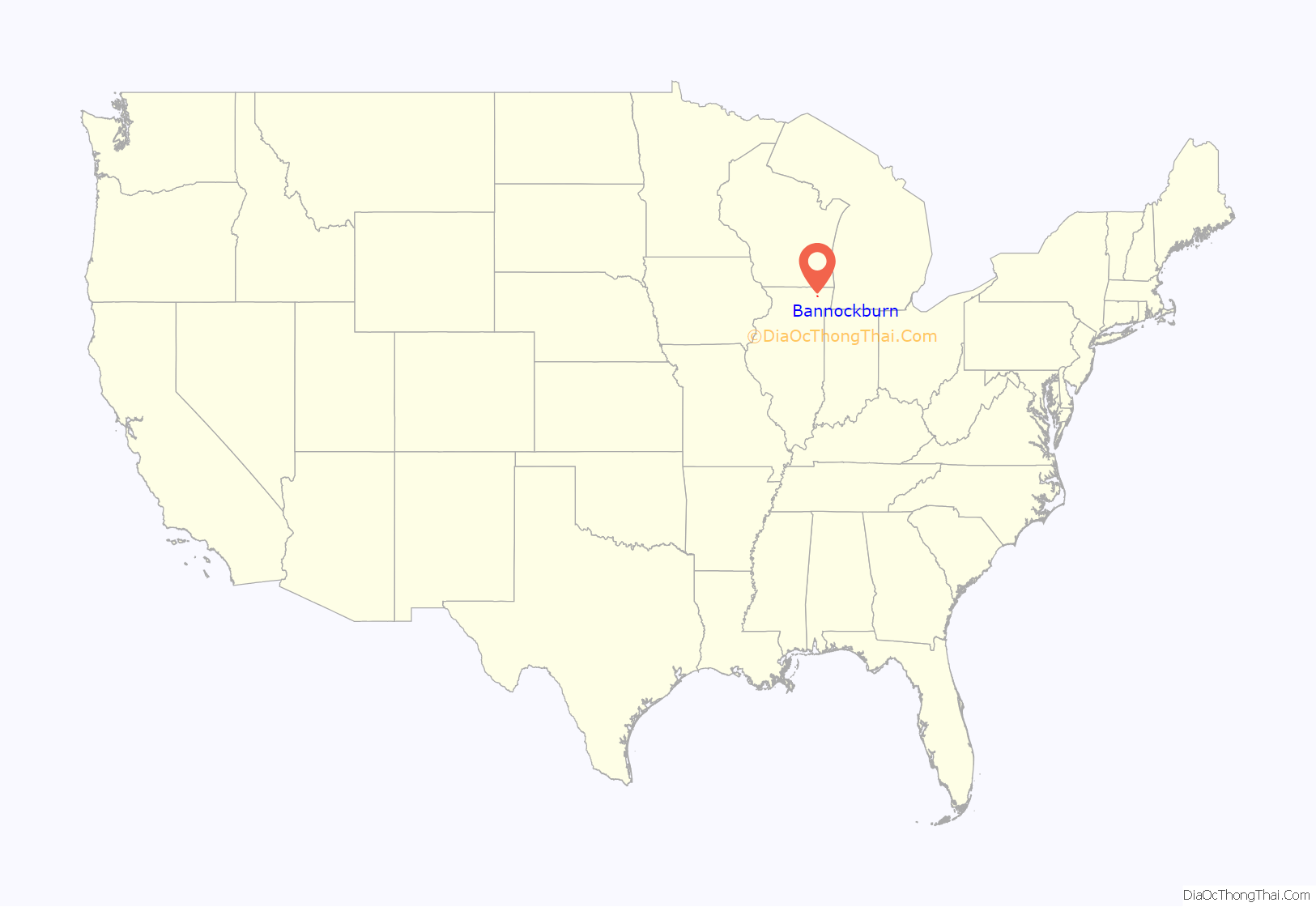
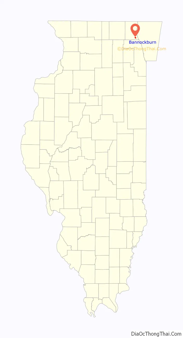
Bannockburn location map. Where is Bannockburn village?
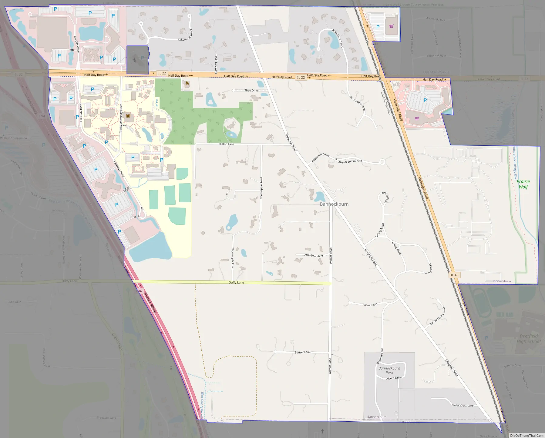
Bannockburn Road Map
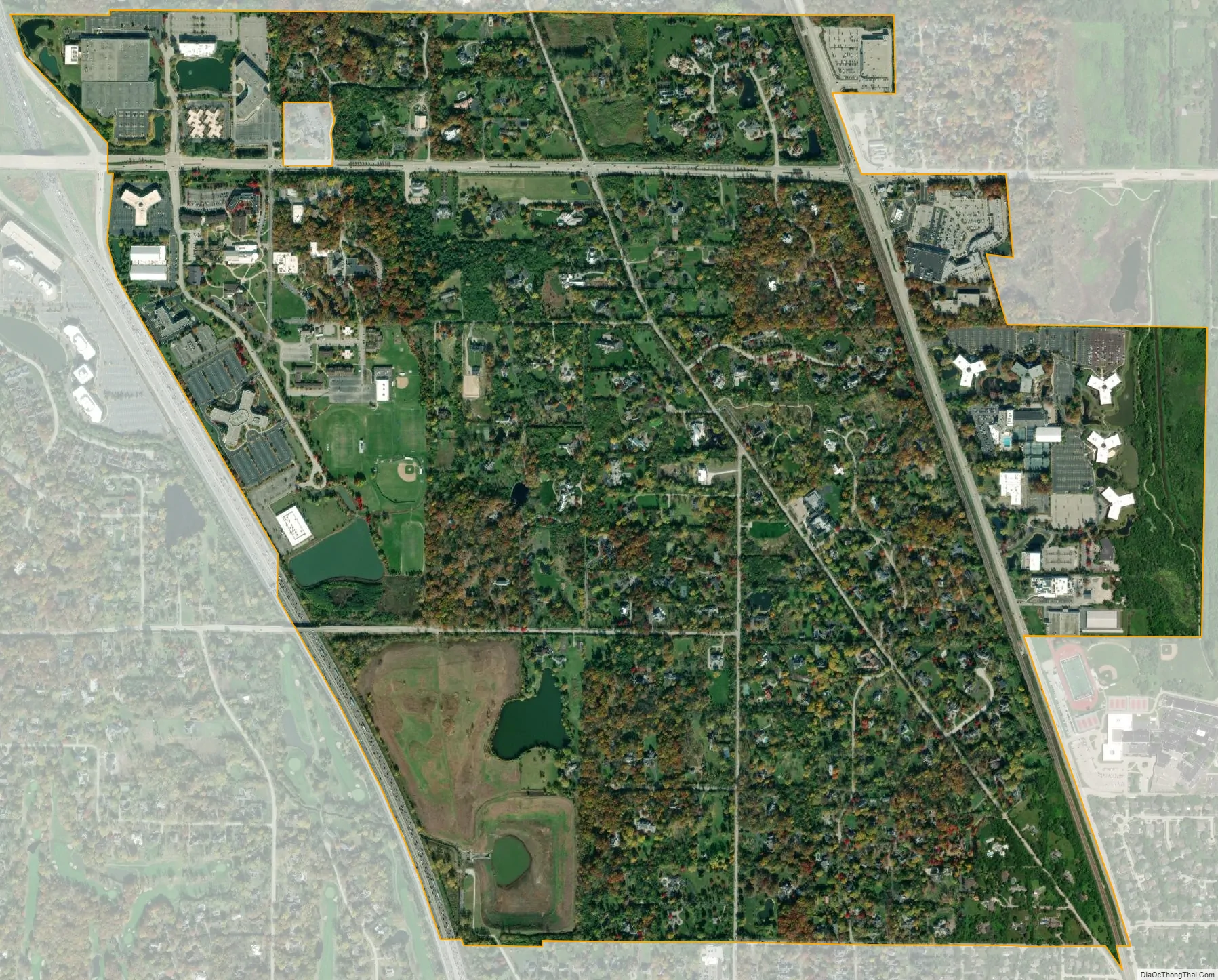
Bannockburn city Satellite Map
Geography
Bannockburn is located at 42°11′29″N 87°51′47″W / 42.19139°N 87.86306°W / 42.19139; -87.86306.
According to the 2010 census, Bannockburn has a total area of 2.043 square miles (5.29 km), of which 2.02 square miles (5.23 km) (or 98.87%) is land and 0.023 square miles (0.06 km) (or 1.13%) is water. The Tri-State Tollway forms the village’s western boundary, with the village of Lincolnshire present on the other side of the highway; the city of Lake Forest borders the village to the north, and the village of Deerfield lies to the south. The lake-side communities of Highwood and Highland Park lie directly to the east, separating Bannockburn from Lake Michigan.
See also
Map of Illinois State and its subdivision:- Adams
- Alexander
- Bond
- Boone
- Brown
- Bureau
- Calhoun
- Carroll
- Cass
- Champaign
- Christian
- Clark
- Clay
- Clinton
- Coles
- Cook
- Crawford
- Cumberland
- De Kalb
- De Witt
- Douglas
- Dupage
- Edgar
- Edwards
- Effingham
- Fayette
- Ford
- Franklin
- Fulton
- Gallatin
- Greene
- Grundy
- Hamilton
- Hancock
- Hardin
- Henderson
- Henry
- Iroquois
- Jackson
- Jasper
- Jefferson
- Jersey
- Jo Daviess
- Johnson
- Kane
- Kankakee
- Kendall
- Knox
- La Salle
- Lake
- Lake Michigan
- Lawrence
- Lee
- Livingston
- Logan
- Macon
- Macoupin
- Madison
- Marion
- Marshall
- Mason
- Massac
- McDonough
- McHenry
- McLean
- Menard
- Mercer
- Monroe
- Montgomery
- Morgan
- Moultrie
- Ogle
- Peoria
- Perry
- Piatt
- Pike
- Pope
- Pulaski
- Putnam
- Randolph
- Richland
- Rock Island
- Saint Clair
- Saline
- Sangamon
- Schuyler
- Scott
- Shelby
- Stark
- Stephenson
- Tazewell
- Union
- Vermilion
- Wabash
- Warren
- Washington
- Wayne
- White
- Whiteside
- Will
- Williamson
- Winnebago
- Woodford
- Alabama
- Alaska
- Arizona
- Arkansas
- California
- Colorado
- Connecticut
- Delaware
- District of Columbia
- Florida
- Georgia
- Hawaii
- Idaho
- Illinois
- Indiana
- Iowa
- Kansas
- Kentucky
- Louisiana
- Maine
- Maryland
- Massachusetts
- Michigan
- Minnesota
- Mississippi
- Missouri
- Montana
- Nebraska
- Nevada
- New Hampshire
- New Jersey
- New Mexico
- New York
- North Carolina
- North Dakota
- Ohio
- Oklahoma
- Oregon
- Pennsylvania
- Rhode Island
- South Carolina
- South Dakota
- Tennessee
- Texas
- Utah
- Vermont
- Virginia
- Washington
- West Virginia
- Wisconsin
- Wyoming


