Bunker Hill is a city in Macoupin County, Illinois, United States. The population was 1,630 at the 2020 census, down from 1,774 in 2010.
| Name: | Bunker Hill city |
|---|---|
| LSAD Code: | 25 |
| LSAD Description: | city (suffix) |
| State: | Illinois |
| County: | Macoupin County |
| Elevation: | 656 ft (200 m) |
| Total Area: | 1.31 sq mi (3.38 km²) |
| Land Area: | 1.28 sq mi (3.32 km²) |
| Water Area: | 0.03 sq mi (0.07 km²) |
| Total Population: | 1,630 |
| Population Density: | 1,272.44/sq mi (491.12/km²) |
| ZIP code: | 62014 |
| Area code: | 618 |
| FIPS code: | 1709577 |
| GNISfeature ID: | 2393463 |
| Website: | www.cityofbunkerhillil.org |
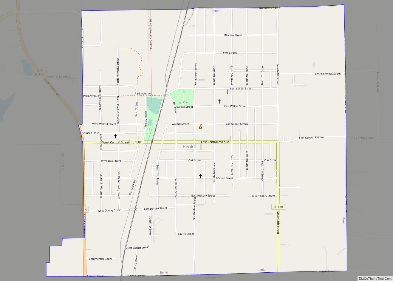
Online Interactive Map
Click on ![]() to view map in "full screen" mode.
to view map in "full screen" mode.
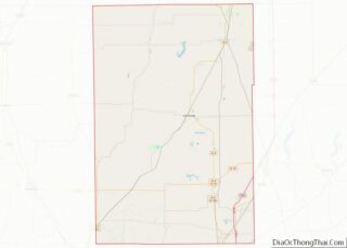
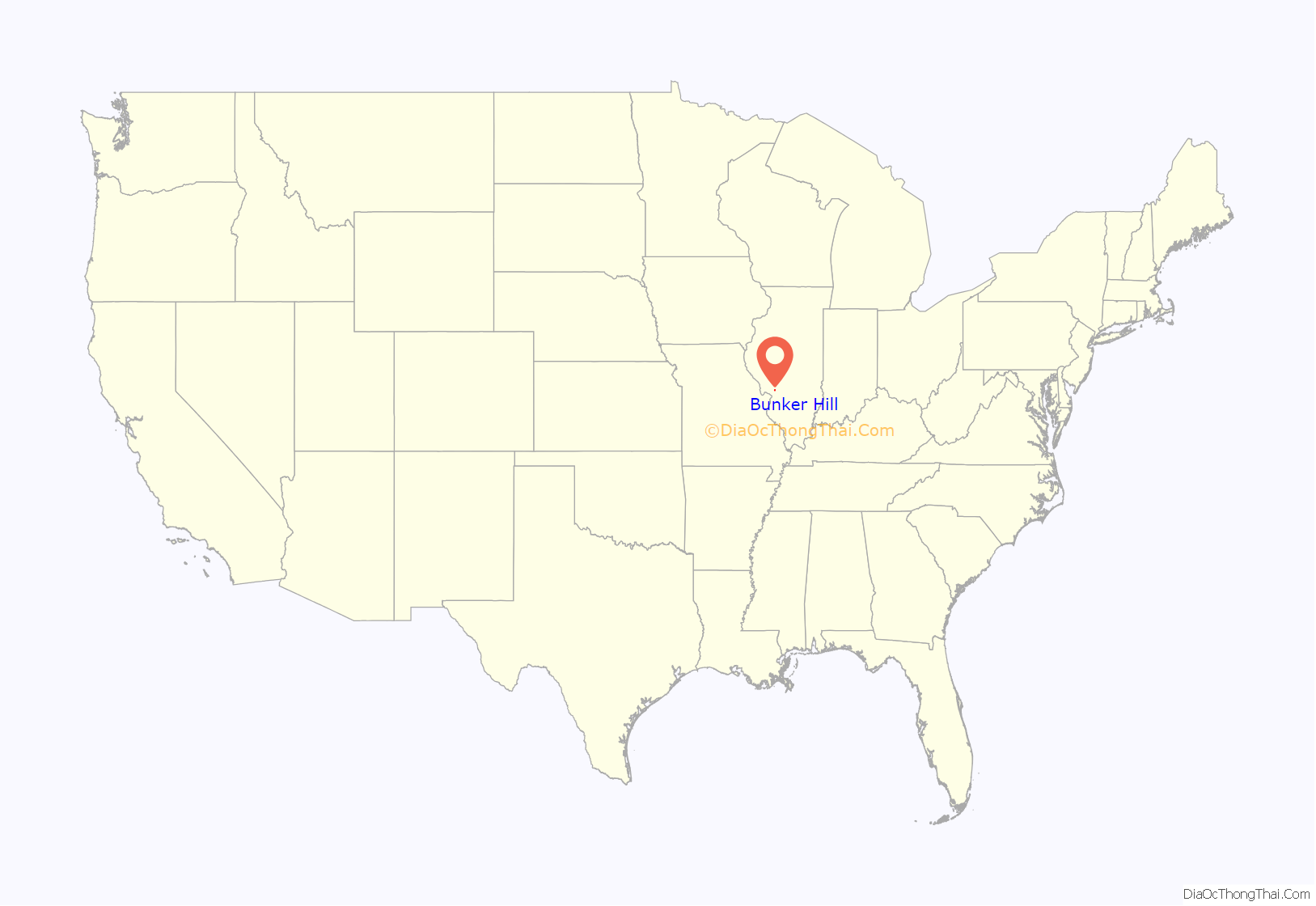
Bunker Hill location map. Where is Bunker Hill city?
History
Settlement
The original inhabitants of the Bunker Hill area were the Peoria people, Kickapoo people, and Winnebago people. They were forcibly removed from the area by the United States government around 1830.
As Euro-Americans arrived in Macoupin County, the site of the future Bunker Hill was settled in 1830. At that time, the area was known as “Wolf Ridge”, due to the presence of wolves in the vicinity. The first settler was Elijah Lincoln in 1830, who established a land claim one and a half miles southwest of present Bunker Hill. Shortly after he made his claim, Lincoln and a Mr. Tuttle laid out a town, named “Lincoln” after the first settler. The earliest post office in the area was established in 1833 a mile south of Lincoln. A school house was built around 1831, and was also used as the meeting hall for the Baptist denomination. The first church in the area was built by the Baptists. The second was the Congregational church in nearby Woodburn.
In 1834, County Surveyor Luke Knowlton entered 80 acres (320,000 m) of land that now cover the center of Bunker Hill. On December 25, 1835, Moses True of Salisbury, New Hampshire, John Tilden of Boston, Massachusetts, and Robert Smith of Alton, Illinois, visited Lincoln and formed a company to plat a town and improve the surrounding countryside. By 1836, the settlement of Lincoln had been abandoned, prompting Moses and company to establish a new town, which became Bunker Hill in 1837.
The tornado of 1948
At 6:45am CST on March 19, 1948, a tornado that originated in Alton, Illinois, blew through Bunker Hill, destroying the majority of the town’s buildings and killing 19 people. Although the tornado was only in town for less than a minute, the destruction was devastating. The downtown business district lost many of its buildings. The streets were impassable due to rubble from the storm. The newly renovated Meissner School was one of few buildings virtually undamaged by the tornado. A first aid station was set up in the school, with a temporary morgue in another classroom. By 9:00 am, ambulances from Alton, Carlinville, Litchfield, and Gillespie arrived to transport the injured to local hospitals. By the end of the day, National Guard units, US Army units, the Red Cross, Salvation Army, American Legion, VFW, and Illinois State Police had arrived to restore order and provide assistance to the citizens of Bunker Hill.
The Army and National Guard established patrols to minimize looting, and the State Police set up road blocks to keep sightseers away. The Red Cross, Salvation Army, and Lebanon American Legion opened food stations to feed the volunteers and homeless citizens of the town. Bahn’s Grocery Store donated their entire stock for the food stations. A temporary post office was opened in the lobby of the First National Bank. Local farmers brought their tractors and bulldozers to town to clear rubble and reopen the streets.
By evening, the Red Cross had pitched tents in front of Meissner School to house the newly homeless citizens. 126 people were injured and 19 killed by the tornado. Property damage was estimated between four and five million dollars. All five churches in Bunker Hill were destroyed by the tornado, prompting two local ministers, Rev. Burke of the First Congregational Church and Rev. Johnson of the Baptist Church, to conduct the Easter Sunday services on March 28, 1948, using a bulldozer as a pulpit. An estimated 500 residents and volunteers gathered at the center of town for the sermons before returning to work.
A brick pavilion stood in the middle of the intersection of Washington and Warren Streets prior to the tornado. The pavilion, which had been used as a bandstand for community events, was not rebuilt after the tornado, instead being replaced by a flagpole and memorial to local military veterans.
Bunker Hill Military Academy
Bunker Hill was the home of the Bunker Hill Military Academy toward the end of the 19th and beginning of the 20th centuries. The school opened in 1859 as the Bunker Hill Academy, but closed during the Civil War. From 1862 until 1869, the building housed Bunker Hill’s public school. In 1883, the military academy was established in the aging building, offering strict instruction to local children as well as the cadets. The academy remained open until 1914. After the 1948 tornado, the grounds were donated to the American Legion, which built a local post and park on the site.
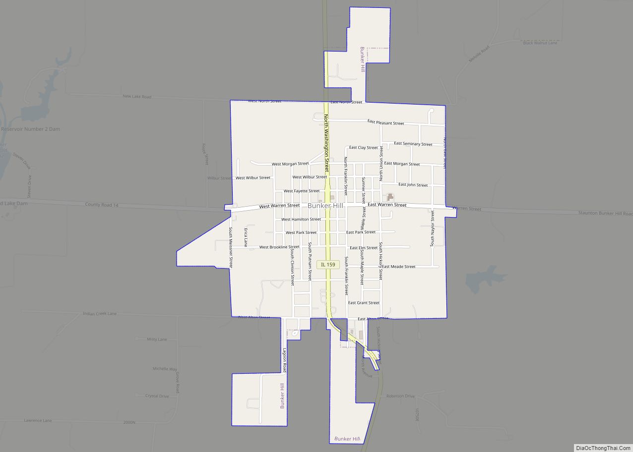
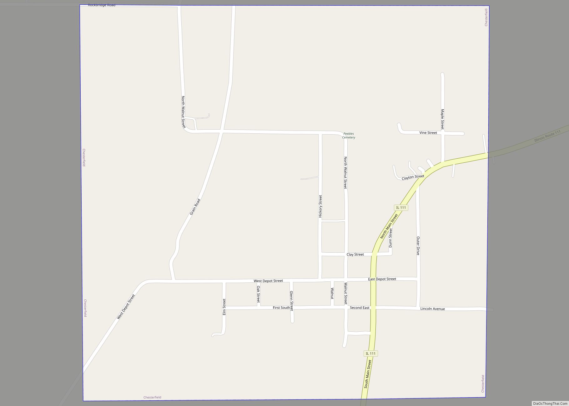
Bunker Hill Road Map
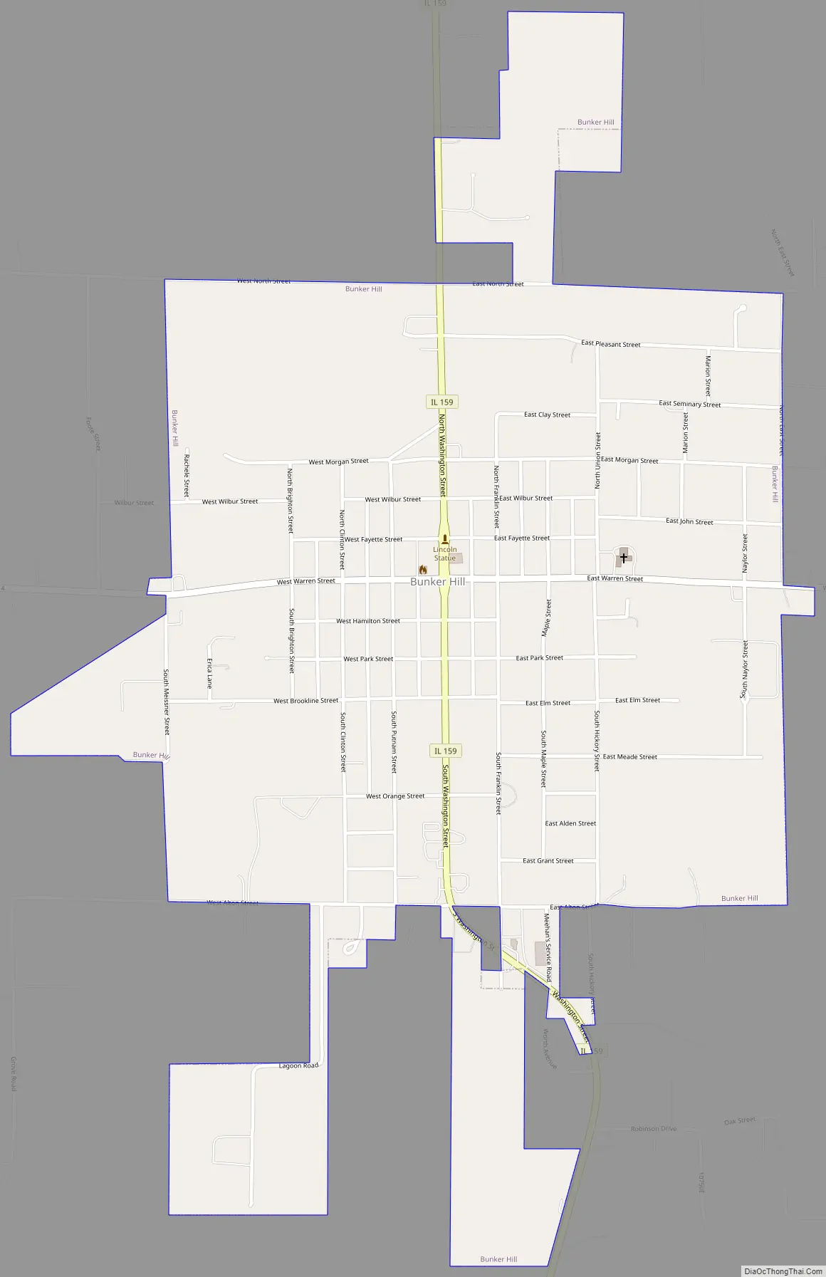
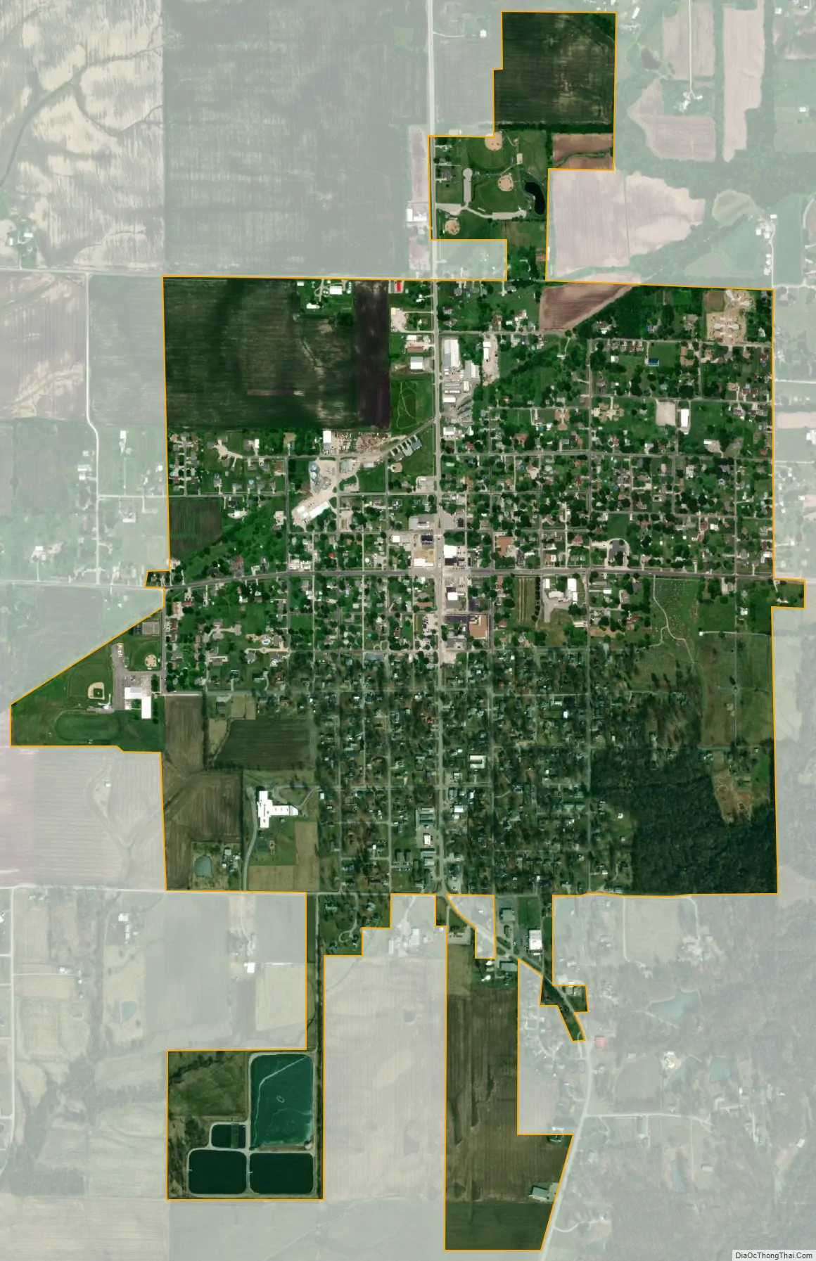
Bunker Hill city Satellite Map
Geography
Bunker Hill is located in southern Macoupin County in the eastern part of Bunker Hill Township. Carlinville, the Macoupin county seat, is 19 miles (31 km) to the north, Alton on the Mississippi River is 20 miles (32 km) to the southwest, and downtown St. Louis is 37 miles (60 km) to the south-southwest.
According to the U.S. Census Bureau, Bunker Hill has a total area of 1.31 square miles (3.39 km), of which 1.28 square miles (3.32 km) are land and 0.025 square miles (0.06 km), or 1.91%, are water. The city sits on a ridge that drains east to Paddock Creek and west to Indian Creek. Both creeks are south-flowing tributaries of Cahokia Creek, which runs to the Mississippi River northeast of St. Louis.
See also
Map of Illinois State and its subdivision:- Adams
- Alexander
- Bond
- Boone
- Brown
- Bureau
- Calhoun
- Carroll
- Cass
- Champaign
- Christian
- Clark
- Clay
- Clinton
- Coles
- Cook
- Crawford
- Cumberland
- De Kalb
- De Witt
- Douglas
- Dupage
- Edgar
- Edwards
- Effingham
- Fayette
- Ford
- Franklin
- Fulton
- Gallatin
- Greene
- Grundy
- Hamilton
- Hancock
- Hardin
- Henderson
- Henry
- Iroquois
- Jackson
- Jasper
- Jefferson
- Jersey
- Jo Daviess
- Johnson
- Kane
- Kankakee
- Kendall
- Knox
- La Salle
- Lake
- Lake Michigan
- Lawrence
- Lee
- Livingston
- Logan
- Macon
- Macoupin
- Madison
- Marion
- Marshall
- Mason
- Massac
- McDonough
- McHenry
- McLean
- Menard
- Mercer
- Monroe
- Montgomery
- Morgan
- Moultrie
- Ogle
- Peoria
- Perry
- Piatt
- Pike
- Pope
- Pulaski
- Putnam
- Randolph
- Richland
- Rock Island
- Saint Clair
- Saline
- Sangamon
- Schuyler
- Scott
- Shelby
- Stark
- Stephenson
- Tazewell
- Union
- Vermilion
- Wabash
- Warren
- Washington
- Wayne
- White
- Whiteside
- Will
- Williamson
- Winnebago
- Woodford
- Alabama
- Alaska
- Arizona
- Arkansas
- California
- Colorado
- Connecticut
- Delaware
- District of Columbia
- Florida
- Georgia
- Hawaii
- Idaho
- Illinois
- Indiana
- Iowa
- Kansas
- Kentucky
- Louisiana
- Maine
- Maryland
- Massachusetts
- Michigan
- Minnesota
- Mississippi
- Missouri
- Montana
- Nebraska
- Nevada
- New Hampshire
- New Jersey
- New Mexico
- New York
- North Carolina
- North Dakota
- Ohio
- Oklahoma
- Oregon
- Pennsylvania
- Rhode Island
- South Carolina
- South Dakota
- Tennessee
- Texas
- Utah
- Vermont
- Virginia
- Washington
- West Virginia
- Wisconsin
- Wyoming