Caseyville is a village in St. Clair County, Illinois, United States. The population was 4,245 at the 2010 census, a decline from 4,310 in 2000.
| Name: | Caseyville village |
|---|---|
| LSAD Code: | 47 |
| LSAD Description: | village (suffix) |
| State: | Illinois |
| County: | St. Clair County |
| Elevation: | 420 ft (130 m) |
| Total Area: | 7.43 sq mi (19.24 km²) |
| Land Area: | 7.27 sq mi (18.83 km²) |
| Water Area: | 0.16 sq mi (0.41 km²) |
| Total Population: | 4,400 |
| Population Density: | 605.06/sq mi (233.62/km²) |
| Area code: | 618 |
| FIPS code: | 1711644 |
| GNISfeature ID: | 2397568 |
| Website: | www.caseyville.org |
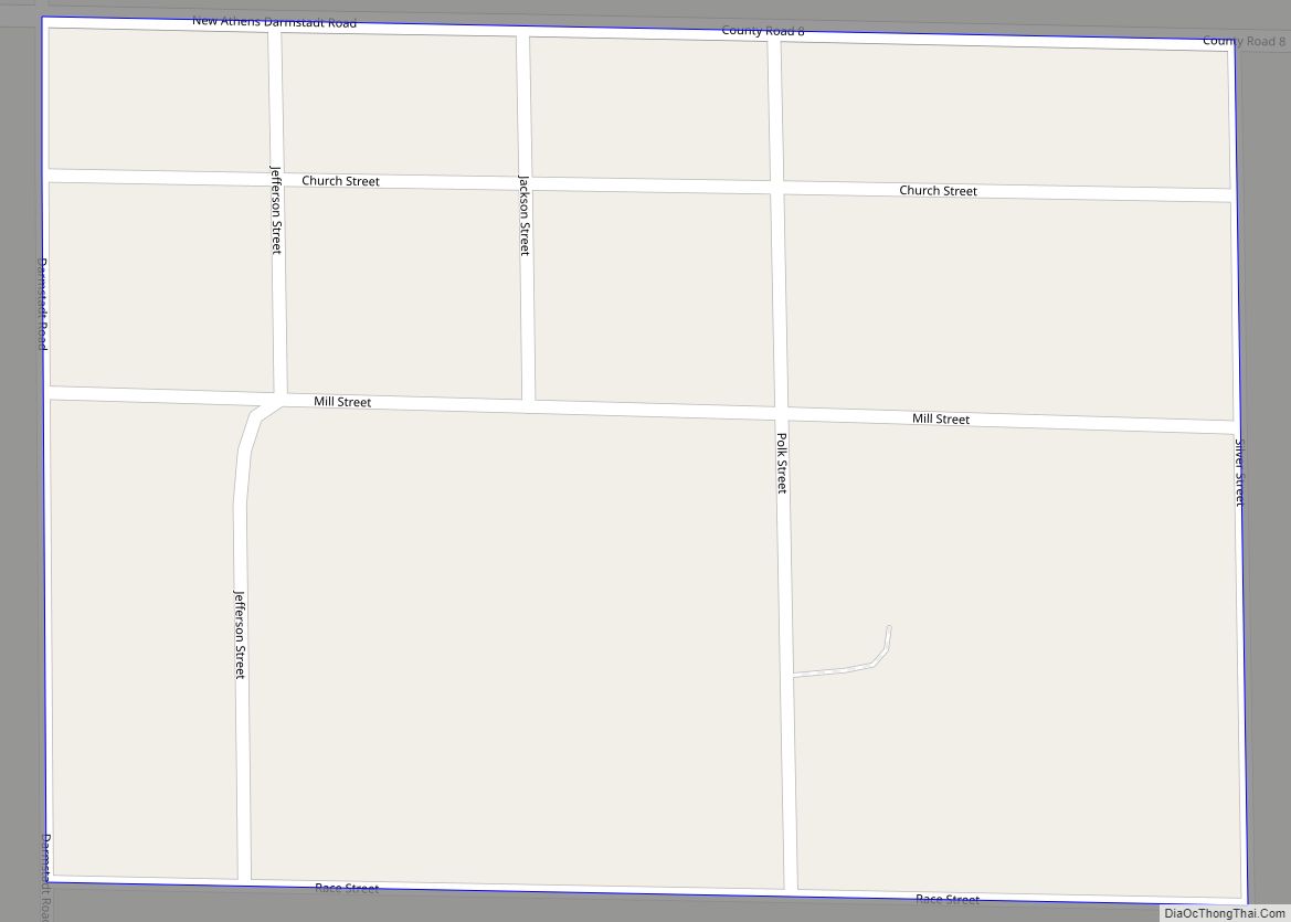
Online Interactive Map
Click on ![]() to view map in "full screen" mode.
to view map in "full screen" mode.
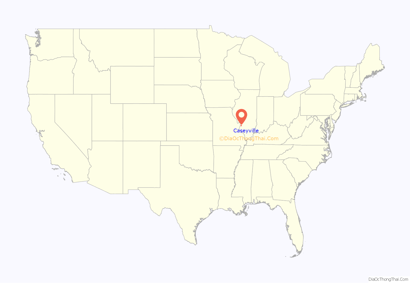
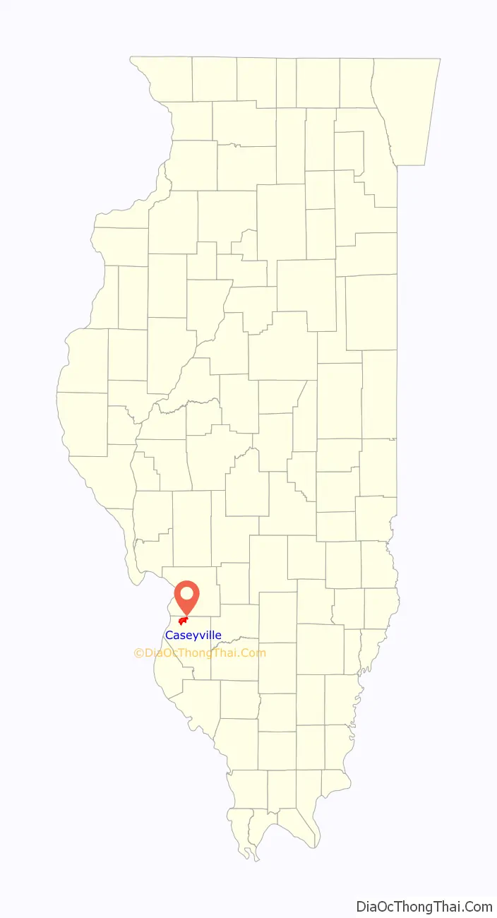
Caseyville location map. Where is Caseyville village?
History
A wealthy man named Charles Harbour built a house here, and in 1845 built a sawmill. There were deposits of coal in the area, and Harbour was one of several members of the Illinois Coal Company, along with Zadok Casey, Walter Seates, Malcomb Robinson, Charles Barrett and John Roy. Casey had held several offices including United States Representative and Lieutenant Governor of Illinois. In 1849, the Illinois Coal Company founded the town and named it for Casey. Coal mining began, and in 1851 the company constructed a railroad to nearby Brooklyn to transport the coal. In 1850 there were about 40 people here, and by 1851 this had increased to about 150; by 1881 the population was approximately 800. The first post office was established here in 1856, and the village was incorporated in May 1869. A school was built in 1872, and a church in 1879.
Caseyville Road Map
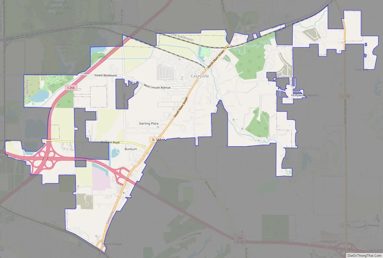
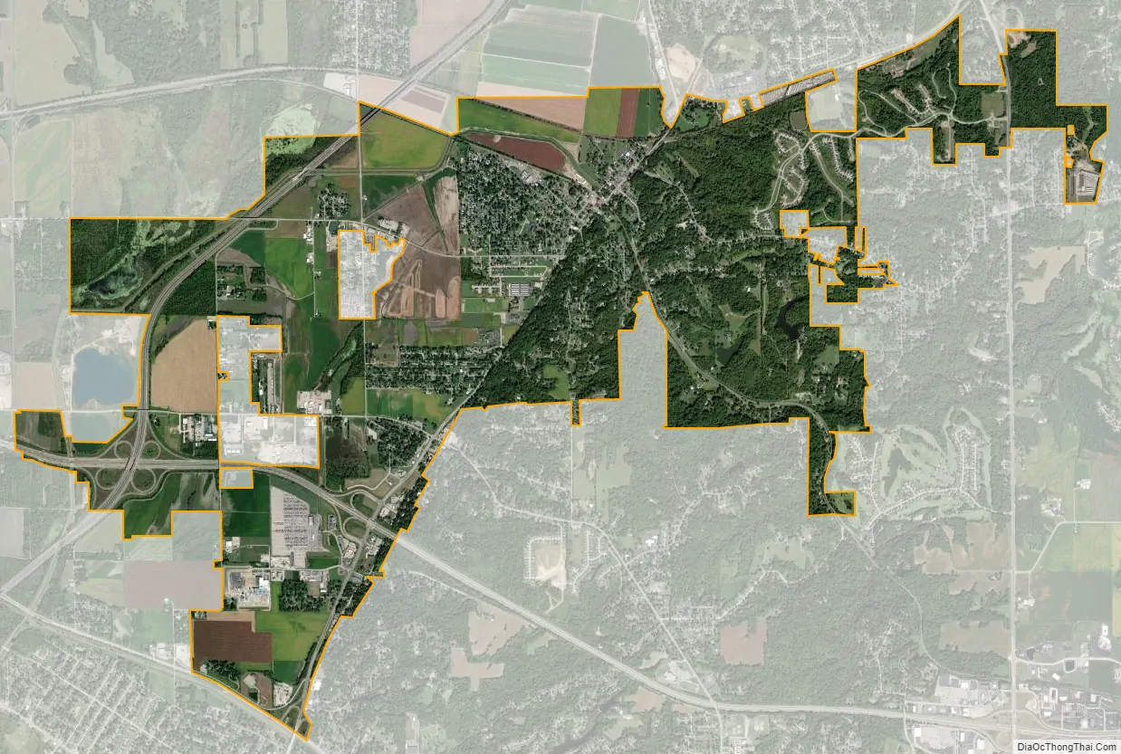
Caseyville city Satellite Map
Geography
Caseyville is located at 38°37′59″N 90°1′58″W / 38.63306°N 90.03278°W / 38.63306; -90.03278 (38.633176, -90.032785).
According to the 2010 census, Caseyville has a total area of 7.168 square miles (18.57 km), of which 7.01 square miles (18.16 km) (or 97.8%) is land and 0.158 square miles (0.41 km) (or 2.2%) is water.
See also
Map of Illinois State and its subdivision:- Adams
- Alexander
- Bond
- Boone
- Brown
- Bureau
- Calhoun
- Carroll
- Cass
- Champaign
- Christian
- Clark
- Clay
- Clinton
- Coles
- Cook
- Crawford
- Cumberland
- De Kalb
- De Witt
- Douglas
- Dupage
- Edgar
- Edwards
- Effingham
- Fayette
- Ford
- Franklin
- Fulton
- Gallatin
- Greene
- Grundy
- Hamilton
- Hancock
- Hardin
- Henderson
- Henry
- Iroquois
- Jackson
- Jasper
- Jefferson
- Jersey
- Jo Daviess
- Johnson
- Kane
- Kankakee
- Kendall
- Knox
- La Salle
- Lake
- Lake Michigan
- Lawrence
- Lee
- Livingston
- Logan
- Macon
- Macoupin
- Madison
- Marion
- Marshall
- Mason
- Massac
- McDonough
- McHenry
- McLean
- Menard
- Mercer
- Monroe
- Montgomery
- Morgan
- Moultrie
- Ogle
- Peoria
- Perry
- Piatt
- Pike
- Pope
- Pulaski
- Putnam
- Randolph
- Richland
- Rock Island
- Saint Clair
- Saline
- Sangamon
- Schuyler
- Scott
- Shelby
- Stark
- Stephenson
- Tazewell
- Union
- Vermilion
- Wabash
- Warren
- Washington
- Wayne
- White
- Whiteside
- Will
- Williamson
- Winnebago
- Woodford
- Alabama
- Alaska
- Arizona
- Arkansas
- California
- Colorado
- Connecticut
- Delaware
- District of Columbia
- Florida
- Georgia
- Hawaii
- Idaho
- Illinois
- Indiana
- Iowa
- Kansas
- Kentucky
- Louisiana
- Maine
- Maryland
- Massachusetts
- Michigan
- Minnesota
- Mississippi
- Missouri
- Montana
- Nebraska
- Nevada
- New Hampshire
- New Jersey
- New Mexico
- New York
- North Carolina
- North Dakota
- Ohio
- Oklahoma
- Oregon
- Pennsylvania
- Rhode Island
- South Carolina
- South Dakota
- Tennessee
- Texas
- Utah
- Vermont
- Virginia
- Washington
- West Virginia
- Wisconsin
- Wyoming