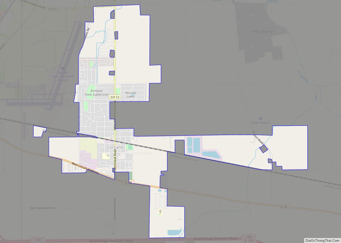
Cortland is an incorporated town in DeKalb County, Illinois, United States. The population was 4,398 at the 2020 Census. It was previously 4,270 at the 2010 census, up from 2,066 in 2000. Because of its status as an incorporated town, Cortland has adopted the slogan, “The Third Largest Town in Illinois”. Only the towns of Cicero and Normal are larger, in terms of population. Most municipalities in Illinois are defined as “cities” or “villages.”
| Name: | Cortland town |
|---|---|
| LSAD Code: | 43 |
| LSAD Description: | town (suffix) |
| State: | Illinois |
| County: | DeKalb County |
| Incorporated: | February 16, 1865 (1865-02-16) |
| Total Area: | 3.66 sq mi (9.47 km²) |
| Land Area: | 3.65 sq mi (9.45 km²) |
| Water Area: | 0.01 sq mi (0.02 km²) |
| Total Population: | 4,398 |
| Population Density: | 1,205.26/sq mi (465.37/km²) |
| Area code: | 815 |
| FIPS code: | 1716470 |
| Website: | www.cortlandil.org |
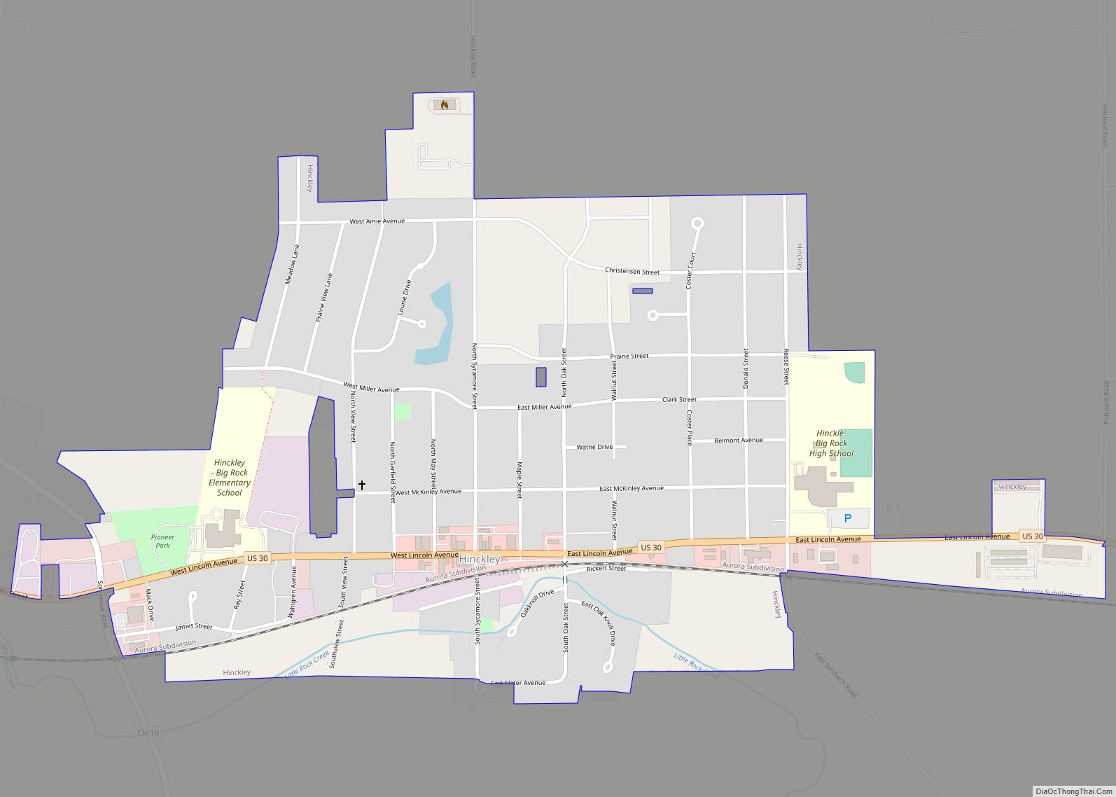
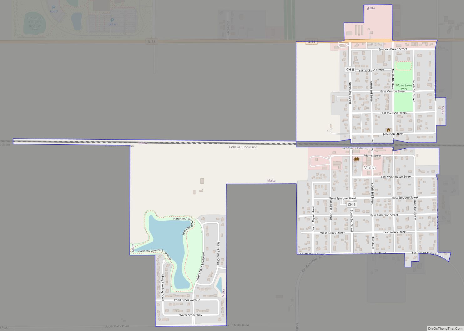
Online Interactive Map
Click on ![]() to view map in "full screen" mode.
to view map in "full screen" mode.
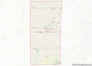
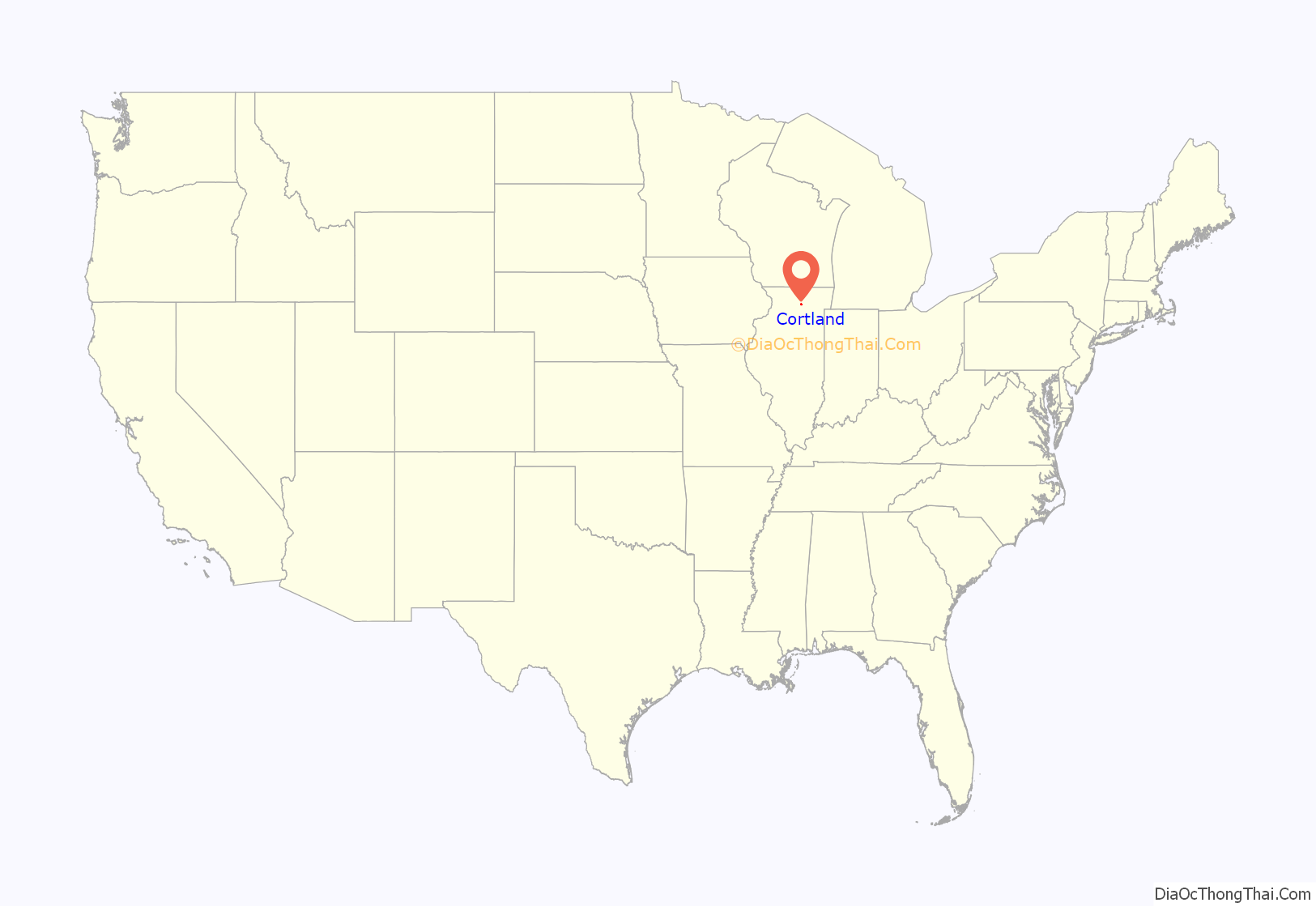
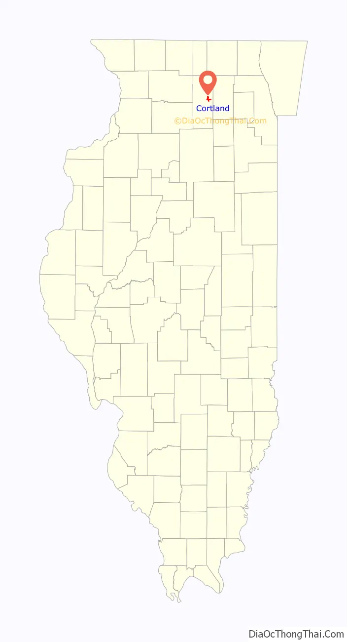
Cortland location map. Where is Cortland town?
History
A post office called Cortland has been in operation since 1892. The town was named after Cortland, New York.
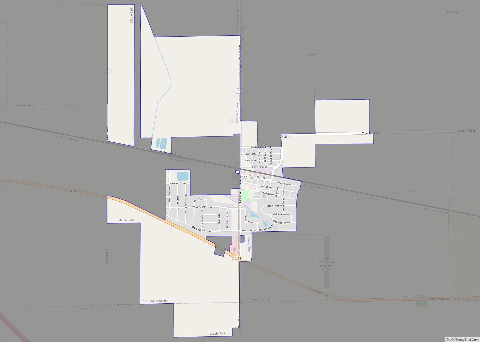
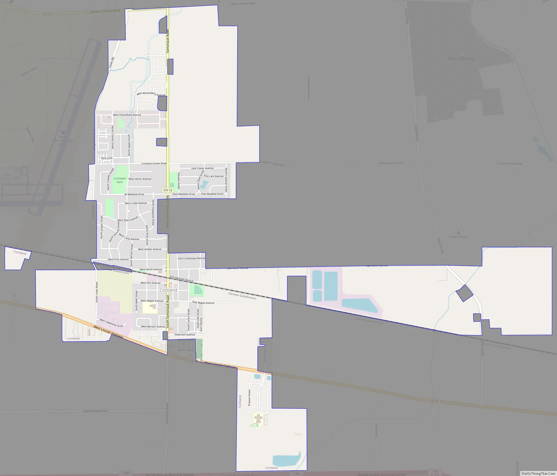
Cortland Road Map
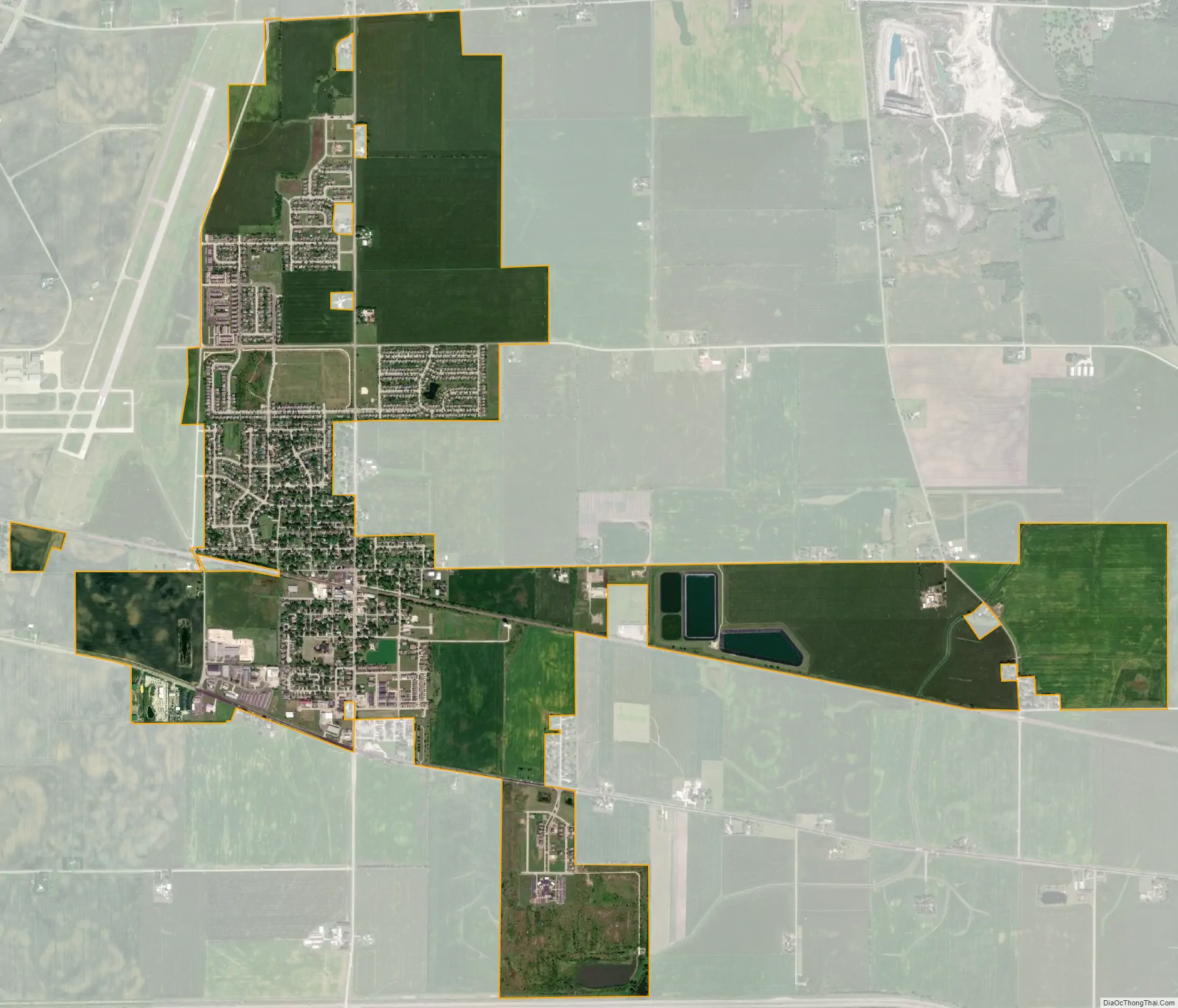
Cortland city Satellite Map
Geography
Cortland is located at 41°55′29″N 88°41′35″W / 41.92472°N 88.69306°W / 41.92472; -88.69306 (41.924857, -88.693093).
According to the 2010 census, Cortland has a total area of 3.638 square miles (9.42 km), of which 3.63 square miles (9.40 km) (or 99.78%) is land and 0.008 square miles (0.02 km) (or 0.22%) is water. The town is located immediately east of the city of DeKalb and just south of the city of Sycamore.
See also
Map of Illinois State and its subdivision:- Adams
- Alexander
- Bond
- Boone
- Brown
- Bureau
- Calhoun
- Carroll
- Cass
- Champaign
- Christian
- Clark
- Clay
- Clinton
- Coles
- Cook
- Crawford
- Cumberland
- De Kalb
- De Witt
- Douglas
- Dupage
- Edgar
- Edwards
- Effingham
- Fayette
- Ford
- Franklin
- Fulton
- Gallatin
- Greene
- Grundy
- Hamilton
- Hancock
- Hardin
- Henderson
- Henry
- Iroquois
- Jackson
- Jasper
- Jefferson
- Jersey
- Jo Daviess
- Johnson
- Kane
- Kankakee
- Kendall
- Knox
- La Salle
- Lake
- Lake Michigan
- Lawrence
- Lee
- Livingston
- Logan
- Macon
- Macoupin
- Madison
- Marion
- Marshall
- Mason
- Massac
- McDonough
- McHenry
- McLean
- Menard
- Mercer
- Monroe
- Montgomery
- Morgan
- Moultrie
- Ogle
- Peoria
- Perry
- Piatt
- Pike
- Pope
- Pulaski
- Putnam
- Randolph
- Richland
- Rock Island
- Saint Clair
- Saline
- Sangamon
- Schuyler
- Scott
- Shelby
- Stark
- Stephenson
- Tazewell
- Union
- Vermilion
- Wabash
- Warren
- Washington
- Wayne
- White
- Whiteside
- Will
- Williamson
- Winnebago
- Woodford
- Alabama
- Alaska
- Arizona
- Arkansas
- California
- Colorado
- Connecticut
- Delaware
- District of Columbia
- Florida
- Georgia
- Hawaii
- Idaho
- Illinois
- Indiana
- Iowa
- Kansas
- Kentucky
- Louisiana
- Maine
- Maryland
- Massachusetts
- Michigan
- Minnesota
- Mississippi
- Missouri
- Montana
- Nebraska
- Nevada
- New Hampshire
- New Jersey
- New Mexico
- New York
- North Carolina
- North Dakota
- Ohio
- Oklahoma
- Oregon
- Pennsylvania
- Rhode Island
- South Carolina
- South Dakota
- Tennessee
- Texas
- Utah
- Vermont
- Virginia
- Washington
- West Virginia
- Wisconsin
- Wyoming