Sycamore is a city in DeKalb County, Illinois, United States. It has a commercial district based and centered on Illinois Route 64. The population was 18,577 at the 2020 census, up from 17,519 at the 2010 census. Sycamore is the county seat of DeKalb County and was named after the sycamore tree.
| Name: | Sycamore city |
|---|---|
| LSAD Code: | 25 |
| LSAD Description: | city (suffix) |
| State: | Illinois |
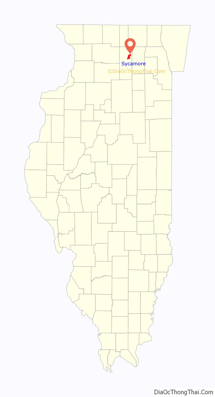
| County: | DeKalb County |
| Total Area: | 10.18 sq mi (26.36 km²) |
| Land Area: | 10.12 sq mi (26.21 km²) |
| Water Area: | 0.06 sq mi (0.15 km²) |
| Total Population: | 18,577 |
| Population Density: | 1,835.67/sq mi (708.73/km²) |
| Area code: | 815 |
| FIPS code: | 1774223 |
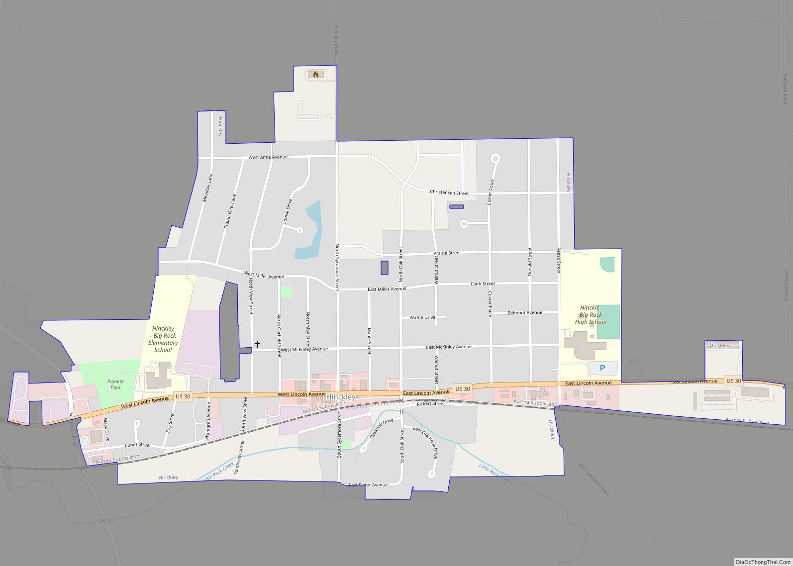
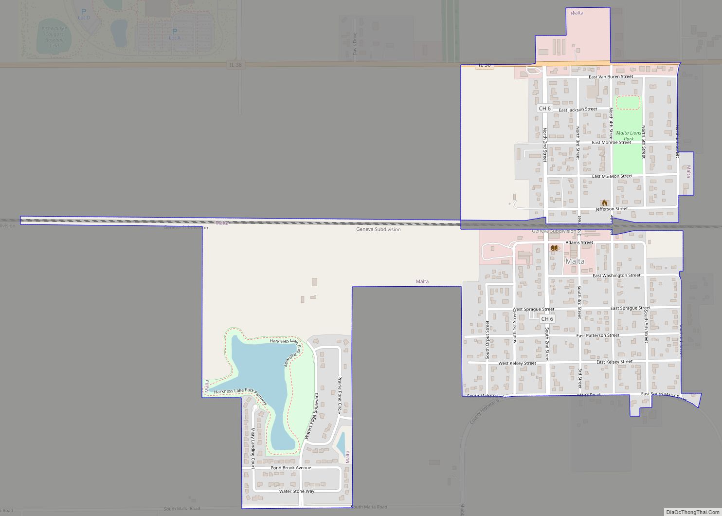
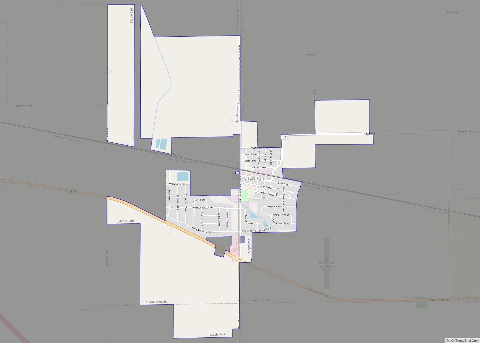
Online Interactive Map
Click on ![]() to view map in "full screen" mode.
to view map in "full screen" mode.
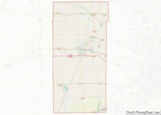
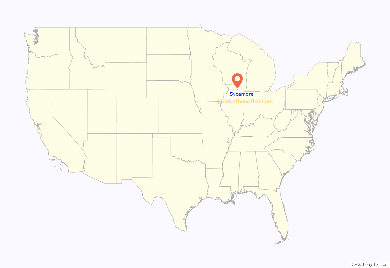
Sycamore location map. Where is Sycamore city?
History
Early settlement
The first European settlers to the Sycamore-area arrived in 1835 and concentrated themselves mostly north of the Kishwaukee River and the present site of Sycamore. The original town was platted by a New Yorker named Christian Sharer. A mill was constructed and the Kishwaukee dammed but the town failed. By 1837, after some controversy, the location of county seat was settled in favor of Orange, Sycamore’s original name, and the settlement moved to the present-day site of the city.
The present-day town site was platted by James Waterman and Evans Wharry in 1837 (the same year Chicago was founded). The first settler at the new site was Carlos Lattin, who preceded the town, having arrived in 1835. Lattin staked a claim that included most of the present west side of the city and erected his first cabin just north of downtown.
County seat location
Early in the city’s history, it seemed that Sycamore might not be the location of the DeKalb County Courthouse: other towns were vying for the county seat title. A now-defunct town called Brush Point was the choice of a Dr. Henry Madden; and the Clerk of the Court Rufus Colton would have preferred Coltonville, where he made his home. Colton had set the first session of county court to be held at his home in Coltonville. In his attempt to make Coltonville the county seat, Colton decided to hold a new election for the status in 1837. Colton made sure that Coltonville would win the election by telling only the population of Coltonville about it. His political tactics were eventually cancelled by an act of the Illinois General Assembly, after the DeKalb County court intervened. When court convened the sheriff served a court order declaring Sycamore had built a Courthouse and that the Court session should be held there. Afterward, Coltonville eventually suffered the same fate as Brush Point and disappeared from the map. These events settled for a time the issue of where the courthouse and, in turn, the DeKalb County seat was going to be located.
In 1903, as the county prepared to construct a new courthouse, the debate over county seat was reignited. This time, it was the city of DeKalb that sought to wrest the title of county seat away from Sycamore. Two of DeKalb’s most prominent citizens, Jacob Haish and Isaac L. Ellwood, each promised to donate $20,000 to help absorb some of the new building’s cost. The city of Sycamore responded, raising funds of their own, and after some back and forth and legal wrangling, the issue was settled in Sycamore’s favor.
Later settlement
Following the end of the second county seat controversy, in 1839, the first DeKalb County Courthouse was built in the city, as well as Sycamore’s first hotel. A year later the settlement consisted of 12 houses, which increased to 18 by 1844. Sycamore then began an era of steady growth marked by population increases in 1848 to 262, 1849 to 320, 1850 to 390, 1851 to 435. The Sycamore and Cortland Railroad arrived in the late 1850s and a station was erected in Sycamore. Sycamore was home to 41 commercial and industrial business by 1855. In 1858, Sycamore was incorporated as a village. Following the American Civil War the railroad began to assist Sycamore’s growth and the settlement was incorporated as a city in 1869.
Maria Ridulph murder
Sycamore is the location of a notable cold case, the 1957 abduction and murder of 7-year-old Maria Ridulph. On the evening of December 3, 1957, Maria disappeared while playing outside her family’s Sycamore home. She was last seen by her playmate Kathy Chapman (née Sigman) with a young man who called himself “Johnny” and had approached the girls offering them piggyback rides. A search and investigation by local and state police and the FBI failed to locate either Maria or “Johnny”, and the following April, Maria’s body was found in a field approximately 100 miles from Sycamore. The case remained unsolved for over 50 years until in 2011, Jack Daniel McCullough, a former neighbor of the Ridulphs, was arrested and convicted of kidnapping and murdering Maria. The case received national news coverage as the oldest cold case in US history to result in a conviction. However, in April 2016, McCullough’s conviction was overturned and he was released from prison after a post-conviction review of the evidence indicated that he could not have committed the crime.
2010 earthquake
On the morning of February 10, 2010 at 3:59 a.m., Sycamore was near the epicenter of an earthquake. The shock had a moment magnitude of 3.8 and a maximum Mercalli intensity of IV (Light). It was felt 133 mi (214 km) away in Madison, Wisconsin. When the quake was first reported, it was thought Sycamore was the epicenter. However, revised data from the USGS determined the epicenter to be closer to Virgil. This was the first earthquake in Northern Illinois since an M4.2 (intensity V (Moderate)) event in 2004.
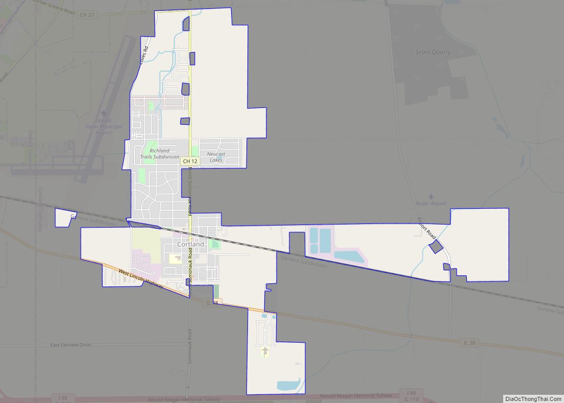
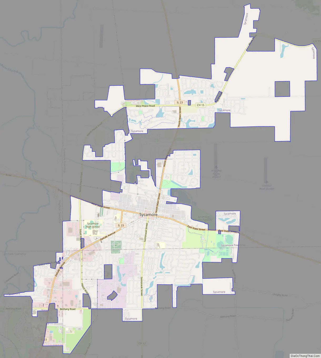
Sycamore Road Map
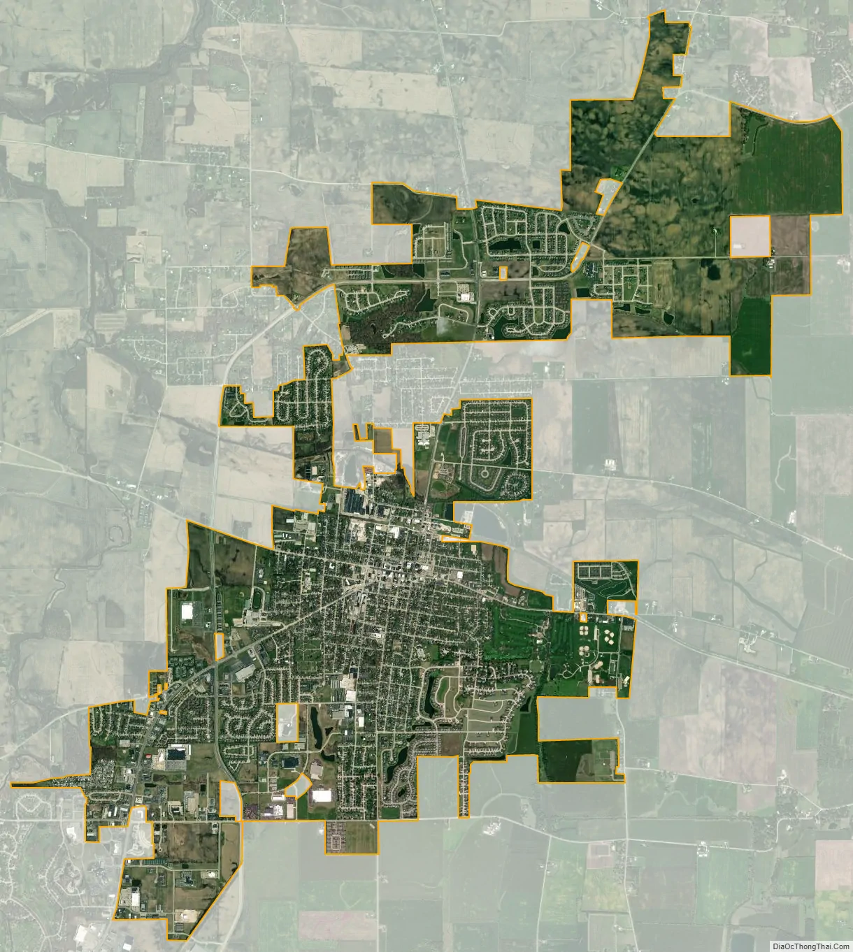
Sycamore city Satellite Map
Geography
Sycamore is located along Illinois Route 64 (State Street in Sycamore) about 35 miles (56 km) southeast of Rockford and 55 miles (89 km) west-northwest of Chicago. It is along the south bank of the East Branch of the South Branch Kishwaukee River in DeKalb County.
According to the 2021 census gazetteer files, Sycamore has a total area of 10.18 square miles (26.37 km), of which 10.12 square miles (26.21 km) (or 99.43%) is land and 0.06 square miles (0.16 km) (or 0.57%) is water. The terrain in Sycamore and the surrounding area is gently rolling and contains rich soil which was originally heavily forested.
Cityscape
The commercial district of Sycamore is based on Illinois Route 64, and stretches about a mile down starting from the intersection of route 64 with Illinois Route 23 and ending at Center Cross Road. The district is composed of two-story shops, a bank, small movie theater, and former Midwest Museum of Natural History. The town also has the county courthouse, built in 1904, of limestone.
See also
Map of Illinois State and its subdivision:- Adams
- Alexander
- Bond
- Boone
- Brown
- Bureau
- Calhoun
- Carroll
- Cass
- Champaign
- Christian
- Clark
- Clay
- Clinton
- Coles
- Cook
- Crawford
- Cumberland
- De Kalb
- De Witt
- Douglas
- Dupage
- Edgar
- Edwards
- Effingham
- Fayette
- Ford
- Franklin
- Fulton
- Gallatin
- Greene
- Grundy
- Hamilton
- Hancock
- Hardin
- Henderson
- Henry
- Iroquois
- Jackson
- Jasper
- Jefferson
- Jersey
- Jo Daviess
- Johnson
- Kane
- Kankakee
- Kendall
- Knox
- La Salle
- Lake
- Lake Michigan
- Lawrence
- Lee
- Livingston
- Logan
- Macon
- Macoupin
- Madison
- Marion
- Marshall
- Mason
- Massac
- McDonough
- McHenry
- McLean
- Menard
- Mercer
- Monroe
- Montgomery
- Morgan
- Moultrie
- Ogle
- Peoria
- Perry
- Piatt
- Pike
- Pope
- Pulaski
- Putnam
- Randolph
- Richland
- Rock Island
- Saint Clair
- Saline
- Sangamon
- Schuyler
- Scott
- Shelby
- Stark
- Stephenson
- Tazewell
- Union
- Vermilion
- Wabash
- Warren
- Washington
- Wayne
- White
- Whiteside
- Will
- Williamson
- Winnebago
- Woodford
- Alabama
- Alaska
- Arizona
- Arkansas
- California
- Colorado
- Connecticut
- Delaware
- District of Columbia
- Florida
- Georgia
- Hawaii
- Idaho
- Illinois
- Indiana
- Iowa
- Kansas
- Kentucky
- Louisiana
- Maine
- Maryland
- Massachusetts
- Michigan
- Minnesota
- Mississippi
- Missouri
- Montana
- Nebraska
- Nevada
- New Hampshire
- New Jersey
- New Mexico
- New York
- North Carolina
- North Dakota
- Ohio
- Oklahoma
- Oregon
- Pennsylvania
- Rhode Island
- South Carolina
- South Dakota
- Tennessee
- Texas
- Utah
- Vermont
- Virginia
- Washington
- West Virginia
- Wisconsin
- Wyoming