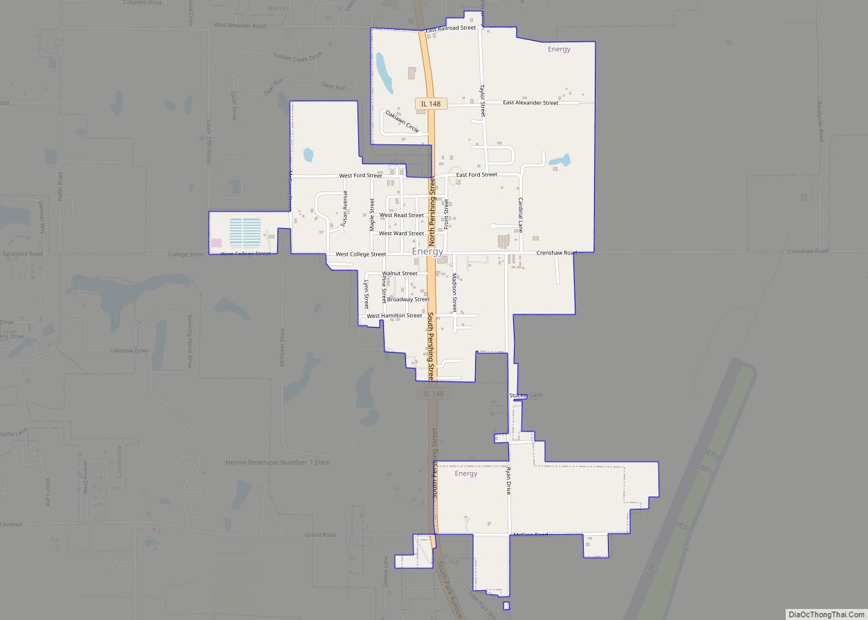
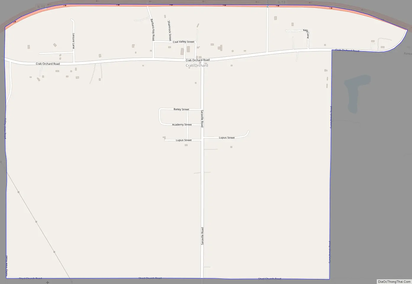
Crab Orchard is an unincorporated census-designated place east of Marion in Williamson County, Illinois, located along an old route of Illinois Route 13 now designated Crab Orchard Road. The upper branches of Crab Orchard Creek which eventually feed into Crab Orchard Lake flow nearby and gave the community its name. For a brief time during the Civil War, it was known as Erwinsville, which is the name in the original plat of the village. In its early days, it had the nickname “Steal-Easy.” The Crab Orchard post office was established 18 August 1853 and discontinued operations 15 May 1924. It’s now served by the Marion post office. As of the 2010 census, Crab Orchard has a population of 333. Crab Orchard has an area of 1.430 square miles (3.70 km); 1.395 square miles (3.61 km) of this is land, and 0.035 square miles (0.091 km) is water.
| Name: | Crab Orchard CDP |
|---|---|
| LSAD Code: | 57 |
| LSAD Description: | CDP (suffix) |
| State: | Illinois |
| County: | Williamson County |
| Elevation: | 515 ft (157 m) |
| Total Area: | 1.43 sq mi (3.70 km²) |
| Land Area: | 1.40 sq mi (3.61 km²) |
| Water Area: | 0.04 sq mi (0.09 km²) |
| Total Population: | 356 |
| Population Density: | 255.20/sq mi (98.50/km²) |
| ZIP code: | 62959 |
| Area code: | 618 |
| FIPS code: | 1717094 |
| GNISfeature ID: | 2628548 |
Online Interactive Map
Click on ![]() to view map in "full screen" mode.
to view map in "full screen" mode.
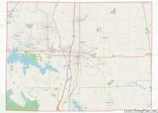
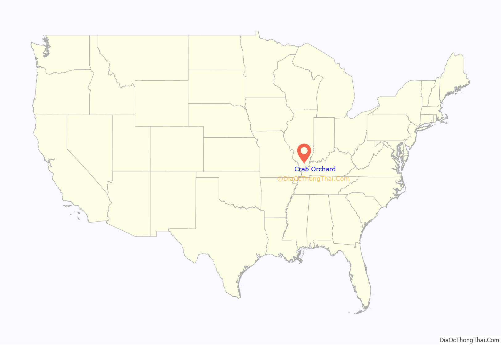
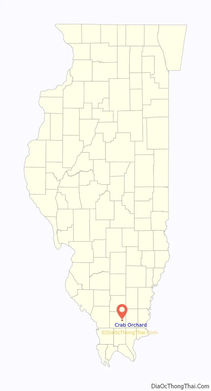
Crab Orchard location map. Where is Crab Orchard CDP?
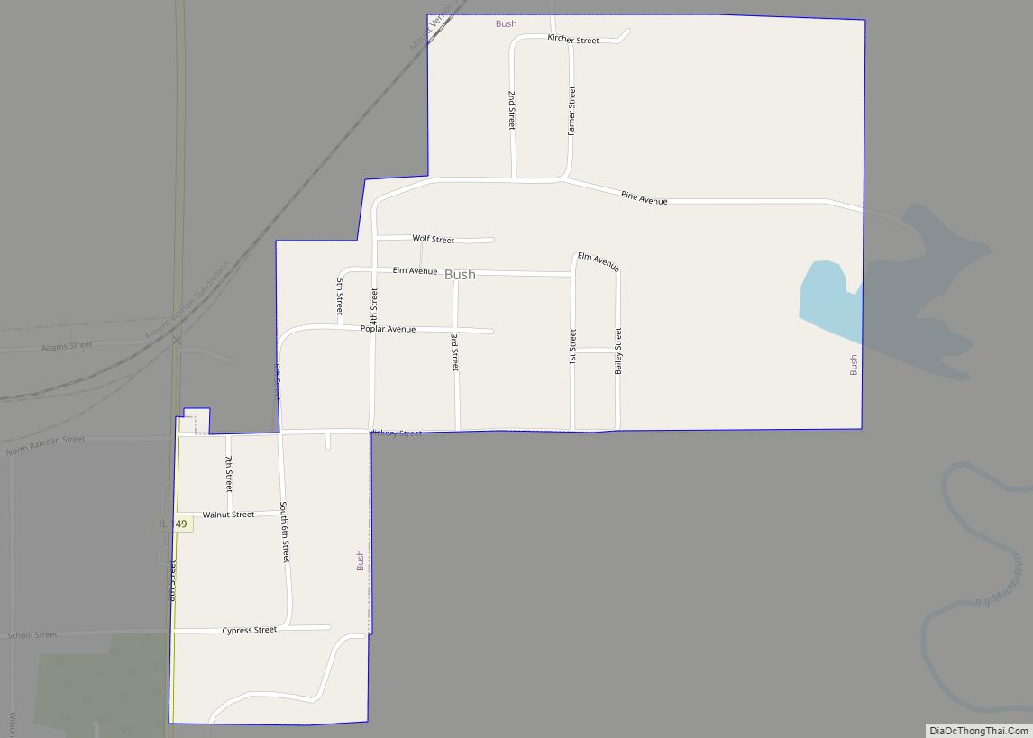
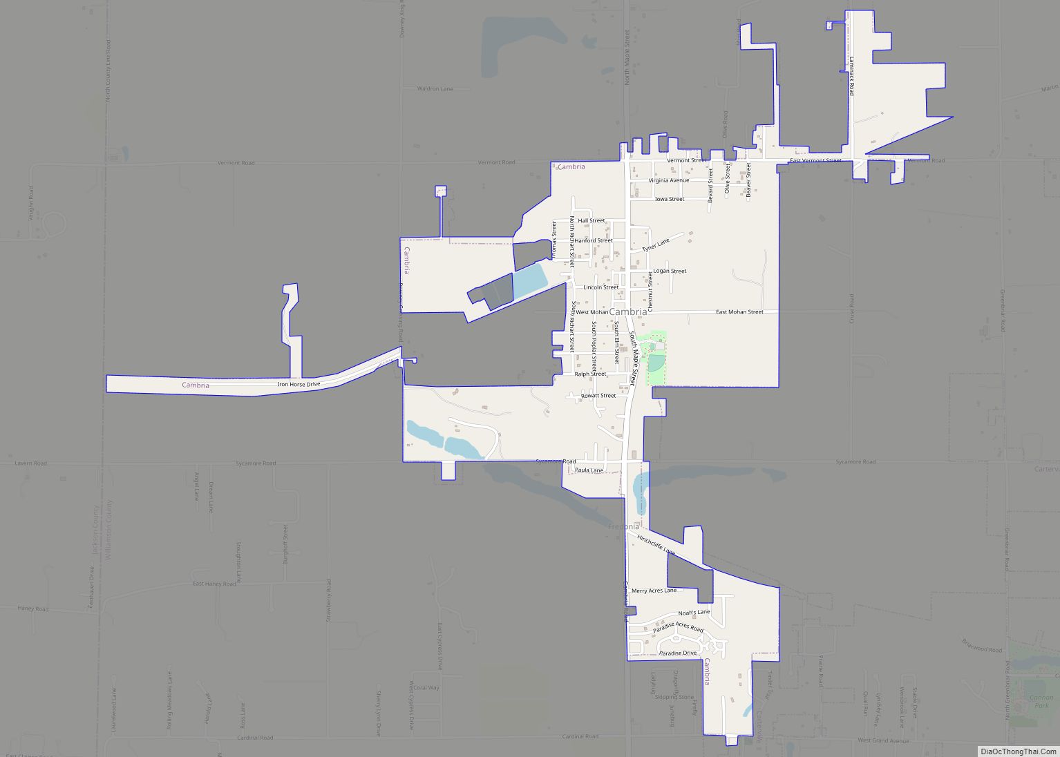
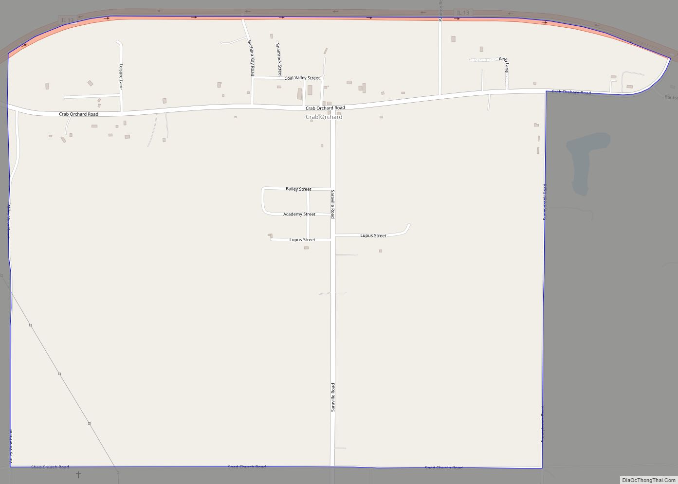
Crab Orchard Road Map
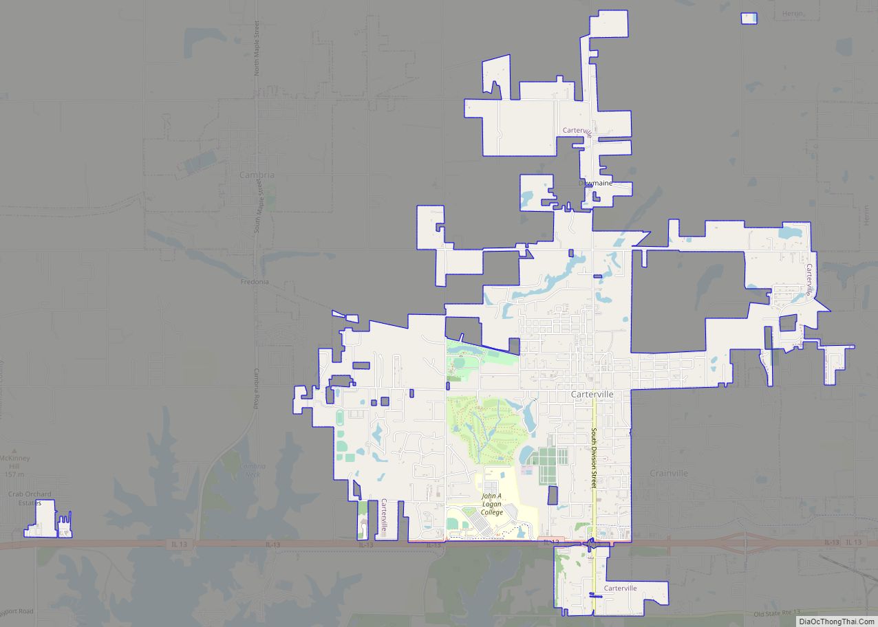
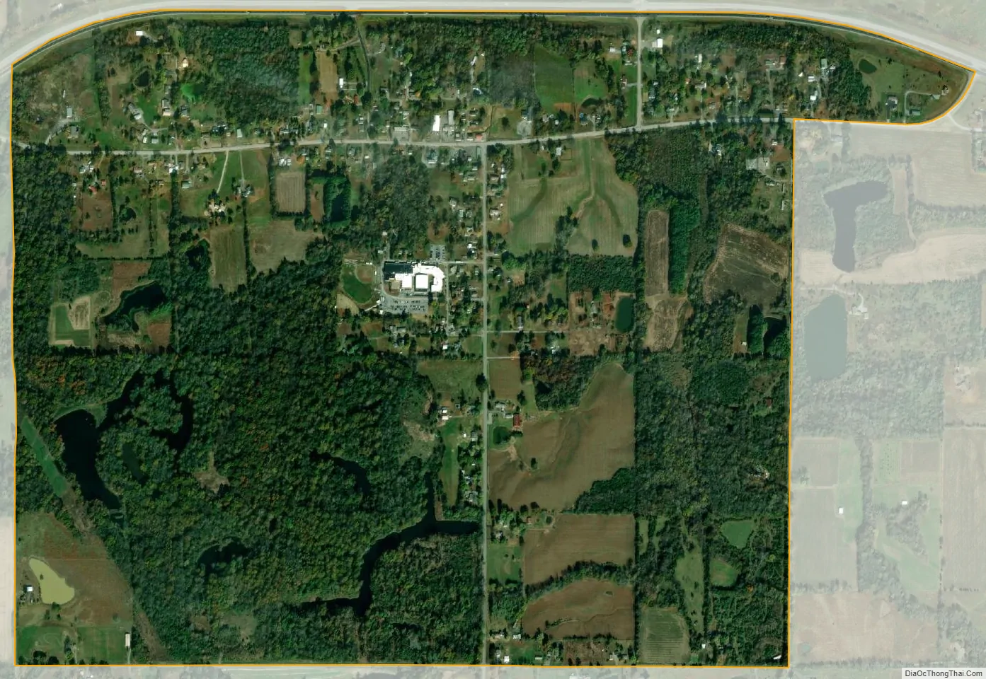
Crab Orchard city Satellite Map
See also
Map of Illinois State and its subdivision:- Adams
- Alexander
- Bond
- Boone
- Brown
- Bureau
- Calhoun
- Carroll
- Cass
- Champaign
- Christian
- Clark
- Clay
- Clinton
- Coles
- Cook
- Crawford
- Cumberland
- De Kalb
- De Witt
- Douglas
- Dupage
- Edgar
- Edwards
- Effingham
- Fayette
- Ford
- Franklin
- Fulton
- Gallatin
- Greene
- Grundy
- Hamilton
- Hancock
- Hardin
- Henderson
- Henry
- Iroquois
- Jackson
- Jasper
- Jefferson
- Jersey
- Jo Daviess
- Johnson
- Kane
- Kankakee
- Kendall
- Knox
- La Salle
- Lake
- Lake Michigan
- Lawrence
- Lee
- Livingston
- Logan
- Macon
- Macoupin
- Madison
- Marion
- Marshall
- Mason
- Massac
- McDonough
- McHenry
- McLean
- Menard
- Mercer
- Monroe
- Montgomery
- Morgan
- Moultrie
- Ogle
- Peoria
- Perry
- Piatt
- Pike
- Pope
- Pulaski
- Putnam
- Randolph
- Richland
- Rock Island
- Saint Clair
- Saline
- Sangamon
- Schuyler
- Scott
- Shelby
- Stark
- Stephenson
- Tazewell
- Union
- Vermilion
- Wabash
- Warren
- Washington
- Wayne
- White
- Whiteside
- Will
- Williamson
- Winnebago
- Woodford
- Alabama
- Alaska
- Arizona
- Arkansas
- California
- Colorado
- Connecticut
- Delaware
- District of Columbia
- Florida
- Georgia
- Hawaii
- Idaho
- Illinois
- Indiana
- Iowa
- Kansas
- Kentucky
- Louisiana
- Maine
- Maryland
- Massachusetts
- Michigan
- Minnesota
- Mississippi
- Missouri
- Montana
- Nebraska
- Nevada
- New Hampshire
- New Jersey
- New Mexico
- New York
- North Carolina
- North Dakota
- Ohio
- Oklahoma
- Oregon
- Pennsylvania
- Rhode Island
- South Carolina
- South Dakota
- Tennessee
- Texas
- Utah
- Vermont
- Virginia
- Washington
- West Virginia
- Wisconsin
- Wyoming