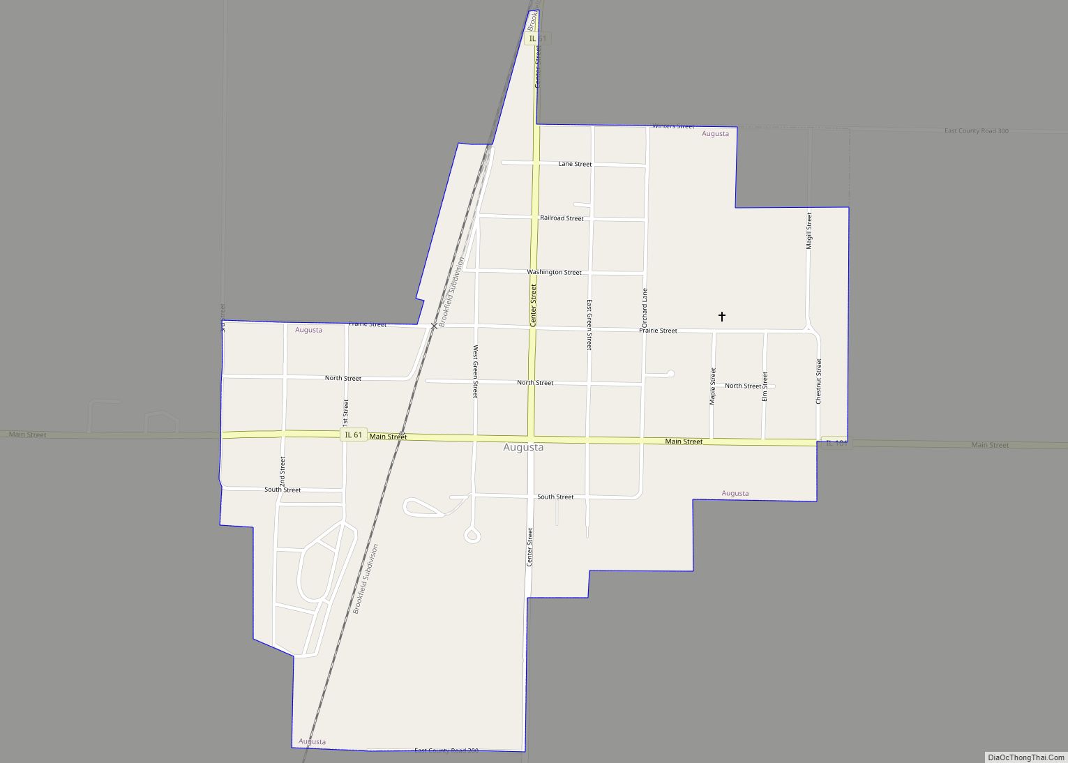
Dallas City is a city in Hancock and Henderson counties in the U.S. state of Illinois. The population in 2020 stands at an estimate of 805, a decline from the 2010 census of 945, which was a decline from 1,055 in 2000.
The Hancock County portion of Dallas City is part of the Fort Madison–Keokuk, IA–IL–MO Micropolitan Statistical Area, and the Henderson County portion of Dallas City is part of the Burlington, IA–IL Micropolitan Statistical Area.
| Name: | Dallas City city |
|---|---|
| LSAD Code: | 25 |
| LSAD Description: | city (suffix) |
| State: | Illinois |
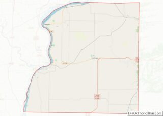
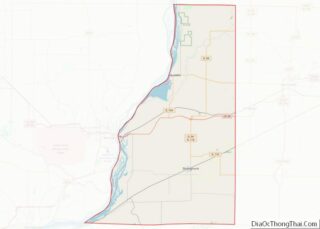
| County: | Hancock County, Henderson County |
| Elevation: | 584 ft (178 m) |
| Total Area: | 3.28 sq mi (8.48 km²) |
| Land Area: | 2.37 sq mi (6.15 km²) |
| Water Area: | 0.90 sq mi (2.33 km²) |
| Total Population: | 805 |
| Population Density: | 339.09/sq mi (130.90/km²) |
| Area code: | 217 |
| FIPS code: | 1718420 |
| GNISfeature ID: | 2393708 |
| Website: | www.dallascity-il.com |
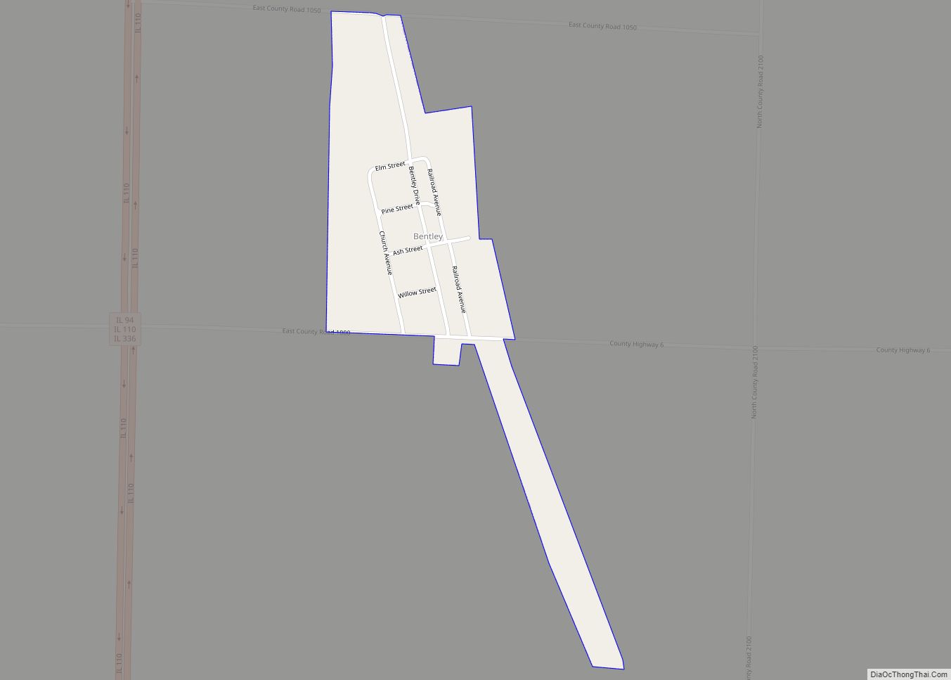
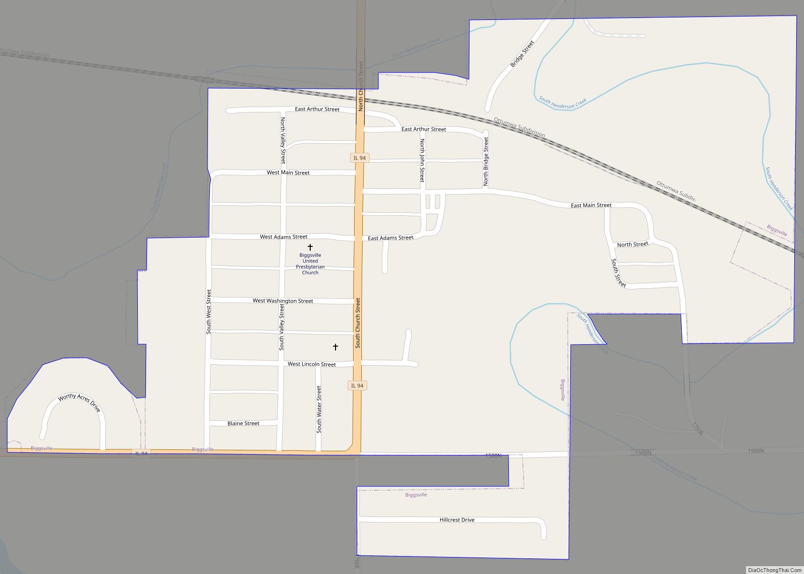
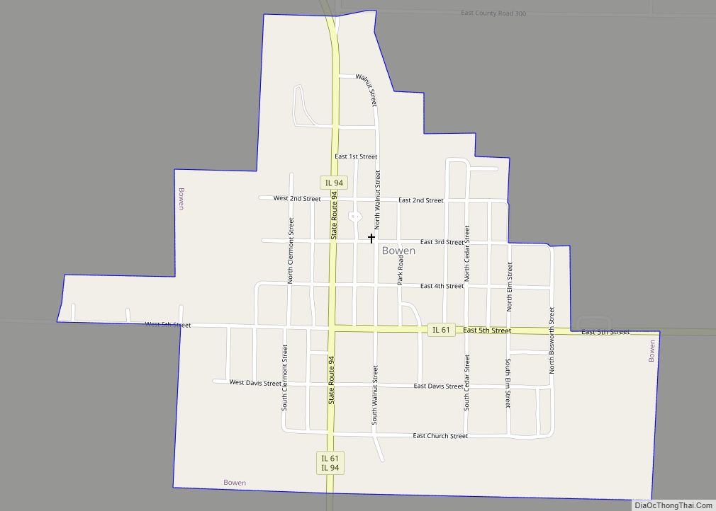
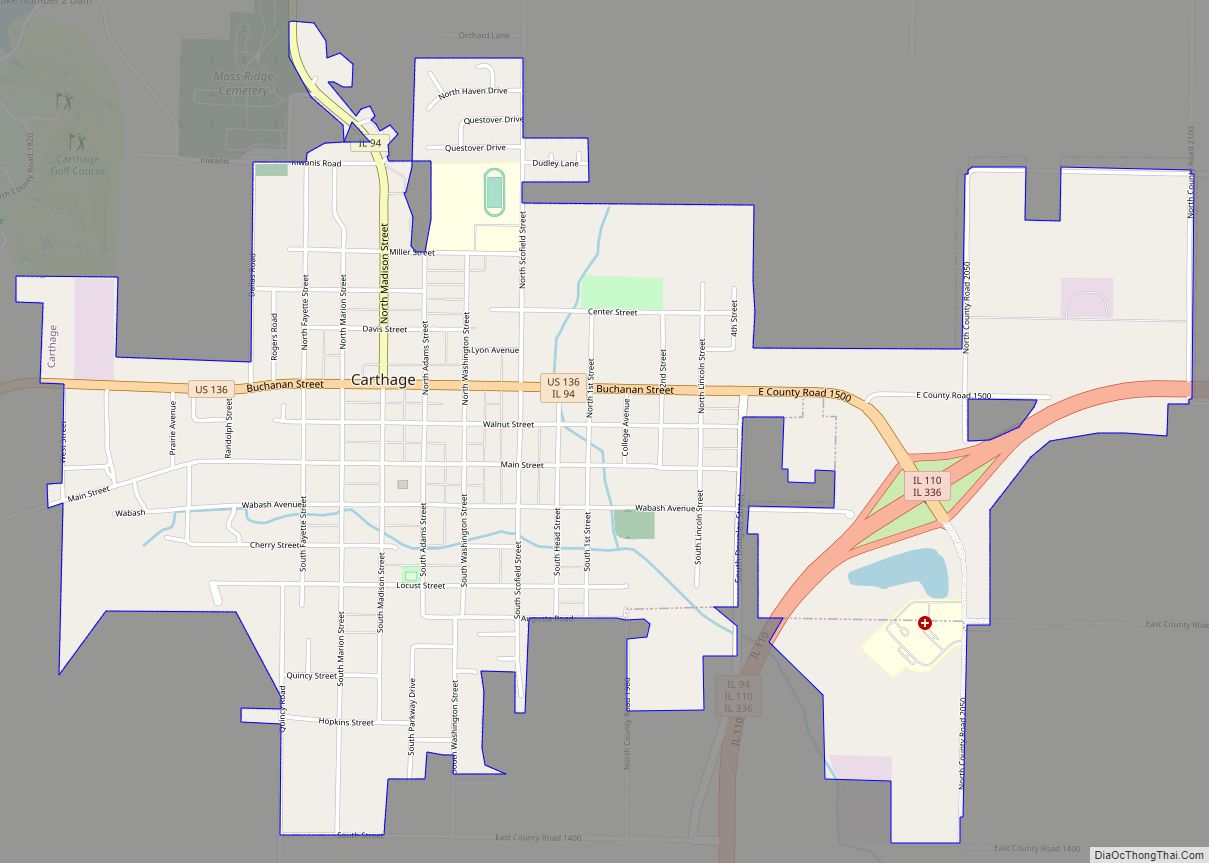
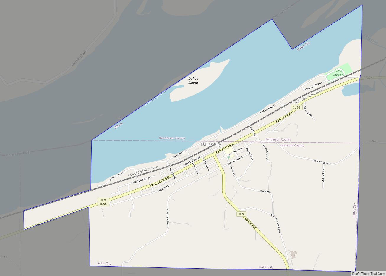
Online Interactive Map
Click on ![]() to view map in "full screen" mode.
to view map in "full screen" mode.
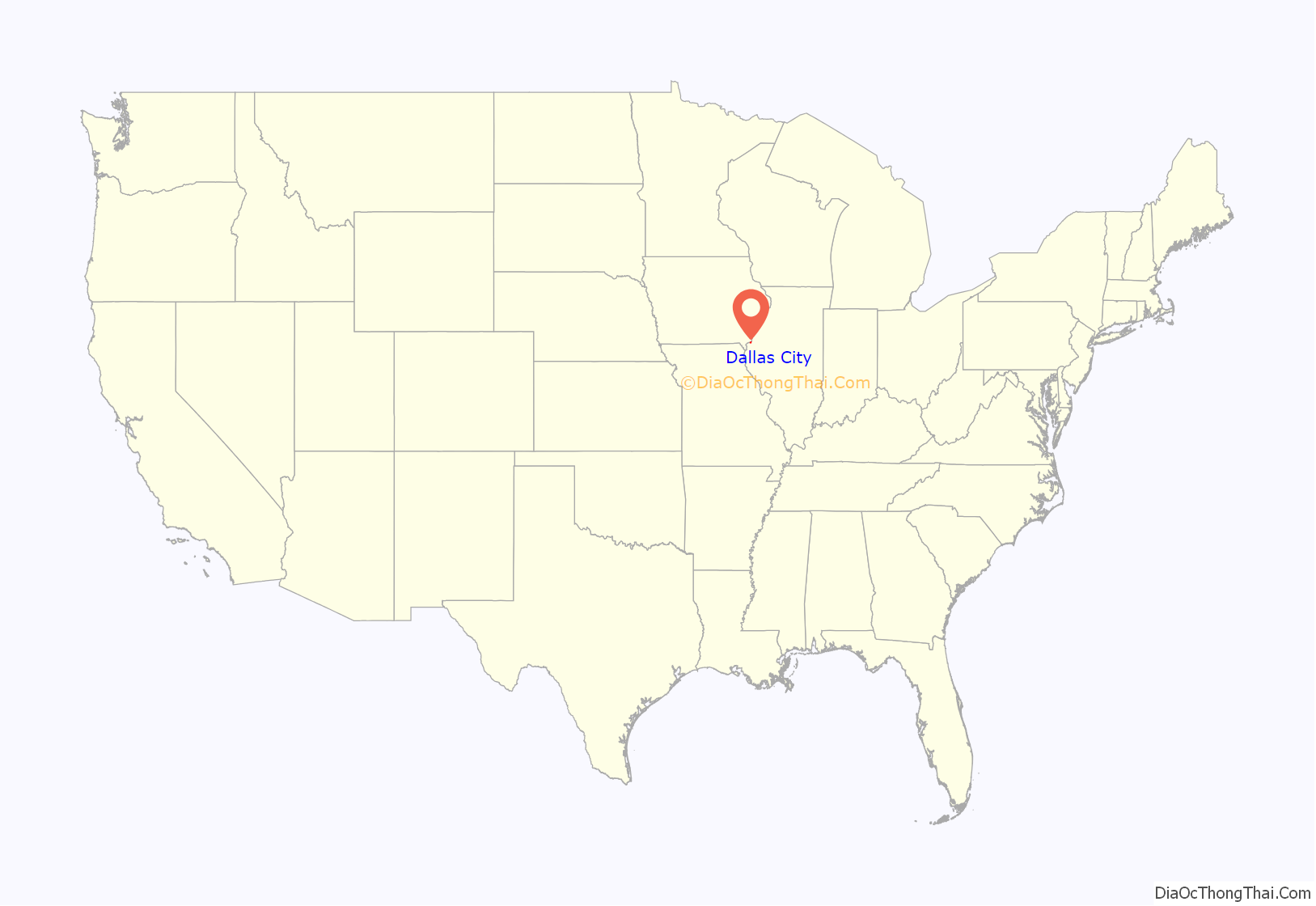
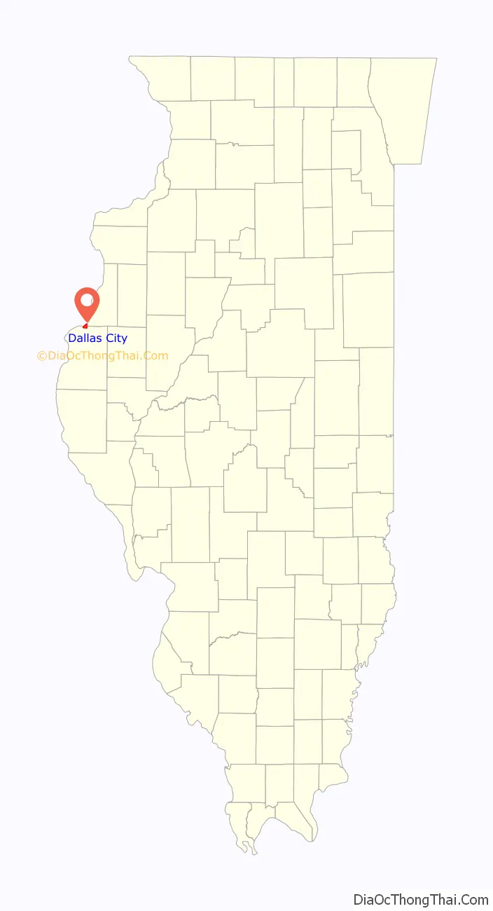
Dallas City location map. Where is Dallas City city?
History
Within historical records, a man with the name Israel Atherton purchased the land around present-day Dallas City in 1836. He built a log cabin but he didn’t seem to stay very long. He sold the land to John Finch, who built a village, which today is still recognized as, Dallas City. It was laid out in 1848, and named in honor of George Mifflin Dallas, 11th Vice President of the United States of America, from 1845 to 1849. A post office has been in operation at Dallas City since 1850.
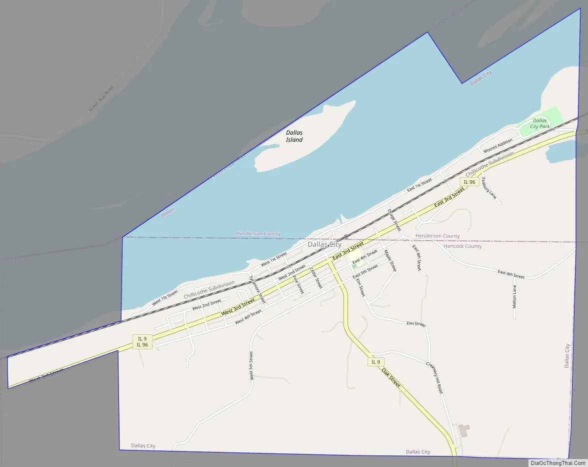
Dallas City Road Map
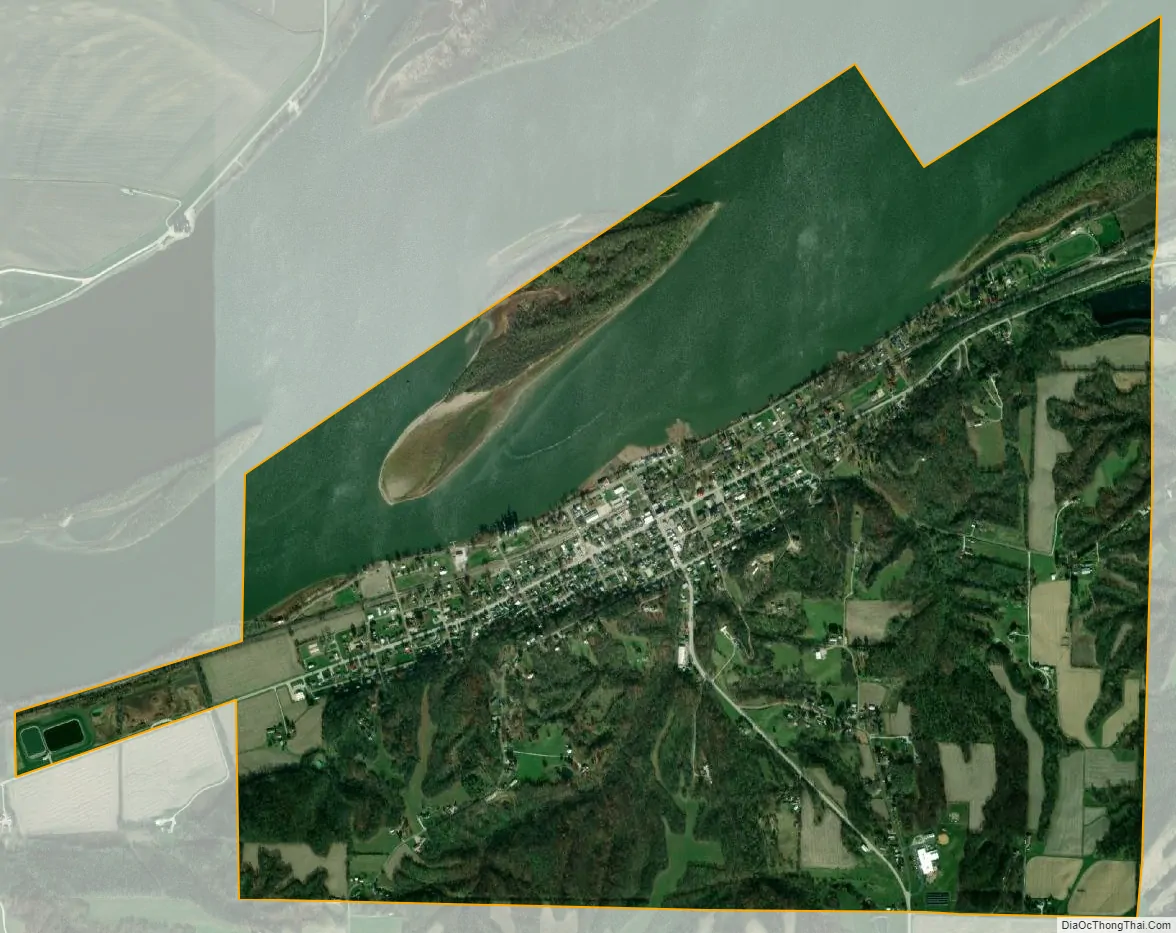
Dallas City city Satellite Map
Geography
Dallas City is located at 40°38′12″N 91°9′55″W / 40.63667°N 91.16528°W / 40.63667; -91.16528 (40.636565, -91.165256).
According to the 2010 census, Dallas City has a total area of 3.272 square miles (8.47 km), of which 2.37 square miles (6.14 km) (or 72.43%) is land and 0.902 square miles (2.34 km) (or 27.57%) is water.
See also
Map of Illinois State and its subdivision:- Adams
- Alexander
- Bond
- Boone
- Brown
- Bureau
- Calhoun
- Carroll
- Cass
- Champaign
- Christian
- Clark
- Clay
- Clinton
- Coles
- Cook
- Crawford
- Cumberland
- De Kalb
- De Witt
- Douglas
- Dupage
- Edgar
- Edwards
- Effingham
- Fayette
- Ford
- Franklin
- Fulton
- Gallatin
- Greene
- Grundy
- Hamilton
- Hancock
- Hardin
- Henderson
- Henry
- Iroquois
- Jackson
- Jasper
- Jefferson
- Jersey
- Jo Daviess
- Johnson
- Kane
- Kankakee
- Kendall
- Knox
- La Salle
- Lake
- Lake Michigan
- Lawrence
- Lee
- Livingston
- Logan
- Macon
- Macoupin
- Madison
- Marion
- Marshall
- Mason
- Massac
- McDonough
- McHenry
- McLean
- Menard
- Mercer
- Monroe
- Montgomery
- Morgan
- Moultrie
- Ogle
- Peoria
- Perry
- Piatt
- Pike
- Pope
- Pulaski
- Putnam
- Randolph
- Richland
- Rock Island
- Saint Clair
- Saline
- Sangamon
- Schuyler
- Scott
- Shelby
- Stark
- Stephenson
- Tazewell
- Union
- Vermilion
- Wabash
- Warren
- Washington
- Wayne
- White
- Whiteside
- Will
- Williamson
- Winnebago
- Woodford
- Alabama
- Alaska
- Arizona
- Arkansas
- California
- Colorado
- Connecticut
- Delaware
- District of Columbia
- Florida
- Georgia
- Hawaii
- Idaho
- Illinois
- Indiana
- Iowa
- Kansas
- Kentucky
- Louisiana
- Maine
- Maryland
- Massachusetts
- Michigan
- Minnesota
- Mississippi
- Missouri
- Montana
- Nebraska
- Nevada
- New Hampshire
- New Jersey
- New Mexico
- New York
- North Carolina
- North Dakota
- Ohio
- Oklahoma
- Oregon
- Pennsylvania
- Rhode Island
- South Carolina
- South Dakota
- Tennessee
- Texas
- Utah
- Vermont
- Virginia
- Washington
- West Virginia
- Wisconsin
- Wyoming