Deer Creek is a village in Tazewell and Woodford counties in the U.S. state of Illinois. The population was 667 at the 2020 census. Deer Creek is part of the Peoria, Illinois Metropolitan Statistical Area.
| Name: | Deer Creek village |
|---|---|
| LSAD Code: | 47 |
| LSAD Description: | village (suffix) |
| State: | Illinois |
| County: | Tazewell County, Woodford County |
| Elevation: | 758 ft (231 m) |
| Total Area: | 0.55 sq mi (1.41 km²) |
| Land Area: | 0.54 sq mi (1.39 km²) |
| Water Area: | 0.01 sq mi (0.03 km²) |
| Total Population: | 667 |
| Population Density: | 1,246.73/sq mi (481.56/km²) |
| Area code: | 309 |
| FIPS code: | 1718940 |
| GNISfeature ID: | 2398702 |
| Website: | deercreekillinois.org |
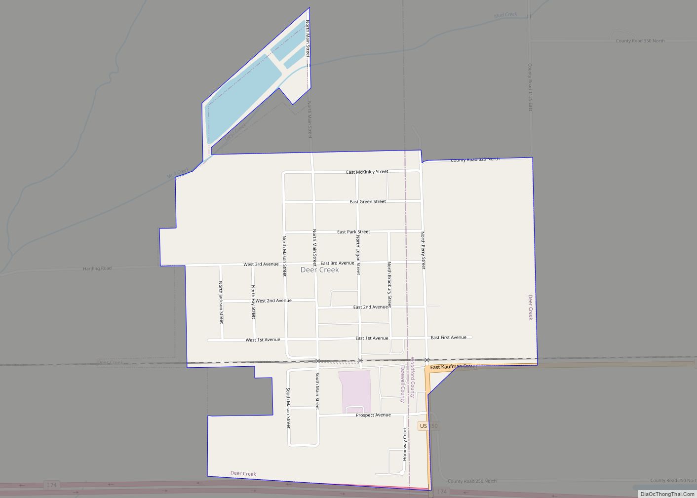
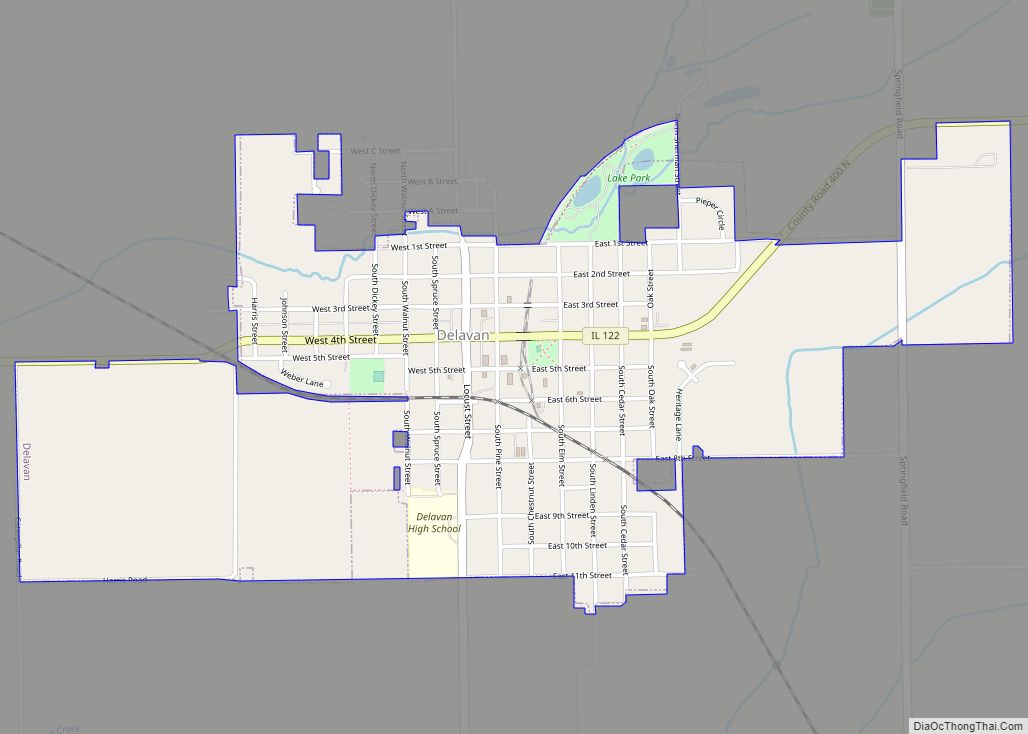
Online Interactive Map
Click on ![]() to view map in "full screen" mode.
to view map in "full screen" mode.
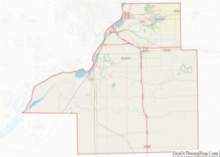
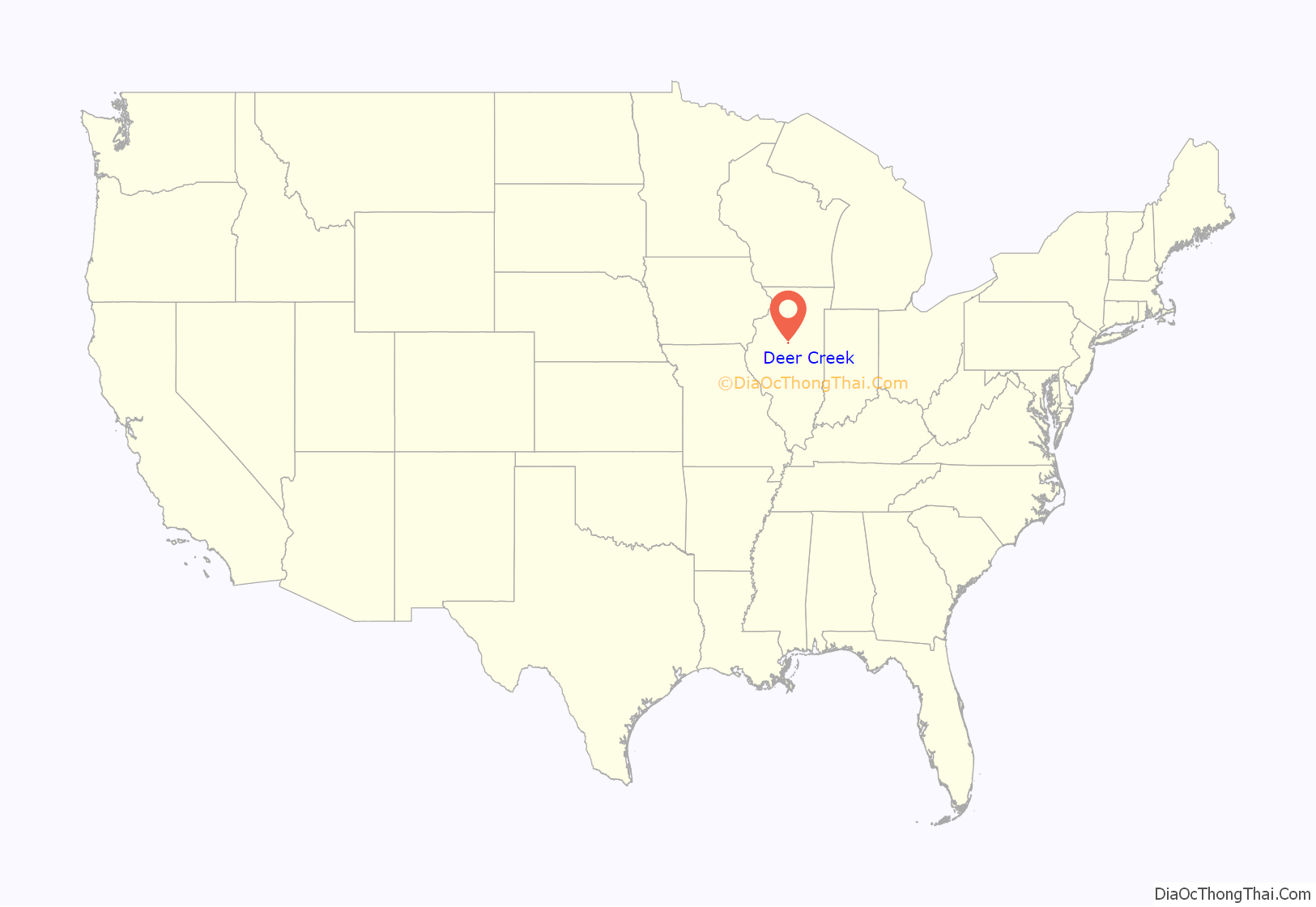
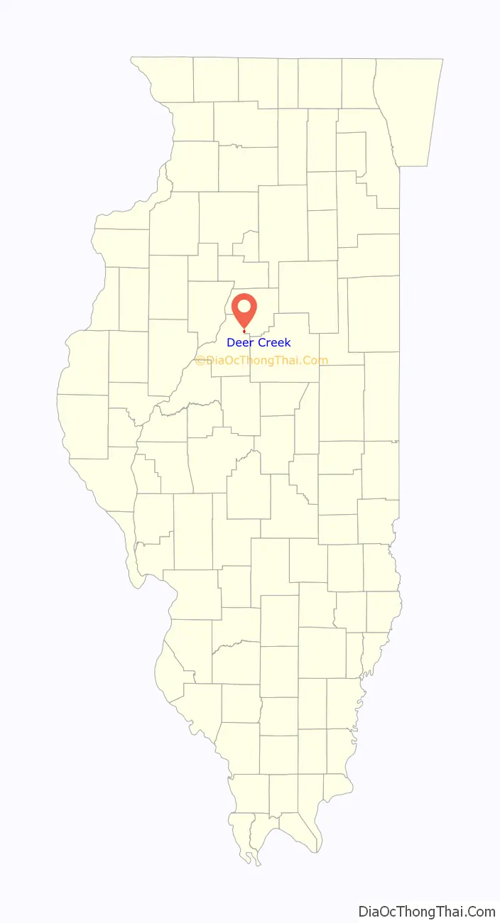
Deer Creek location map. Where is Deer Creek village?
History
Deer Creek was founded in 1830. Deer Creek received its name from the creek that ran through the northwest part of the village and the red deer that roamed the woods and came to the creek for water. In the late 1830s, Abraham Chaffer started the first business in Deer Creek at Chaffer’s Corner, which was located in the center of Deer Creek Township. The location of Deer Creek has moved three times since 1830, from Chaffer’s Corner to New Castle, from New Castle to Belmont, and from Belmont to the present site of Village of Deer Creek.
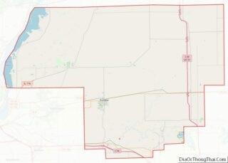
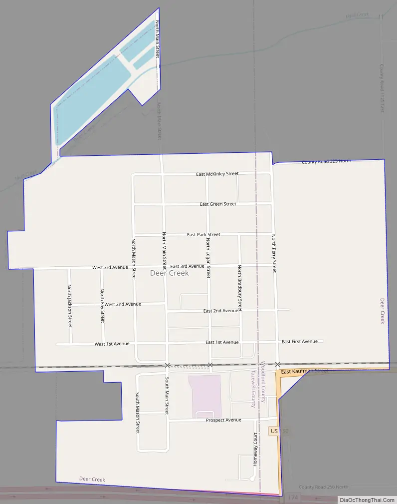
Deer Creek Road Map
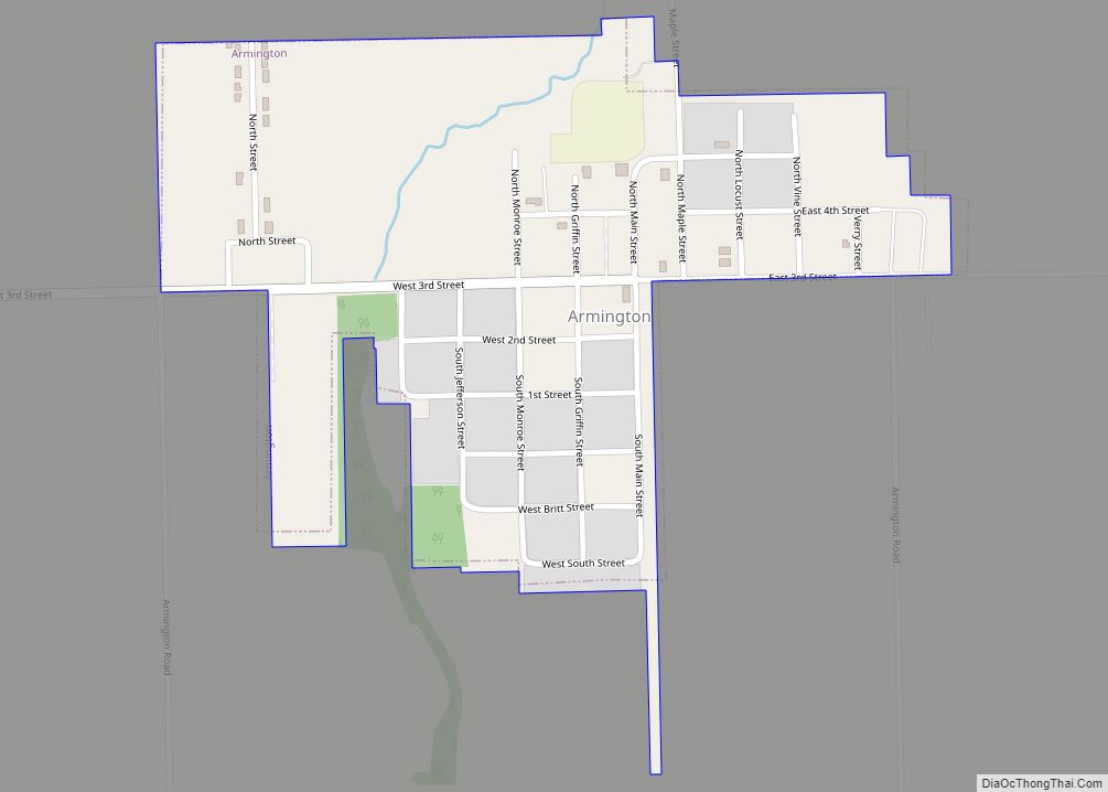
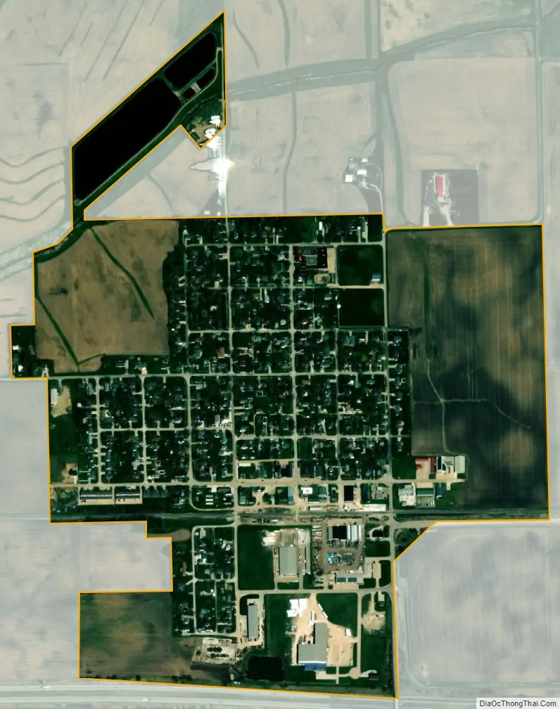
Deer Creek city Satellite Map
Geography
According to the 2010 census, Deer Creek has a total area of 0.569 square miles (1.47 km), of which 0.56 square miles (1.45 km) (or 98.42%) is land and 0.009 square miles (0.02 km) (or 1.58%) is water.
See also
Map of Illinois State and its subdivision:- Adams
- Alexander
- Bond
- Boone
- Brown
- Bureau
- Calhoun
- Carroll
- Cass
- Champaign
- Christian
- Clark
- Clay
- Clinton
- Coles
- Cook
- Crawford
- Cumberland
- De Kalb
- De Witt
- Douglas
- Dupage
- Edgar
- Edwards
- Effingham
- Fayette
- Ford
- Franklin
- Fulton
- Gallatin
- Greene
- Grundy
- Hamilton
- Hancock
- Hardin
- Henderson
- Henry
- Iroquois
- Jackson
- Jasper
- Jefferson
- Jersey
- Jo Daviess
- Johnson
- Kane
- Kankakee
- Kendall
- Knox
- La Salle
- Lake
- Lake Michigan
- Lawrence
- Lee
- Livingston
- Logan
- Macon
- Macoupin
- Madison
- Marion
- Marshall
- Mason
- Massac
- McDonough
- McHenry
- McLean
- Menard
- Mercer
- Monroe
- Montgomery
- Morgan
- Moultrie
- Ogle
- Peoria
- Perry
- Piatt
- Pike
- Pope
- Pulaski
- Putnam
- Randolph
- Richland
- Rock Island
- Saint Clair
- Saline
- Sangamon
- Schuyler
- Scott
- Shelby
- Stark
- Stephenson
- Tazewell
- Union
- Vermilion
- Wabash
- Warren
- Washington
- Wayne
- White
- Whiteside
- Will
- Williamson
- Winnebago
- Woodford
- Alabama
- Alaska
- Arizona
- Arkansas
- California
- Colorado
- Connecticut
- Delaware
- District of Columbia
- Florida
- Georgia
- Hawaii
- Idaho
- Illinois
- Indiana
- Iowa
- Kansas
- Kentucky
- Louisiana
- Maine
- Maryland
- Massachusetts
- Michigan
- Minnesota
- Mississippi
- Missouri
- Montana
- Nebraska
- Nevada
- New Hampshire
- New Jersey
- New Mexico
- New York
- North Carolina
- North Dakota
- Ohio
- Oklahoma
- Oregon
- Pennsylvania
- Rhode Island
- South Carolina
- South Dakota
- Tennessee
- Texas
- Utah
- Vermont
- Virginia
- Washington
- West Virginia
- Wisconsin
- Wyoming