Congerville is a village in Woodford County, Illinois, United States. The population was 474 as of the 2010 census, up from 466 in 2000. Congerville is part of the Peoria, Illinois Metropolitan Statistical Area.
| Name: | Congerville village |
|---|---|
| LSAD Code: | 47 |
| LSAD Description: | village (suffix) |
| State: | Illinois |
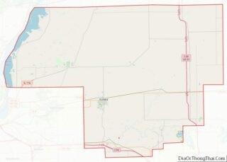
| County: | Woodford County |
| Elevation: | 745 ft (227 m) |
| Total Area: | 0.97 sq mi (2.50 km²) |
| Land Area: | 0.96 sq mi (2.49 km²) |
| Water Area: | 0.00 sq mi (0.01 km²) |
| Total Population: | 497 |
| Population Density: | 516.10/sq mi (199.35/km²) |
| Area code: | 309 |
| FIPS code: | 1716119 |
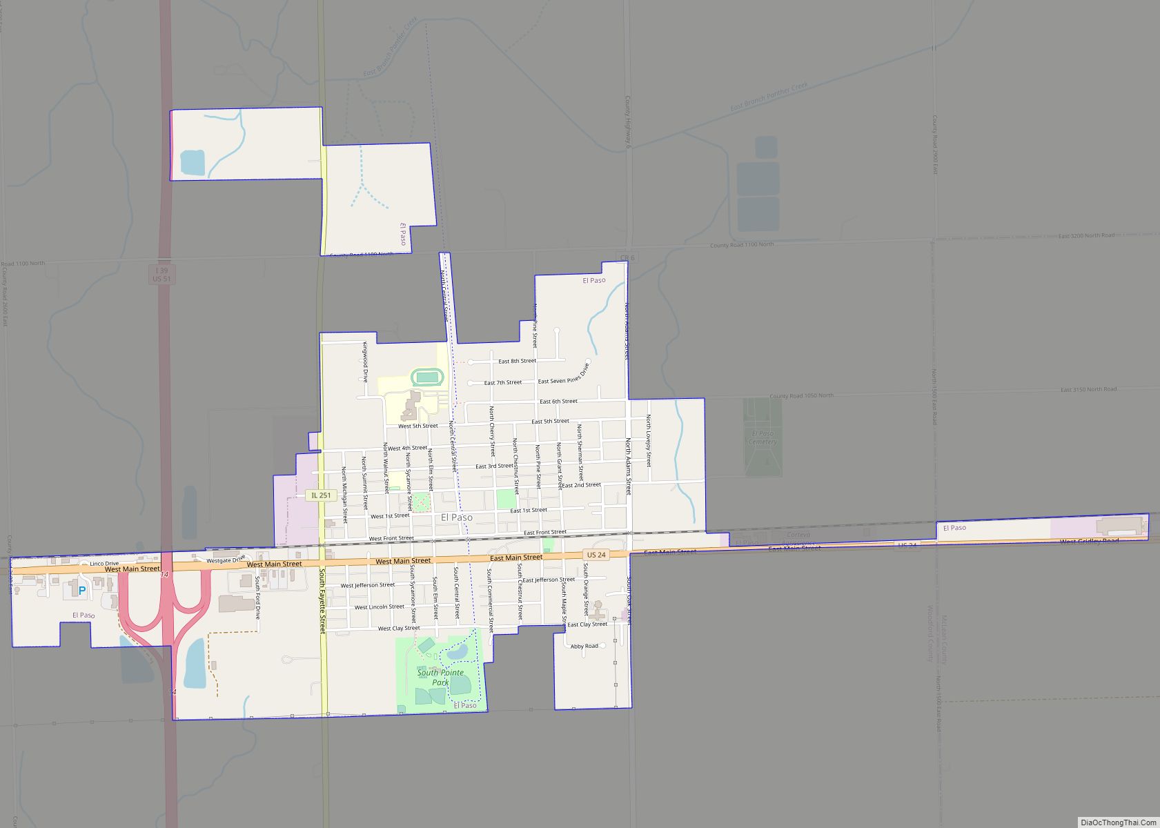
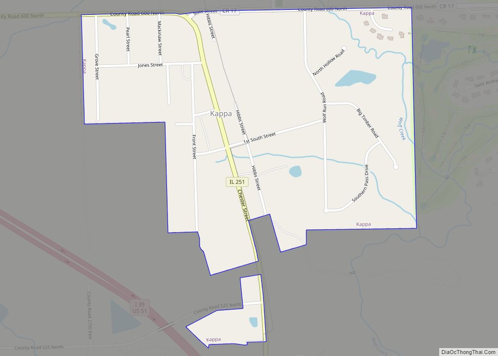
Online Interactive Map
Click on ![]() to view map in "full screen" mode.
to view map in "full screen" mode.
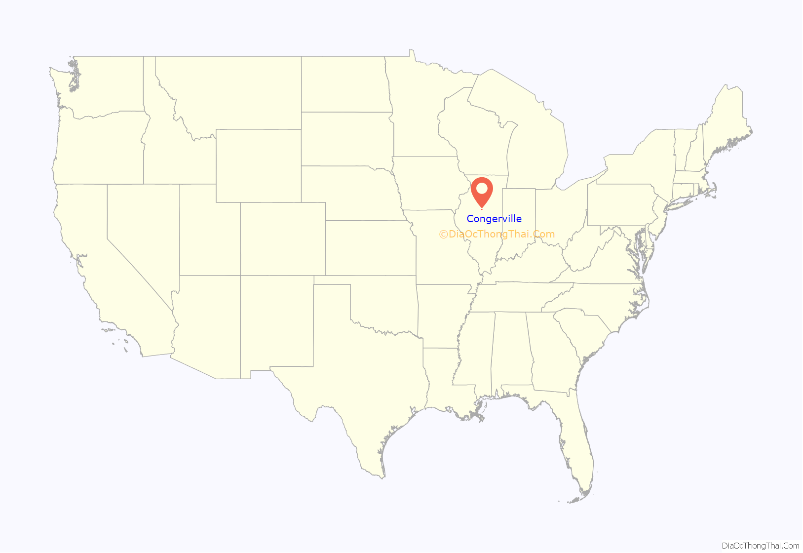
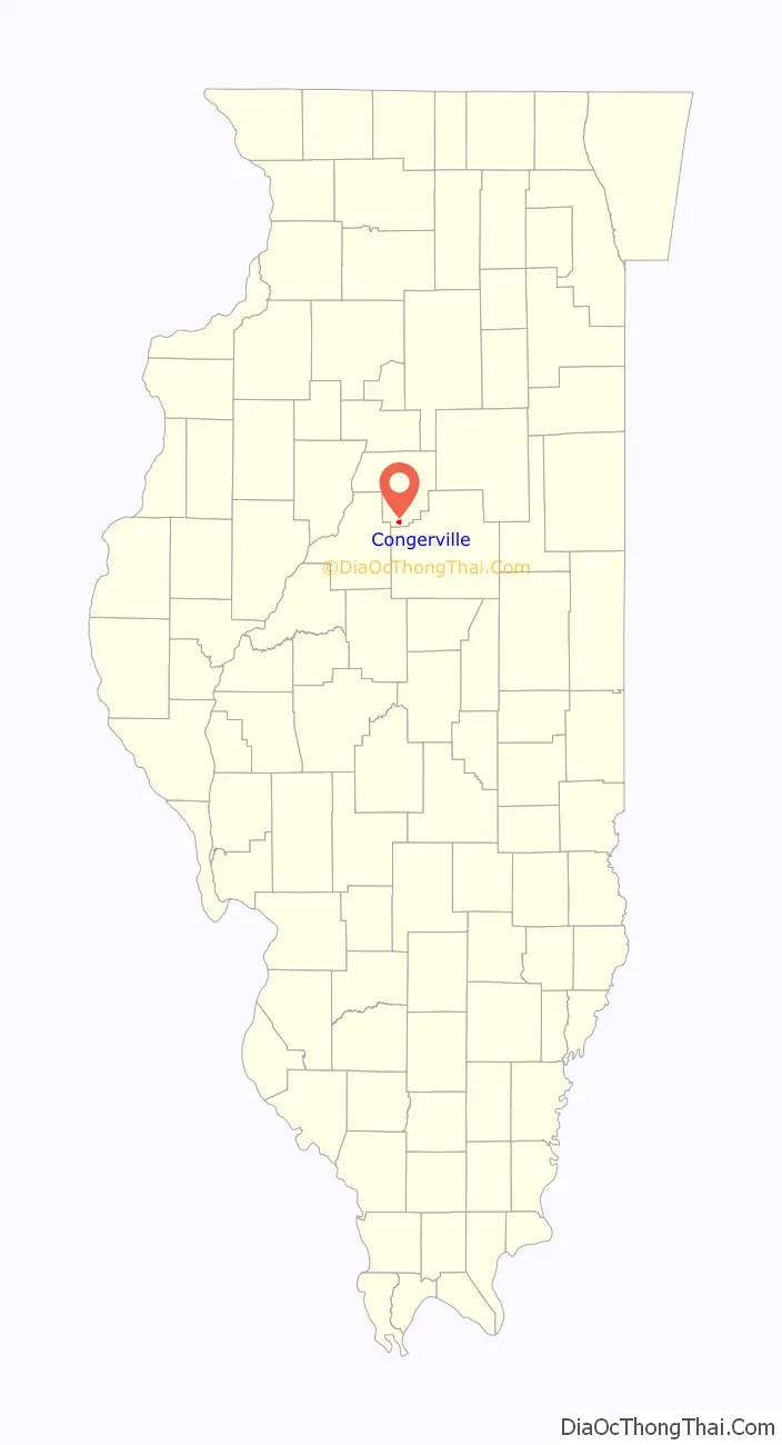
Congerville location map. Where is Congerville village?
History
The site of Congerville was surveyed for Joseph Schrock on 2 January 1888 and the village was known as Schrock. The name was changed to Conger on 27 February 1888 after the early settler Ben Conger, and then to Congerville on 31 July 1888.
Congerville Road Map
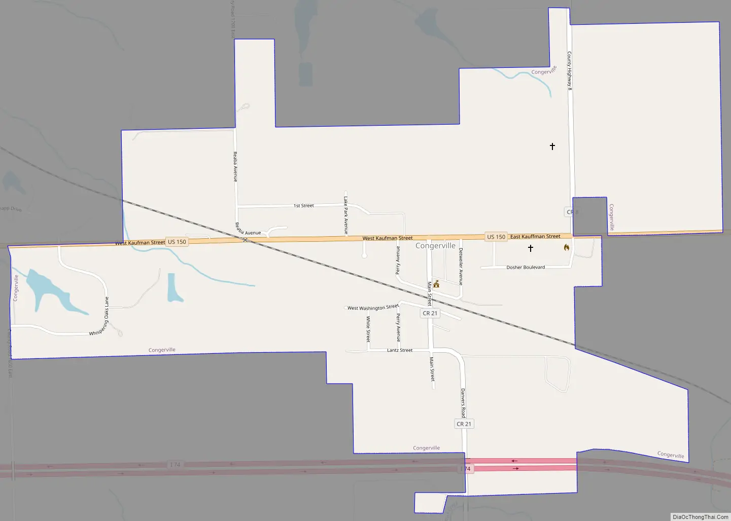
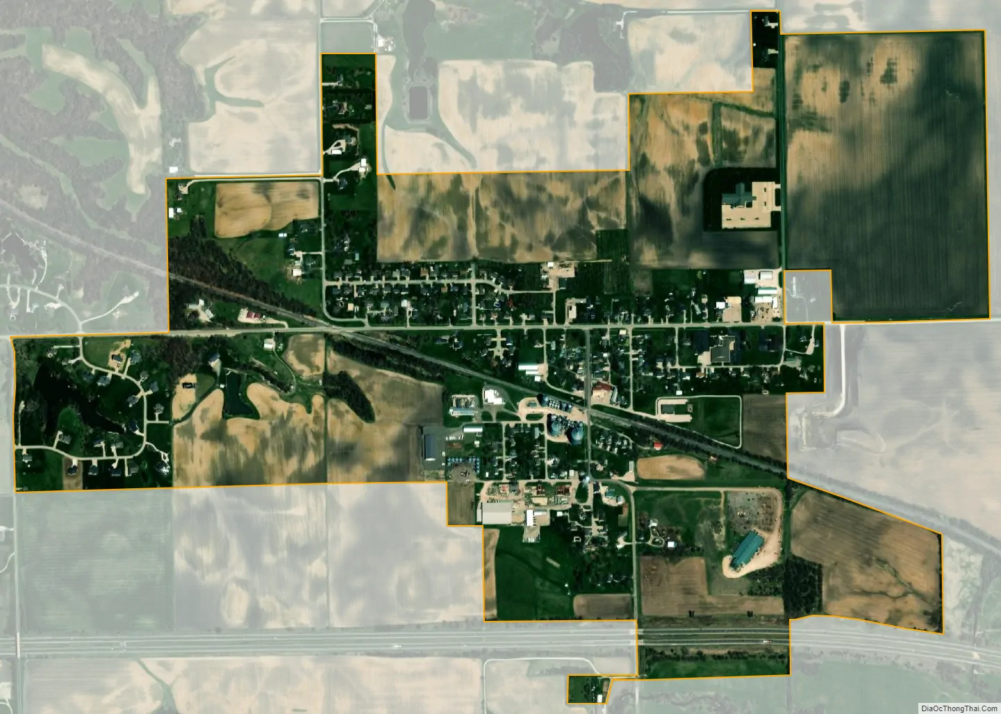
Congerville city Satellite Map
Geography
Congerville is located at 40°36′51″N 89°12′24″W / 40.614130°N 89.206576°W / 40.614130; -89.206576.
After a January 5, 1999 reading of −36 °F (−38 °C), Congerville held the record for the coldest temperature ever officially recorded in Illinois. It took this title from Mount Carroll—which had recorded −35 °F (−37 °C) in 1930—and lost it to the same town on January 31, 2019, when the temperature there dropped to −38 °F (−39 °C).
According to the 2010 census, Congerville has a total area of 1.124 square miles (2.91 km), of which 1.12 square miles (2.90 km) (or 99.64%) is land and 0.004 square miles (0.01 km) (or 0.36%) is water.
See also
Map of Illinois State and its subdivision:- Adams
- Alexander
- Bond
- Boone
- Brown
- Bureau
- Calhoun
- Carroll
- Cass
- Champaign
- Christian
- Clark
- Clay
- Clinton
- Coles
- Cook
- Crawford
- Cumberland
- De Kalb
- De Witt
- Douglas
- Dupage
- Edgar
- Edwards
- Effingham
- Fayette
- Ford
- Franklin
- Fulton
- Gallatin
- Greene
- Grundy
- Hamilton
- Hancock
- Hardin
- Henderson
- Henry
- Iroquois
- Jackson
- Jasper
- Jefferson
- Jersey
- Jo Daviess
- Johnson
- Kane
- Kankakee
- Kendall
- Knox
- La Salle
- Lake
- Lake Michigan
- Lawrence
- Lee
- Livingston
- Logan
- Macon
- Macoupin
- Madison
- Marion
- Marshall
- Mason
- Massac
- McDonough
- McHenry
- McLean
- Menard
- Mercer
- Monroe
- Montgomery
- Morgan
- Moultrie
- Ogle
- Peoria
- Perry
- Piatt
- Pike
- Pope
- Pulaski
- Putnam
- Randolph
- Richland
- Rock Island
- Saint Clair
- Saline
- Sangamon
- Schuyler
- Scott
- Shelby
- Stark
- Stephenson
- Tazewell
- Union
- Vermilion
- Wabash
- Warren
- Washington
- Wayne
- White
- Whiteside
- Will
- Williamson
- Winnebago
- Woodford
- Alabama
- Alaska
- Arizona
- Arkansas
- California
- Colorado
- Connecticut
- Delaware
- District of Columbia
- Florida
- Georgia
- Hawaii
- Idaho
- Illinois
- Indiana
- Iowa
- Kansas
- Kentucky
- Louisiana
- Maine
- Maryland
- Massachusetts
- Michigan
- Minnesota
- Mississippi
- Missouri
- Montana
- Nebraska
- Nevada
- New Hampshire
- New Jersey
- New Mexico
- New York
- North Carolina
- North Dakota
- Ohio
- Oklahoma
- Oregon
- Pennsylvania
- Rhode Island
- South Carolina
- South Dakota
- Tennessee
- Texas
- Utah
- Vermont
- Virginia
- Washington
- West Virginia
- Wisconsin
- Wyoming