Dieterich is a village in Effingham County, Illinois, United States. The population was 890 at the 2020 census. Dieterich is part of the Effingham, IL Micropolitan Statistical Area.
| Name: | Dieterich village |
|---|---|
| LSAD Code: | 47 |
| LSAD Description: | village (suffix) |
| State: | Illinois |
| County: | Effingham County |
| Elevation: | 594 ft (181 m) |
| Total Area: | 1.37 sq mi (3.54 km²) |
| Land Area: | 1.37 sq mi (3.54 km²) |
| Water Area: | 0.00 sq mi (0.00 km²) |
| Total Population: | 890 |
| Population Density: | 651.54/sq mi (251.57/km²) |
| Area code: | 217 |
| FIPS code: | 1719915 |
| Website: | www.dieterichillinois.com |
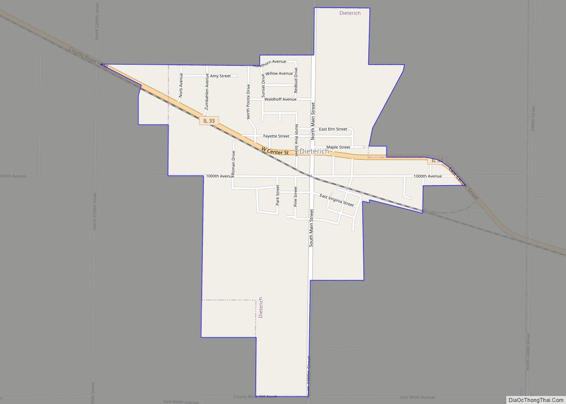
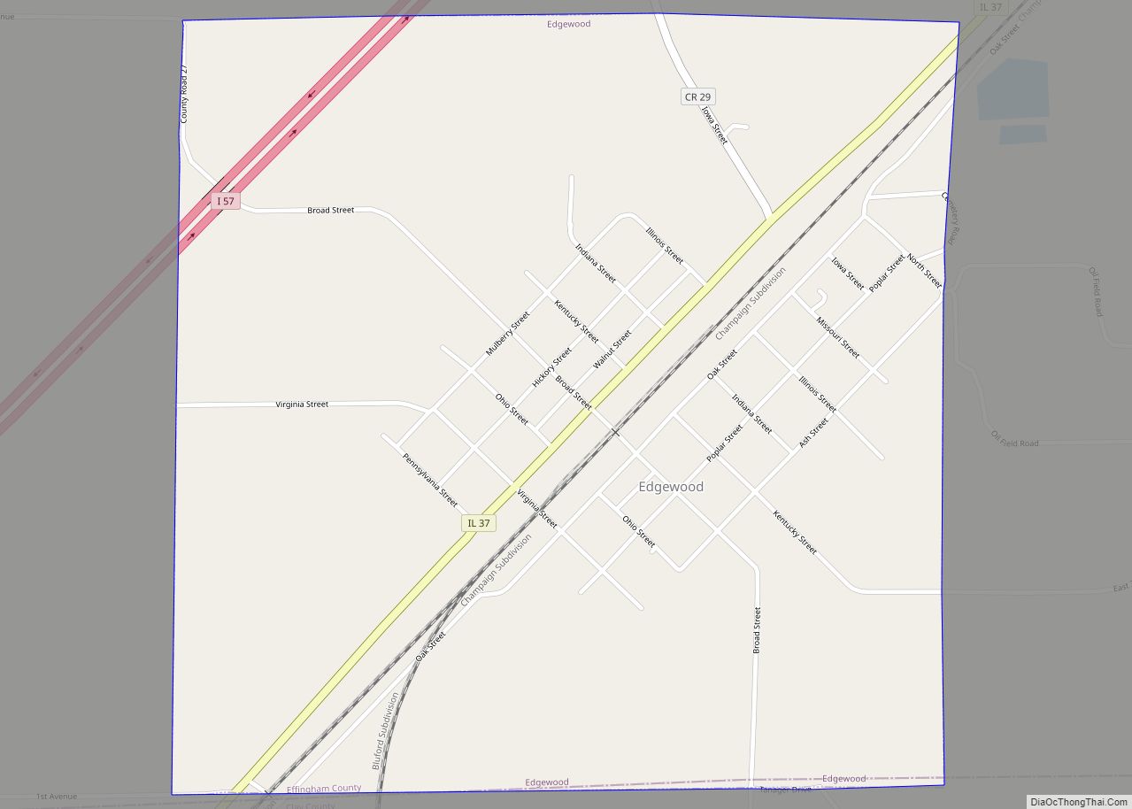
Online Interactive Map
Click on ![]() to view map in "full screen" mode.
to view map in "full screen" mode.
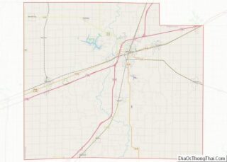
Dieterich location map. Where is Dieterich village?


History
Dieterich was laid out in 1880 when the railroad was extended to that point. The village was named for its founder, Michael Dieterich. A post office has been in operation at Dieterich since 1881.
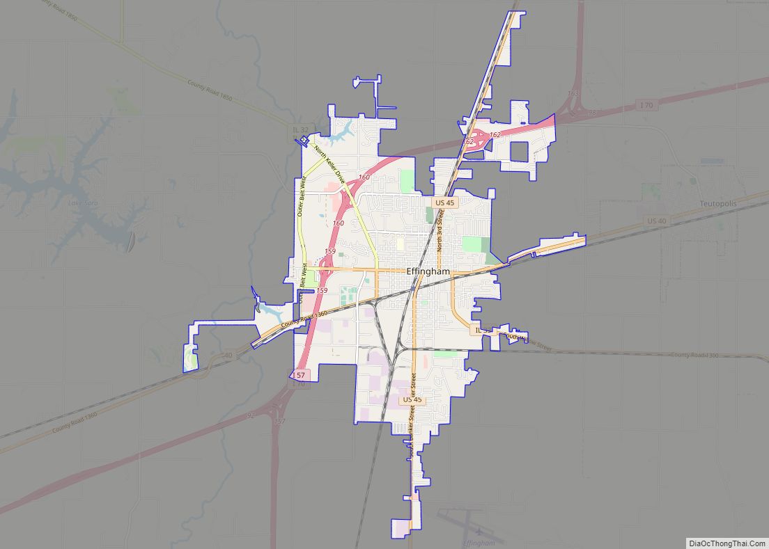
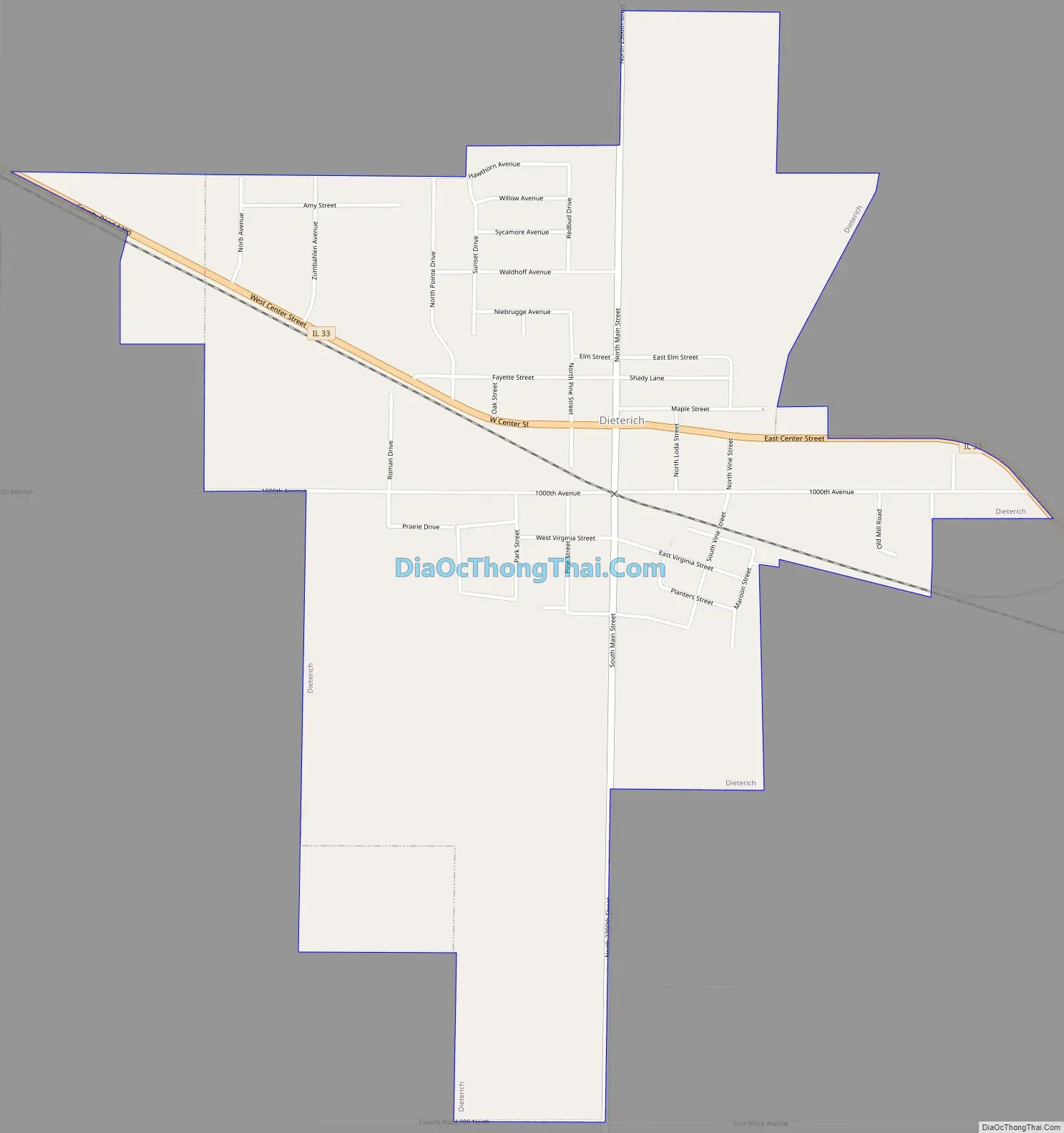
Dieterich Road Map
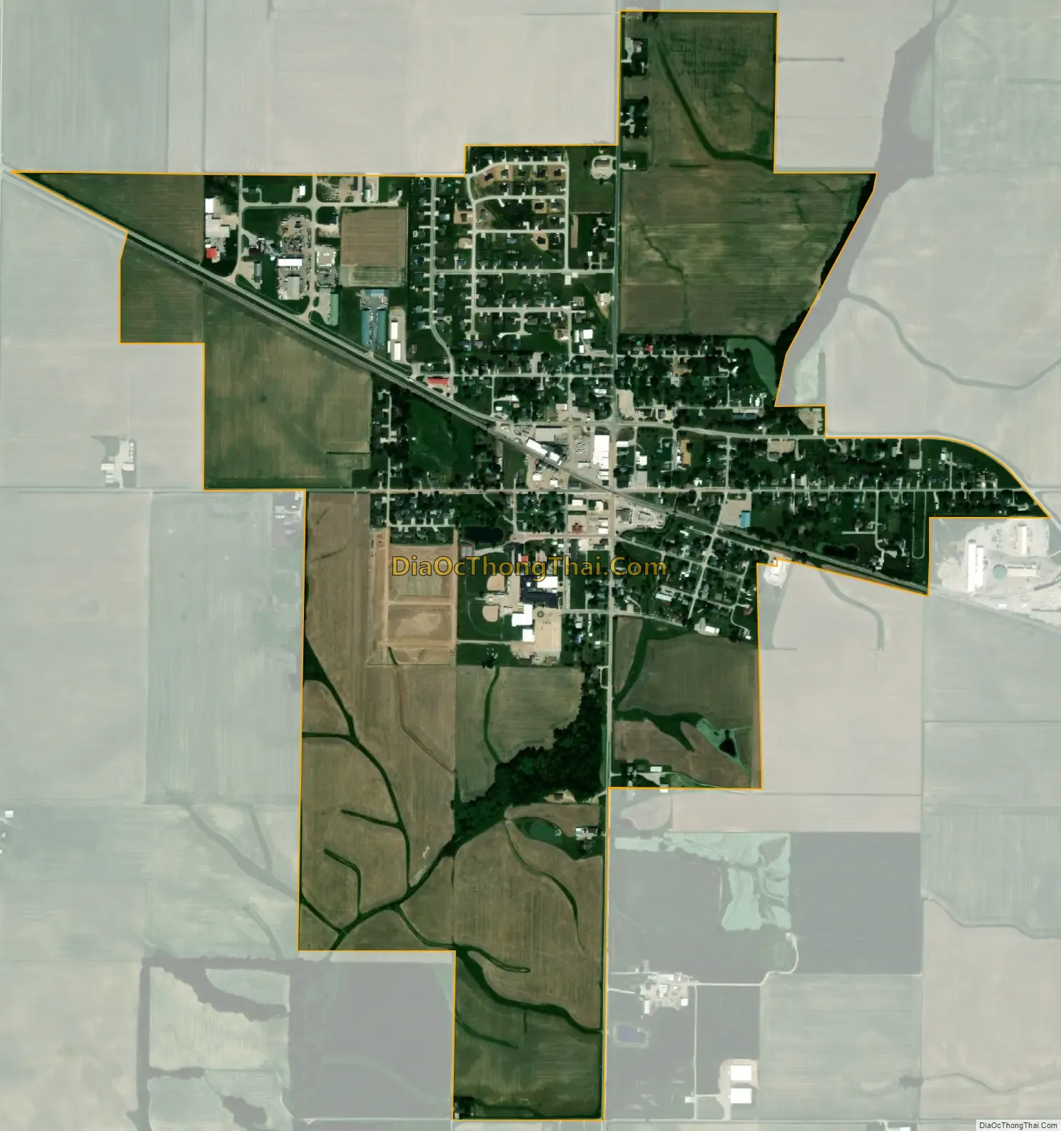
Dieterich city Satellite Map
Geography
Dieterich is located in eastern Effingham County and Illinois Route 33 passes through the village, leading northwest 10 miles (16 km) to Effingham and southeast 13 miles (21 km) to Newton.
According to the 2010 census, Dieterich has a total area of 1.16 square miles (3.00 km), all land.
See also
Map of Illinois State and its subdivision:- Adams
- Alexander
- Bond
- Boone
- Brown
- Bureau
- Calhoun
- Carroll
- Cass
- Champaign
- Christian
- Clark
- Clay
- Clinton
- Coles
- Cook
- Crawford
- Cumberland
- De Kalb
- De Witt
- Douglas
- Dupage
- Edgar
- Edwards
- Effingham
- Fayette
- Ford
- Franklin
- Fulton
- Gallatin
- Greene
- Grundy
- Hamilton
- Hancock
- Hardin
- Henderson
- Henry
- Iroquois
- Jackson
- Jasper
- Jefferson
- Jersey
- Jo Daviess
- Johnson
- Kane
- Kankakee
- Kendall
- Knox
- La Salle
- Lake
- Lake Michigan
- Lawrence
- Lee
- Livingston
- Logan
- Macon
- Macoupin
- Madison
- Marion
- Marshall
- Mason
- Massac
- McDonough
- McHenry
- McLean
- Menard
- Mercer
- Monroe
- Montgomery
- Morgan
- Moultrie
- Ogle
- Peoria
- Perry
- Piatt
- Pike
- Pope
- Pulaski
- Putnam
- Randolph
- Richland
- Rock Island
- Saint Clair
- Saline
- Sangamon
- Schuyler
- Scott
- Shelby
- Stark
- Stephenson
- Tazewell
- Union
- Vermilion
- Wabash
- Warren
- Washington
- Wayne
- White
- Whiteside
- Will
- Williamson
- Winnebago
- Woodford
- Alabama
- Alaska
- Arizona
- Arkansas
- California
- Colorado
- Connecticut
- Delaware
- District of Columbia
- Florida
- Georgia
- Hawaii
- Idaho
- Illinois
- Indiana
- Iowa
- Kansas
- Kentucky
- Louisiana
- Maine
- Maryland
- Massachusetts
- Michigan
- Minnesota
- Mississippi
- Missouri
- Montana
- Nebraska
- Nevada
- New Hampshire
- New Jersey
- New Mexico
- New York
- North Carolina
- North Dakota
- Ohio
- Oklahoma
- Oregon
- Pennsylvania
- Rhode Island
- South Carolina
- South Dakota
- Tennessee
- Texas
- Utah
- Vermont
- Virginia
- Washington
- West Virginia
- Wisconsin
- Wyoming