Teutopolis is a village in Effingham County, Illinois, United States. As of the 2020 census it had a population of 1,618.
| Name: | Teutopolis village |
|---|---|
| LSAD Code: | 47 |
| LSAD Description: | village (suffix) |
| State: | Illinois |
| County: | Effingham County |
| Elevation: | 600 ft (200 m) |
| Total Area: | 2.04 sq mi (5.29 km²) |
| Land Area: | 2.04 sq mi (5.29 km²) |
| Water Area: | 0.00 sq mi (0.00 km²) |
| Total Population: | 1,618 |
| Population Density: | 791.97/sq mi (305.82/km²) |
| Area code: | 217 |
| FIPS code: | 1774743 |
| Website: | teutopolis.com |
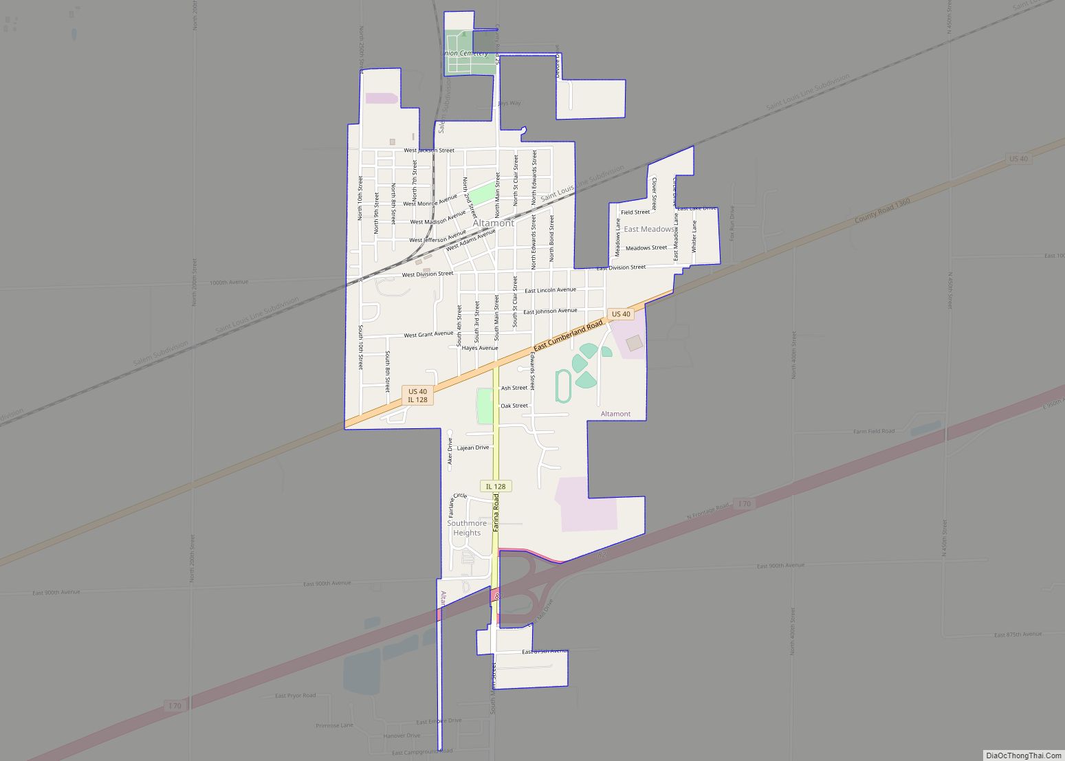
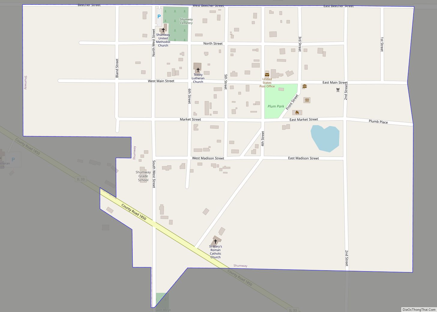
Online Interactive Map
Click on ![]() to view map in "full screen" mode.
to view map in "full screen" mode.
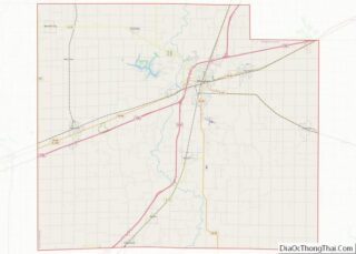
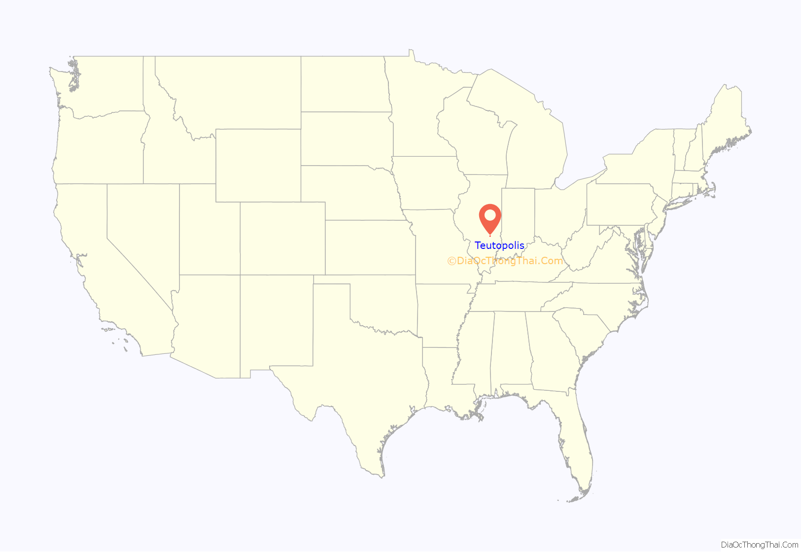
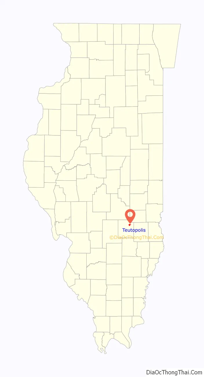
Teutopolis location map. Where is Teutopolis village?
History
Teutopolis, “City of the Teutons”, or Germans, was established in 1839 along the National Road, now U.S. Route 40. It is the only town in the United States with this name.
Clemens Uptmor from the Duchy of Oldenburg, and Kingdom of Hanover, Germany, came to the United States in 1834 along with his brother Herman H. Uptmor and a few neighbors. They settled first in Cincinnati, then the gateway to the west for German Catholics. In 1837 they formed a land company for the purchase of government land under the name of “Deutsche Land-Compagnie oder Ansiedlungsgesellschaft”. John F. Waschefort, Clemens Uptmor and Gerard H. Bergfeld were named to find a location for settlement and then give their recommendations to the land company. The committee opposed settling in Missouri because of slavery and were discouraged from settling in the north central area of Illinois because of the swamps and the black soil. The northeast part of Effingham County was recommended because of the woodlands, well-drained uplands and plentiful game.
Gerhardt Meyer and Heinrich Roennebaum accompanied the original trio back to Illinois to inspect the proposed site. The location was approved, and in July 1839 in Vandalia the land was claimed for homestead purposes in the name of John F. Waschefort. 10,000 acres (4,000 ha) were purchased at $1.25 per acre, with an additional 80 acres (32 ha) being purchased for $5.00 an acre. The town site was surveyed and platted by William J. Hankins. The plan of the town was very similar to the plat of the original town of Cincinnati.
Back in Cincinnati the land was allotted at a drawing held in a fire engine house. For each $50.00 a member contributed he received one “in-lot” and one “out-lot” or “garden lot” in the town and an additional parcel of farmland for a total of 40 acres (16 ha).
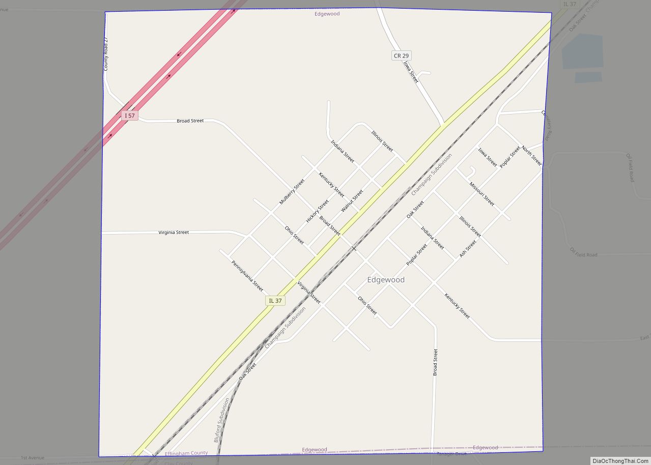
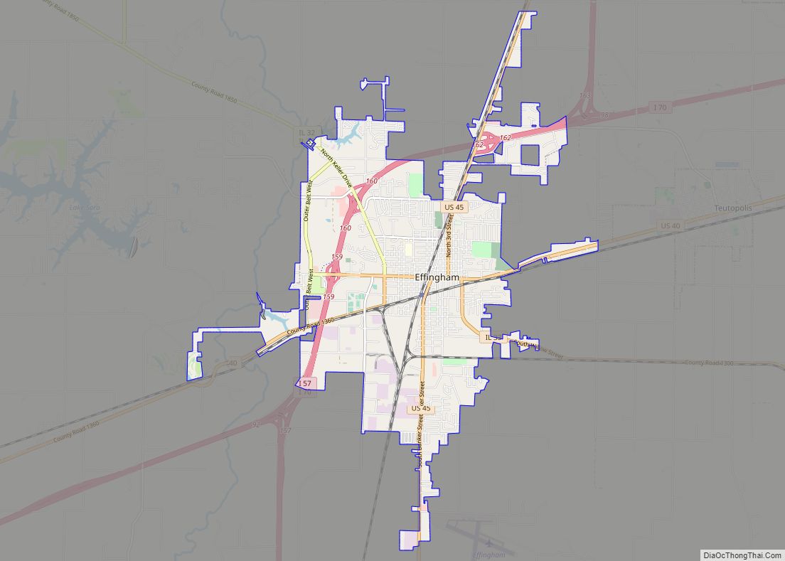
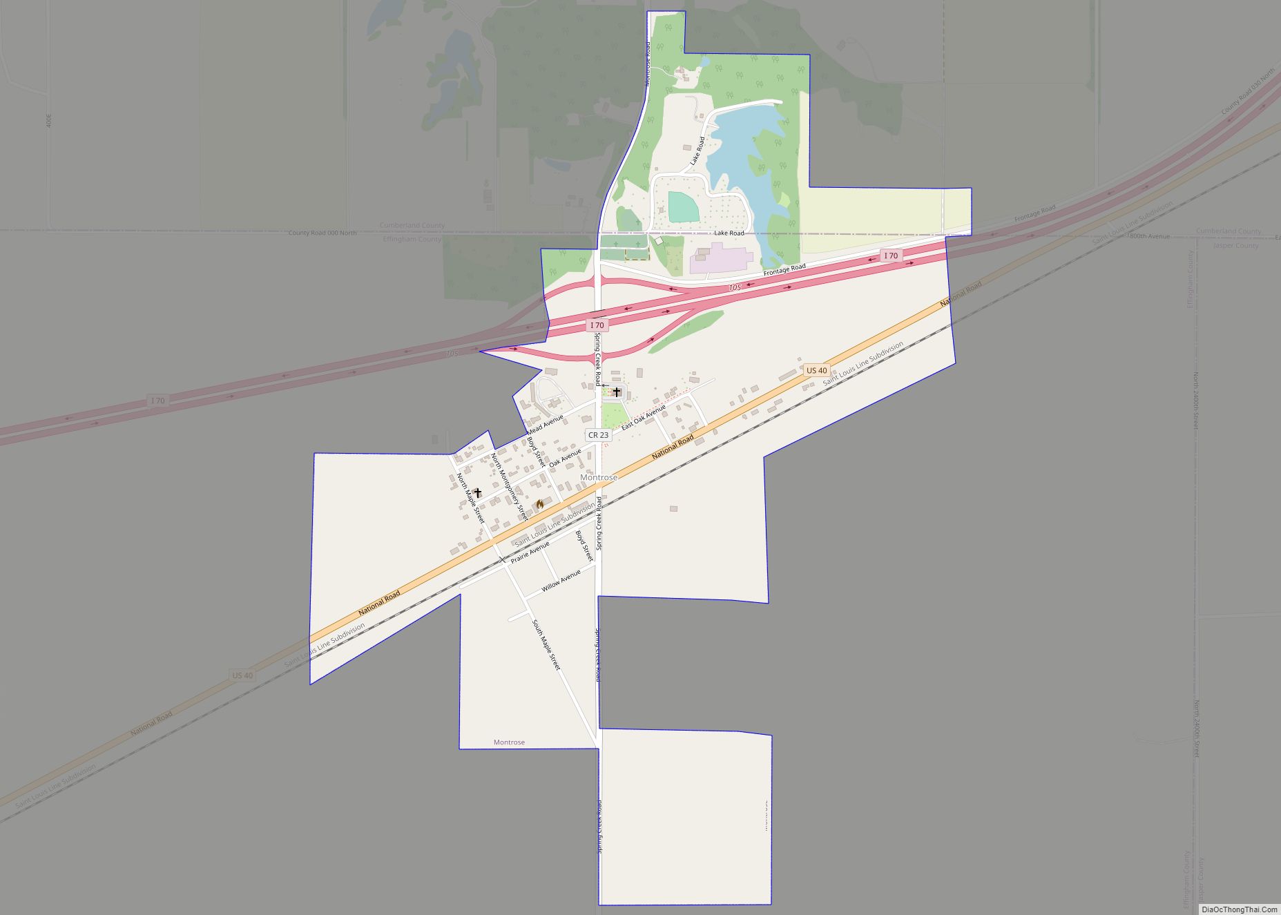
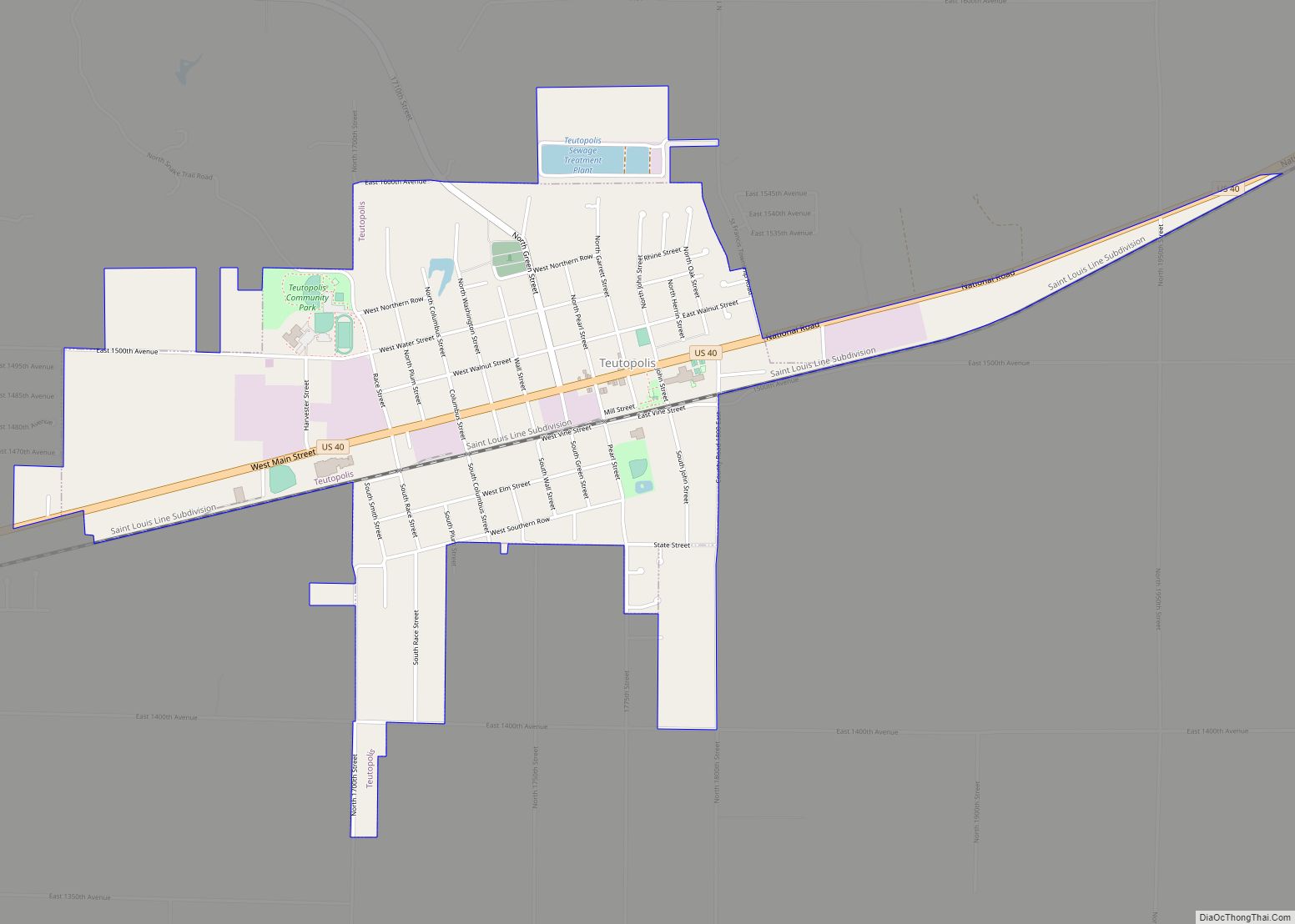
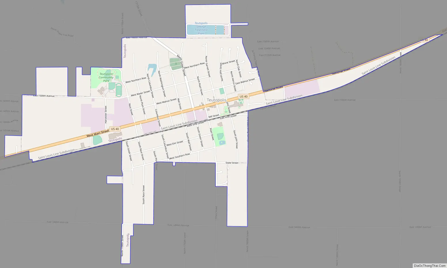
Teutopolis Road Map
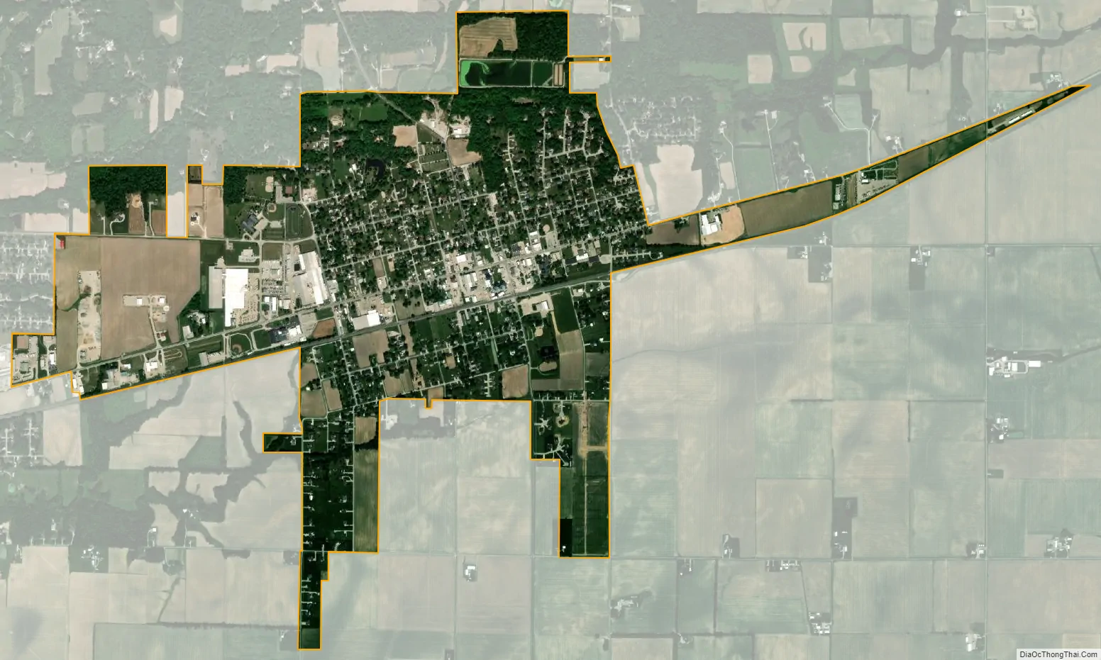
Teutopolis city Satellite Map
Geography
Teutopolis is located in northeastern Effingham County and U.S. Route 40 (National Road) passes through the center of the village, leading west 4 miles (6 km) into Effingham, the county seat, and east 5.5 miles (8.9 km) to Montrose.
According to the 2010 census, Teutopolis has a total area of 1.63 square miles (4.22 km), all land.
See also
Map of Illinois State and its subdivision:- Adams
- Alexander
- Bond
- Boone
- Brown
- Bureau
- Calhoun
- Carroll
- Cass
- Champaign
- Christian
- Clark
- Clay
- Clinton
- Coles
- Cook
- Crawford
- Cumberland
- De Kalb
- De Witt
- Douglas
- Dupage
- Edgar
- Edwards
- Effingham
- Fayette
- Ford
- Franklin
- Fulton
- Gallatin
- Greene
- Grundy
- Hamilton
- Hancock
- Hardin
- Henderson
- Henry
- Iroquois
- Jackson
- Jasper
- Jefferson
- Jersey
- Jo Daviess
- Johnson
- Kane
- Kankakee
- Kendall
- Knox
- La Salle
- Lake
- Lake Michigan
- Lawrence
- Lee
- Livingston
- Logan
- Macon
- Macoupin
- Madison
- Marion
- Marshall
- Mason
- Massac
- McDonough
- McHenry
- McLean
- Menard
- Mercer
- Monroe
- Montgomery
- Morgan
- Moultrie
- Ogle
- Peoria
- Perry
- Piatt
- Pike
- Pope
- Pulaski
- Putnam
- Randolph
- Richland
- Rock Island
- Saint Clair
- Saline
- Sangamon
- Schuyler
- Scott
- Shelby
- Stark
- Stephenson
- Tazewell
- Union
- Vermilion
- Wabash
- Warren
- Washington
- Wayne
- White
- Whiteside
- Will
- Williamson
- Winnebago
- Woodford
- Alabama
- Alaska
- Arizona
- Arkansas
- California
- Colorado
- Connecticut
- Delaware
- District of Columbia
- Florida
- Georgia
- Hawaii
- Idaho
- Illinois
- Indiana
- Iowa
- Kansas
- Kentucky
- Louisiana
- Maine
- Maryland
- Massachusetts
- Michigan
- Minnesota
- Mississippi
- Missouri
- Montana
- Nebraska
- Nevada
- New Hampshire
- New Jersey
- New Mexico
- New York
- North Carolina
- North Dakota
- Ohio
- Oklahoma
- Oregon
- Pennsylvania
- Rhode Island
- South Carolina
- South Dakota
- Tennessee
- Texas
- Utah
- Vermont
- Virginia
- Washington
- West Virginia
- Wisconsin
- Wyoming