Durand is a village in Winnebago County, Illinois, United States. It is part of the Rockford, Illinois Metropolitan Statistical Area The population was 1,443 at the 2010 census, up from 1,081 in 2000.
| Name: | Durand village |
|---|---|
| LSAD Code: | 47 |
| LSAD Description: | village (suffix) |
| State: | Illinois |
| County: | Winnebago County |
| Elevation: | 778 ft (237 m) |
| Total Area: | 0.92 sq mi (2.38 km²) |
| Land Area: | 0.92 sq mi (2.38 km²) |
| Water Area: | 0.00 sq mi (0.00 km²) |
| Total Population: | 1,390 |
| Population Density: | 1,512.51/sq mi (584.02/km²) |
| Area code: | 815 |
| FIPS code: | 1721280 |
| Website: | villageofdurand.com |
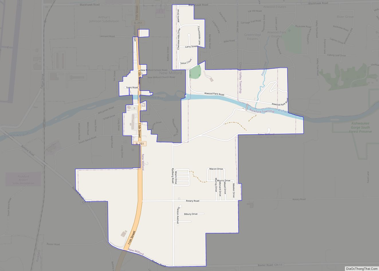
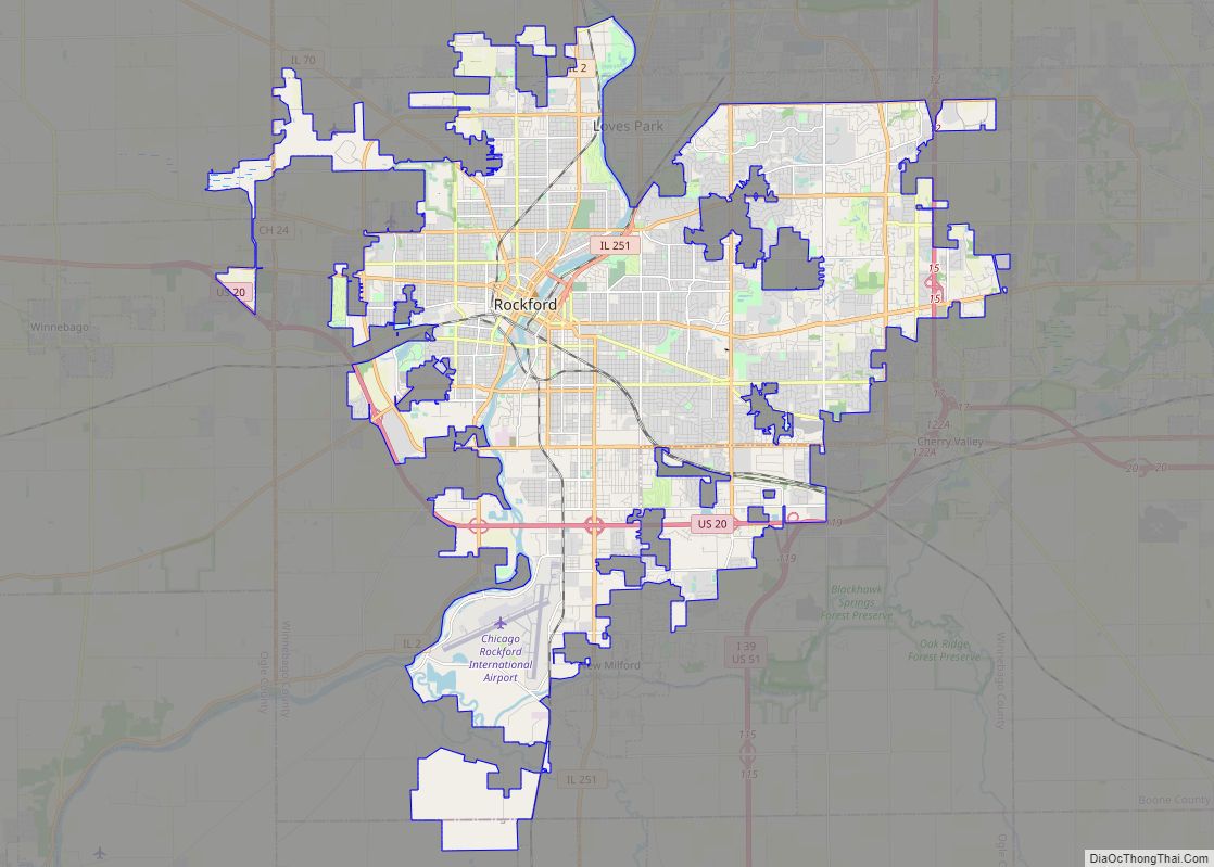
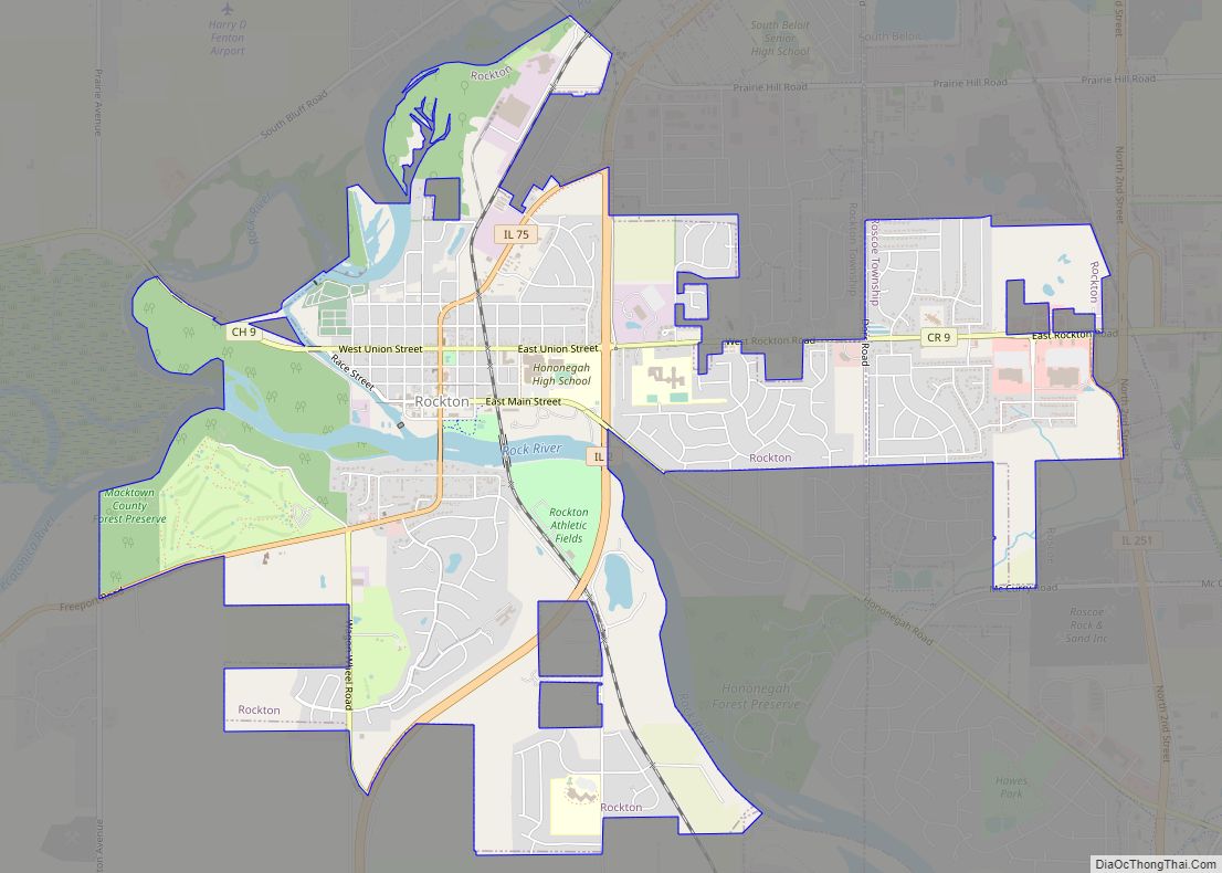
Online Interactive Map
Click on ![]() to view map in "full screen" mode.
to view map in "full screen" mode.
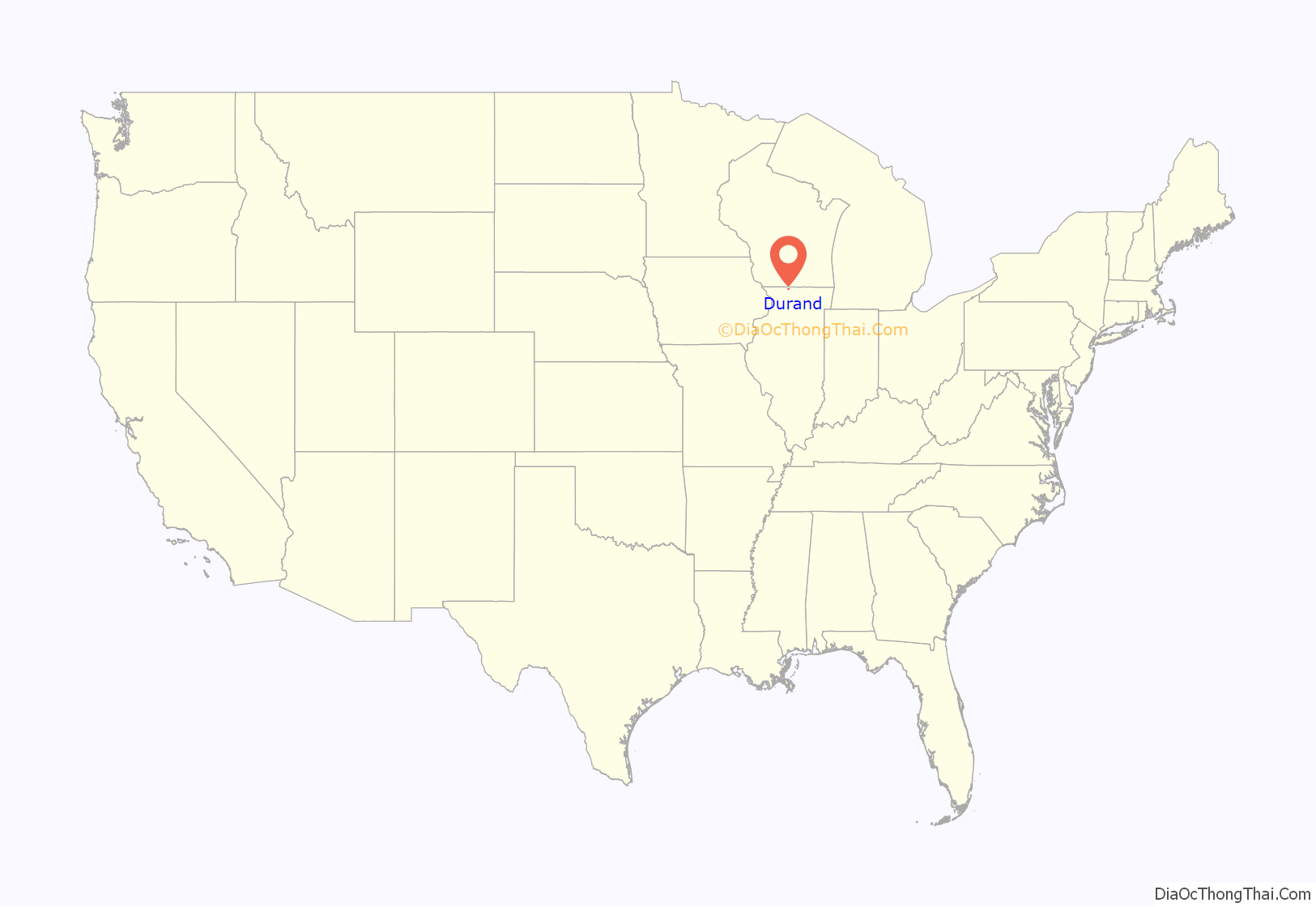
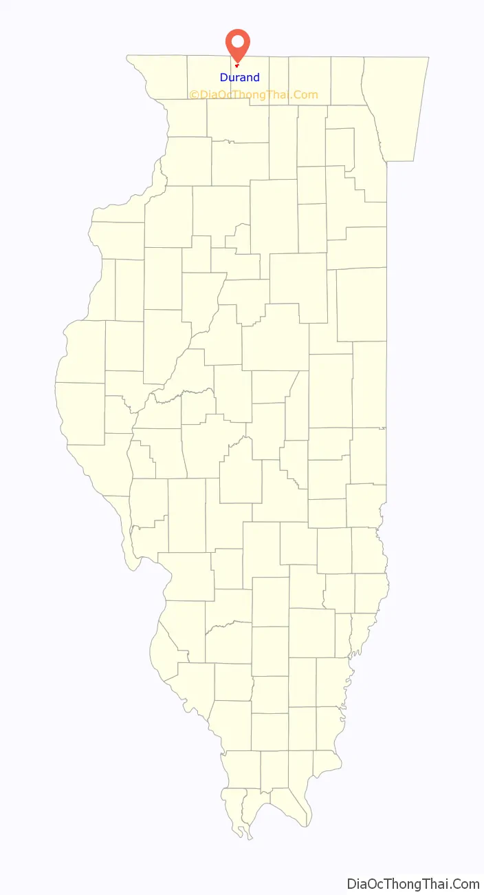
Durand location map. Where is Durand village?
History
Its township’s beginnings initiated originally in a no longer existing settlement called Elton, an area South of Durand and including parts of the Pecatonica and Rock Run townships and settled in 1835 by Nelson Salisbury, Harvey Lower, and Scott Robb. They and nine other families settled the Southwest portion of modern Durand, Pecatonica, and Rock Run area. Durand gave birth to Illinois’ first tax-supported volunteer fire department. Since its settlement, Durand has been prone to devastating fires. Durand’s early flourishings were closely linked to the development of the Racine-Mississippi Railroad later absorbed into Western Union. The line reached Durand in 1857, en route to Freeport, paving the shift from the Elton community into modern Durand and deriving its name from the railroad’s first president, H.S. Durand. At this time, Durand saw the beginning of its prosperity which entailed the demise of the Elton settlement.
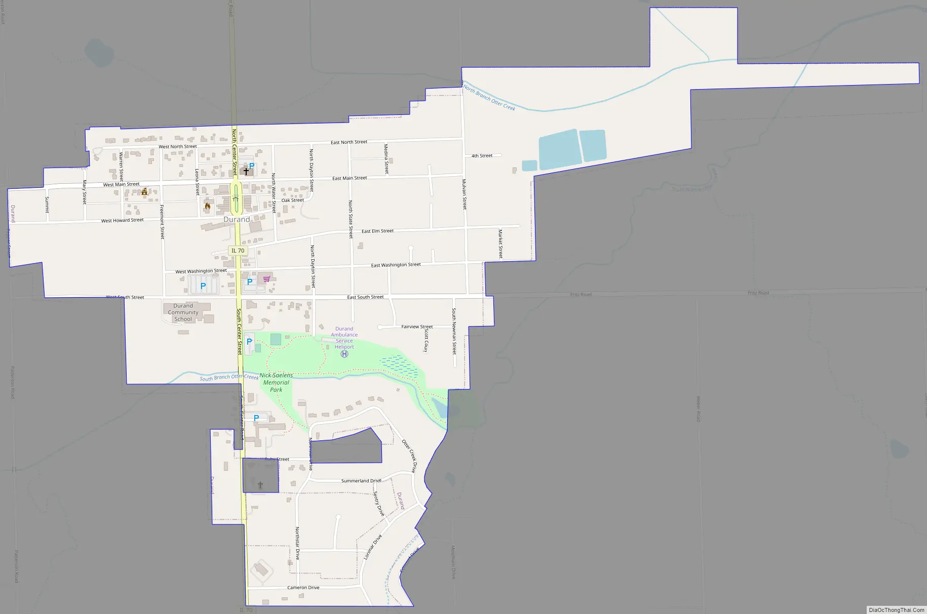
Durand Road Map
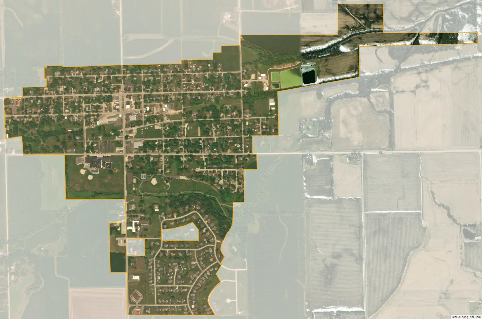
Durand city Satellite Map
Geography
Durand is located at 42°26′2″N 89°19′41″W / 42.43389°N 89.32806°W / 42.43389; -89.32806 (42.433928, -89.328007). It is located 14 miles by road north of US Route 20 on Illinois Route 70. Illinois Route 75 also runs south of town.
According to the 2010 census, Durand has a total area of 0.94 square miles (2.43 km), all land.
See also
Map of Illinois State and its subdivision:- Adams
- Alexander
- Bond
- Boone
- Brown
- Bureau
- Calhoun
- Carroll
- Cass
- Champaign
- Christian
- Clark
- Clay
- Clinton
- Coles
- Cook
- Crawford
- Cumberland
- De Kalb
- De Witt
- Douglas
- Dupage
- Edgar
- Edwards
- Effingham
- Fayette
- Ford
- Franklin
- Fulton
- Gallatin
- Greene
- Grundy
- Hamilton
- Hancock
- Hardin
- Henderson
- Henry
- Iroquois
- Jackson
- Jasper
- Jefferson
- Jersey
- Jo Daviess
- Johnson
- Kane
- Kankakee
- Kendall
- Knox
- La Salle
- Lake
- Lake Michigan
- Lawrence
- Lee
- Livingston
- Logan
- Macon
- Macoupin
- Madison
- Marion
- Marshall
- Mason
- Massac
- McDonough
- McHenry
- McLean
- Menard
- Mercer
- Monroe
- Montgomery
- Morgan
- Moultrie
- Ogle
- Peoria
- Perry
- Piatt
- Pike
- Pope
- Pulaski
- Putnam
- Randolph
- Richland
- Rock Island
- Saint Clair
- Saline
- Sangamon
- Schuyler
- Scott
- Shelby
- Stark
- Stephenson
- Tazewell
- Union
- Vermilion
- Wabash
- Warren
- Washington
- Wayne
- White
- Whiteside
- Will
- Williamson
- Winnebago
- Woodford
- Alabama
- Alaska
- Arizona
- Arkansas
- California
- Colorado
- Connecticut
- Delaware
- District of Columbia
- Florida
- Georgia
- Hawaii
- Idaho
- Illinois
- Indiana
- Iowa
- Kansas
- Kentucky
- Louisiana
- Maine
- Maryland
- Massachusetts
- Michigan
- Minnesota
- Mississippi
- Missouri
- Montana
- Nebraska
- Nevada
- New Hampshire
- New Jersey
- New Mexico
- New York
- North Carolina
- North Dakota
- Ohio
- Oklahoma
- Oregon
- Pennsylvania
- Rhode Island
- South Carolina
- South Dakota
- Tennessee
- Texas
- Utah
- Vermont
- Virginia
- Washington
- West Virginia
- Wisconsin
- Wyoming