Rockton is a village in Winnebago County, Illinois. It is located in the Rock River Valley and is part of the Rockford metropolitan area. The population was 7,685 at the time of the 2010 census, up from 5,296 at the time of the 2000 census.
| Name: | Rockton village |
|---|---|
| LSAD Code: | 47 |
| LSAD Description: | village (suffix) |
| State: | Illinois |
| County: | Winnebago County |
| Elevation: | 738 ft (225 m) |
| Total Area: | 7.08 sq mi (18.33 km²) |
| Land Area: | 6.86 sq mi (17.77 km²) |
| Water Area: | 0.21 sq mi (0.55 km²) |
| Total Population: | 7,863 |
| Population Density: | 1,145.88/sq mi (442.43/km²) |
| Area code: | 815 |
| FIPS code: | 1765156 |
| Website: | http://www.rocktonvillage.com/ |
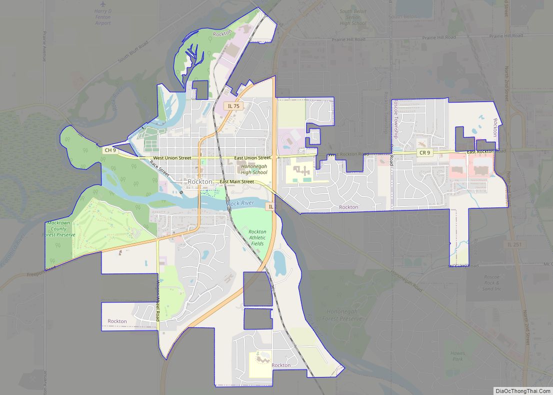
Online Interactive Map
Click on ![]() to view map in "full screen" mode.
to view map in "full screen" mode.
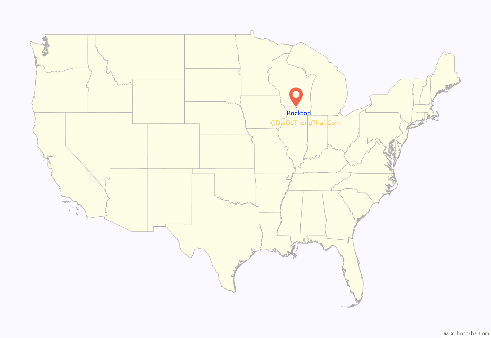
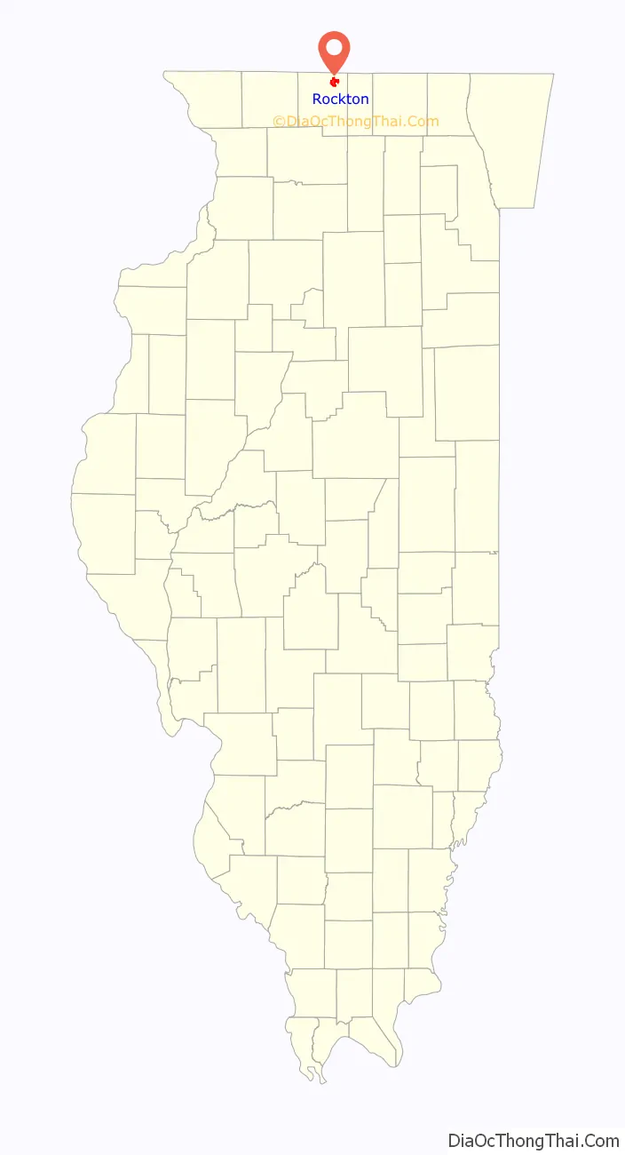
Rockton location map. Where is Rockton village?
History
Native American tribes originally inhabited the region. Stephen Mack, Jr. was the first white settler in the Rockton area. He was married to Hononegah, a respected Native American woman from one of the surrounding tribes. His original outpost (c. 1830s) eventually became Macktown. William Talcott arrived to the area later and, after a disagreement with Mack, settled on the other side of the nearby river within the present village of Rockton. Citizens who lived in Macktown would frequently travel across the river to Rockton but in 1851, the bridge from Macktown to Rockton washed away. The bridge had been built with funding from Stephen Mack and its destruction, along with Mack’s death in 1850, led citizens to permanently move to Rockton. In northern Illinois, Macktown is the only community from the 1830s that is still standing without subsequent development.
On June 14, 2021, a large explosion and subsequent fire affected the Chemtool Lubrication production plant in Rockton. There were no serious injuries, but an area within a one mile radius from the fire was evacuated. The massive smoke plume from the fire was reported to be visible up to 75 miles away from Rockton.
Rockton Road Map

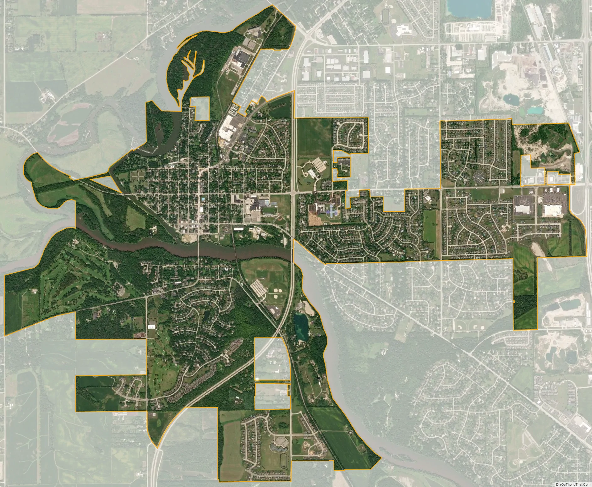
Rockton city Satellite Map
Geography
Rockton is located at 42°27′3″N 89°3′50″W / 42.45083°N 89.06389°W / 42.45083; -89.06389 (42.450753, -89.063844).
According to the 2010 census, Rockton has a total area of 5.708 square miles (14.78 km), of which 5.5 square miles (14.24 km) (or 96.36%) is land and 0.208 square miles (0.54 km) (or 3.64%) is water.
See also
Map of Illinois State and its subdivision:- Adams
- Alexander
- Bond
- Boone
- Brown
- Bureau
- Calhoun
- Carroll
- Cass
- Champaign
- Christian
- Clark
- Clay
- Clinton
- Coles
- Cook
- Crawford
- Cumberland
- De Kalb
- De Witt
- Douglas
- Dupage
- Edgar
- Edwards
- Effingham
- Fayette
- Ford
- Franklin
- Fulton
- Gallatin
- Greene
- Grundy
- Hamilton
- Hancock
- Hardin
- Henderson
- Henry
- Iroquois
- Jackson
- Jasper
- Jefferson
- Jersey
- Jo Daviess
- Johnson
- Kane
- Kankakee
- Kendall
- Knox
- La Salle
- Lake
- Lake Michigan
- Lawrence
- Lee
- Livingston
- Logan
- Macon
- Macoupin
- Madison
- Marion
- Marshall
- Mason
- Massac
- McDonough
- McHenry
- McLean
- Menard
- Mercer
- Monroe
- Montgomery
- Morgan
- Moultrie
- Ogle
- Peoria
- Perry
- Piatt
- Pike
- Pope
- Pulaski
- Putnam
- Randolph
- Richland
- Rock Island
- Saint Clair
- Saline
- Sangamon
- Schuyler
- Scott
- Shelby
- Stark
- Stephenson
- Tazewell
- Union
- Vermilion
- Wabash
- Warren
- Washington
- Wayne
- White
- Whiteside
- Will
- Williamson
- Winnebago
- Woodford
- Alabama
- Alaska
- Arizona
- Arkansas
- California
- Colorado
- Connecticut
- Delaware
- District of Columbia
- Florida
- Georgia
- Hawaii
- Idaho
- Illinois
- Indiana
- Iowa
- Kansas
- Kentucky
- Louisiana
- Maine
- Maryland
- Massachusetts
- Michigan
- Minnesota
- Mississippi
- Missouri
- Montana
- Nebraska
- Nevada
- New Hampshire
- New Jersey
- New Mexico
- New York
- North Carolina
- North Dakota
- Ohio
- Oklahoma
- Oregon
- Pennsylvania
- Rhode Island
- South Carolina
- South Dakota
- Tennessee
- Texas
- Utah
- Vermont
- Virginia
- Washington
- West Virginia
- Wisconsin
- Wyoming