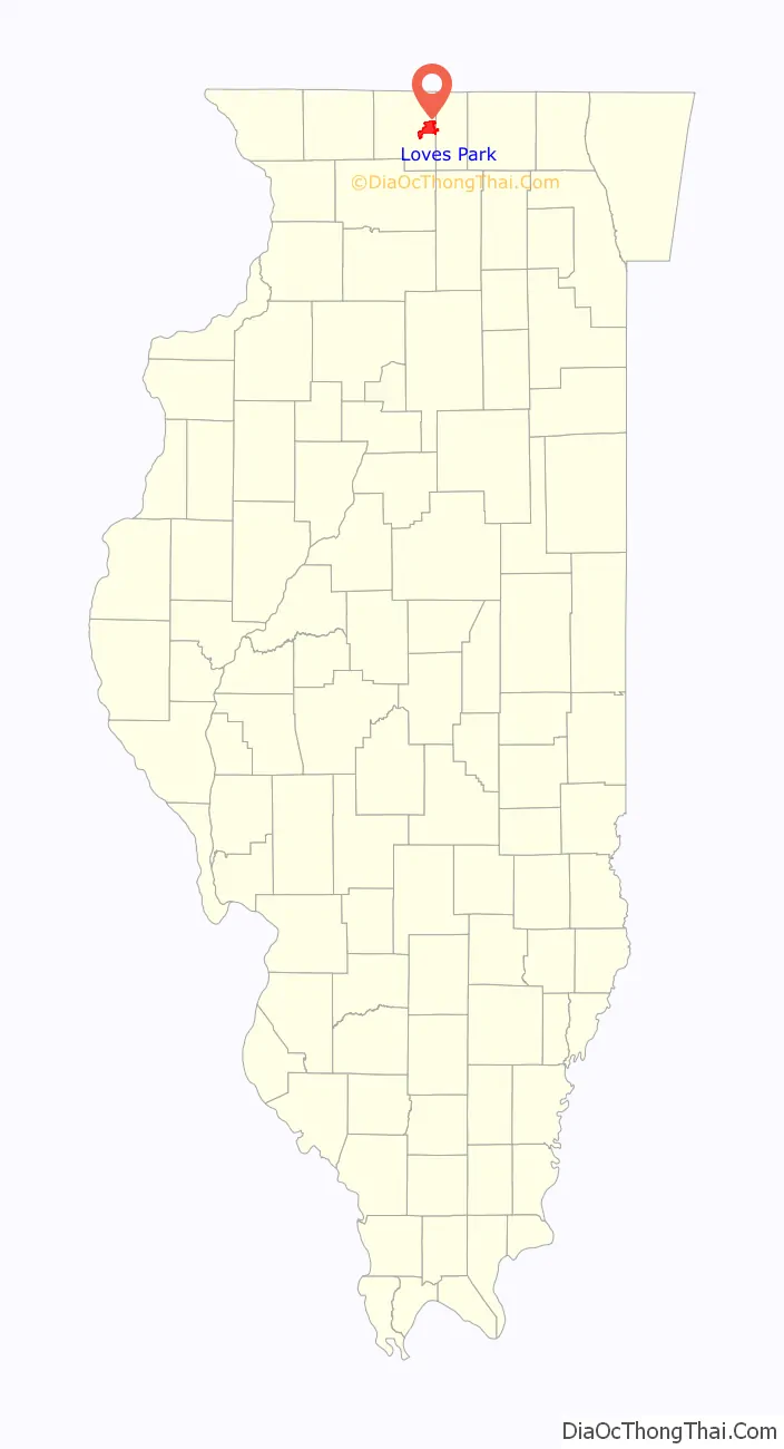
Loves Park is a city in Boone and Winnebago counties in the U.S. state of Illinois. Most of the city is in Winnebago County, with a tiny sliver in the east located in Boone County. The population was 23,996 at the 2010 census, up from 20,044 in 2000.
Loves Park is part of the Rockford Metropolitan Statistical Area.
| Name: | Loves Park city |
|---|---|
| LSAD Code: | 25 |
| LSAD Description: | city (suffix) |
| State: | Illinois |
| County: | Boone County, Winnebago County |
| Elevation: | 728 ft (222 m) |
| Total Area: | 16.85 sq mi (43.65 km²) |
| Land Area: | 16.32 sq mi (42.28 km²) |
| Water Area: | 0.53 sq mi (1.37 km²) |
| Total Population: | 23,397 |
| Population Density: | 1,433.20/sq mi (553.35/km²) |
| FIPS code: | 1745031 |
| Website: | https://cityoflovespark.com/ |
Online Interactive Map
Click on ![]() to view map in "full screen" mode.
to view map in "full screen" mode.
Loves Park location map. Where is Loves Park city?

History
Malcolm Love, an industrialist in Rockford, Illinois, purchased 236 acres of land in this area in 1901 and set up a gathering place that came to be known as Love’s Park. The city of Loves Park was incorporated in 1947. When the city’s economy was negatively affected by the early 1980s recession, City Hall was moved from the Grand Avenue fire station into the Marshall Middle School to save money. In 2001, Danfoss moved their plant from Rockford to Loves Park, becoming one of the town’s largest employers.
Loves Park Road Map

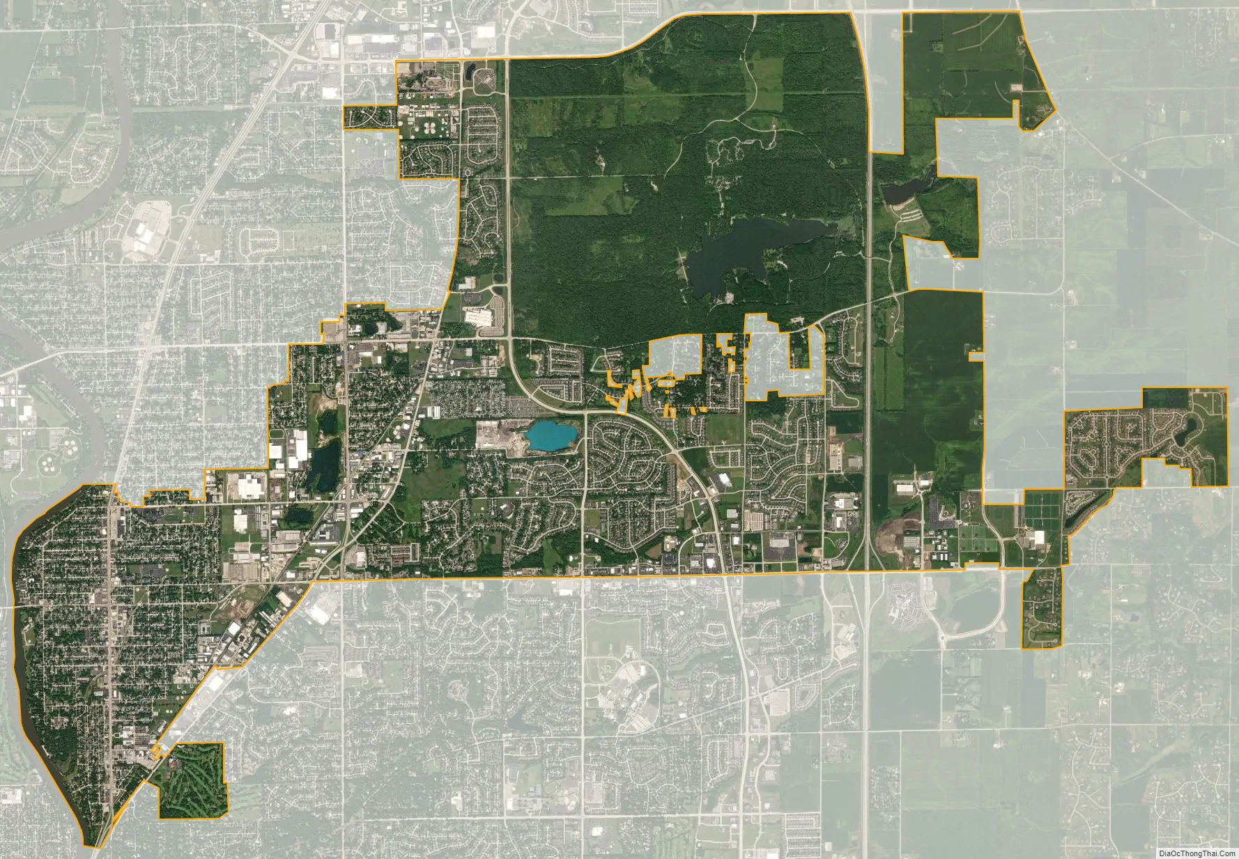
Loves Park city Satellite Map
Geography
Loves Park is located at 42°19′34″N 89°1′33″W / 42.32611°N 89.02583°W / 42.32611; -89.02583 (42.326227, -89.025739).
According to the 2010 census, Loves Park has a total area of 16.446 square miles (42.59 km), of which 16.03 square miles (41.52 km) (or 97.47%) is land and 0.416 square miles (1.08 km) (or 2.53%) is water.
See also
Map of Illinois State and its subdivision:- Adams
- Alexander
- Bond
- Boone
- Brown
- Bureau
- Calhoun
- Carroll
- Cass
- Champaign
- Christian
- Clark
- Clay
- Clinton
- Coles
- Cook
- Crawford
- Cumberland
- De Kalb
- De Witt
- Douglas
- Dupage
- Edgar
- Edwards
- Effingham
- Fayette
- Ford
- Franklin
- Fulton
- Gallatin
- Greene
- Grundy
- Hamilton
- Hancock
- Hardin
- Henderson
- Henry
- Iroquois
- Jackson
- Jasper
- Jefferson
- Jersey
- Jo Daviess
- Johnson
- Kane
- Kankakee
- Kendall
- Knox
- La Salle
- Lake
- Lake Michigan
- Lawrence
- Lee
- Livingston
- Logan
- Macon
- Macoupin
- Madison
- Marion
- Marshall
- Mason
- Massac
- McDonough
- McHenry
- McLean
- Menard
- Mercer
- Monroe
- Montgomery
- Morgan
- Moultrie
- Ogle
- Peoria
- Perry
- Piatt
- Pike
- Pope
- Pulaski
- Putnam
- Randolph
- Richland
- Rock Island
- Saint Clair
- Saline
- Sangamon
- Schuyler
- Scott
- Shelby
- Stark
- Stephenson
- Tazewell
- Union
- Vermilion
- Wabash
- Warren
- Washington
- Wayne
- White
- Whiteside
- Will
- Williamson
- Winnebago
- Woodford
- Alabama
- Alaska
- Arizona
- Arkansas
- California
- Colorado
- Connecticut
- Delaware
- District of Columbia
- Florida
- Georgia
- Hawaii
- Idaho
- Illinois
- Indiana
- Iowa
- Kansas
- Kentucky
- Louisiana
- Maine
- Maryland
- Massachusetts
- Michigan
- Minnesota
- Mississippi
- Missouri
- Montana
- Nebraska
- Nevada
- New Hampshire
- New Jersey
- New Mexico
- New York
- North Carolina
- North Dakota
- Ohio
- Oklahoma
- Oregon
- Pennsylvania
- Rhode Island
- South Carolina
- South Dakota
- Tennessee
- Texas
- Utah
- Vermont
- Virginia
- Washington
- West Virginia
- Wisconsin
- Wyoming