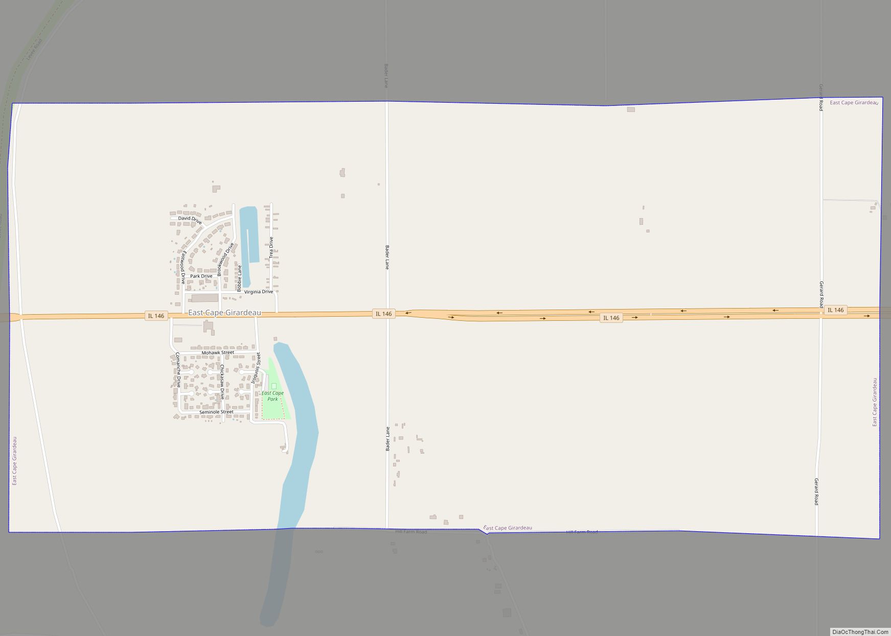
East Cape Girardeau is a village in Alexander County, Illinois, United States. The population was 289 at the 2020 census. It is part of the Cape Girardeau–Jackson, MO-IL Metropolitan Statistical Area.
| Name: | East Cape Girardeau village |
|---|---|
| LSAD Code: | 47 |
| LSAD Description: | village (suffix) |
| State: | Illinois |
| County: | Alexander County |
| Elevation: | 335 ft (102 m) |
| Total Area: | 2.00 sq mi (5.17 km²) |
| Land Area: | 1.96 sq mi (5.08 km²) |
| Water Area: | 0.03 sq mi (0.09 km²) |
| Total Population: | 289 |
| Population Density: | 147.37/sq mi (56.91/km²) |
| Area code: | 618 |
| FIPS code: | 1721605 |
| GNISfeature ID: | 2398772 |
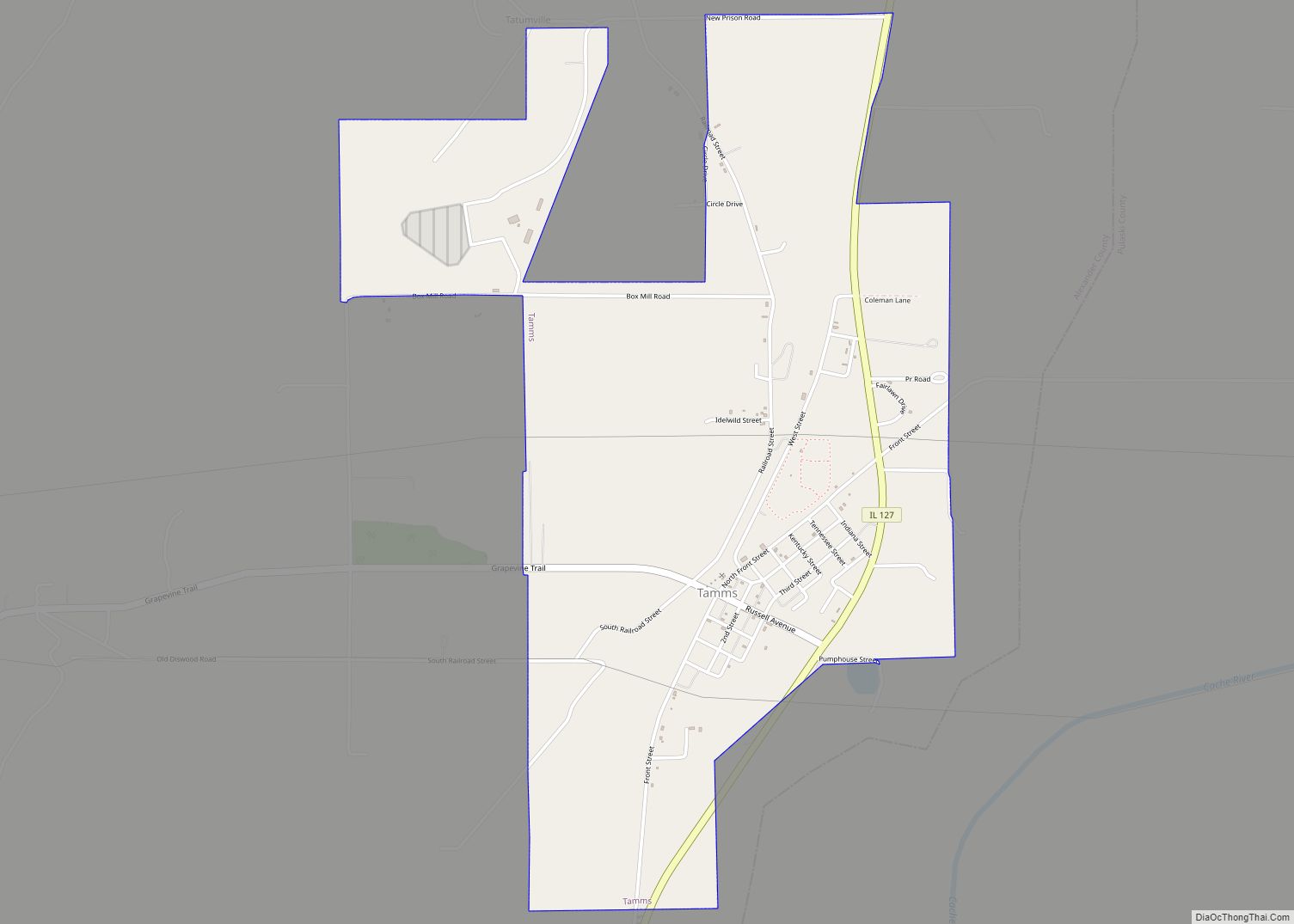
Online Interactive Map
Click on ![]() to view map in "full screen" mode.
to view map in "full screen" mode.
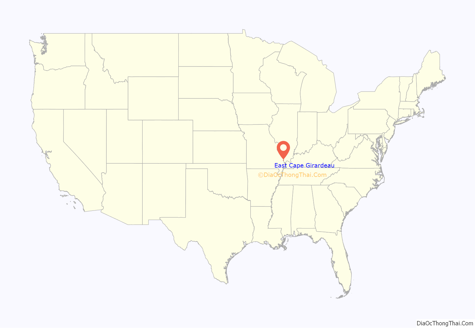
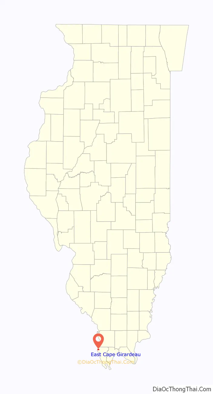
East Cape Girardeau location map. Where is East Cape Girardeau village?
History
A post office was established at East Cape Girardeau in 1874, and remained in operation until 1913. The village lies east of Cape Girardeau, Missouri, hence the name.
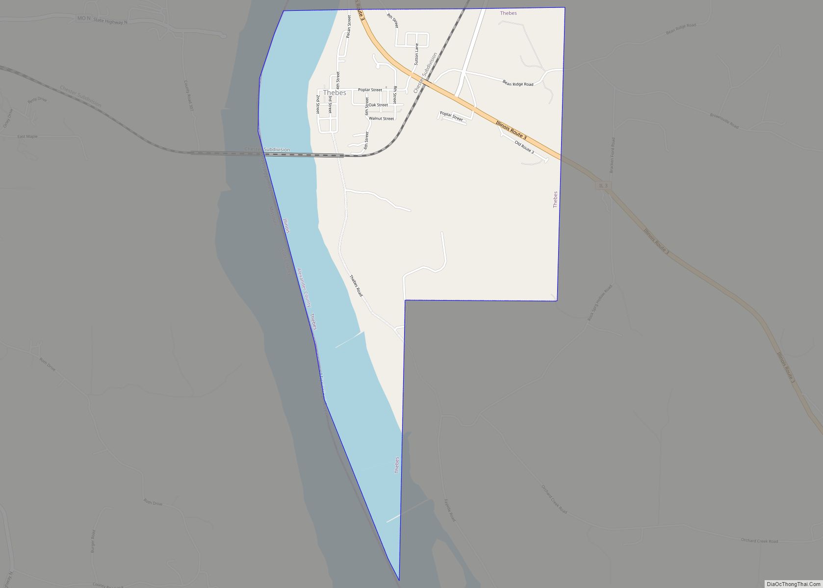
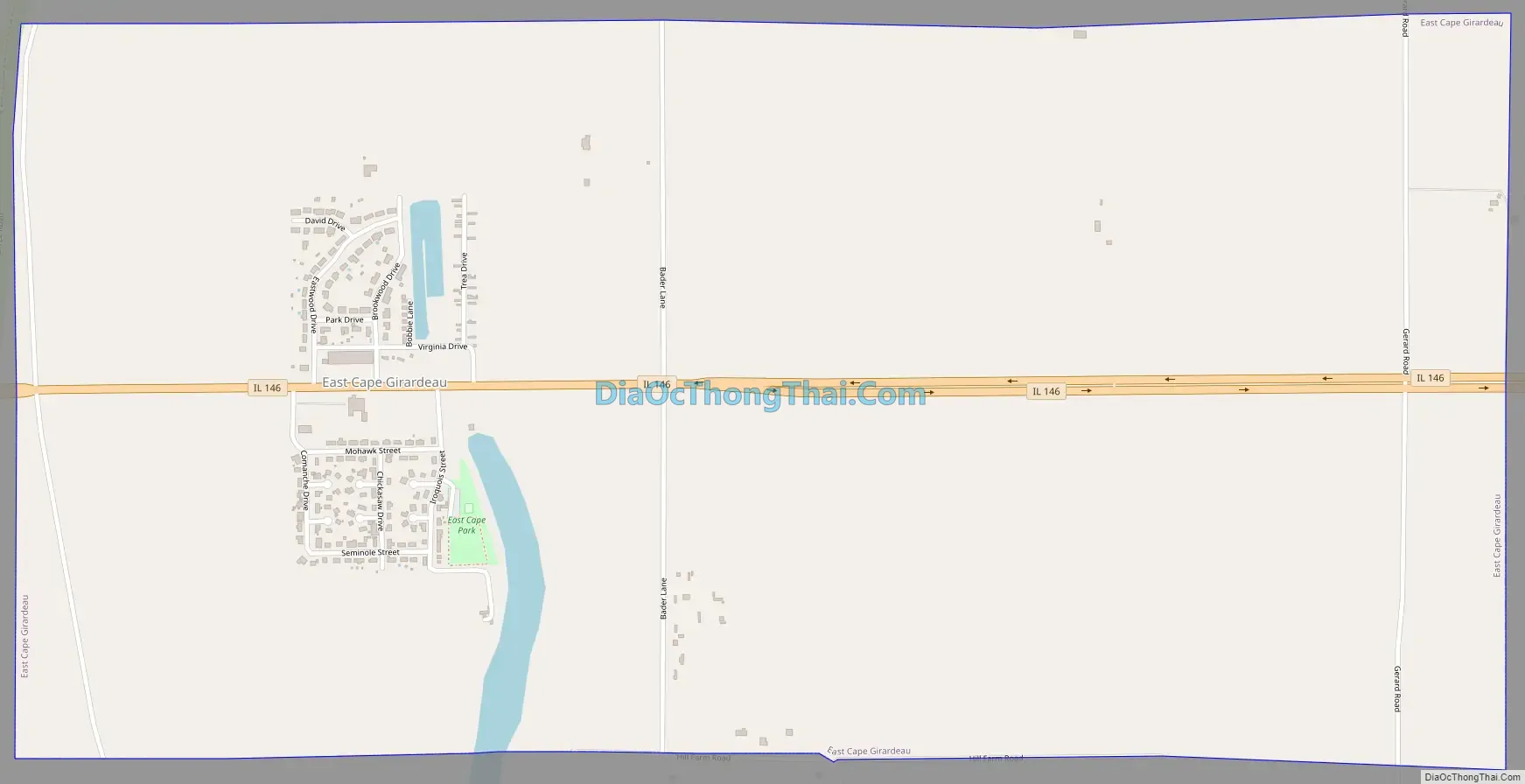
East Cape Girardeau Road Map
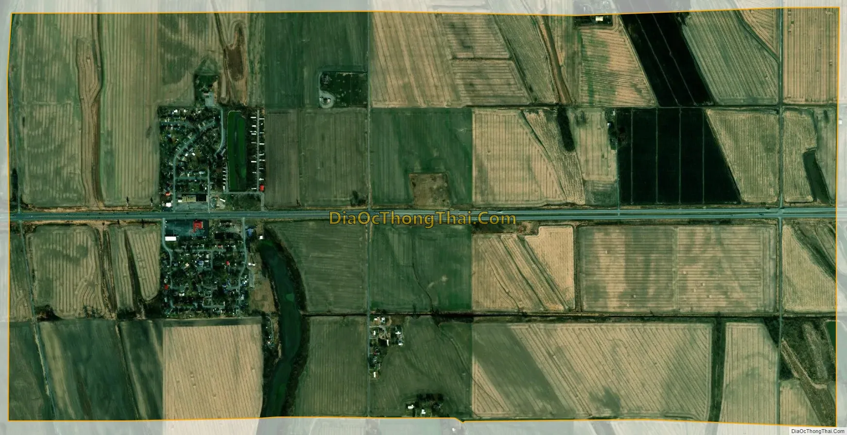
East Cape Girardeau city Satellite Map
Geography
East Cape Girardeau is located at 37°17′46″N 89°29′43″W / 37.29611°N 89.49528°W / 37.29611; -89.49528 (37.296030, -89.495237).
According to the 2021 census gazetteer files, East Cape Girardeau has a total area of 2.00 square miles (5.18 km), of which 1.96 square miles (5.08 km) (or 98.30%) is land and 0.03 square miles (0.08 km) (or 1.70%) is water.
East Cape Girardeau is across the Mississippi River from Cape Girardeau, Missouri. The two are connected by the Bill Emerson Memorial Bridge which opened in December 2003 following the demolition of the Old Mississippi River Bridge constructed in 1928.
See also
Map of Illinois State and its subdivision:- Adams
- Alexander
- Bond
- Boone
- Brown
- Bureau
- Calhoun
- Carroll
- Cass
- Champaign
- Christian
- Clark
- Clay
- Clinton
- Coles
- Cook
- Crawford
- Cumberland
- De Kalb
- De Witt
- Douglas
- Dupage
- Edgar
- Edwards
- Effingham
- Fayette
- Ford
- Franklin
- Fulton
- Gallatin
- Greene
- Grundy
- Hamilton
- Hancock
- Hardin
- Henderson
- Henry
- Iroquois
- Jackson
- Jasper
- Jefferson
- Jersey
- Jo Daviess
- Johnson
- Kane
- Kankakee
- Kendall
- Knox
- La Salle
- Lake
- Lake Michigan
- Lawrence
- Lee
- Livingston
- Logan
- Macon
- Macoupin
- Madison
- Marion
- Marshall
- Mason
- Massac
- McDonough
- McHenry
- McLean
- Menard
- Mercer
- Monroe
- Montgomery
- Morgan
- Moultrie
- Ogle
- Peoria
- Perry
- Piatt
- Pike
- Pope
- Pulaski
- Putnam
- Randolph
- Richland
- Rock Island
- Saint Clair
- Saline
- Sangamon
- Schuyler
- Scott
- Shelby
- Stark
- Stephenson
- Tazewell
- Union
- Vermilion
- Wabash
- Warren
- Washington
- Wayne
- White
- Whiteside
- Will
- Williamson
- Winnebago
- Woodford
- Alabama
- Alaska
- Arizona
- Arkansas
- California
- Colorado
- Connecticut
- Delaware
- District of Columbia
- Florida
- Georgia
- Hawaii
- Idaho
- Illinois
- Indiana
- Iowa
- Kansas
- Kentucky
- Louisiana
- Maine
- Maryland
- Massachusetts
- Michigan
- Minnesota
- Mississippi
- Missouri
- Montana
- Nebraska
- Nevada
- New Hampshire
- New Jersey
- New Mexico
- New York
- North Carolina
- North Dakota
- Ohio
- Oklahoma
- Oregon
- Pennsylvania
- Rhode Island
- South Carolina
- South Dakota
- Tennessee
- Texas
- Utah
- Vermont
- Virginia
- Washington
- West Virginia
- Wisconsin
- Wyoming