Edwardsville is a city in and the county seat of Madison County, Illinois, United States. As of the 2020 census, the population was 26,808. The city was named in honor of Ninian Edwards, then Governor of the Illinois Territory.
Southern Illinois University Edwardsville, the Edwardsville Arts Center, the Edwardsville Journal, the Madison County Record, and the Edwardsville Intelligencer are based here. Edwardsville High School and Metro-East Lutheran High School serve students in the area. Edwardsville also serves as the headquarters for Prairie Farms Dairy, one of the largest dairy cooperatives in the United States and ranked in the top 10 of the largest privately-held companies in the St. Louis region.
Edwardsville is a part of Southern Illinois and the Metro East region within Greater St. Louis, located 18 miles (29 km) northeast of downtown St. Louis. It is part of the Edwardsville School District, which also includes the villages of Glen Carbon, Hamel and Moro, as well as the township areas around them.
| Name: | Edwardsville city |
|---|---|
| LSAD Code: | 25 |
| LSAD Description: | city (suffix) |
| State: | Illinois |
| County: | Madison County |
| Elevation: | 564 ft (172 m) |
| Total Area: | 20.50 sq mi (53.10 km²) |
| Land Area: | 19.89 sq mi (51.53 km²) |
| Water Area: | 0.61 sq mi (1.58 km²) |
| Total Population: | 26,808 |
| Population Density: | 1,347.54/sq mi (520.28/km²) |
| Area code: | 618 |
| FIPS code: | 1722697 |
| GNISfeature ID: | 2394626 |
| Website: | cityofedwardsville.com |
Online Interactive Map
Click on ![]() to view map in "full screen" mode.
to view map in "full screen" mode.
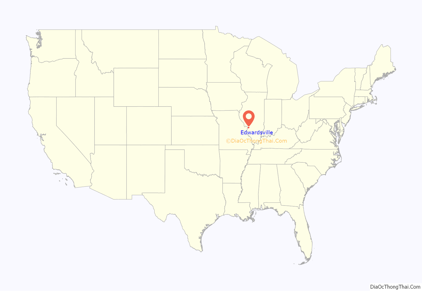
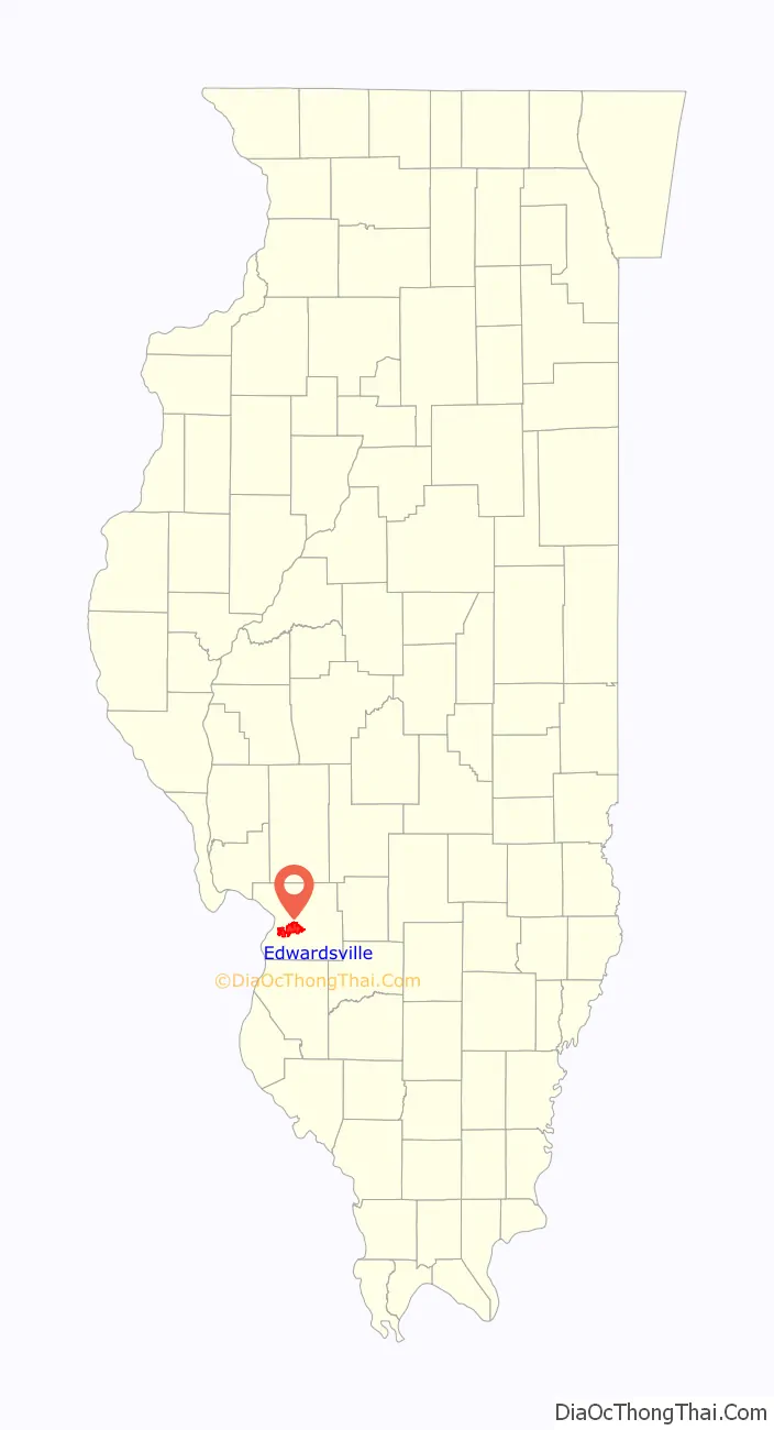
Edwardsville location map. Where is Edwardsville city?
History
Edwardsville was incorporated in 1818. The first European-American settler was Thomas Kirkpatrick, who came in 1805, laid out a community, and served as the Justice of the Peace. He named the community after his friend Ninian Edwards, then territorial governor of Illinois. (Illinois did not become a state until 1818.) The Edwards Trace, a key trail in the settlement of Central Illinois, used Edwardsville as a northward launching point.
In 1868 The Bank of Edwardsville was founded. It was purchased by Champaign, Illinois-based Busey Bank in 2019.
In 1890, St. Louis industrialist N.O. Nelson chose a tract of land just south of Edwardsville to build plumbing factories. He also built a model workers’ cooperative village called Leclaire. He offered workers fair wages with reasonable working hours and a share of the profits. He named the village in honor of the French economist Edme-Jean Leclaire. The village also provided educational and recreational opportunities and made it financially possible for anyone to own a home. Unlike company towns such as Pullman near Chicago, the welfare and quality of life for the workers and their families was a major concern.
In 1934, the Village of Leclaire was incorporated into the City of Edwardsville. The area has a lake and park, baseball field, and the Edwardsville Children’s Museum in the former Rudolph D. Specht memorial schoolhouse. Several Nelson factory buildings were renovated and adapted for use as the historic N. O. Nelson Campus of Lewis and Clark Community College. The recognized Historic District has been listed on the National Register of Historic Places.
Each year on the third Sunday in October, the Friends of Leclaire host the annual Leclaire Parkfest with food, live heritage music, historic displays & tours, artisans, children’s activities, a book sale, and more.
In 1983, Edwardsville’s historic Saint Louis Street was also listed on the National Register of Historic Places. Dating back to 1809, this Historic District has a mile-long visual landscape. More than 50 historic homes date from the middle 19th century to early 20th century. The protection and preservation of Saint Louis Street is overseen by the Historic Saint Louis Street Association.
Five Illinois governors came from Edwardsville: namesake Ninian Edwards, who became a territorial governor in 1809 and later served as governor from 1826 to 1830; Edward Coles, elected in 1822 and a strong opponent of slavery; John Reynolds, governor from 1830 to 1834; Thomas Ford, governor from 1842 to 1846; and Charles Deneen, governor from 1909 to 1913.
Former president Abraham Lincoln was in Edwardsville twice, as an attorney in the 1814 courthouse and a speaker outside the 1857 courthouse on Sept. 11, 1858. The present county courthouse, a square, four-story neoclassical structure of white marble that rises to six stories at the back section, was constructed from 1913 to 1915.
A 2010 issue of Family Circle magazine named Edwardsville third of their “Top 10 Best Towns for Families”.
Edwardsville was heavily affected by the tornado outbreak of December 10–11, 2021. An Amazon warehouse collapsed after being hit by an EF3 tornado and six workers were killed and many others injured.
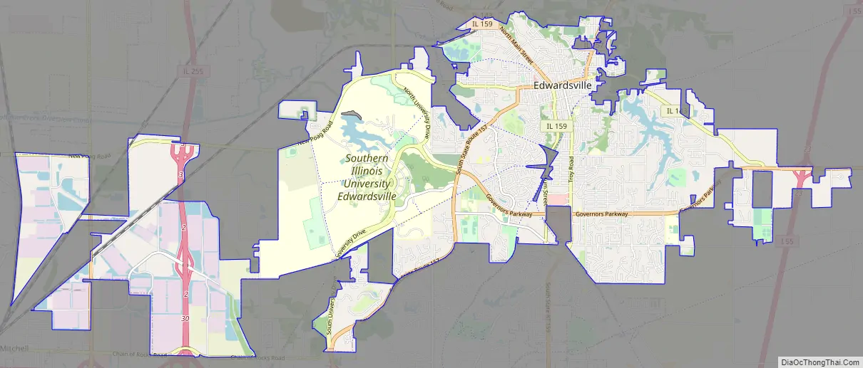
Edwardsville Road Map
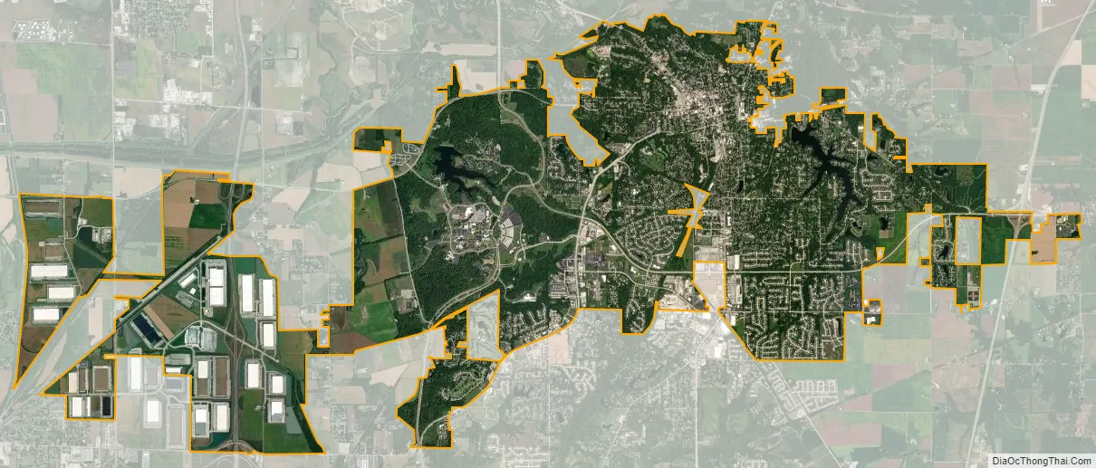
Edwardsville city Satellite Map
Geography
According to the 2010 census, Edwardsville has an area of 20.165 square miles (52.23 km), of which 19.56 square miles (50.66 km) (or 97%) is land and 0.605 square miles (1.57 km) (or 3%) is water.
In recent years, average temperatures in the county seat of Edwardsville have ranged from a low of 19 °F (−7 °C) in January to a high of 90 °F (32 °C) in July, although a record low of −27 °F (−33 °C) was recorded in January 1977 and a record high of 114 °F (46 °C) was recorded in July 2012. Average monthly precipitation ranged from 1.99 inches (51 mm) in January to 4.24 inches (108 mm) in May. Climate Zone 4A per the International Energy Conservation Code.
See also
Map of Illinois State and its subdivision:- Adams
- Alexander
- Bond
- Boone
- Brown
- Bureau
- Calhoun
- Carroll
- Cass
- Champaign
- Christian
- Clark
- Clay
- Clinton
- Coles
- Cook
- Crawford
- Cumberland
- De Kalb
- De Witt
- Douglas
- Dupage
- Edgar
- Edwards
- Effingham
- Fayette
- Ford
- Franklin
- Fulton
- Gallatin
- Greene
- Grundy
- Hamilton
- Hancock
- Hardin
- Henderson
- Henry
- Iroquois
- Jackson
- Jasper
- Jefferson
- Jersey
- Jo Daviess
- Johnson
- Kane
- Kankakee
- Kendall
- Knox
- La Salle
- Lake
- Lake Michigan
- Lawrence
- Lee
- Livingston
- Logan
- Macon
- Macoupin
- Madison
- Marion
- Marshall
- Mason
- Massac
- McDonough
- McHenry
- McLean
- Menard
- Mercer
- Monroe
- Montgomery
- Morgan
- Moultrie
- Ogle
- Peoria
- Perry
- Piatt
- Pike
- Pope
- Pulaski
- Putnam
- Randolph
- Richland
- Rock Island
- Saint Clair
- Saline
- Sangamon
- Schuyler
- Scott
- Shelby
- Stark
- Stephenson
- Tazewell
- Union
- Vermilion
- Wabash
- Warren
- Washington
- Wayne
- White
- Whiteside
- Will
- Williamson
- Winnebago
- Woodford
- Alabama
- Alaska
- Arizona
- Arkansas
- California
- Colorado
- Connecticut
- Delaware
- District of Columbia
- Florida
- Georgia
- Hawaii
- Idaho
- Illinois
- Indiana
- Iowa
- Kansas
- Kentucky
- Louisiana
- Maine
- Maryland
- Massachusetts
- Michigan
- Minnesota
- Mississippi
- Missouri
- Montana
- Nebraska
- Nevada
- New Hampshire
- New Jersey
- New Mexico
- New York
- North Carolina
- North Dakota
- Ohio
- Oklahoma
- Oregon
- Pennsylvania
- Rhode Island
- South Carolina
- South Dakota
- Tennessee
- Texas
- Utah
- Vermont
- Virginia
- Washington
- West Virginia
- Wisconsin
- Wyoming


