Fairmount is a village in Vance Township, Vermilion County, Illinois, United States. It is part of the Danville, Illinois Metropolitan Statistical Area. The population was 642 at the 2010 census.
| Name: | Fairmount village |
|---|---|
| LSAD Code: | 47 |
| LSAD Description: | village (suffix) |
| State: | Illinois |
| County: | Vermilion County |
| Incorporated: | 1863 |
| Elevation: | 673 ft (205 m) |
| Total Area: | 0.32 sq mi (0.82 km²) |
| Land Area: | 0.32 sq mi (0.82 km²) |
| Water Area: | 0.00 sq mi (0.00 km²) 0% |
| Total Population: | 612 |
| Population Density: | 1,930.60/sq mi (744.35/km²) |
| ZIP code: | 61841 |
| Area code: | 217-733-2388 |
| FIPS code: | 1724985 |
| Website: | fairmountil.com |
Online Interactive Map
Click on ![]() to view map in "full screen" mode.
to view map in "full screen" mode.
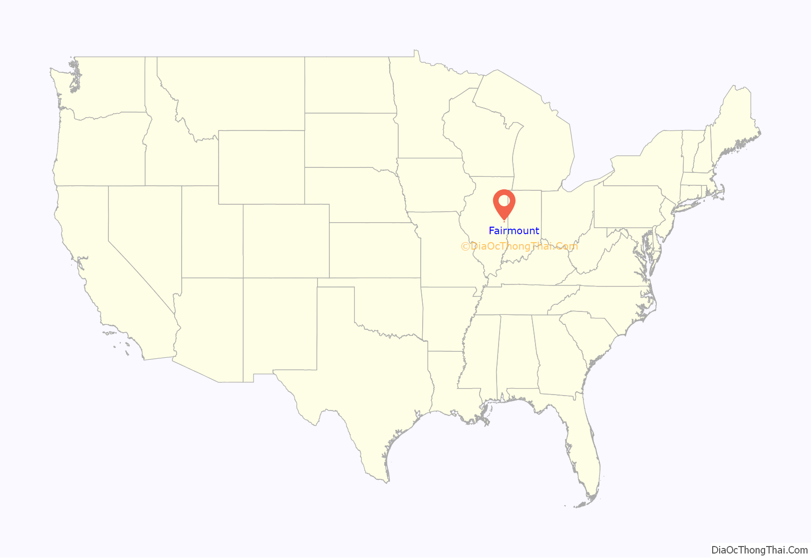
Fairmount location map. Where is Fairmount village?
History
Josiah Hunt, a railroad engineer, reportedly used inside information about the coming of the Great Western Railroad to purchase 40 acres (160,000 m) of land along the new route to found a town. He originally named the town Salina, but this was changed because of an existing Illinois town named Saline; Francis Dougherty, an early settler, is said to have selected the name Fairmount. The town was incorporated in 1863.
Coal mining was attempted east of Fairmount, but this proved to be impractical because of water. Later, Jacob C. Sandusky discovered an outcropping of limestone in his farm, and quarries were established which at one time employed about 400 people. The quarries are now flooded and make a popular fishing location.
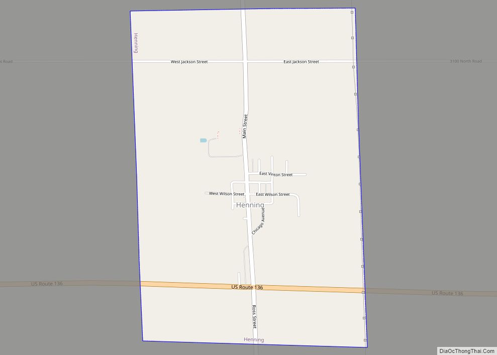
Fairmount Road Map
Fairmount city Satellite Map
Geography
According to the 2010 census, Fairmount has a total area of 0.32 square miles (0.83 km), all land.
See also
Map of Illinois State and its subdivision:- Adams
- Alexander
- Bond
- Boone
- Brown
- Bureau
- Calhoun
- Carroll
- Cass
- Champaign
- Christian
- Clark
- Clay
- Clinton
- Coles
- Cook
- Crawford
- Cumberland
- De Kalb
- De Witt
- Douglas
- Dupage
- Edgar
- Edwards
- Effingham
- Fayette
- Ford
- Franklin
- Fulton
- Gallatin
- Greene
- Grundy
- Hamilton
- Hancock
- Hardin
- Henderson
- Henry
- Iroquois
- Jackson
- Jasper
- Jefferson
- Jersey
- Jo Daviess
- Johnson
- Kane
- Kankakee
- Kendall
- Knox
- La Salle
- Lake
- Lake Michigan
- Lawrence
- Lee
- Livingston
- Logan
- Macon
- Macoupin
- Madison
- Marion
- Marshall
- Mason
- Massac
- McDonough
- McHenry
- McLean
- Menard
- Mercer
- Monroe
- Montgomery
- Morgan
- Moultrie
- Ogle
- Peoria
- Perry
- Piatt
- Pike
- Pope
- Pulaski
- Putnam
- Randolph
- Richland
- Rock Island
- Saint Clair
- Saline
- Sangamon
- Schuyler
- Scott
- Shelby
- Stark
- Stephenson
- Tazewell
- Union
- Vermilion
- Wabash
- Warren
- Washington
- Wayne
- White
- Whiteside
- Will
- Williamson
- Winnebago
- Woodford
- Alabama
- Alaska
- Arizona
- Arkansas
- California
- Colorado
- Connecticut
- Delaware
- District of Columbia
- Florida
- Georgia
- Hawaii
- Idaho
- Illinois
- Indiana
- Iowa
- Kansas
- Kentucky
- Louisiana
- Maine
- Maryland
- Massachusetts
- Michigan
- Minnesota
- Mississippi
- Missouri
- Montana
- Nebraska
- Nevada
- New Hampshire
- New Jersey
- New Mexico
- New York
- North Carolina
- North Dakota
- Ohio
- Oklahoma
- Oregon
- Pennsylvania
- Rhode Island
- South Carolina
- South Dakota
- Tennessee
- Texas
- Utah
- Vermont
- Virginia
- Washington
- West Virginia
- Wisconsin
- Wyoming
