Fairview Heights is a city in St. Clair County, Illinois, United States within Greater St. Louis. It is an eastern suburb of St. Louis. The population was 17,078 at the 2010 census. Fairview Heights is a dominant shopping center for Greater St. Louis and Southern Illinois and includes numerous shopping plazas and St. Clair Square mall. Venture Stores opened its first discount department store in 1970 in Fairview Heights at the northwest corner of Illinois Street (Illinois State Route 159) and Lincoln Trail, which was U.S. Route 50 at the time.
| Name: | Fairview Heights city |
|---|---|
| LSAD Code: | 25 |
| LSAD Description: | city (suffix) |
| State: | Illinois |
| County: | St. Clair County |
| Elevation: | 584 ft (178 m) |
| Total Area: | 11.50 sq mi (29.79 km²) |
| Land Area: | 11.43 sq mi (29.61 km²) |
| Water Area: | 0.07 sq mi (0.18 km²) |
| Total Population: | 16,706 |
| Population Density: | 1,461.46/sq mi (564.28/km²) |
| Area code: | 618 |
| FIPS code: | 1725141 |
| GNISfeature ID: | 2394737 |
| Website: | cofh.org |
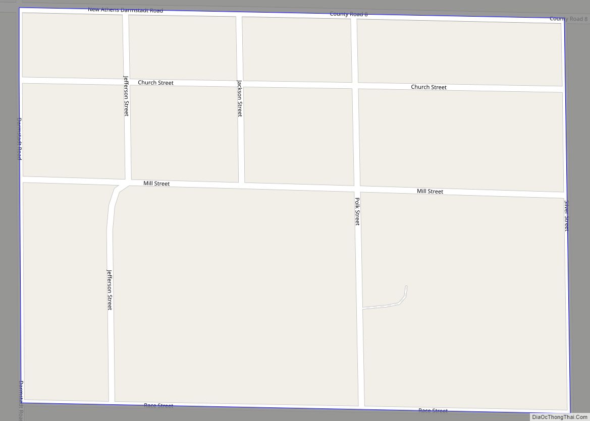
Online Interactive Map
Click on ![]() to view map in "full screen" mode.
to view map in "full screen" mode.
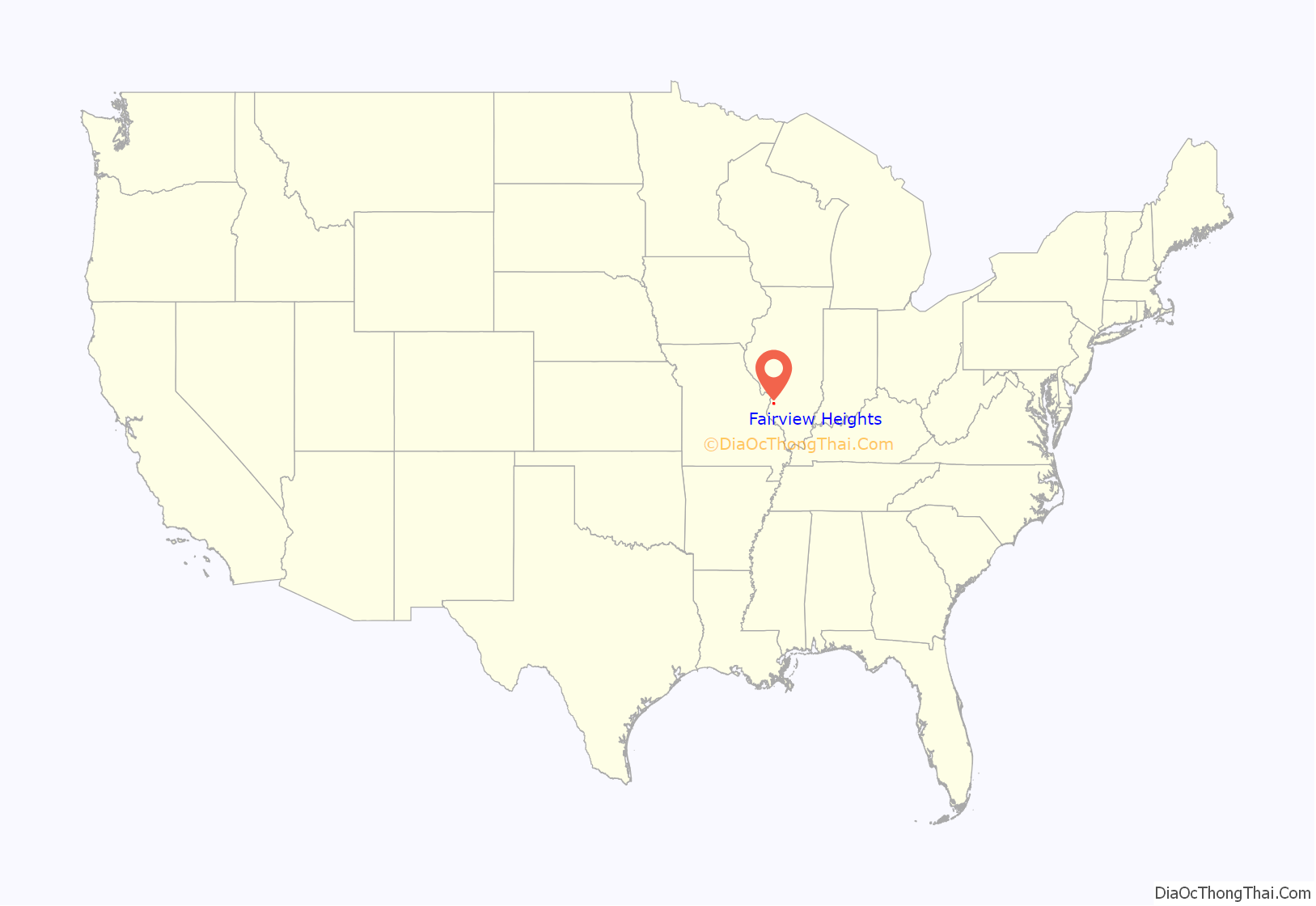
Fairview Heights location map. Where is Fairview Heights city?
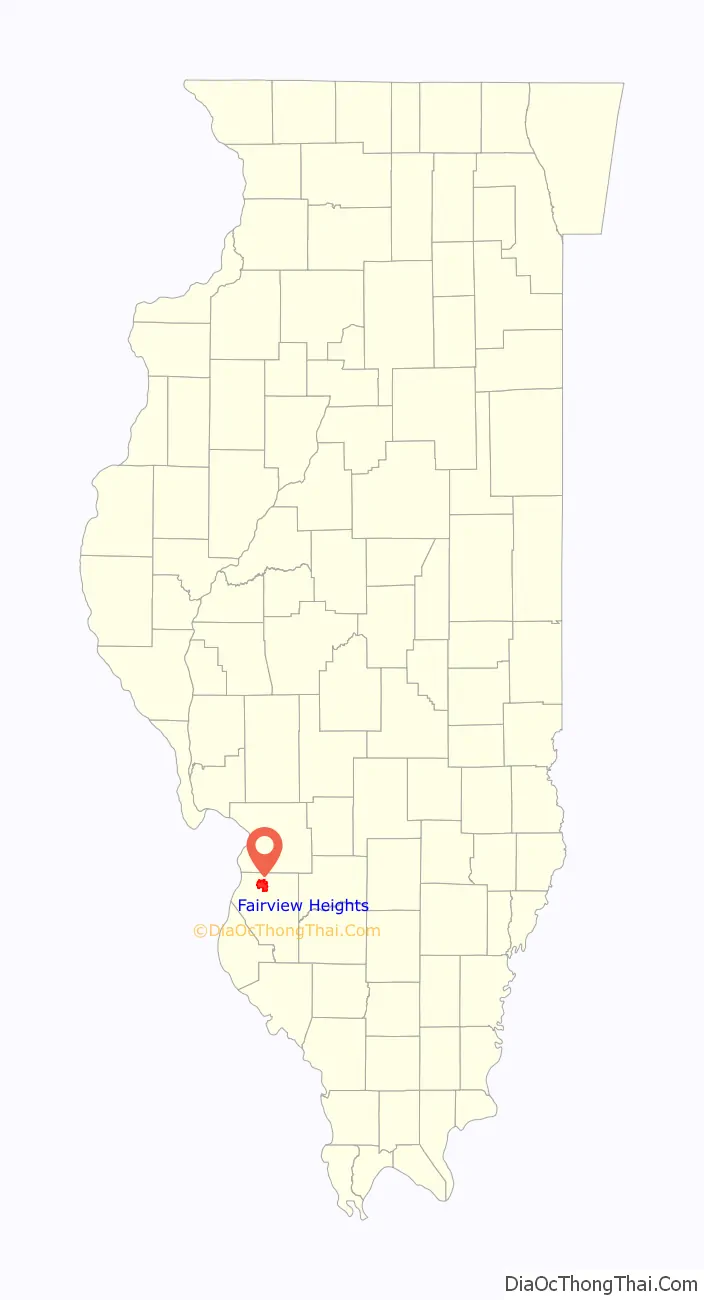
Fairview Heights Road Map
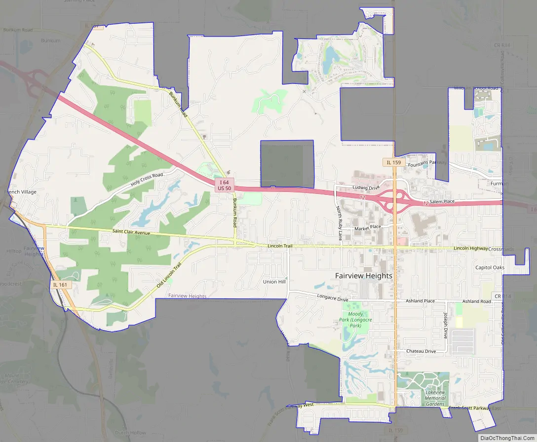
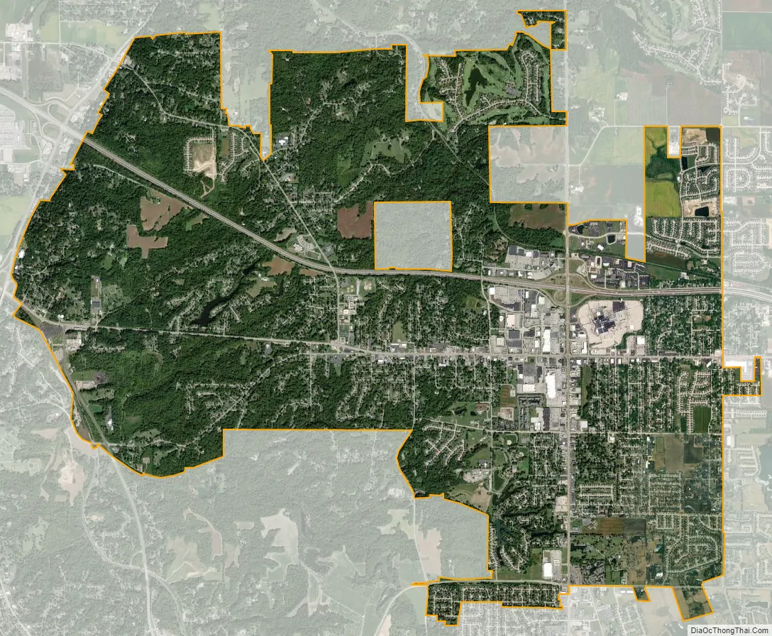
Fairview Heights city Satellite Map
Geography
Fairview Heights is located at 38°35′38″N 89°59′48″W / 38.593899°N 89.996649°W / 38.593899; -89.996649.
According to the 2010 census, Fairview Heights has a total area of 11.497 square miles (29.78 km), of which 11.42 square miles (29.58 km) (or 99.33%) is land and 0.077 square miles (0.20 km) (or 0.67%) is water.
French Village, Illinois is an unincorporated community (Class Code U4) located immediately west of Fairview Heights at 38°36′01″N 90°03′00″W / 38.600300°N 90.050100°W / 38.600300; -90.050100 (French Village, Illinois).
See also
Map of Illinois State and its subdivision:- Adams
- Alexander
- Bond
- Boone
- Brown
- Bureau
- Calhoun
- Carroll
- Cass
- Champaign
- Christian
- Clark
- Clay
- Clinton
- Coles
- Cook
- Crawford
- Cumberland
- De Kalb
- De Witt
- Douglas
- Dupage
- Edgar
- Edwards
- Effingham
- Fayette
- Ford
- Franklin
- Fulton
- Gallatin
- Greene
- Grundy
- Hamilton
- Hancock
- Hardin
- Henderson
- Henry
- Iroquois
- Jackson
- Jasper
- Jefferson
- Jersey
- Jo Daviess
- Johnson
- Kane
- Kankakee
- Kendall
- Knox
- La Salle
- Lake
- Lake Michigan
- Lawrence
- Lee
- Livingston
- Logan
- Macon
- Macoupin
- Madison
- Marion
- Marshall
- Mason
- Massac
- McDonough
- McHenry
- McLean
- Menard
- Mercer
- Monroe
- Montgomery
- Morgan
- Moultrie
- Ogle
- Peoria
- Perry
- Piatt
- Pike
- Pope
- Pulaski
- Putnam
- Randolph
- Richland
- Rock Island
- Saint Clair
- Saline
- Sangamon
- Schuyler
- Scott
- Shelby
- Stark
- Stephenson
- Tazewell
- Union
- Vermilion
- Wabash
- Warren
- Washington
- Wayne
- White
- Whiteside
- Will
- Williamson
- Winnebago
- Woodford
- Alabama
- Alaska
- Arizona
- Arkansas
- California
- Colorado
- Connecticut
- Delaware
- District of Columbia
- Florida
- Georgia
- Hawaii
- Idaho
- Illinois
- Indiana
- Iowa
- Kansas
- Kentucky
- Louisiana
- Maine
- Maryland
- Massachusetts
- Michigan
- Minnesota
- Mississippi
- Missouri
- Montana
- Nebraska
- Nevada
- New Hampshire
- New Jersey
- New Mexico
- New York
- North Carolina
- North Dakota
- Ohio
- Oklahoma
- Oregon
- Pennsylvania
- Rhode Island
- South Carolina
- South Dakota
- Tennessee
- Texas
- Utah
- Vermont
- Virginia
- Washington
- West Virginia
- Wisconsin
- Wyoming