Fox Lake is a village in Grant and Antioch townships in Lake County, Illinois and Burton Township, McHenry County, Illinois, United States. The population was 10,978 at the 2020 census. It is located approximately 57 miles north of Chicago.
| Name: | Fox Lake village |
|---|---|
| LSAD Code: | 47 |
| LSAD Description: | village (suffix) |
| State: | Illinois |
| County: | Lake County, McHenry County |
| Incorporated: | April 13, 1907 (1907-04-13) |
| Elevation: | 735 ft (224 m) |
| Total Area: | 9.44 sq mi (24.44 km²) |
| Land Area: | 7.83 sq mi (20.29 km²) |
| Water Area: | 1.60 sq mi (4.15 km²) |
| Total Population: | 10,978 |
| Population Density: | 1,401.51/sq mi (541.13/km²) |
| FIPS code: | 1727442 |
| Website: | www.foxlake.org |
Online Interactive Map
Click on ![]() to view map in "full screen" mode.
to view map in "full screen" mode.
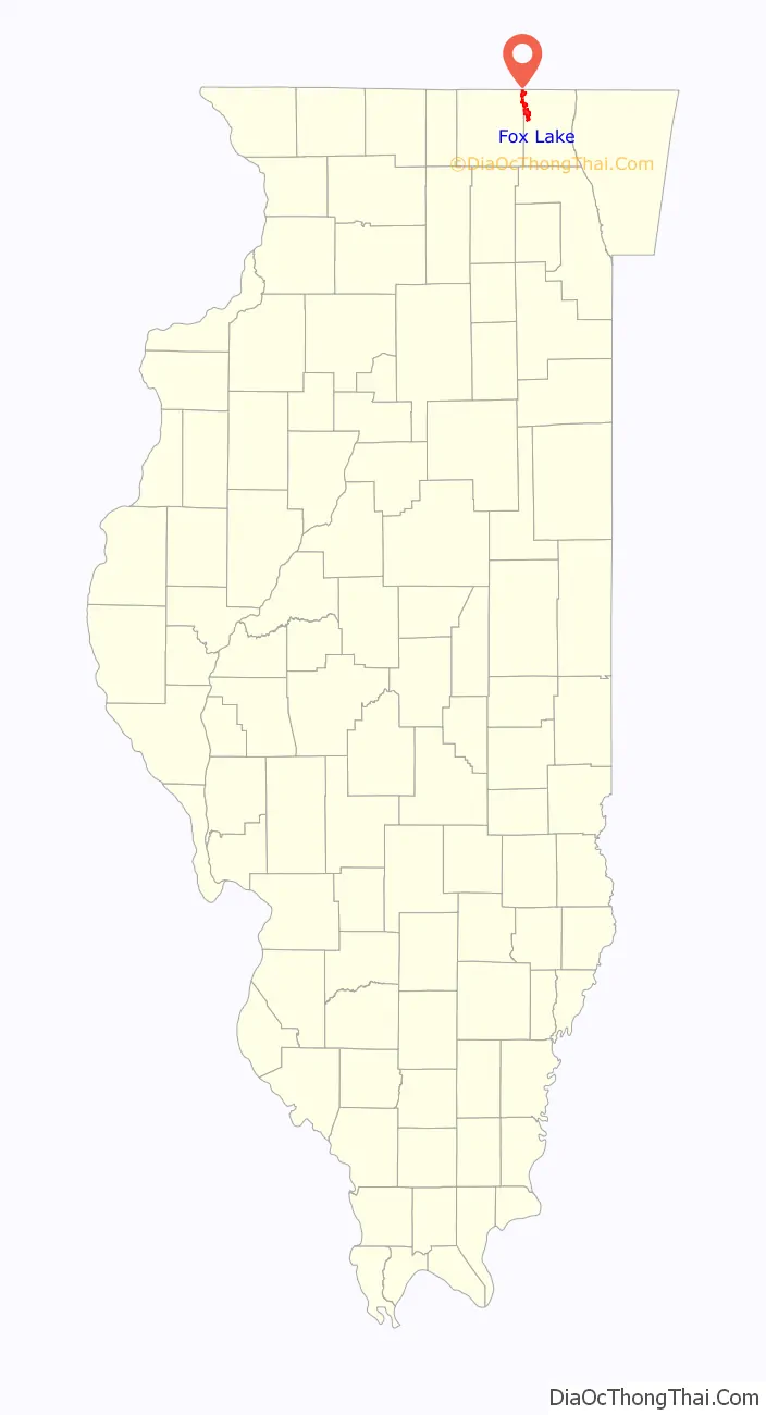
Fox Lake location map. Where is Fox Lake village?
History
The village was incorporated on December 15, 1906, and certified by the state on April 13, 1907. The area was first explored during the 17th century by the French. In the late 19th century, it was known as Nippersink Point. Early in the 20th century, there were but a few hundred residents. During the summer season, however, the population would reach an estimated 20,000 people, and at its peak, the area had 50 hotels and 2,000 cottages. Infamous Chicago gangster Al Capone is reported to have utilized an establishment now known as the Mineola Hotel and Restaurant as a hideout, although this has never been documented. In 1979, the Mineola was listed on the National Register of Historic Places and may be the largest wooden frame structure in the state.
Many Chicagoans have established summer homes in Fox Lake. The village is situated among the Chain O’Lakes, where swimming, boating, jet skiing, tubing and boarding are popular activities. In 2006, there were an estimated 28,000 boats registered on the lake system.
Boating accidents are prevalent in today’s society, however, number of accidents on Fox Lake have decreased in part to stricter regulations on boating under the influence of alcohol and other factors. Fiscal year 2010 had only one accident and death by boat. That number rose in 2015 to 3 accidents, 1 injury and 1 death. The two fatalities in 2015 were caused by drowning due to alcohol use.
In 2010, the new library opened next to the old library building. The new facility included expanded Adult and Youth Departments, a large public computer area, quiet study and reading rooms, and a Young Adult area.
Fox Lake came under the national spotlight in September 2015 when Lt. Joe Gliniewicz of the Fox Lake Police Department was found shot to death in a marsh after radioing that he was pursuing three subjects. The subsequent manhunt for the alleged shooters employed over 400 law enforcement personnel, impacted the entire local community, and sparked a debate in the media regarding the “War on Cops” and the Black Lives Matter movement. Thousands of people, including Governor Bruce Rauner, gathered for a funeral and memorial procession to show their support. After a two-month investigation, authorities concluded that Gliniewicz committed “a carefully staged suicide”. It was learned that he had been involved in financial malfeasance related to his job as the head of the local Police Explorers program and had even attempted to hire a gang member to kill the village administrator who he was concerned would discover his crimes during her financial audit of the program.
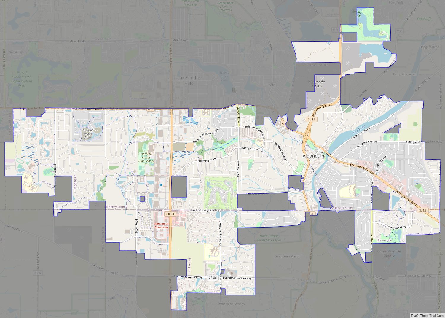
Fox Lake Road Map
Fox Lake city Satellite Map
Geography
Fox Lake is located at 42°24′12″N 88°10′58″W / 42.40333°N 88.18278°W / 42.40333; -88.18278 (42.4032677, -88.1828850), 55 miles (89 km) northwest of downtown Chicago and 20 miles (32 km) west of Waukegan, Illinois. The village center is located on the east shore of Pistakee Lake, and south shore of Nippersink Lake and Fox Lake, three connected water bodies that form part of the Chain O’Lakes system, flowing southwest via the Fox River to the Illinois River. The village limits extend north in a sinuous manner all the way to the Wisconsin border.
According to the 2010 census, Fox Lake has a total area of 9.942 square miles (25.75 km), of which 8.12 square miles (21.03 km) (or 81.67%) is land and 1.822 square miles (4.72 km) (or 18.33%) is water.
Major streets
- Wilmot Road
- State Park Road
- Grass Lake Road
- U.S. Route 12
- Grand Avenue
- Illinois Route 173
- Rollins Road
- Big Hollow Road
- Nippersink Road
See also
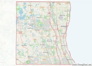
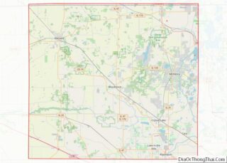
Map of Illinois State and its subdivision:- Adams
- Alexander
- Bond
- Boone
- Brown
- Bureau
- Calhoun
- Carroll
- Cass
- Champaign
- Christian
- Clark
- Clay
- Clinton
- Coles
- Cook
- Crawford
- Cumberland
- De Kalb
- De Witt
- Douglas
- Dupage
- Edgar
- Edwards
- Effingham
- Fayette
- Ford
- Franklin
- Fulton
- Gallatin
- Greene
- Grundy
- Hamilton
- Hancock
- Hardin
- Henderson
- Henry
- Iroquois
- Jackson
- Jasper
- Jefferson
- Jersey
- Jo Daviess
- Johnson
- Kane
- Kankakee
- Kendall
- Knox
- La Salle
- Lake
- Lake Michigan
- Lawrence
- Lee
- Livingston
- Logan
- Macon
- Macoupin
- Madison
- Marion
- Marshall
- Mason
- Massac
- McDonough
- McHenry
- McLean
- Menard
- Mercer
- Monroe
- Montgomery
- Morgan
- Moultrie
- Ogle
- Peoria
- Perry
- Piatt
- Pike
- Pope
- Pulaski
- Putnam
- Randolph
- Richland
- Rock Island
- Saint Clair
- Saline
- Sangamon
- Schuyler
- Scott
- Shelby
- Stark
- Stephenson
- Tazewell
- Union
- Vermilion
- Wabash
- Warren
- Washington
- Wayne
- White
- Whiteside
- Will
- Williamson
- Winnebago
- Woodford
- Alabama
- Alaska
- Arizona
- Arkansas
- California
- Colorado
- Connecticut
- Delaware
- District of Columbia
- Florida
- Georgia
- Hawaii
- Idaho
- Illinois
- Indiana
- Iowa
- Kansas
- Kentucky
- Louisiana
- Maine
- Maryland
- Massachusetts
- Michigan
- Minnesota
- Mississippi
- Missouri
- Montana
- Nebraska
- Nevada
- New Hampshire
- New Jersey
- New Mexico
- New York
- North Carolina
- North Dakota
- Ohio
- Oklahoma
- Oregon
- Pennsylvania
- Rhode Island
- South Carolina
- South Dakota
- Tennessee
- Texas
- Utah
- Vermont
- Virginia
- Washington
- West Virginia
- Wisconsin
- Wyoming

