Galatia is a village in Saline County, Illinois, in the United States. As of the 2010 census, the village population was 933.
| Name: | Galatia village |
|---|---|
| LSAD Code: | 47 |
| LSAD Description: | village (suffix) |
| State: | Illinois |
| County: | Saline County |
| Total Area: | 1.98 sq mi (5.13 km²) |
| Land Area: | 1.95 sq mi (5.06 km²) |
| Water Area: | 0.03 sq mi (0.07 km²) |
| Total Population: | 827 |
| Population Density: | 423.67/sq mi (163.55/km²) |
| Area code: | 618 |
| FIPS code: | 1728261 |
Online Interactive Map
Click on ![]() to view map in "full screen" mode.
to view map in "full screen" mode.
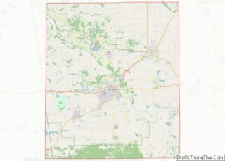
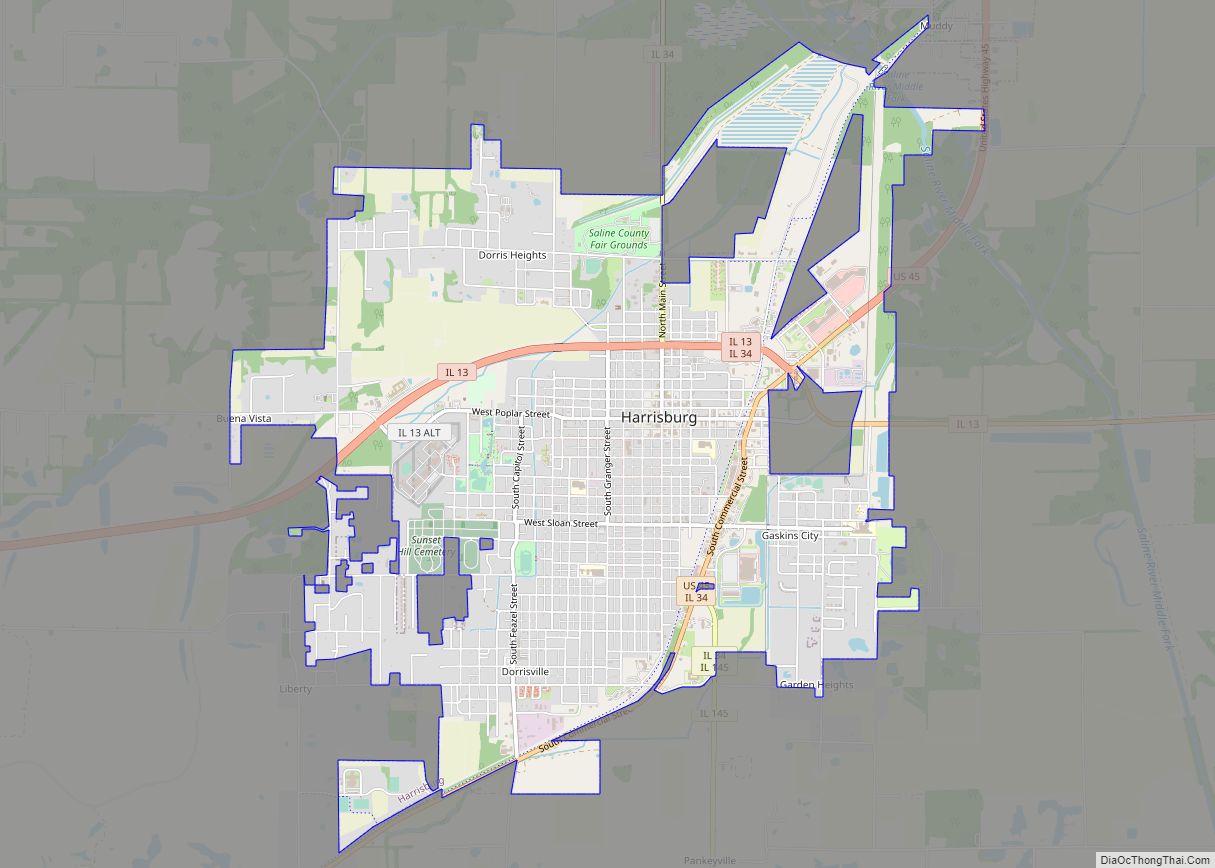
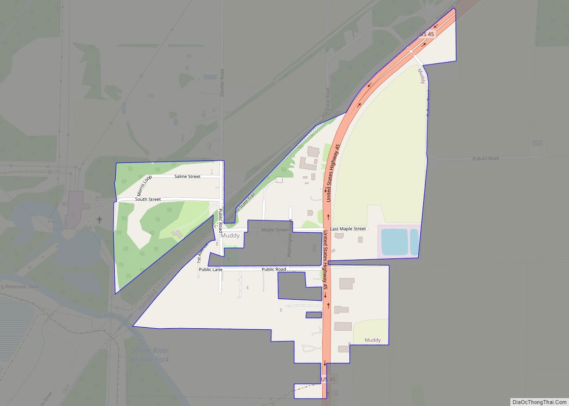
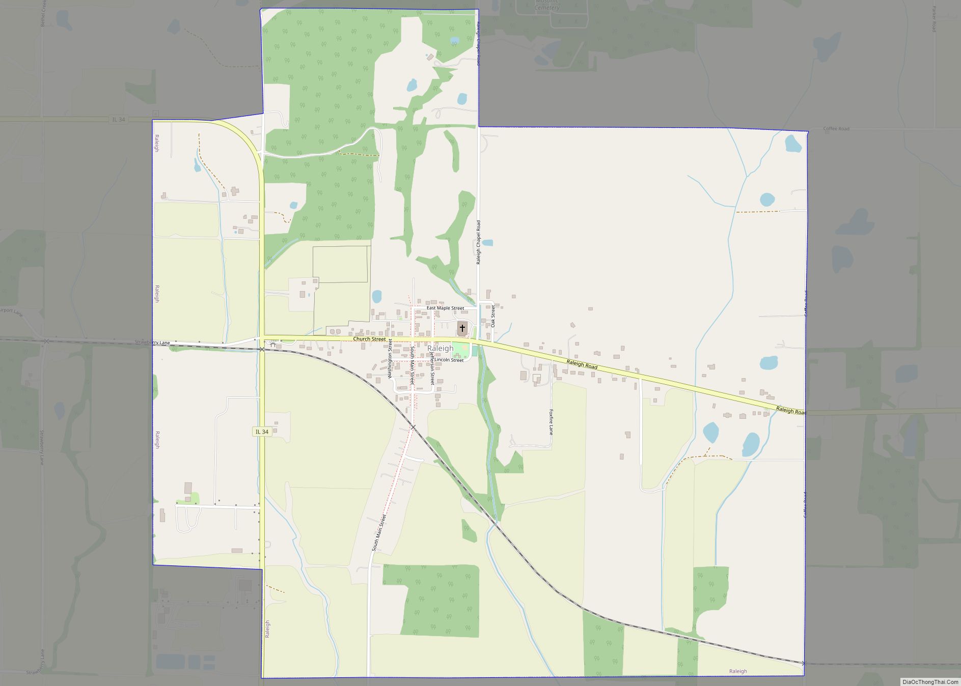
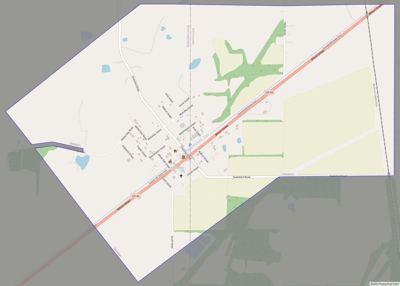
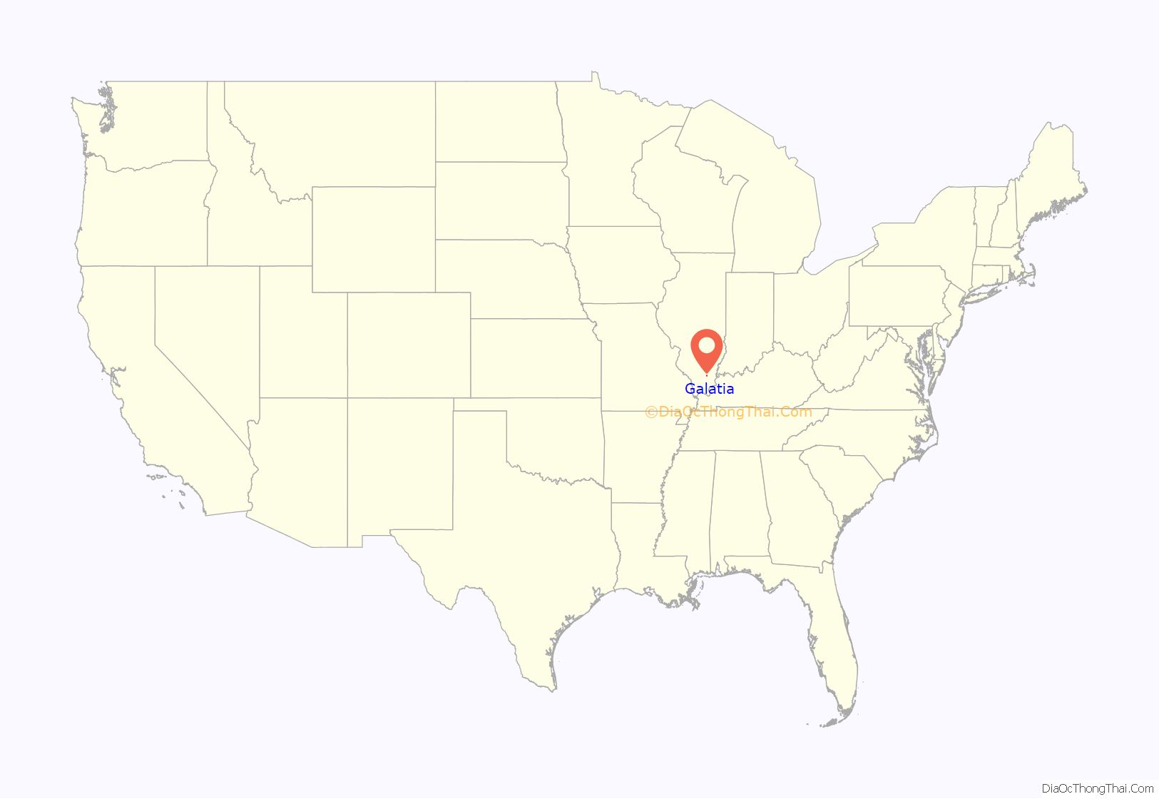
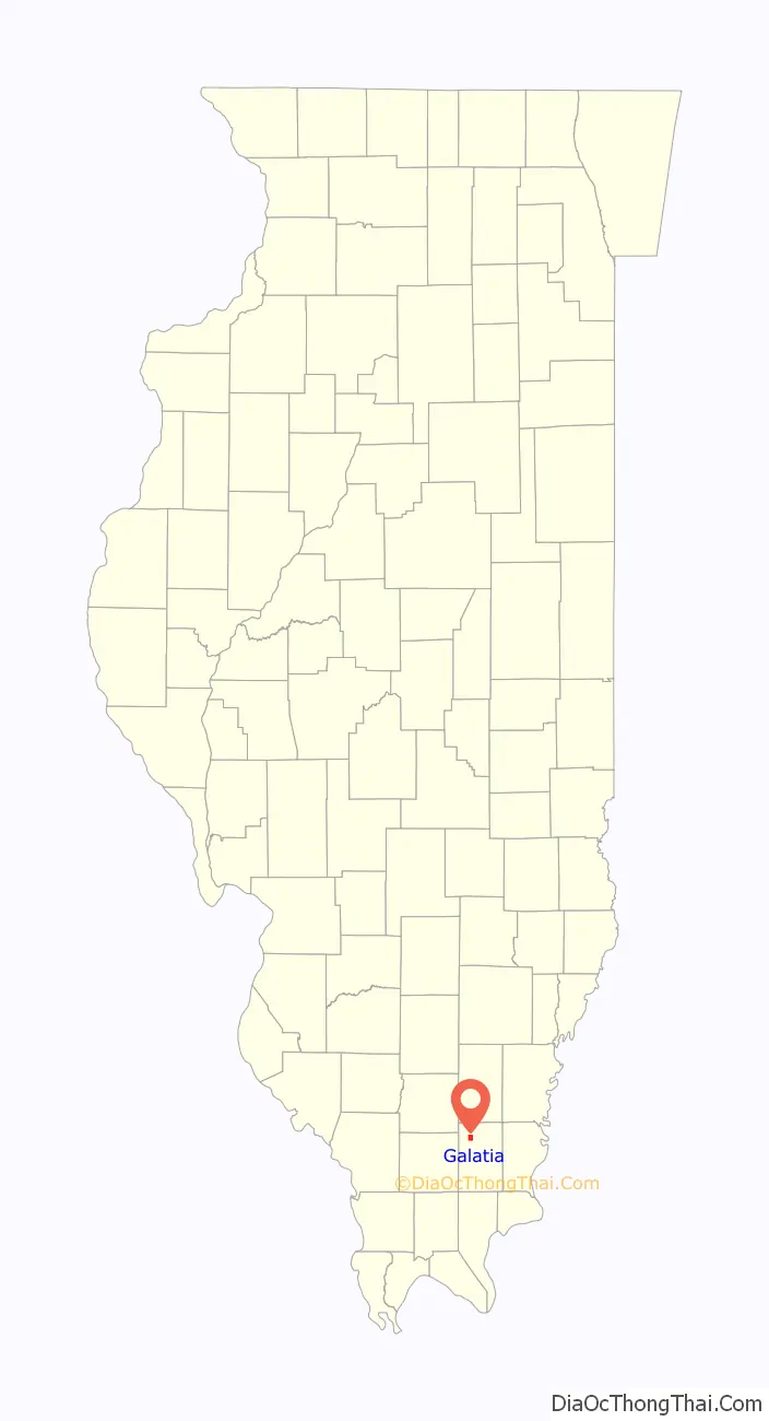
Galatia location map. Where is Galatia village?
History
Galatia is named for Albert Gallatin. The village was established as a tobacco farming hub in the mid-1800s. Tobacco grown in the area was hauled to Shawneetown to be shipped along the Ohio River. Two coal mines opened near Galatia in the early 1900s, the Harco Mine and the Galatia Colliers Mine.
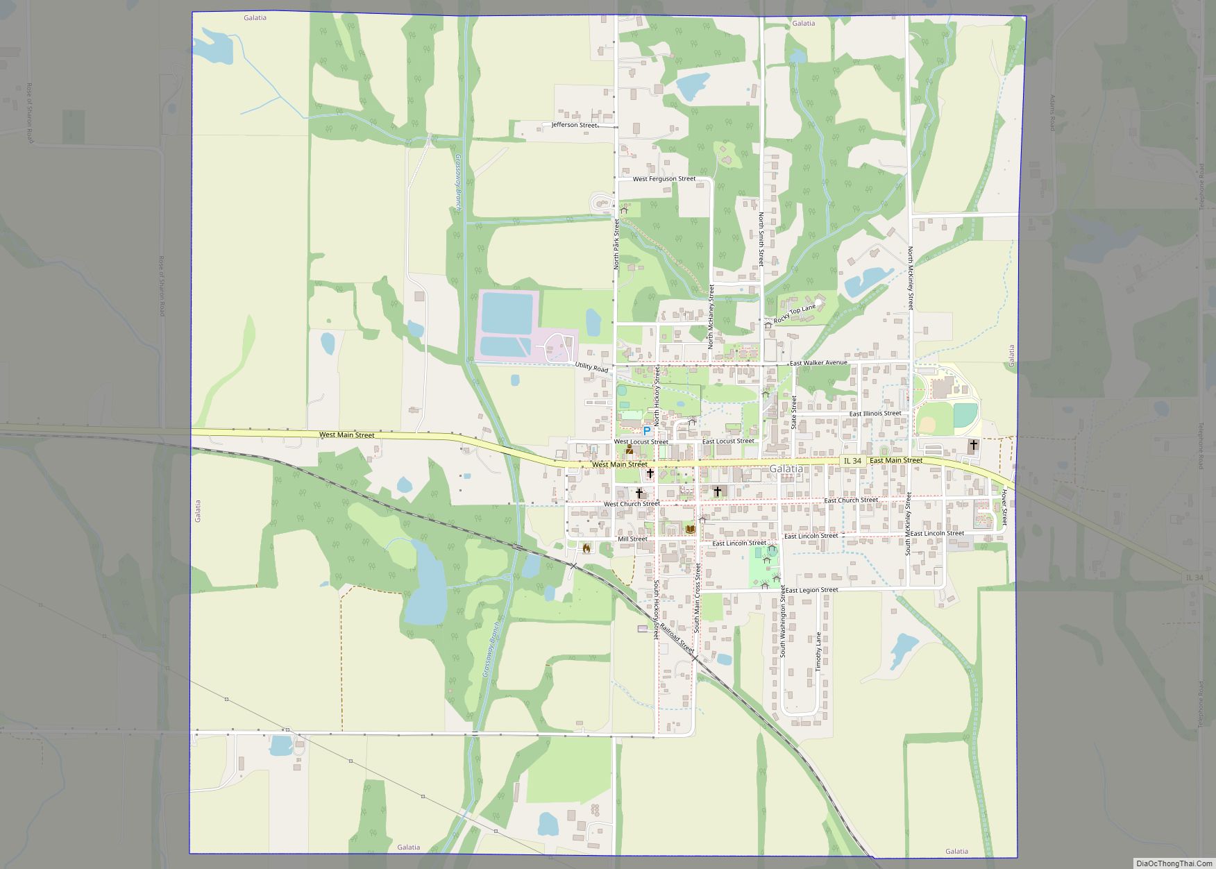
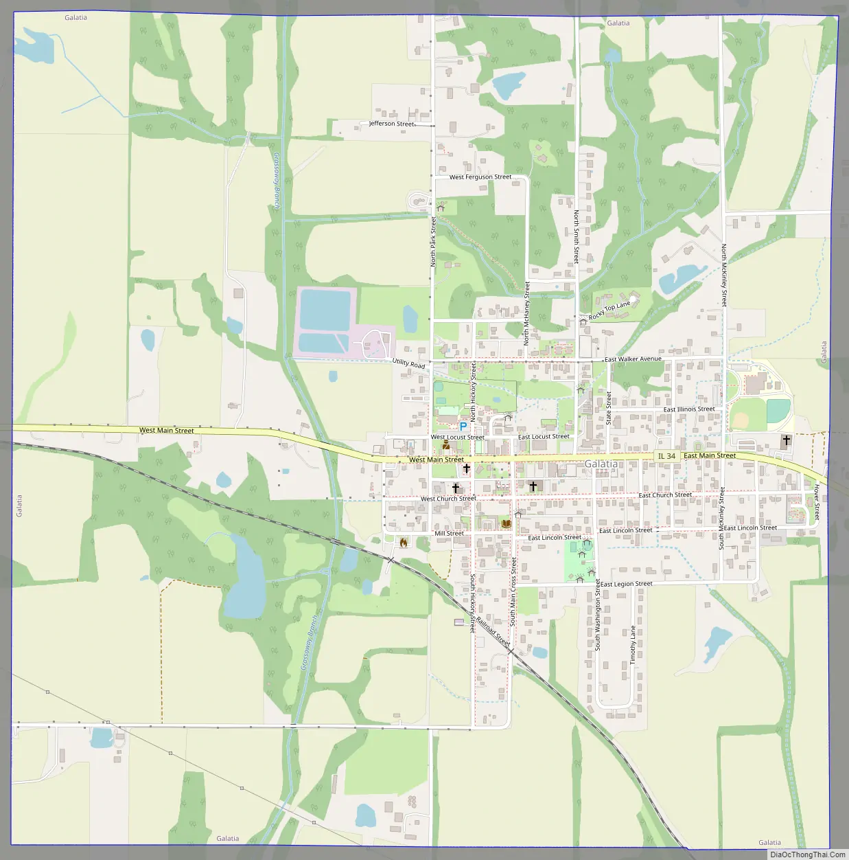
Galatia Road Map
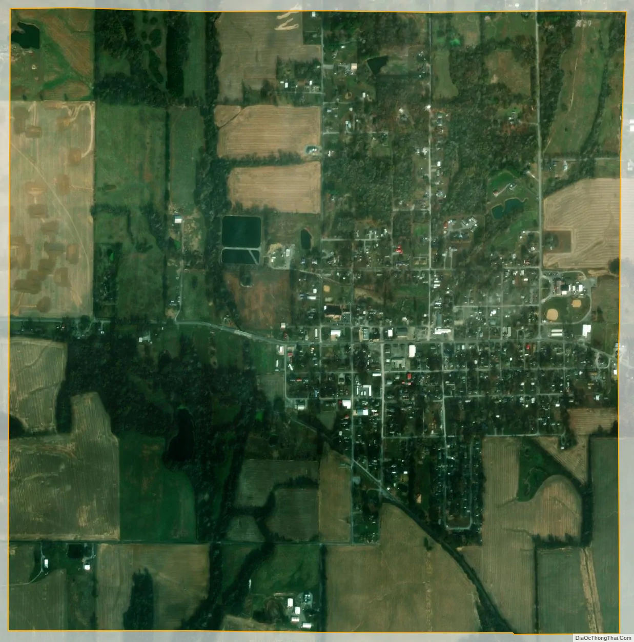
Galatia city Satellite Map
Geography
Galatia is located at 37°50′25″N 88°36′39″W / 37.84028°N 88.61083°W / 37.84028; -88.61083 (37.840409, -88.610815).
According to the 2010 census, Galatia has a total area of 1.979 square miles (5.13 km), of which 1.95 square miles (5.05 km) (or 98.53%) is land and 0.029 square miles (0.08 km) (or 1.47%) is water.
There are coal mines in the vicinity of Galatia which have been used for climate change studies.
See also
Map of Illinois State and its subdivision:- Adams
- Alexander
- Bond
- Boone
- Brown
- Bureau
- Calhoun
- Carroll
- Cass
- Champaign
- Christian
- Clark
- Clay
- Clinton
- Coles
- Cook
- Crawford
- Cumberland
- De Kalb
- De Witt
- Douglas
- Dupage
- Edgar
- Edwards
- Effingham
- Fayette
- Ford
- Franklin
- Fulton
- Gallatin
- Greene
- Grundy
- Hamilton
- Hancock
- Hardin
- Henderson
- Henry
- Iroquois
- Jackson
- Jasper
- Jefferson
- Jersey
- Jo Daviess
- Johnson
- Kane
- Kankakee
- Kendall
- Knox
- La Salle
- Lake
- Lake Michigan
- Lawrence
- Lee
- Livingston
- Logan
- Macon
- Macoupin
- Madison
- Marion
- Marshall
- Mason
- Massac
- McDonough
- McHenry
- McLean
- Menard
- Mercer
- Monroe
- Montgomery
- Morgan
- Moultrie
- Ogle
- Peoria
- Perry
- Piatt
- Pike
- Pope
- Pulaski
- Putnam
- Randolph
- Richland
- Rock Island
- Saint Clair
- Saline
- Sangamon
- Schuyler
- Scott
- Shelby
- Stark
- Stephenson
- Tazewell
- Union
- Vermilion
- Wabash
- Warren
- Washington
- Wayne
- White
- Whiteside
- Will
- Williamson
- Winnebago
- Woodford
- Alabama
- Alaska
- Arizona
- Arkansas
- California
- Colorado
- Connecticut
- Delaware
- District of Columbia
- Florida
- Georgia
- Hawaii
- Idaho
- Illinois
- Indiana
- Iowa
- Kansas
- Kentucky
- Louisiana
- Maine
- Maryland
- Massachusetts
- Michigan
- Minnesota
- Mississippi
- Missouri
- Montana
- Nebraska
- Nevada
- New Hampshire
- New Jersey
- New Mexico
- New York
- North Carolina
- North Dakota
- Ohio
- Oklahoma
- Oregon
- Pennsylvania
- Rhode Island
- South Carolina
- South Dakota
- Tennessee
- Texas
- Utah
- Vermont
- Virginia
- Washington
- West Virginia
- Wisconsin
- Wyoming